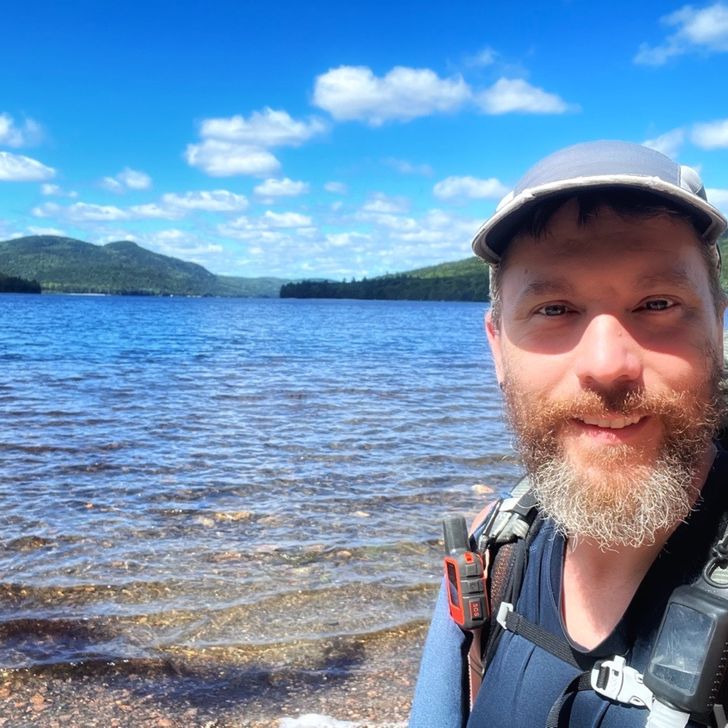
2022 Appalachian Trail Thru-hike

6
Sep
2022

Day 196

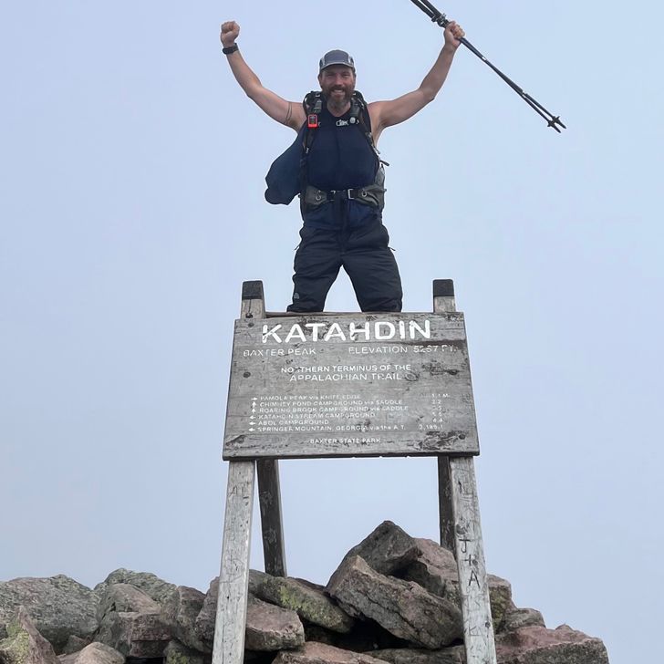
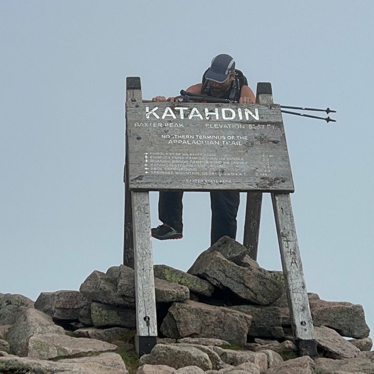
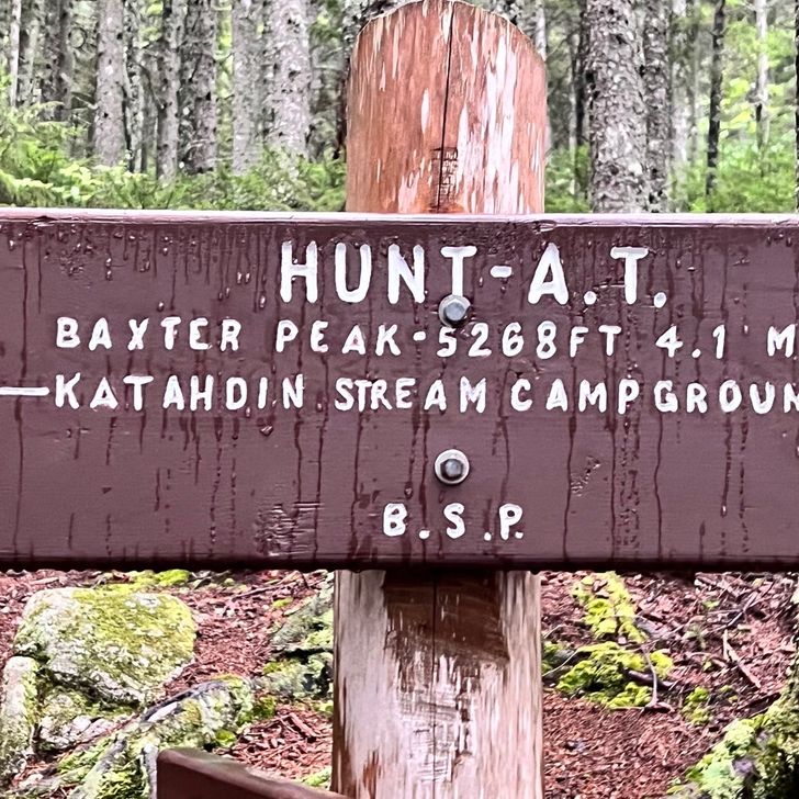
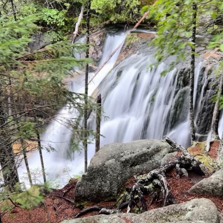
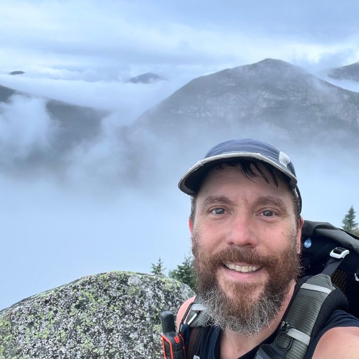
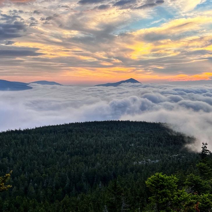
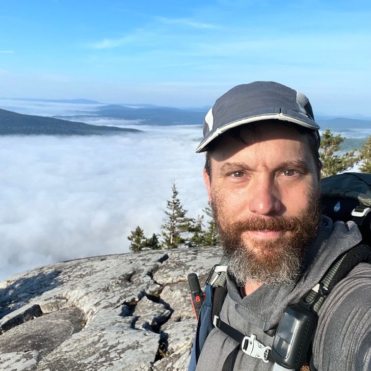
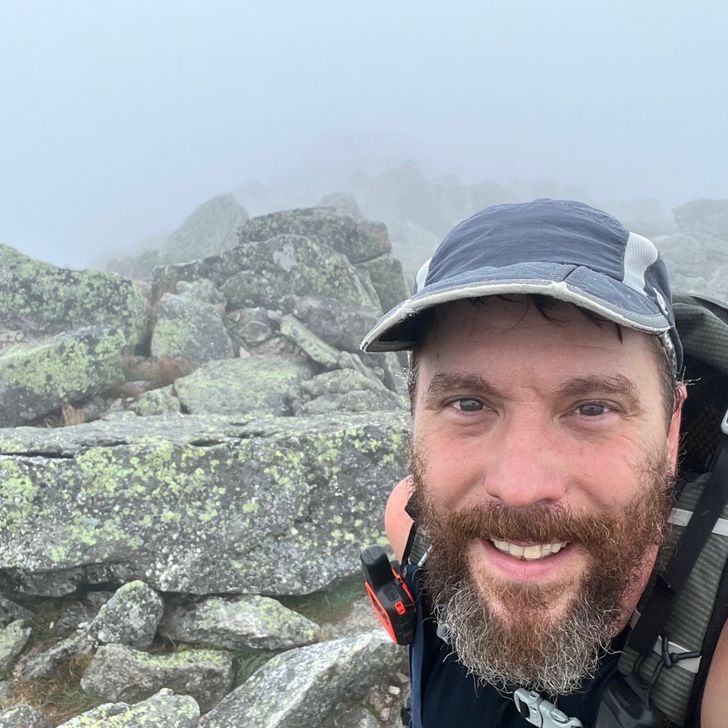
It didn’t stop raining. It was constant all night into the morning. I woke up around 1am and it was still pouring and the whole bottom of my tent was flooded. There’s a hole in the bottom and I definitely didn’t pitch the tent for rain like this. When I got out, I found the area I had to put my tent turned into a pool and I was right in the middle of it. I had to put my rain gear and shoes on INSIDE the tent just to keep my clothes dry. This is it though. The last day and what a way to start it out. Absolutely soaked! Nothing was going to ruin this day though. This is what it’s all come down to. This day. I packed up, got a fist bump from Sparkle and we headed up the mountain. It felt like final exam. The AT climbs up Mount Katahdin via the Hunt Trail. It started with an easy sloped trail of rocks, roots and some muddy spots. The hike up today was only 5.3 miles but it was an incredibly serious climb. After passing by the beautiful Katahdin Stream Falls, the hike turned into a boulder scramble. We quickly had to put our trekking poles away and start using our hands to balance ourselves or pull ourselves up using roots, trees or rock edges. Once we cleared tree line, it was down right rock climbing. We were ascending a few thousand feet in a very short distance. I was able to get some nice views on the way up but we were quickly deep in the clouds so the final push up the Great Mountain, which is what Katahdin actually means in the local native tribe’s language, was pretty much gray everywhere. It took us a little over 4 hours but finally I could see ahead of me in the gray mist the shape of an A-frame sign and I knew it was finally over. It took me 196 days to complete my goal of thru hiking the Appalachian Trail northbound but I did it. It was a proud moment as I approached that sign. Other thru hikers already up there were clapping and saying their congrats. I just kept my eyes on that sign until I was standing in front of it, reached out, and placed my hand on its surface. That was it! On February 25th I touched the first white blaze on top of Springer Mountain in Georgia. On September 6th I touched that famous sign on top of Mount Katahdin in Baxter State Park in Maine; both separated by a mere 2,194.3 miles of trail over the Appalachian mountain range. To say I felt like I was on top of the world as I climbed the back of that sign and threw my hands in the air would be an understatement. I will remember and cherish that moment for the rest of my life. I will always remember the amazing people I met on and off the trail along the way. I will always remember the ups and the downs, both literally and figuratively. After resting on top of Katahdin and getting my picture taken by the massive cairn that marks the actual summit, Baxter Peak, we started our hike down via the Abol Trail, which was much steeper but shorter than the Hunt Trail. It felt like a completely different hike. I was no longer following white blazes but following blue blazes down the mountain. My legs were working on autopilot and I felt like I didn’t have a care in the world. It was a crazy climb down and it took almost as long to get down the mountain as it did going up even though it was something like a mile or more shorter. Once below tree line though, the trail was extremely smooth and it was a great ending to an amazing trip. I hung around by the main road in Baxter State Park with Sparkle and Rodney who with his wife, Robyn, is known as R & R. It was a happy moment when I saw Jason pull up driving my car. He gave me a clean shirt and some wet wipes as well as pulled out a can of lysol and sprayed all of our packs. LOL! Jason then gave us a ride back to the ranger station where Sparkle met up with her sister and mom after such a long trip of her own and we also picked up Robyn. We offered to take R & R to Millinocket so they didn’t have to pay for a shuttle. On the way there, they mentioned they planned on being near Portland in a couple days. They would have to bus hop over a couple days to get near Portland where they then wanted to head to Amtrak and would take the train back down to North Carolina. Well, since we were driving to Portland anyway to go home, of course we said they should just stay with us and we were able to cut their travel short by a couple days and save them from having to pay for multiple busses. They found a hotel to stay for the night a short distance from our apartment so that made it super easy. I’m sure Jason just enjoyed having not one but three stinky hikers in the car. Remember that we had to hike through the 100-mile wilderness and not go into any town before entering Baxter State Park to get our free hiker permits to climb Katahdin. I know I hadn’t had a shower in 10 days from then and I’m sure they were close to the same. Let’s just say we were pretty ripe. I mean, we could wash off in streams but the real stink is in your clothes and gear since that’s not as easy to really clean every day while you are actively sweating in them. Anyway, R & R are an amazing couple and I’m so happy to have met and hiked around them. They’re bee keepers and I’m looking forward to getting a jar of their honey in the mail. (I gave them my favorite cocktail recipe using honey in exchange.) Okay, let’s wrap this up. It’s a long entry but it’s most likely my last. Jason and I got home to our new apartment after 9pm. I was exhausted but I tried to focus as he showed me the place. It really was strange being in an apartment with some recognizable furniture and some not in a new place. It felt like I was in an AirBnB and I didn’t want to touch anything. After a shower, our friends Pete & Pam came over and we had some celebratory drinks and they gifted me with a T-Shirt. Many times I’ve said I wanted to get a shirt made that said, “Powered By Cheese” because I said that many times as I would eat a cheese stick before climbing a steep mountain. Well, that’s what the shirt said. I’ll smile every time I see that shirt because it will have a deeper meaning than what most will understand when they see me wearing it. So here we are. At the end. Time to readjust to civilization again. I have to get to know my new home. I have a massive list of things to do from getting my dental emergency dealt with, a much needed haircut and beard trim, go through my boxes of clothes and help go through our stuff to really make this place home and to send the rest to storage until we get our house built. Then there’s also getting a new driver’s license and registering my motorcycle and car. Ultimately, I’ll also have to figure out what I’ll be doing for work as well. It’s all a big undertaking but it’s my next big adventure. For now, I’m mostly excited to head back to Florida to throw a celebration party and to see everyone and thank many of you in person. Thank you all who have followed my rambling journals. I appreciate you all and you’re all part of this successful adventure. Again, thank you all! Signing out… -Last Call
Vista previa de foto del día 1
Vista previa de foto del día 2
Vista previa de foto del día 3
Vista previa de foto del día 4
Vista previa de foto del día 5
Vista previa de foto del día 6
+7
5
Sep
2022

Day 195

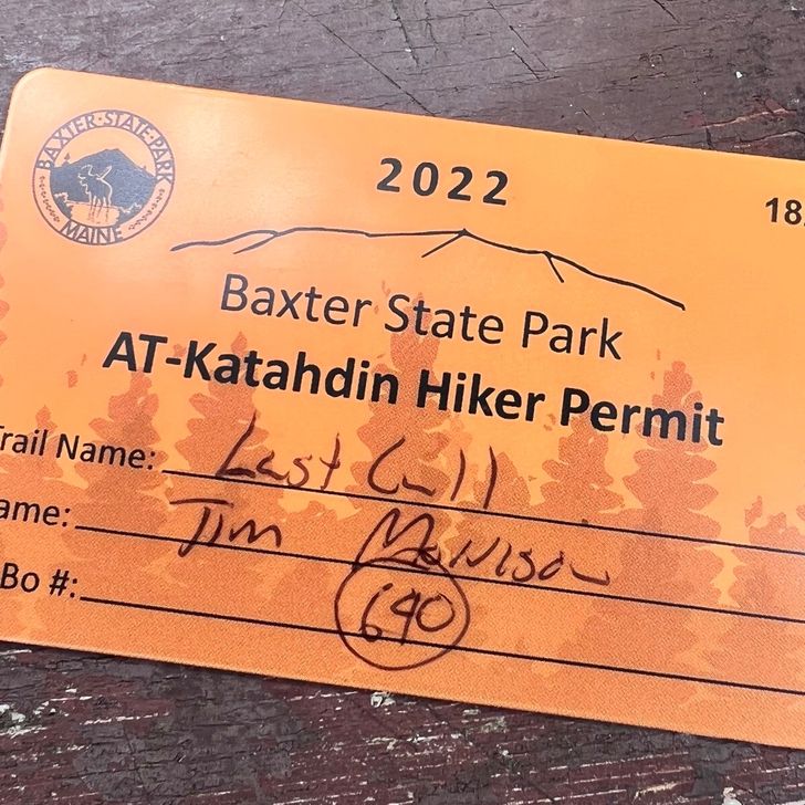
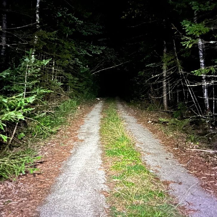
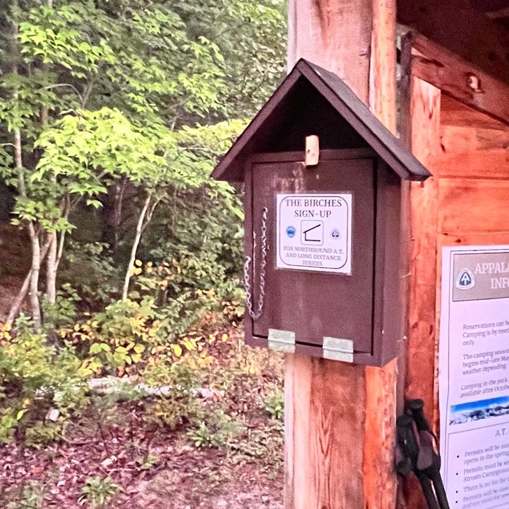
My watch started vibrating at 4am. I was already awake ready to start for an early day and essentially my first night hike in the early morning dark. Did it turn out to be necessary? No, but I felt better making sure I was one of the first 12 hikers to arrive at the Baxter State Park kiosk where a ranger would show up at 7am with The Birches signup sheet. They only allow 12 long distance hikers stay there so unfortunately it becomes a race for hikers wanting to stay in the park before summiting the next day if they don’t have camping reservations at the other campgrounds. Sparkle and I ended up being the first two there followed by another couple about 10 minutes later. By 7:03am when the ranger was walking up, we had 8 hikers standing there. There would only be enough room for 4 more after that. The hike in to the park was very nice. It was an incredibly easy 10 mile day. As we got close to the ranger station, we could see where the native tribe was holding their private rituals so we quietly passed and headed to meet the ranger who would take our $10 camping payment, get our information and then give us our park permits as well as a slip we drop off when exiting the park so they know we are gone. I got #690 on my park permit. It doesn’t have anything to do with my starting tag # of 452 or my Harper’s Ferry # on my picture there of 476. It’s just their 690th permit given out for all hikers, NOBO, flip flop, SOBO, etc. After that, we headed to The Birches and I set up my tent right next to the lean-tos as required by their rules. As soon as I finished having my lunch, the rain started and I jumped in my tent to get comfy. Of course I have to end up with a muddy, soaked tent for my final day. LOL! Oh well. I hope it stops raining by 5pm so I can cook my last dinner on trail. I’ll then be all set to get up at 5am, pack up and hit the trail around 6am. I have 5.3 miles to the top of Katadhin and then my 2022 Appalachian Trail Northbound Thru-Hike will be complete. At the summit after taking my pictures by the Katadhin sign, I’ll send Jason a text letting him know I summited and I’m heading back down. I’ll go down a different trail (Abol Trail) where he will be able to enter the park and come get me. One last night in this tent and then I get to go home tomorrow. It’s so surreal. I’m proud of what I’ve accomplished and I’m glad it is one day away from being over but I’ll kind of miss the freedom being out here has given me. Will I ever hike again? Absolutely! It will just be shorter trips from now on. At this point in time, I don’t have any cares of hiking that requires hitching or shuttling rides to get resupplies and to get cleaned up before going back out. I’m good with keeping trips short enough that resupplies aren’t necessary and I can carry just what I need for each outing. Who knows if my mind will ever change in the future but for now, my itch to do a massive thru hike like this has been scratched.

Vista previa de foto del día 1
Vista previa de foto del día 2
Vista previa de foto del día 3
Vista previa de foto del día 4
Vista previa de foto del día 5
Vista previa de foto del día 6
+2
4
Sep
2022

Day 194

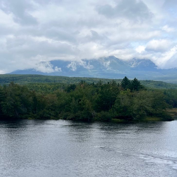
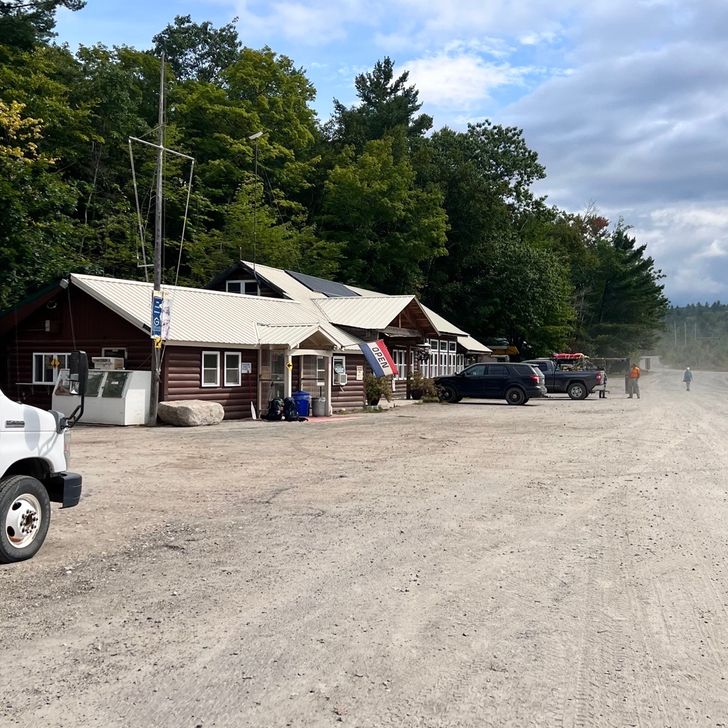
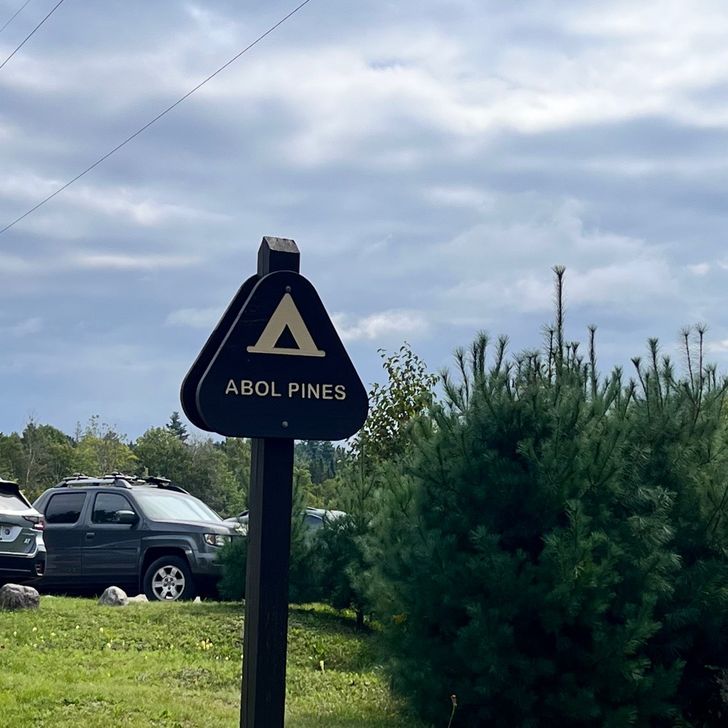
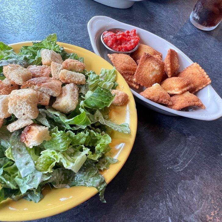
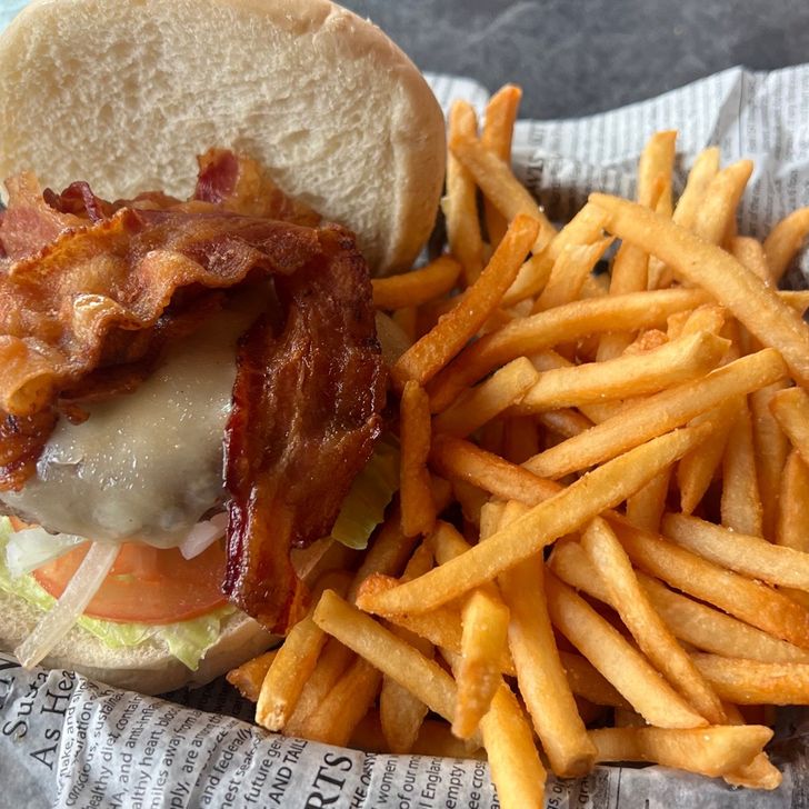
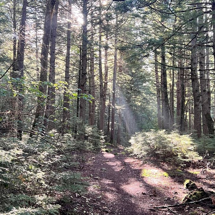
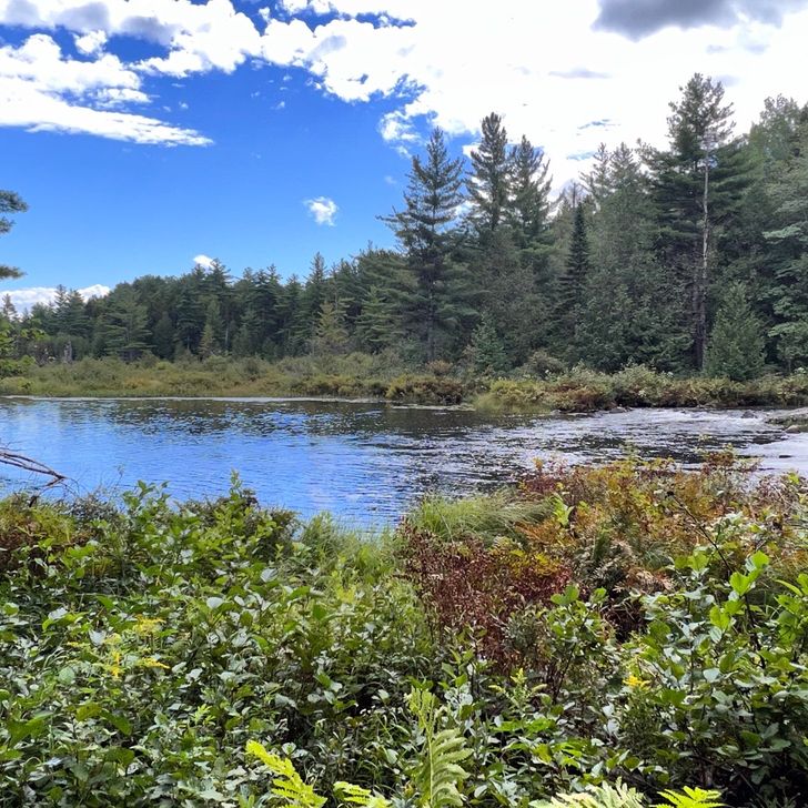
Pretty easy day. Got up early and hit the trail. There were a couple easy climbs that were super easy considering all we’ve been through. Funny how I don’t even want to climb the simplest hill though. It’s like our bodies know the end is almost here so it’s already starting to wind down. Not yet legs. We still have some serious work ahead of us. Even after we hike up Katadhin, we still have to hike quite a few miles back down. LOL! I came up to a sign that said “Donut Pond.” Now they’re just teasing our hiker hunger. I looked but I didn’t see any donuts. I mean, there are mushrooms that look like bagels but that’s about it. The trail today was mostly a dense forest covered in green moss everywhere with beautiful ponds with boulders jutting out at the edges. It was quite a beautiful way to end the 100-mile wilderness. It was bitter sweet seeing the warning sign for the 100-mile wilderness signifying that we left it. It was a beautiful section. I keep thinking back to Antlers Campsite as the best camp spot ever! One on side I’m glad it’s so far in to the wilderness to keep it pristine and away from weekend warriors who’d just trash it. On the other side I wish it was easier to get to as I’d love to go back to camp there again. After leaving the wilderness area, I hit the road that crosses Abol Bridge where I knew I’d have a direct view of Katadhin. It’s an extremely cloudy day so we could see a lot of the base of the mountain but the peaks were covered in clouds. I’m still happy to have gotten a pic on the bridge with the mountain behind me. After that, Sparkle and I grabbed a campsite at Abol Pines. It’s $12 per person but $6 for Maine residents. I’m now a Maine resident but don’t have any way to prove that. I’m still carrying a FL driver’s license. Oh well. We paid the fee and set up our tents to then walk over to the Abol Store & Restaurant. I had misunderstood all the warnings to get cash before leaving Monson because after you leave the 100-mile wilderness, everything here would be cash only and there wasn’t an ATM at the store. I took that meaning the store and the restaurant were also cash only. I went ahead and walked over there hoping they just had a convenience store sandwich or something as I wanted to keep my cash in case I have to pay for a pricy camp spot tomorrow and I was happy to find out they do take credit cards. You better believe I made a bee line right to the restaurant where I got fried raviolis, Caesar salad, bacon cheeseburger and fries and two beers. Then in the store I grabbed a small lemon pie with a root beer to take back to my tent. Yum! Pie after I make my dinner! I’m typing this in my tent and I’m still stuffed after the big lunch. I might just end up having the pie and save the dinner. Ooh, maybe I’ll have a double dinner tomorrow! Hahaha! It’s crazy this trip is almost over and I’ll need to put myself on a strict diet. This body is still going to have hiker hunger but I’m not going to be burning the calories to burn it off. I see grilled chicken salads in my future… with no bread. Oh, I’ll add this since it’s something I’ve been dealing with for the last few days and it’s starting to get a bit serious. I have a new problem. Before I left to hike the AT in February, I went to the dentist for a cleaning. The dentist pointed out that I had a calorie on one of my wisdom teeth. (I have all my teeth including my wisdom teeth.) She said she wasn’t going to fill it because she would rather remove all of my wisdom teeth. So I ended up hiking with a cavity that I hope wouldn’t bother me. She said it was small. Here I am over 6 months later and I’m now dealing with inflamed gums around that tooth and some pretty nasty pain. I’m taking multiple Aleve tablets every day and a couple Aleve PM at night. It’s most painful in the morning when I wake up. I just need to get through 2 more days to get back to the real world and then hopefully find a dentist to get that tooth removed well before I head back to Florida for my celebration party. Wish me luck with that one. Otherwise, I’ll just stay medicated until I can get it taken care of. Fun times! I have my alarm set for 4am. Sparkle and I are getting up really early to pack up and head off into Baxter State Park and to the kiosk to line up for The Birches signup sheet. Fingers crossed that gets us into the first 12 in line to get on the list. As long as that happens we’ll be set to continue hiking into the park and stay our final night in the woods. Then Tuesday morning we’ll climb Katadhin and get our summit picture on top of the sign marking us as official AT thru-hikers. WOOT!

Vista previa de foto del día 1
Vista previa de foto del día 2
Vista previa de foto del día 3
Vista previa de foto del día 4
Vista previa de foto del día 5
3
Sep
2022

Day 193

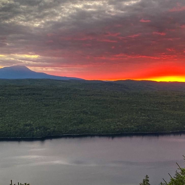
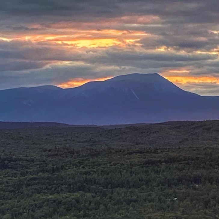
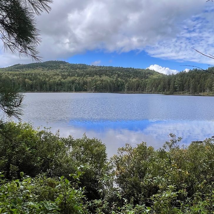
It was a cold start to the morning but we got to hike up to see another view of Katadhin. A fellow hiker we’ve been bumping in to from time to time camped up on top of the mountain and took amazing sunset and sunrise pictures. He shared some of them with me. Just beautiful! I cannot believe I’m so close. We stopped for lunch at Rainbow Stream Lean-to. There are tons of amazing tent sites all over this area and the stream is just amazing to listen to. It’s an awesome shelter area. Too early to stop though so we continued on to Rainbow Spring Campsite. It has limited spacing for tents and it was already full of tents with no one around. There were entries in the FarOut app saying the MATC crew were here doing work in the area but would be out by the 2nd. I guess they stuck around longer? It’s the 3rd and all their tents and gear are still here. No one around though. Sparkle and I had to set up our tents in a spot that was badly slanted. We’re making it work though. Oh well. I can deal with anything right now. I’m just ready to finish this. The mosquitoes around here are vicious though and I’m all out of bug spray. I’m having to wear my base layer pants and sun shirt with the hood up just to protect as much skin as possible. While putting my stakes into the ground, I could see 6 or more mosquitos at a time heading for my legs. I’m kicking back relaxing in my tent as I type this into my HikerFeed journal app and there’s literally around a dozen mosquitoes trying to come in through the netting of my tent. I’m dreading having to go out there to use the bathroom and make dinner. Anyway, tomorrow I’m hiking about 11.5 miles and will cross over Abol Bridge and am going to the Abol Pines Campsite. I’ll have to pay for a site but it will put me only .7 miles away from the kiosk in Baxter State Park where I’ll get to the following day and hope to be one of the first 12 hikers to get my name on The Birches signup sheet. That’s my only goal right now. Once I’m locked in to be able to stay at the Birches on Monday night, I’ll be lined up to summit Katadhin on Tuesday the 6th. I hate that they turn this hike into a game of cutthroat right at the end where all the hikers in the area are all rushing to be the first in line at the kiosk, or at least up to the 12th in line, so they can get into the park to stay at the lean-tos there to have a shorter hike up Katadhin and only have to pay $10 to stay at The Birches instead of up to $35 at the other campsites further away. It’s going to work out. I have to just have faith. I just wish it wasn’t during Labor Day as I’m told all the campsites are already booked solid for the holiday and because the native Indian tribe is there having their rituals. Wish me luck. I want to get this climb over with!
Vista previa de foto del día 1
Vista previa de foto del día 2
Vista previa de foto del día 3
Vista previa de foto del día 4
Vista previa de foto del día 5
Vista previa de foto del día 6
+1
11.7 mi
30,765
2
Sep
2022

Day 192

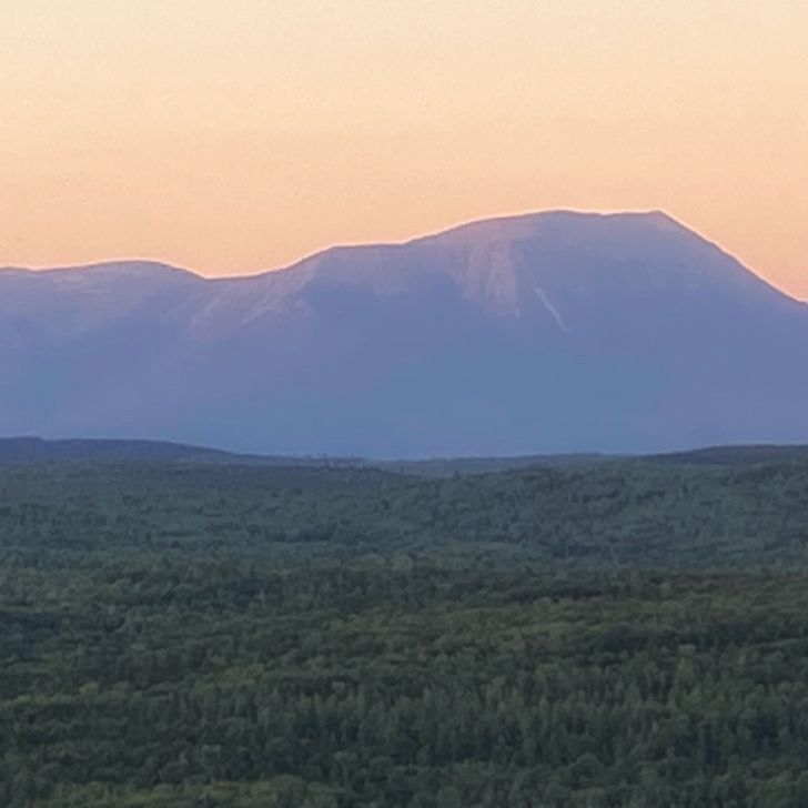
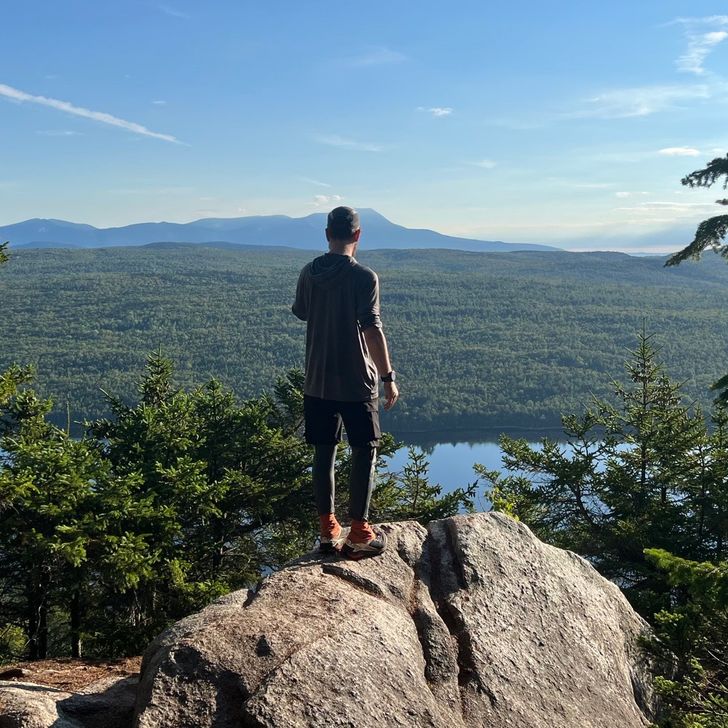
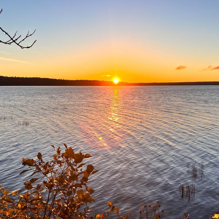
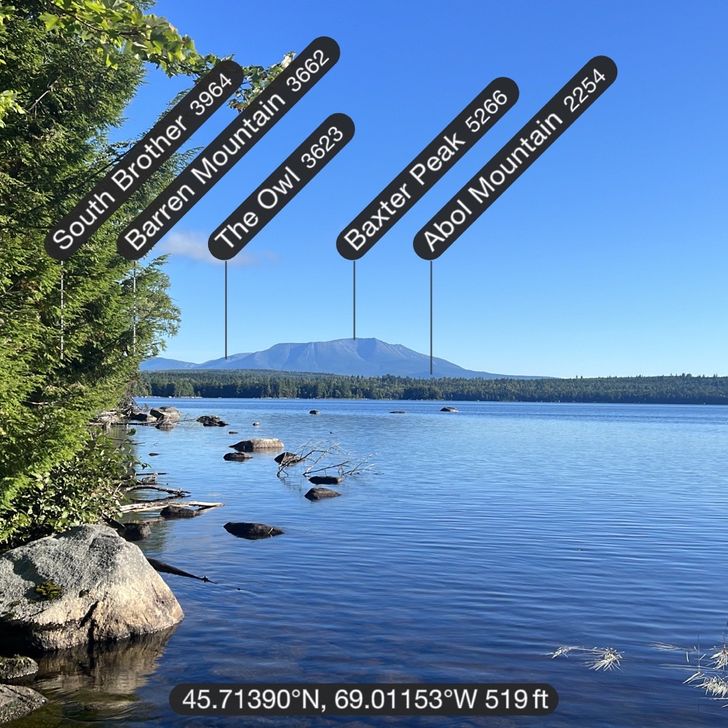
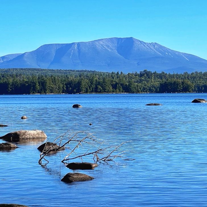
This was a spectacular day with a big surprise I wasn’t expecting. First, the sunrise over Jo-Mary Lake from Antlers Campsite was just beautiful and really started the day off right. The gusty wind calmed overnight then started picking up again in the morning. So strange how that happens. It’s like the wind went to bed as well. LOL! The hike today was by water most of the time, either a pond, lake or the Nahmakanta River. The surprise was something that was on my trail guide and I completely missed it so I didn’t expect it. Hiking along the trail, I see a sign that says “View of Katadhin.” It pointed towards a clearing to rocks going out into Pemadumcook Lake. I stepped out onto the rocks looking forward and was thinking to myself, “That’s just a hill. Where’s Katadhin?” Then I turned my head to the left and my heart stopped for a beat. Today was such a beautifully clear day that all of Katadhin was perfectly in view all the way up to the summit of Baxter Peak. I could even clearly make out “The Knife’s Edge” going off to the right, which I will NOT be hiking over. After I touch the summit, I just want to get down and go home! I don’t need another adventure of walking such a skinny rock ledge all the way down. The rest of the day, I could have floated across the trail. Seeing that view and having cell signal there to post pictures to friends was so emotional for me, I couldn’t have been happier. I’ve been hiking for 192 days and over 2,100 miles on the Appalachian Trail all the way from Georgia to see that view. And to think, in only four more days, I’ll be standing on top of that mountain touching that A-Frame summit sign and officially becoming an AT Thru-Hiker! It’s almost over. What a journey it has been. I cannot even wrap my brain around all that’s happened. I will definitely need to go thru my journal, pictures and videos just to remember it all.

Vista previa de foto del día 1
Vista previa de foto del día 2
Vista previa de foto del día 3
Vista previa de foto del día 4
Vista previa de foto del día 5
Vista previa de foto del día 6
+2
13.5 mi
34,208
1
Sep
2022

Day 191

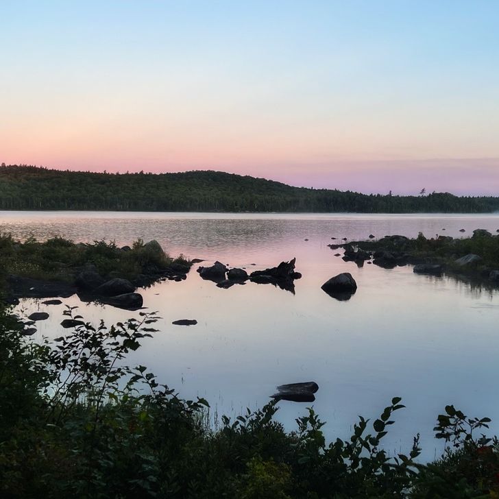
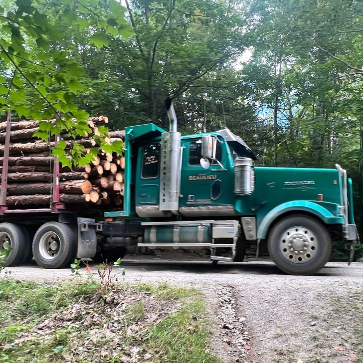
Short and easy day but one of the best! It was a wet, cold start due to all the rain last night but walking around Crawford Pond as the sun was rising gave some nice views of the pond, especially at the outlet we had to cross. There was still a nice pink color to the sky. Sparkle and I got to Jo-Mary Road pretty early so we put our wet shoes and socks out in the sun and warmed ourselves while we waited for our food resupply drop to show up at 11am. This is a logging road so we saw plenty of trucks go by… empty in one direction and full of timber going the other direction. Poet from Shaw’s Hostel showed up almost 30 minutes early and brought us both a complimentary Coke as well. My final resupply of the trip is complete! I left there with a full food bag and all my water bottles full as well. I realized then that this was the heaviest my pack will ever be from now to the end. Feels good! Only 5 days left. The elevation changes today were minuscule and only difficulty was a few tricky water crossings and some muddy sections. The rest of the day was a breeze. I didn’t get to my planned lean-to. Instead, I came across Antlers Campsite and a fellow hiker who already finished told me this is a site to check out so I did. WOW! I’d come back here anytime to camp! It’s absolutely amazing! It’s a massive area with room for a whole plattoon to camp here and it’s almost like a peninsula jutting out into Jo-Mary Lake. I was able to dry everything and also went into the water a bit to wash my socks and now they should dry while hanging on my tent’s guy lines overnight. It’s extremely windy right now so that should help air them out too. They were just nasty since they’ve been soaked multiple times with river crossings and having my sweaty feet in them the whole time. We should have an amazing view of a sunset going behind the lake and mountains as well as a sunrise tomorrow. Sunrise is getting later and later so I’m going to change my alarm from 5am to 5:30am. That should be nice too. Only 5 days to go until I plan to summit. I’m meeting quite a bit of hikers wanting to summit on Tuesday as well as we’re all trying to stay away from Labor Day. Might make it interesting. Only 12 hikers can stay at the birches. If I’m not one of the first 12 at the kiosk to get my name on the list, I may have to find other plans or camp at Abol Bridge and have a full 20 mile day to, up and down Katadhin. We’ll see. Fingers crossed and I’ll make something work.

Vista previa de foto del día 1
Vista previa de foto del día 2
Vista previa de foto del día 3
Vista previa de foto del día 4
Vista previa de foto del día 5
Vista previa de foto del día 6
+4
10.6 mi
45,775
31
Aug
2022

Day 190

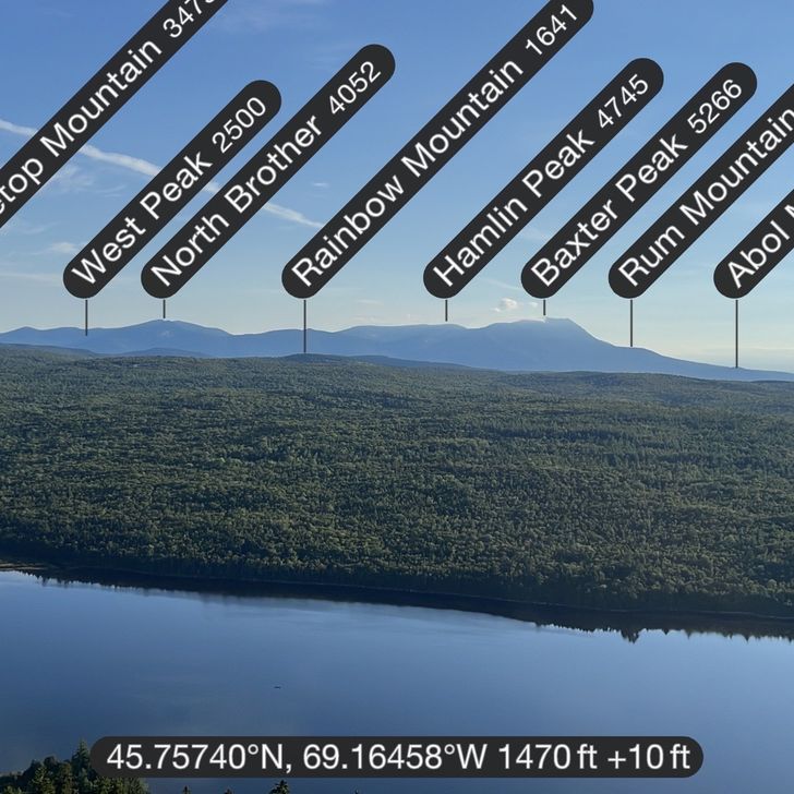
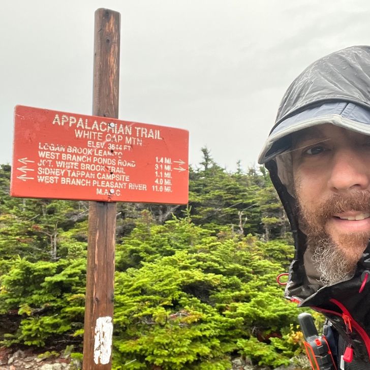
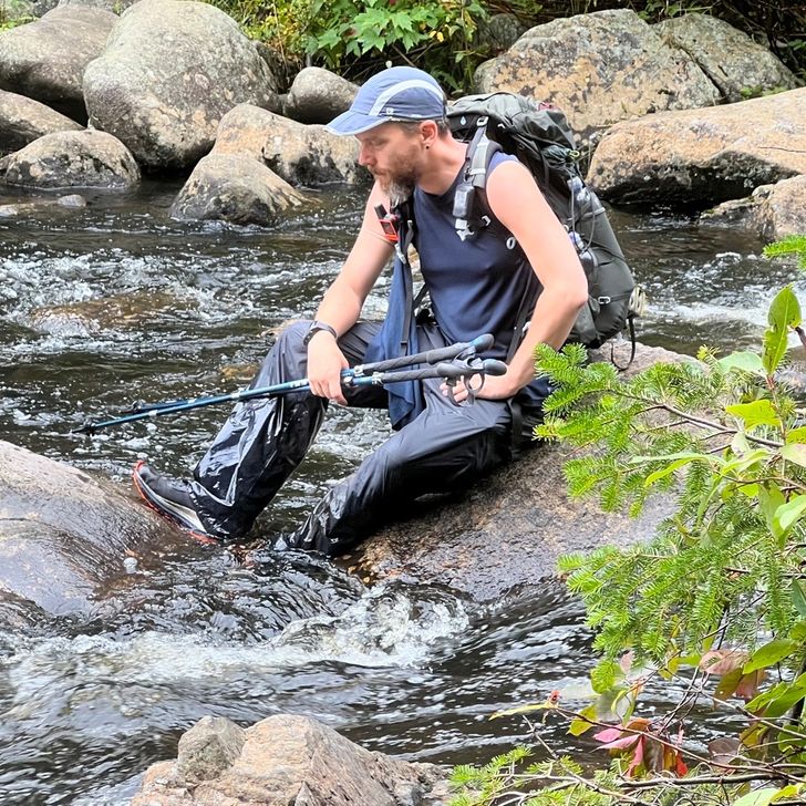
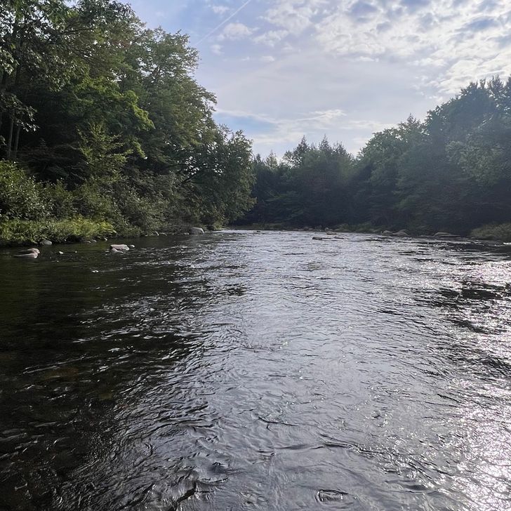
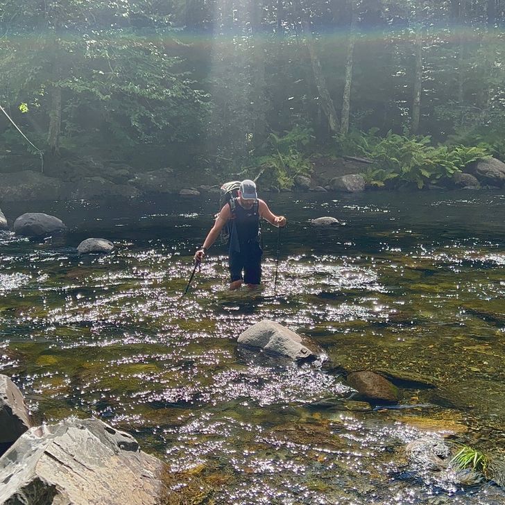
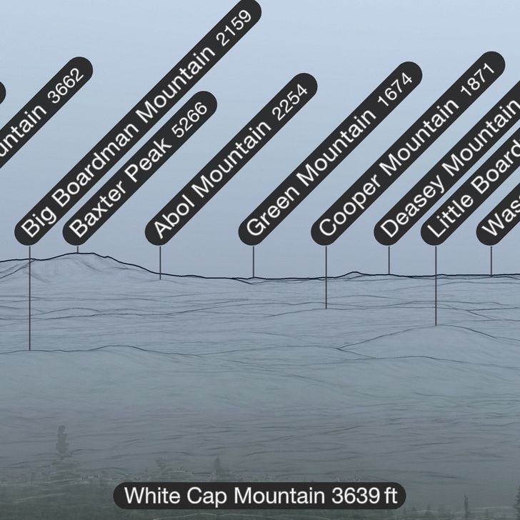
Just my luck that I would wake up on the day I would be climbing White Cap Mountain to see Katadhin in the distance (Baxter Peak is the top of Katadhin) and it would be raining like crazy! It came down so hard that the whole tentsite flooded. The bathtub floor of my tent was like a waterbed because of how much water was underneath it. I found I have a pinhole in my floor because of it. I’ll have to patch that. When we got to the top of White Cap Mountain, it was very windy, very cold, very wet and we couldn’t see a thing. Everything was gray around us. I took a picture using the PeakFinder app with it showing contour lines and names just so I could see where we were “supposed to” see Katadhin for the first time. Oh well. It will be that much more spectacular when I finally see it for my first time, I believe, at Abol Bridge after leaving the 100-mile wilderness. The rest of the day was pretty smooth, until we got to East Branch Pleasant River. That was the SKETCHIEST thing I’ve ever done! It’s the only water crossing to date that really scared me. This time, I made sure to unbuckle my pack just in case I fell in. You don’t want a heavy pack pulling you under. Better to lose everything in your pack than to lose yourself. The force of the water was strong enough to almost sweep my legs out from under me and the water was so dark, I couldn’t see the rocks underneath. There were big sections where I’d put my trekking pole to see if there was a rock there and the pole would go all the way down almost underwater. What I did was always keep three points of contact only moving either one pole or one foot at a time. I would move my foot to “feel” the slippery rocks and move it around until I could jam my foot between rocks where I could stay steady. Then I’d move the over foot. It was slow going and halfway across when I could sit on a big boulder in the middle, I just rested there to catch my breath and to center myself. Sparkle was just as shaken over the ordeal and she had gone first. She took pics and video of my crossing and I was so fed up with it, I almost told her to not record me. Glad I didn’t because it’s a crazy thing to remember. Hope I NEVER have to do something that crazy again. I’m sure it was worse than usual due to the heavy rain that morning. We made it to Crawford Pond and as we were hiking along the east side, the sky got really dark and the wind started gusting nonstop. We could sense it was going to start pouring again. We found a stealth site off from the side of the trail that’s a good spot for one tent but we quickly set up both of ours in that single spot just as the sky opened up again. With soaking wet shoes, socks, pack, and a tent still wet and covered in dirt and pine needles, we hunkered down just to get soaked again. I really hope I get to dry out my tent tomorrow. We didn’t make it as far as we planned today but we’ll still be able to make it to Jo-Mary Road in time for our resupply drop-off. We may make tomorrow a short day as well so we can find a sunny spot, tie my bear line to a tree to make a clothes line and hang everything to dry. We don’t have the luxury of getting to town to dry out before moving on. After leaving this wilderness, we’ll be in Baxter State Park and ready to climb to the finish line.

Vista previa de foto del día 1
Vista previa de foto del día 2
Vista previa de foto del día 3
Vista previa de foto del día 4
Vista previa de foto del día 5
Vista previa de foto del día 6
+2
14.4 mi
55,532
30
Aug
2022

Day 189

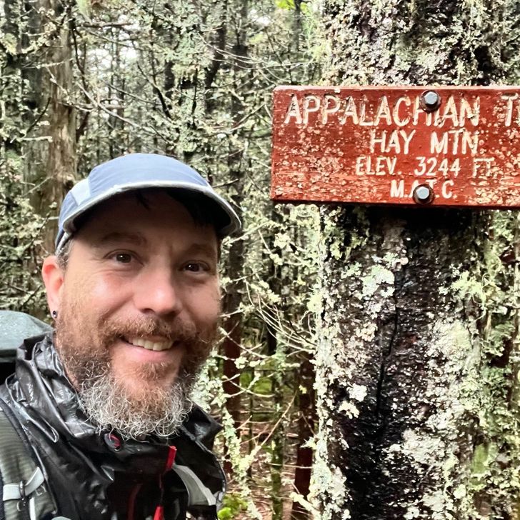
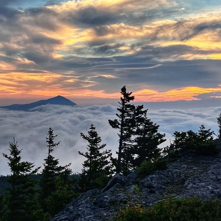
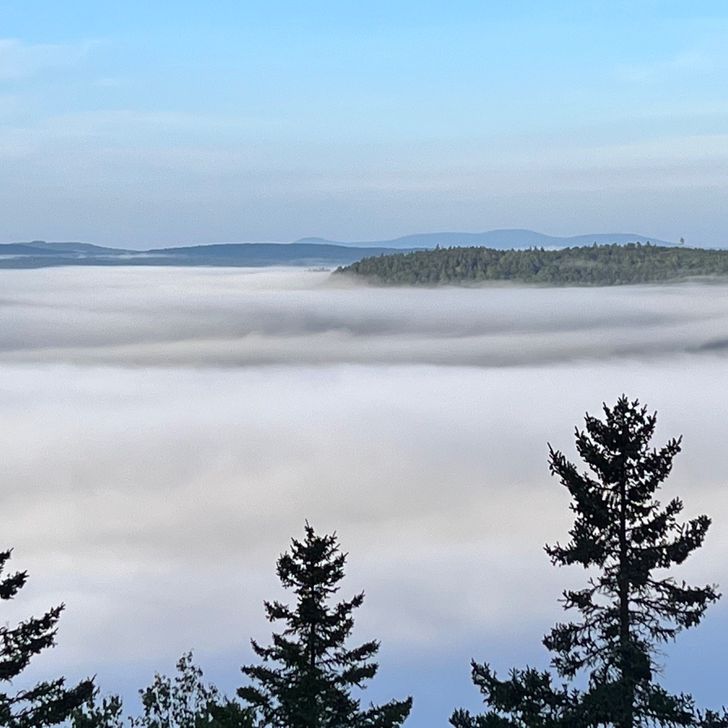
Still sticking to my original schedule. I’m concerned about getting into The Birches, which is the “long distance hiker shelter” in Baxter State Park. First come, first served. Only 12 hikers per night allowed. Once it fills up, that’s it. The Indian tribe is having rituals on the mountain during Labor Day and reservations for all the campgrounds and parking permits are full. I’m still hoping to get a spot in The Birches on Labor Day so I can climb on Tuesday, the 6th after Labor Day when it shouldn’t be as crowded. Unfortunately, I’ve heard there’s a trail family of 8 hikers wanting to get to The Birches that day. They’d take up 2/3 of the shelter just themselves. It kind of pisses me off, really. A large trail family like that should have tried to get campsite reservations. Splitting the $35 campsite cost amongst 8 people is much cheaper than them taking over The Birches, having to pay $10 each and possibly making individual hikers forced to $35 campsites. Sigh! No reason worrying about it right now but I’m still hoping to summit on Tuesday, the 6th. Even if I have to camp outside the park and make it a 20 mile hiking day to do it. The #1 thing I’ve hated about this hike has been the logistics and Baxter State Park is about the worst it could get. I mean, when they have ridge runners out here having us take a picture of a freakin’ flowchart showing us our options if we cannot get into The Birches, that’s just ridiculous. So today started with the most amazing view of mountains in the distance, the sun peaking through clouds and lower clouds covering the land below. It made the early morning hike before sunrise so worth it. Once we entered the Gulf Hagas area owned by the National Park Service and includes the gorges known as “The Grand Canyons of Maine”, a National Natural Landmark, we came to West Branch Pleasant River. This is the largest river crossing we’ll have on this hike. It wasn’t bad and the water was refreshingly cold. I even scooped some to filter and fill my bottles. We didn’t see the “Grand Canyon of Maine” as all the gorges would require taking long blue trails and I’m not about extra miles this close to the end. Pushing on, I made it over Gulf Hagas Mountain and stopped at Sidney Tappan Campsite. The spring near here is some of the cleanest, clearest, coldest water I’ve had in a long time. Just yummy! Tomorrow, I climb West Peak, Hay Mountain and White Cap Mountain. That’s the exciting one because when we reach the other side and start our climb down we should see, as long as the sky is clear, our first sight of Mount Katadhin. It’s so exciting to think I’ll finally see the finish line after all this time. From where I am right now, it’s only 76.7 miles to the end. It’s bitter sweet! I’m so ready to go home (shoot, to see my new home) but at the same time it’s sad to be finishing one of the most freeing experiences of my life.

Vista previa de foto del día 1
Vista previa de foto del día 2
Vista previa de foto del día 3
Vista previa de foto del día 4
Vista previa de foto del día 5
Vista previa de foto del día 6
+5
11.8 mi
49,608
29
Aug
2022

Day 188

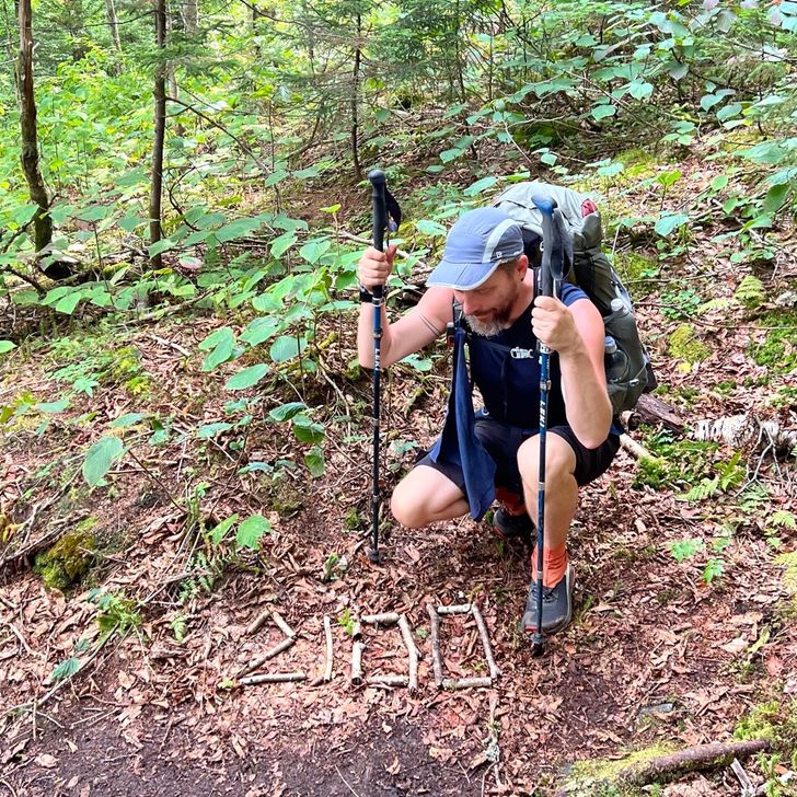
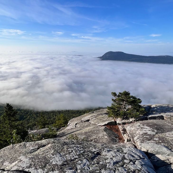
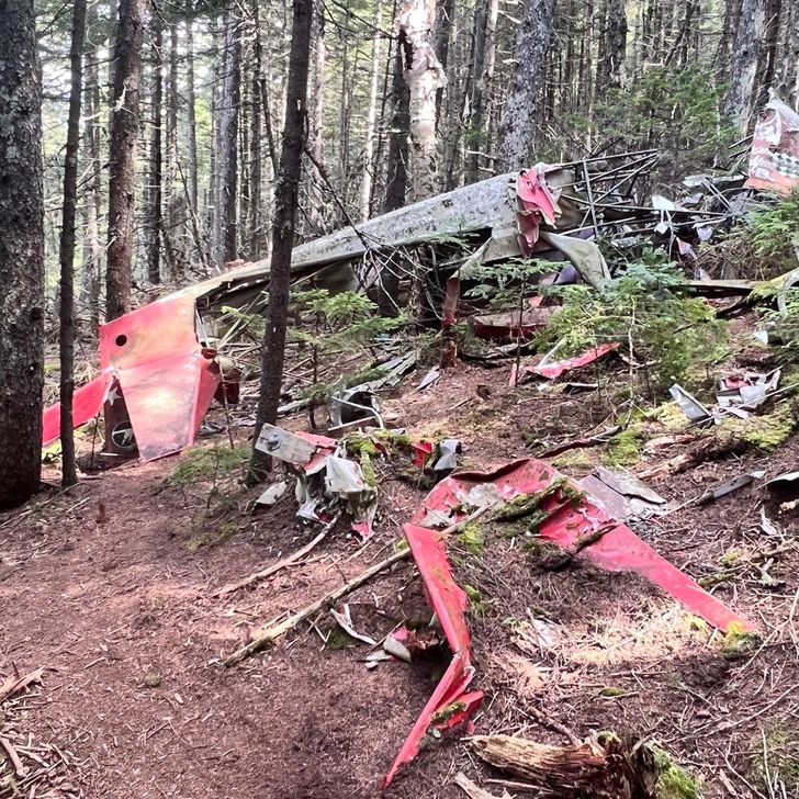
Shortly after starting this morning, I came across sticks spelling out “100 togo”. That’s just crazy! It’s been a long time coming but I also cannot believe it’s almost over. I’ve entered the Chairback mountains and on the first climb of the day, the views were spectacular with low level clouds below me. The trail has been changed around “Fourth Mountain” in the Chairbacks to take you by a plane crash that happened in the 80s, or so we were told by the lady at the ATC center in Monson. She said we can appreciate the site guilt free as the father and son that crashed apparently camped and then hiked out the next day leaving the wreckage there. No one was hurt. The awesome thing today was hitting the 2,100 mile mark. That’s the last 100 mile marker I’ll hit. At that point, I only had 94.3 miles to go to touch that sign on Katadhin. I completed Third Mountain and Columbus Mountain, which is Second Mountain for the Chairbacks. I’m almost up the main mountain called Chairback Mountain but didn’t reach the summit yet. I’ll do that tomorrow morning. I’m at Chairback Gap Lean-to in my tent. Tomorrow will take me through part of the Gulf Hagas, known as “The Grand Canyon of Maine. There are a lot of blue trails to take you around this amazing area and see lots of waterfalls but I don’t be doing any side trails this time. Maybe I’ll come back sometime since I live in this State now. For now, I’m sticking to the AT and pushing on.

Vista previa de foto del día 1
Vista previa de foto del día 2
Vista previa de foto del día 3
Vista previa de foto del día 4
Vista previa de foto del día 5
12.0 mi
34,444
28
Aug
2022

Day 187

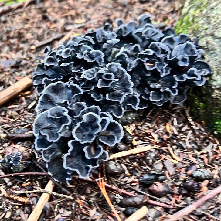
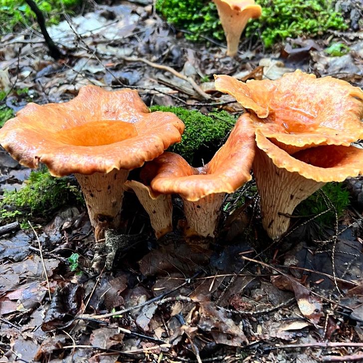
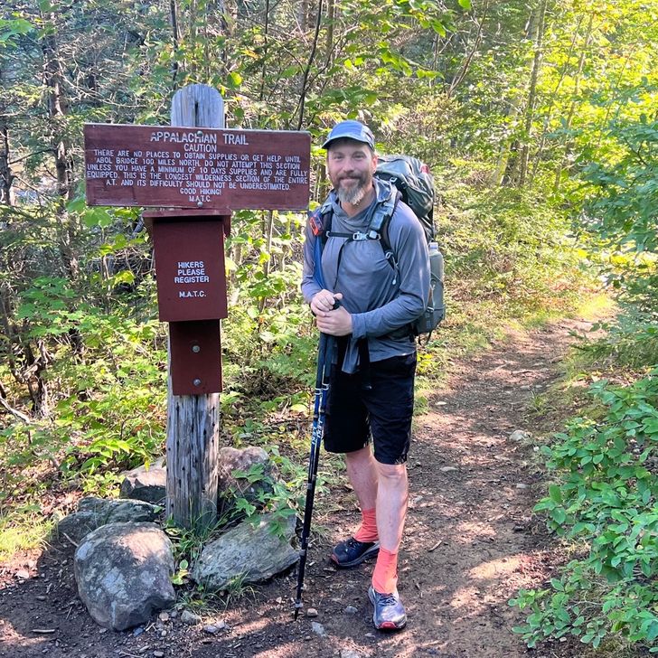
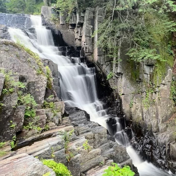
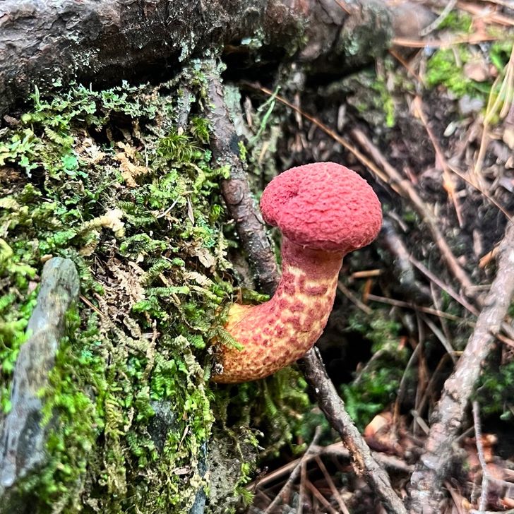
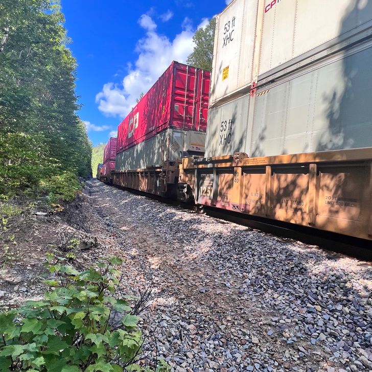
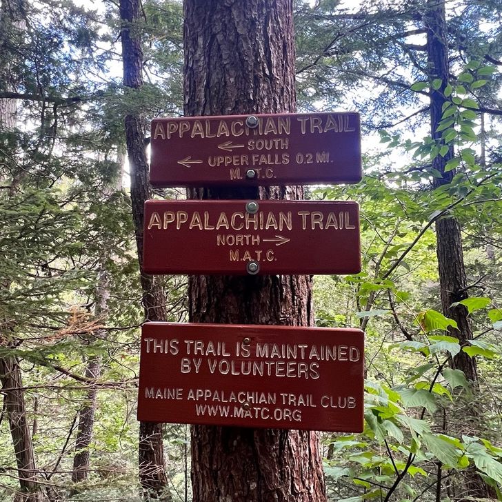
Yesterday was a nice zero at Shaw’s Hostel. Their breakfast is fantastic! Poet and Hippy Chick are just amazing hosts. I love the outfitter and resupply store there. I was able to get everything ready for the 100-mile wilderness and have an “inflight refueling” drop-off scheduled. I resupplied for the entire rest of this journey except for what I’ll eat on the final summit day. Since I’ll be taking my time so I can let Labor Day weekend pass first, I carried roughly 4.5 days of food in my food bag and have 4.5 days of food in the resupply bucket that they’ll hand deliver to me at 11am on the 1st. I’ll meet them at Jo-Mary Road and they’re bringing me a complimentary chilled Coke as well and will take my garbage. It’s pricy but well worth it and I split the cost with Sparkle since we put our resupply together to have it dropped off together. As for today, it was our first day into the 100-mile wilderness. It hasn’t sunk in that I’m about to finish. We keep talking about things we just did for the last time: our last shower, possibly the last flushing toilet, last hostel stay, last zero, last shuttle… In just a few days we’ll get our first view of Katadhin in the distance from the top of White Cap Mountsin. It’s going to be an amazing thing to see our finish line after over 6 months of hiking. Anyway, today we got to see multiple waterfalls, interesting mushrooms, ford a couple rivers again and deal with a lot of rocks and roots. Oh, we also crossed railroad tracks after waiting for the trail that was there to pass. That was kinda cool too. We have a few more days of some steep climbs but by the time we get our resupply on the 1st, the rest of the trail all the way to Katadhin is going to be smooth sailing. I cannot wait. It’s going to be tough to do low miles on such easy terrain but we want to stick to our plan to get to the finish line after Labor Day as they’re telling us the park will be packed during that weekend and Monday so we’ll just take our time, enjoy our last few days hiking and enjoy the camp spots next to ponds and waterfalls. We are camped next to Long Pond Stream tonight, which we had to ford and I am loving the white noise of the water rushing over the rocks. I’ll sleep well tonight. We stopped at mile marker 2,094.1 so that leaves 100.2 miles to go. Crazy! We are just a short .2 miles away from the 100 mile mark until we touch the sign on top of Katadhin. Just amazing! I still remember reaching the fire tower in North Carolina and seeing the 100 mile mark and being amazed I made it that far. Now I only have 100 miles to go on this 2,194.3 mile journey. It’s hard to wrap my head around it. Okay, off to bed and get ready to push on more tomorrow.

Vista previa de foto del día 1
Vista previa de foto del día 2
Vista previa de foto del día 3
Vista previa de foto del día 4
Vista previa de foto del día 5
Vista previa de foto del día 6
+1
14.7 mi
41,549

Acerca de esta travesía

Appalachian Trail
Distancia total2153.2 mi
Días totales191
Entradas de diario193
Distancia media/día12.9 mi
Día más largo22.2 mi
Puntos de paso0

Mapa

Explora el mapa completo de la travesía