Want to document and share your hike with friends and family?
Our App is Available for iOS!
Download it now!
Day 189
Day 189
Last Call Aug 30th, 2022
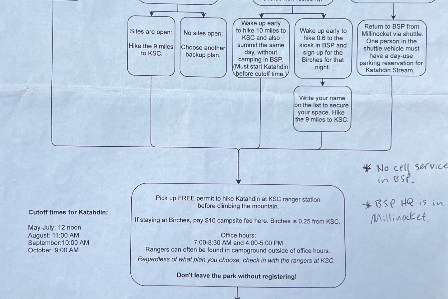
Still sticking to my original schedule. I’m concerned about getting into The Birches, which is the “long distance hiker shelter” in Baxter State Park. First come, first served. Only 12 hikers per night allowed. Once it fills up, that’s it. The Indian tribe is having rituals on the mountain during Labor Day and reservations for all the campgrounds and parking permits are full. I’m still hoping to get a spot in The Birches on Labor Day so I can climb on Tuesday, the 6th after Labor Day when it shouldn’t be as crowded. Unfortunately, I’ve heard there’s a trail family of 8 hikers wanting to get to The Birches that day. They’d take up 2/3 of the shelter just themselves. It kind of pisses me off, really. A large trail family like that should have tried to get campsite reservations. Splitting the $35 campsite cost amongst 8 people is much cheaper than them taking over The Birches, having to pay $10 each and possibly making individual hikers forced to $35 campsites. Sigh! No reason worrying about it right now but I’m still hoping to summit on Tuesday, the 6th. Even if I have to camp outside the park and make it a 20 mile hiking day to do it. The #1 thing I’ve hated about this hike has been the logistics and Baxter State Park is about the worst it could get. I mean, when they have ridge runners out here having us take a picture of a freakin’ flowchart showing us our options if we cannot get into The Birches, that’s just ridiculous.
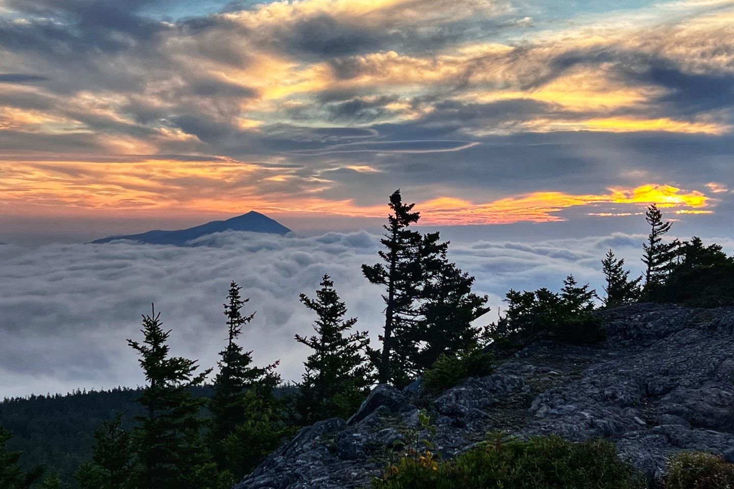
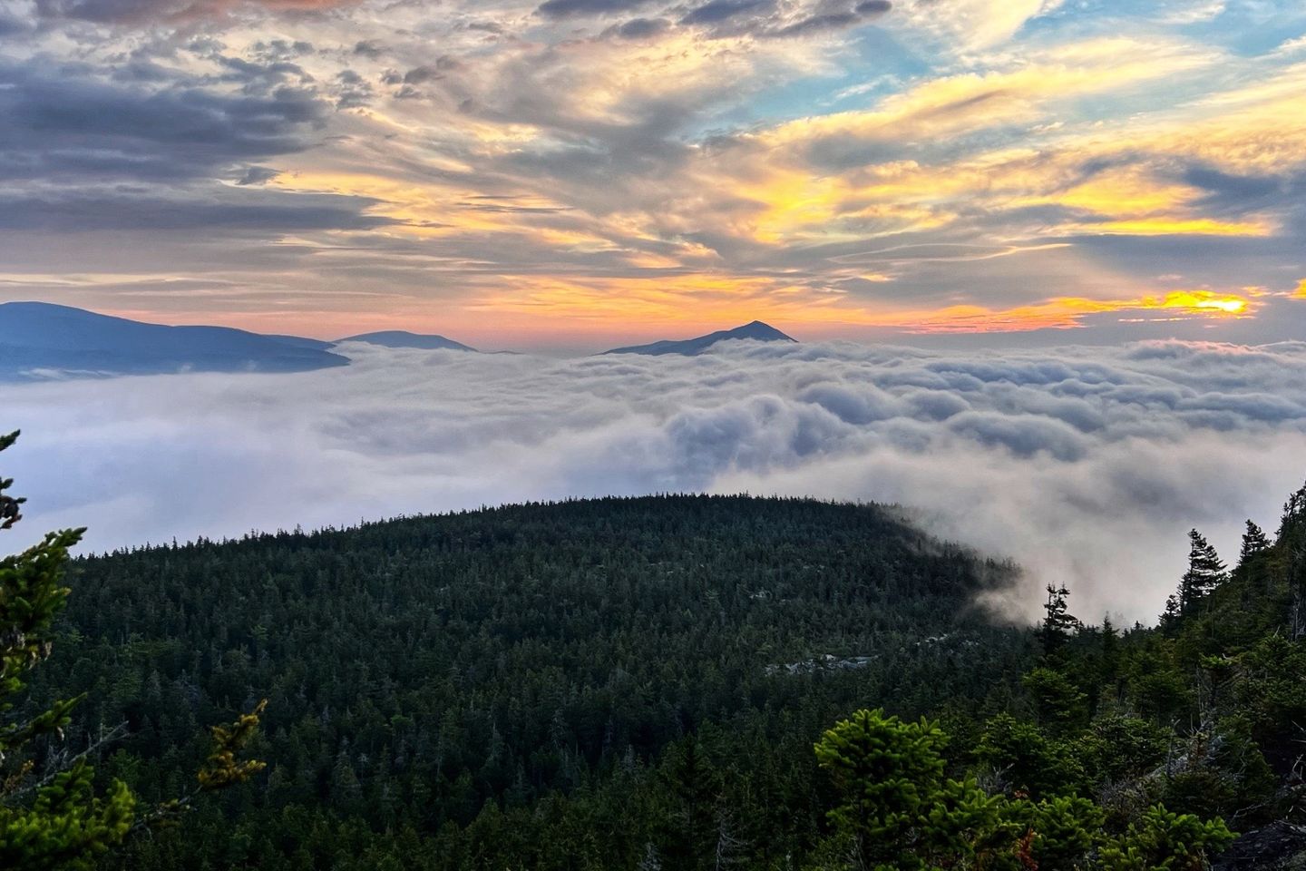
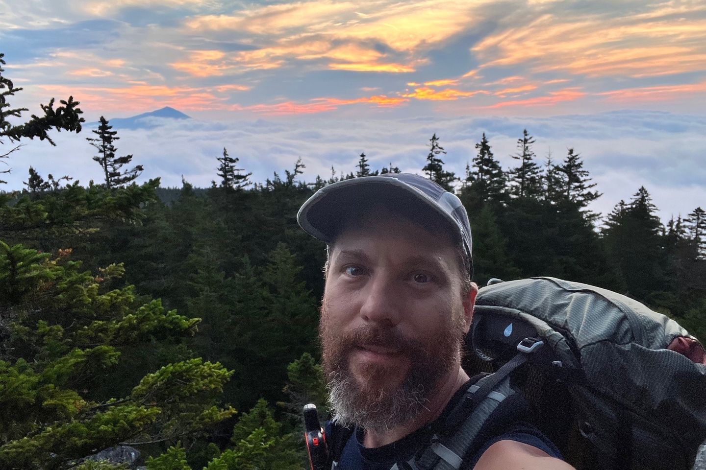
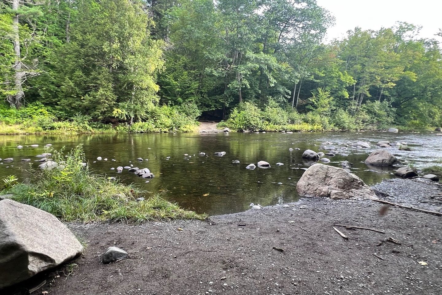
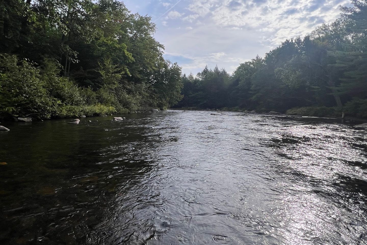
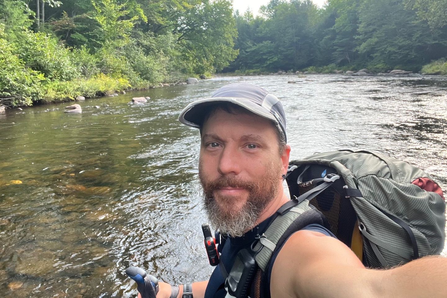
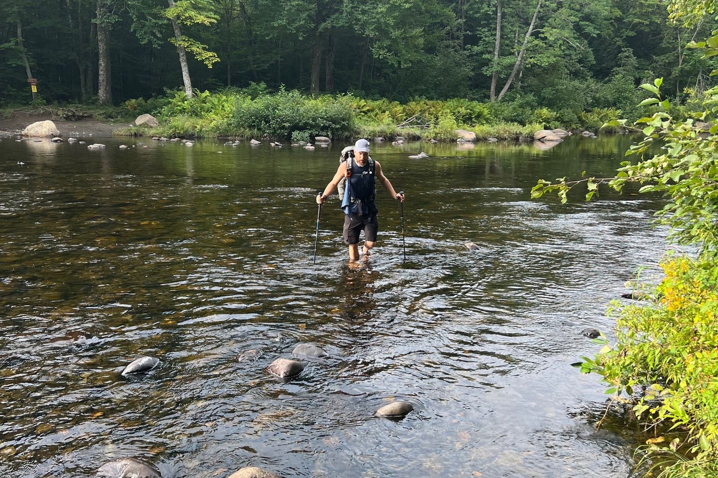
So today started with the most amazing view of mountains in the distance, the sun peaking through clouds and lower clouds covering the land below. It made the early morning hike before sunrise so worth it. Once we entered the Gulf Hagas area owned by the National Park Service and includes the gorges known as “The Grand Canyons of Maine”, a National Natural Landmark, we came to West Branch Pleasant River. This is the largest river crossing we’ll have on this hike. It wasn’t bad and the water was refreshingly cold. I even scooped some to filter and fill my bottles. We didn’t see the “Grand Canyon of Maine” as all the gorges would require taking long blue trails and I’m not about extra miles this close to the end. Pushing on, I made it over Gulf Hagas Mountain and stopped at Sidney Tappan Campsite. The spring near here is some of the cleanest, clearest, coldest water I’ve had in a long time. Just yummy! Tomorrow, I climb West Peak, Hay Mountain and White Cap Mountain. That’s the exciting one because when we reach the other side and start our climb down we should see, as long as the sky is clear, our first sight of Mount Katadhin. It’s so exciting to think I’ll finally see the finish line after all this time. From where I am right now, it’s only 76.7 miles to the end. It’s bitter sweet! I’m so ready to go home (shoot, to see my new home) but at the same time it’s sad to be finishing one of the most freeing experiences of my life.
Previous: Aug 29th, 2022
Next: Aug 31st, 2022
