Route memory
Remember where the day happened
Keep each update tied to the places, distances, pins, photos, camps, and pass crossings that made the day specific.
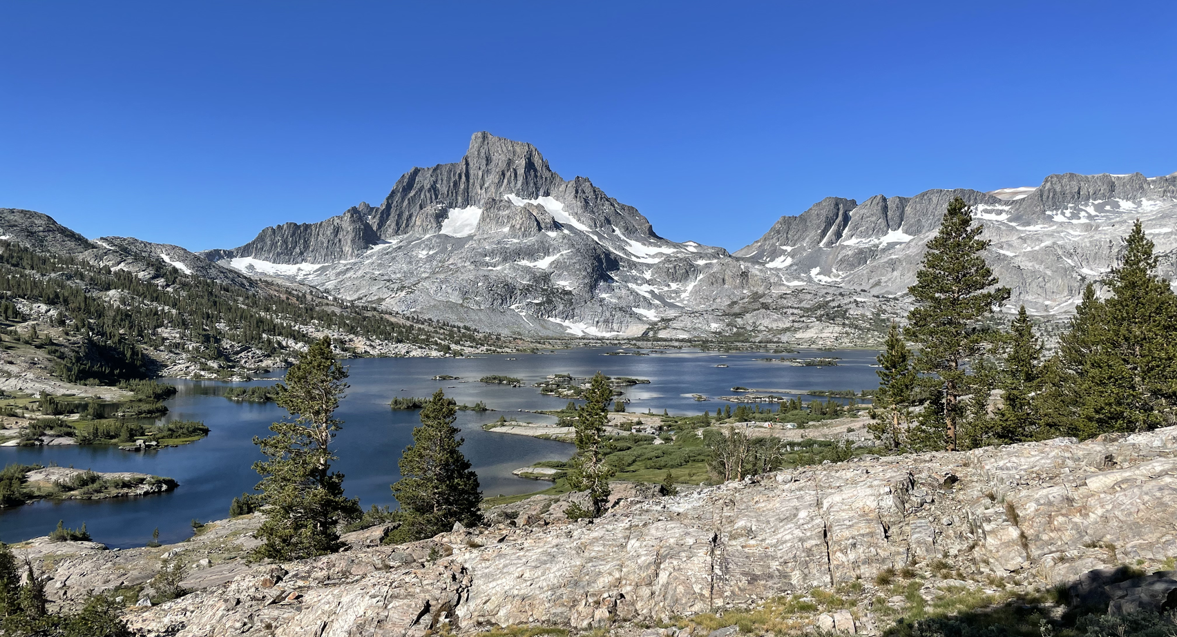
HikerFeed for the John Muir Trail
Record your route, daily miles, passes, camps, photos, pins, and reflections from Yosemite to Whitney in one shareable expedition log.
From Yosemite to Whitney
HikerFeed is not a replacement for permits, maps, guide apps, or official wilderness rules. It is the place for the hike itself: the route you walked, the passes you crossed, the camps you remember, and the people following from home.
Track
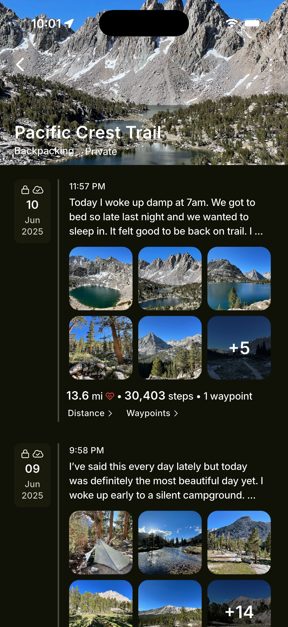
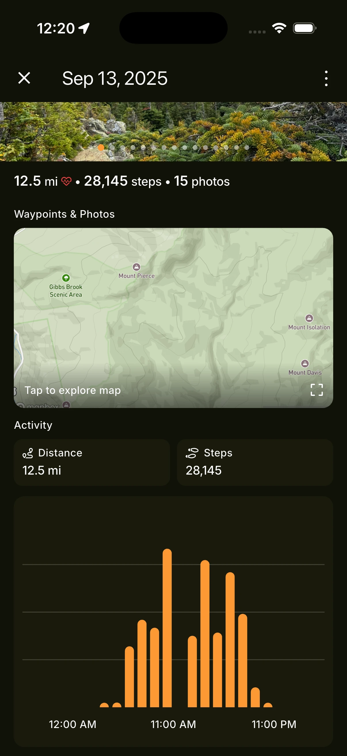
Save the route, distance, steps, camps, passes, photos, pins, and notes for each day while the Sierra is still fresh.
Share
Share publicly or privately so people back home can follow the hike without piecing together texts, photo dumps, and workout posts.
Relive
When the miles are done, your climbs, lakes, storms, camps, resupply stops, comments, and reflections are still connected.
Built for serious trail days
Route memory
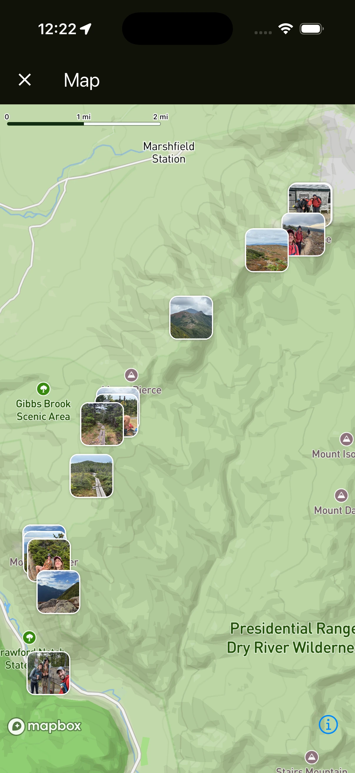
Keep each update tied to the places, distances, pins, photos, camps, and pass crossings that made the day specific.
Trail journal
A few lines at camp can carry more truth than a polished recap later. Keep those reflections with the route.
Follower feed
Let supporters see where you are and what the day felt like without turning a remote wilderness trip into constant posting.
JMT hikers
The JMT is a high-commitment trip whether you hike the whole line or a major Sierra section. HikerFeed keeps each day connected to the larger story.
Permit holders
Turn a hard-won JMT permit into a day-by-day archive from the first Yosemite miles through the final Whitney push.
Thru-hikers
Track the full line with mileage, route context, photos, pins, and reflections that make the expedition readable later.
Section hikers
Use the same trail log for shorter JMT sections, high-route weekends, and repeat Sierra trips worth remembering.
Plan with official resources
For permits, bear canister rules, trail conditions, resupply policies, and wilderness regulations, verify details with the National Park Service, PCTA, Forest Service, and current local sources. Use HikerFeed as the route recorder, journal, photo map, and sharing layer beside those tools.
FAQ
No. Use dedicated navigation tools and official sources for route finding, permits, closures, regulations, and wilderness safety. HikerFeed is for recording, journaling, sharing, and remembering the hike itself.
Yes. HikerFeed works for full thru-hikes, section hikes, side trips, and shorter Sierra backpacking routes. Each update can become part of one trail timeline.
Yes. You can share one public or private hike page so followers can see updates without needing the same apps, group chats, or social platforms you use.
Yes. Save photos, pins, stats, route context, and reflections with the day where they happened, so alpine lakes, hard passes, camps, and small moments stay organized.
Yes. You can keep the hike private, share with selected followers, or make updates public when that fits your trip.
Yes. The same route, photos, pins, notes, comments, and daily entries become a John Muir Trail archive you can revisit long after the finish.
John Muir Trail season
Save the route, passes, camps, photos, pins, comments, and reflections before the details blur together.