Want to document and share your hike with friends and family?
Our App is Available for iOS!
Download it now!
Day 99 (August 2, 2021)
Day 99 (August 2, 2021)
Shawn Bryan Aug 2nd, 2021
Rawlins Econo Lodge to 1603.6 to 1620.6 (18.5 miles)
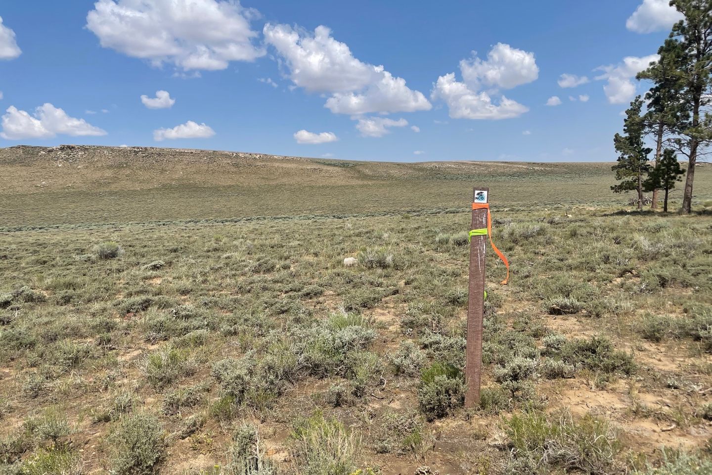
Back on the trail today, into the Great Divide Basin. This section is somewhat notorious on the CDT for several reasons. First, it is wide open sagebrush and desert like. Trees are rare. Second, it is mostly dry. You get spoiled in Colorado (NOBO) with not having to think a lot about water. Now we are back to planning longer water carries like back in New Mexico, and may have to deal with less-than-desirable water sources. Third, Wyoming can be windy and you are exposed to any thunderstorms. Last, it is one of the longer sections without resupply, about 120 miles. However, the trail is mostly dirt roads or two-track Jeep trails and has much less vertical on average. Because of this, some hikers will complete a 24 hour challenge, where they see how many miles they can complete in one 24 hour period while in the basin. We are not going to do that. Our plan is based mainly on available water sources to avoid dry camping where we can.
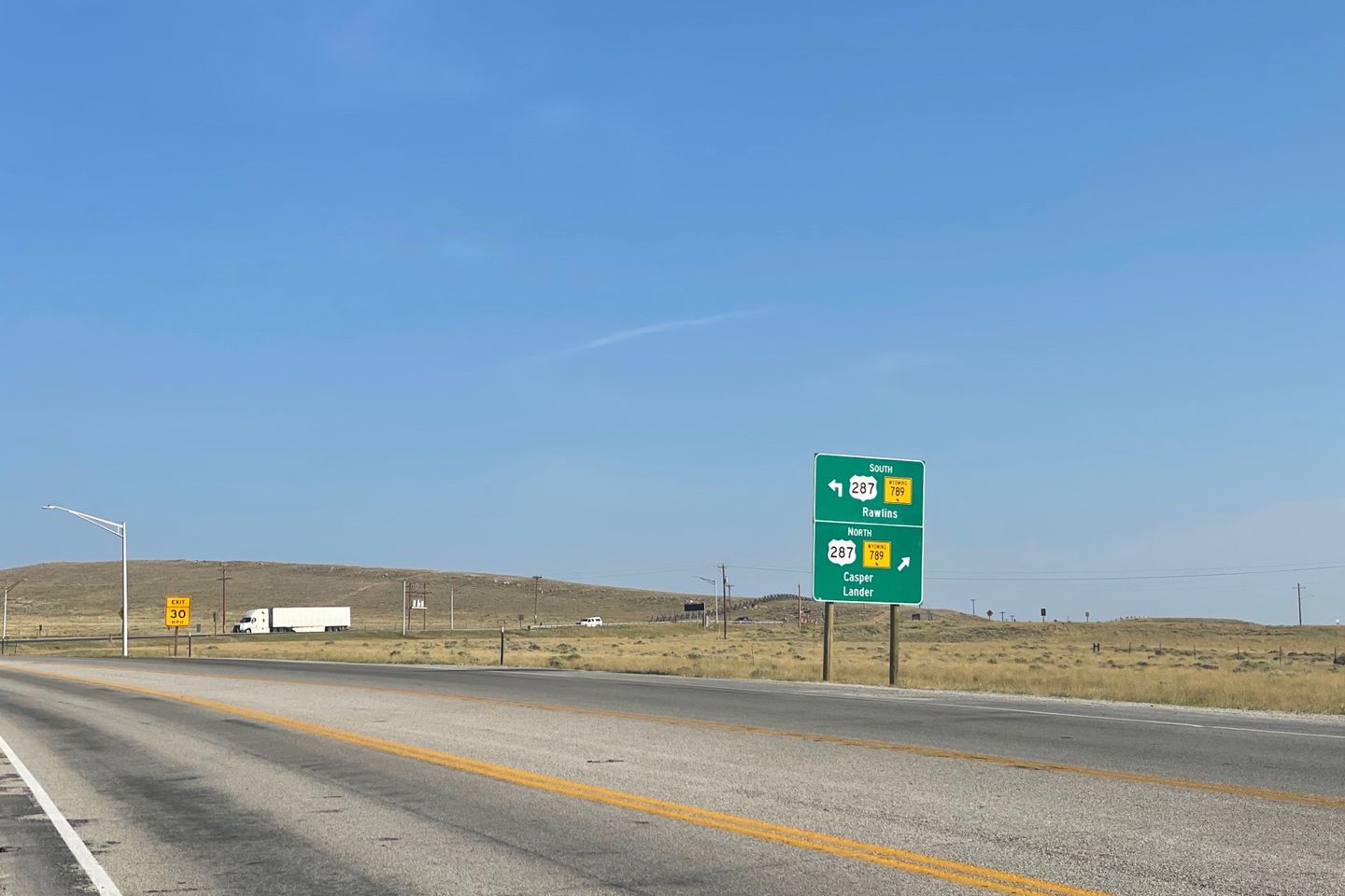
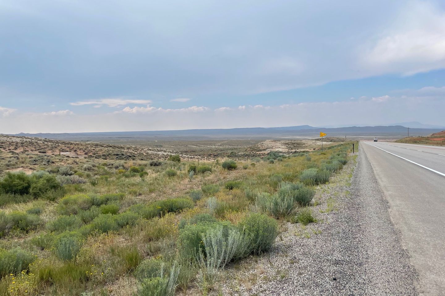
I got hiking first since I am concerned how my shin will do. The first 15 miles of the hike once outside of town follow alongside a highway, but not right on it. Then the trail turns away and runs mostly northwest across the basin.
My shin felt far better than several days ago, but was still sore. But I hiked at a decent pace. Our goal today was a spot near a BLM campground about 3 miles after the trail turns away from the highway. There is one water source along the way. The first night will be a dry camp, which requires having enough water to reach the next source and for supper and breakfast.
Overall the hike went well for me. The weather was clear and cooler than normal for most of the day. The trail was far enough from the highway that you couldn’t see it at times. I was careful to stop and stretch more often, and take ibuprofen occasionally.
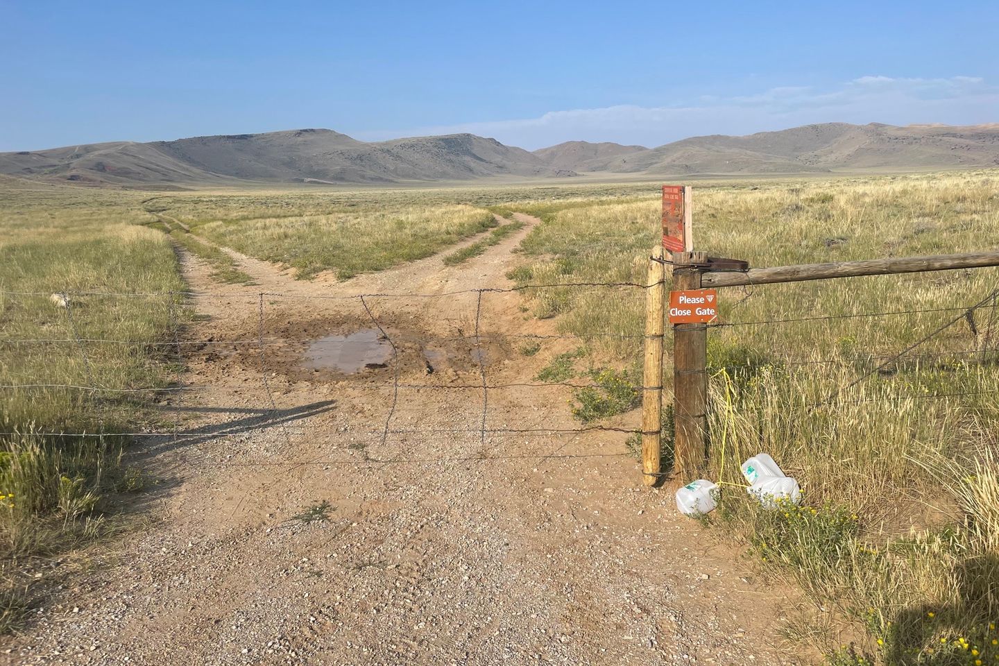
The CDT was back to some of its old tricks. It would be along a road for a short time, then take off cross country without a sign. But if you looked carefully across the sagebrush, you might see a small marker in the distance. Many of the markers had been blown down. At one point our map showed a gate at a fence line. But there was no gate. Pack off and under the fence. Things like this don’t even bother me any more; it’s just the CDT. I looked quickly both directions to ensure there wasn’t a gate nearby and then just went under. Pack on, and off again.
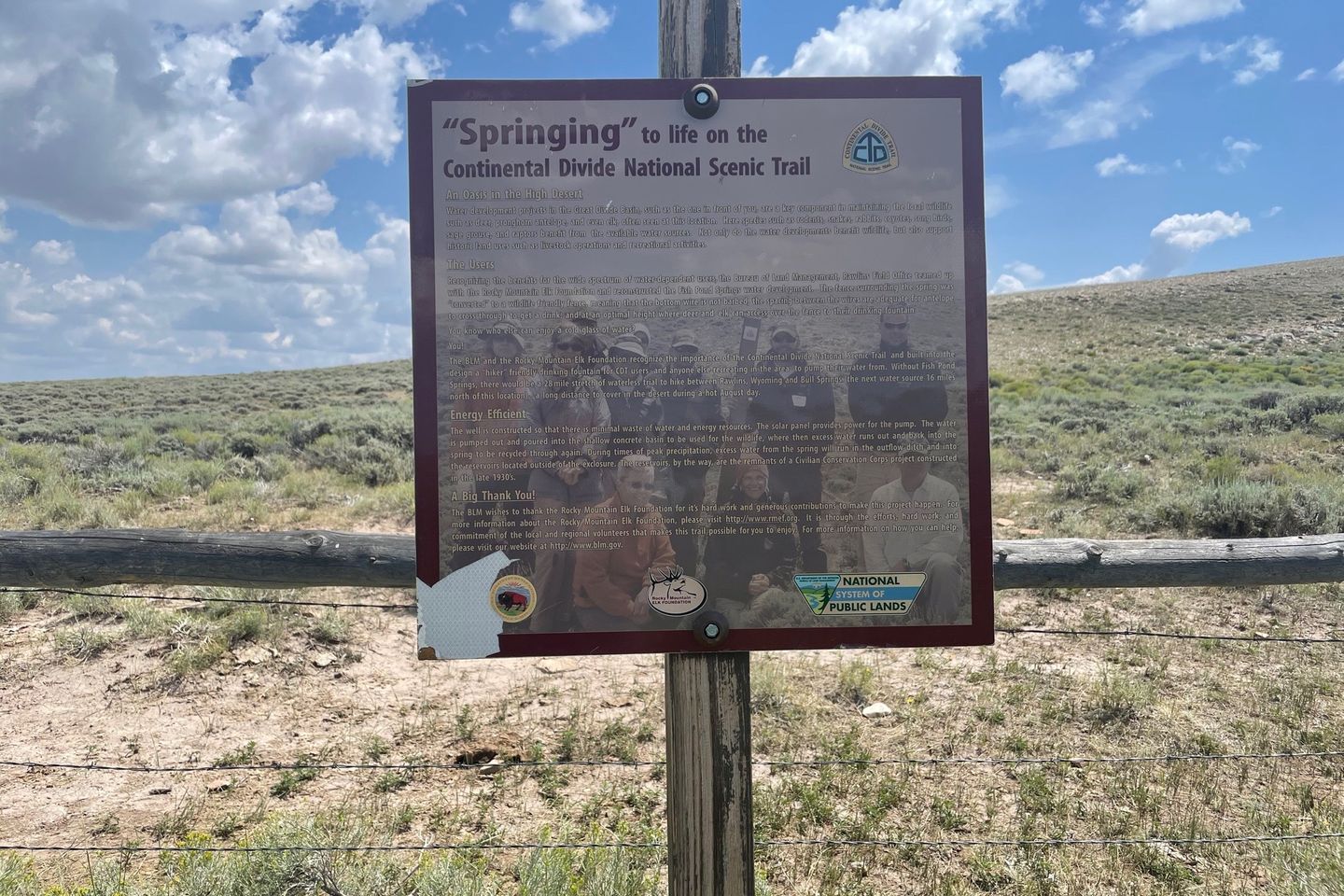
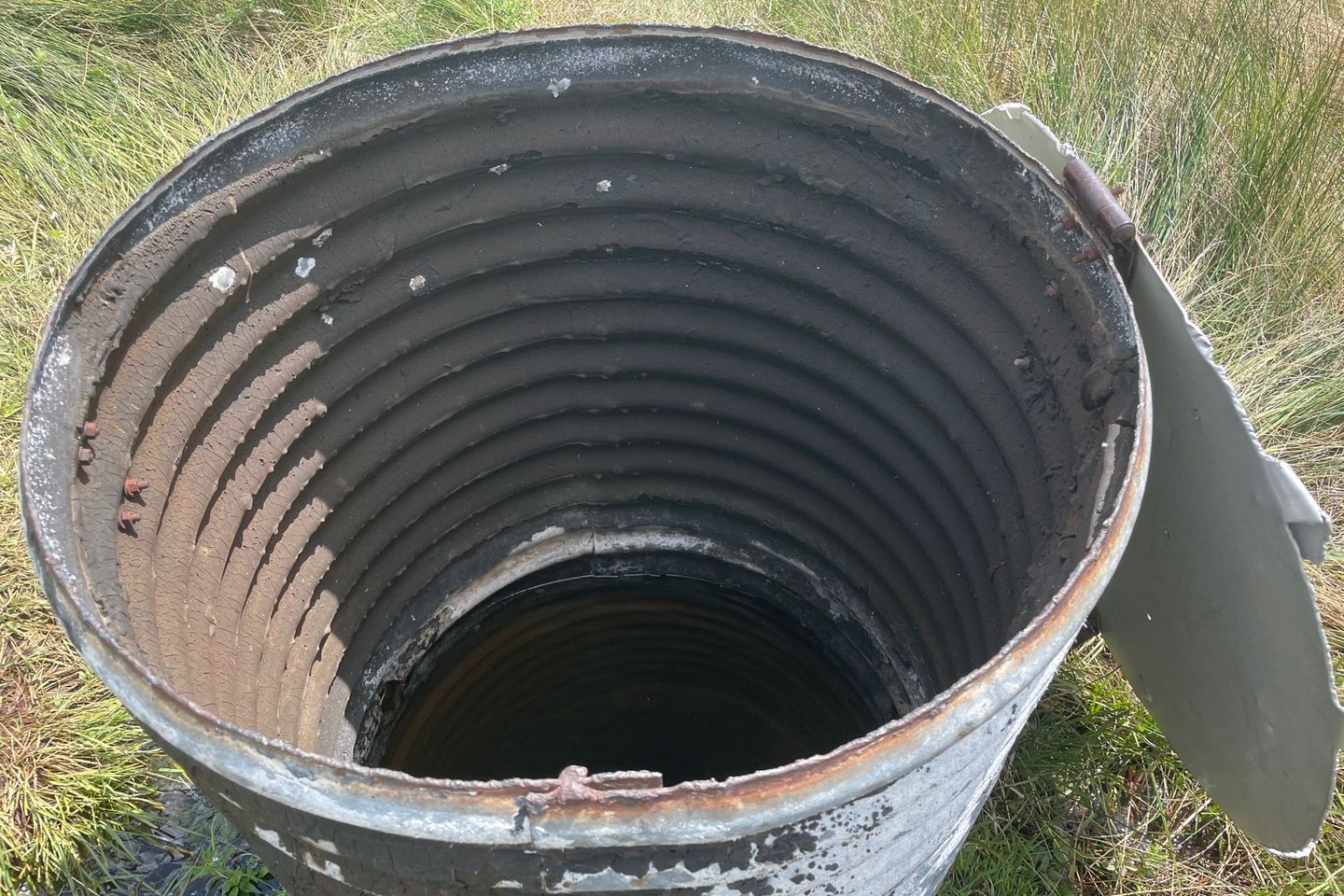
The water source was called Fish Pond, which was enclosed by a wooden fence to keep cows away from the spring itself, though water flows from the area to a pond for cows. Within the enclosure was a piece of metal culvert set vertically with a lid that collects some of the water and prevents bugs and debris from fouling the water. Good, fresh, cool water. It is 16 miles to the next water source, so I collected 3 liters for that, plus 1.5 liters for camp. Additionally, it is always a good idea to ‘camel up’ which simply means drinking some water while at the water source. I normally drink about a liter, spread out over 30 minutes. It was time for lunch anyway.
The trail followed the highway more closely as it became constricted by narrowing terrain and descended to where the trail departs the highway for good. We had reports that the first several miles of trail at that point were not marked at all and was in bad shape. We elected to go a little further on the highway and follow a road that intersects the CDT slightly past the bad section.
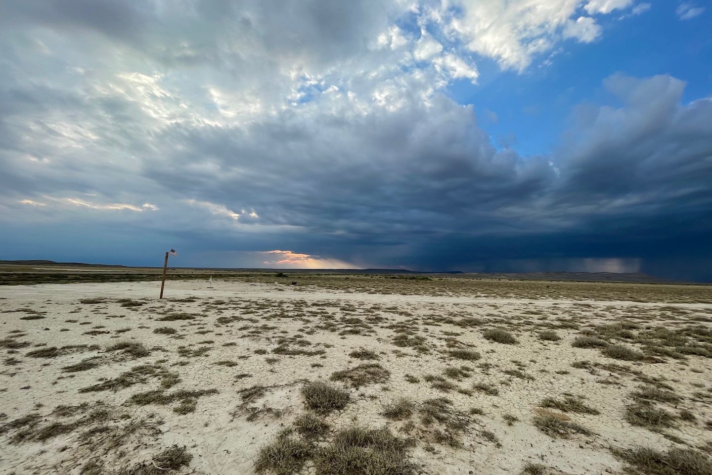
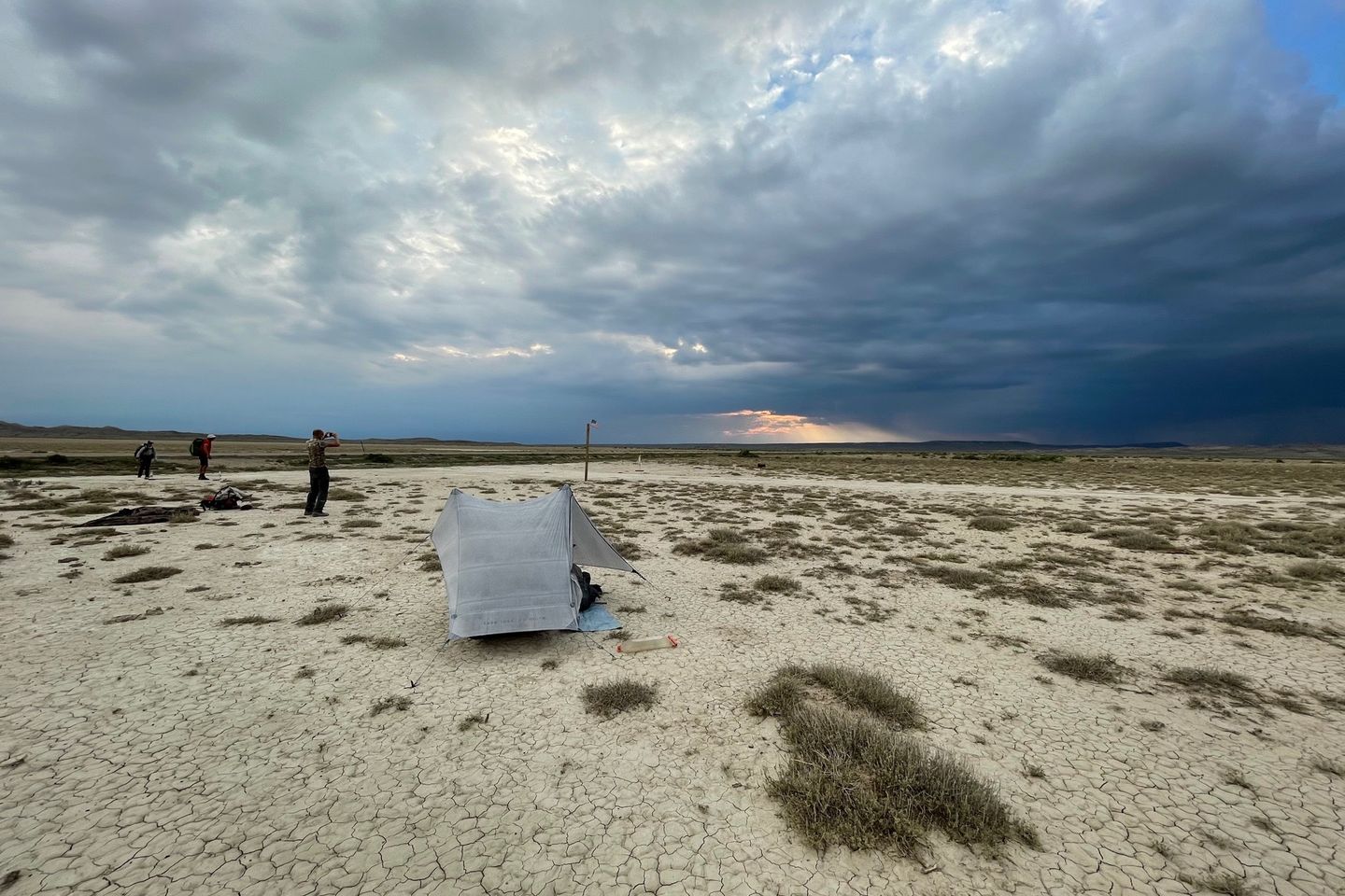
With the trail descending into a wide open area, I could see our campsite area for an hour-and-a-half before I got there. During this last part, thunderstorms could be seen developing north, west, and south of me, but it remained sunny where I was. I reached our goal before 5:00. Just Jim and Pockets had waited for a shop to open in Rawlins before departing and Feral had relaxed a little longer in town before starting. I was unaware of this, so didn’t set up camp, waiting for them in case we decided to go further. While waiting, the man who was supporting his wife in the CDT drove up and stopped to talk. His trail name is T, and hers is J. She had selected a campsite about 1.5 miles past ours and would be by shortly.
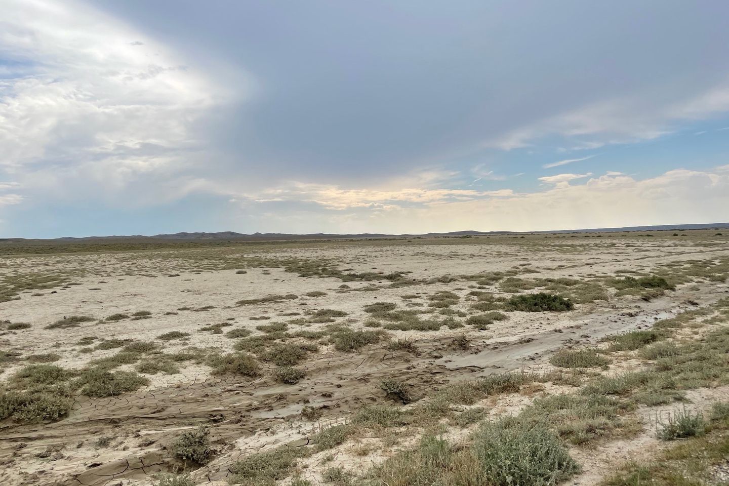
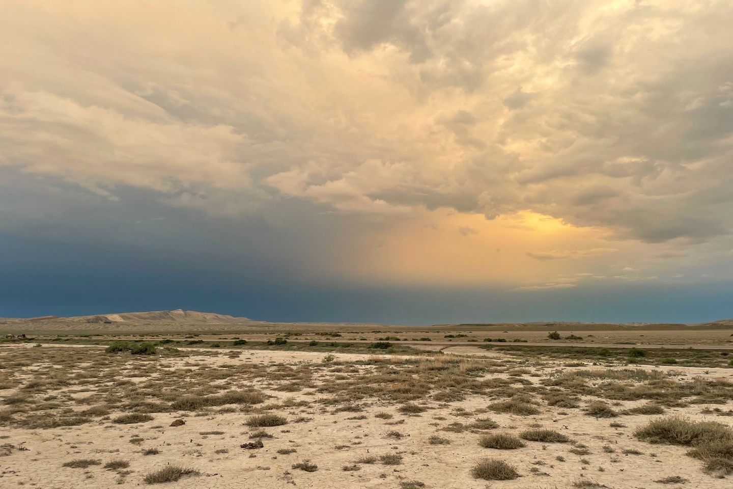
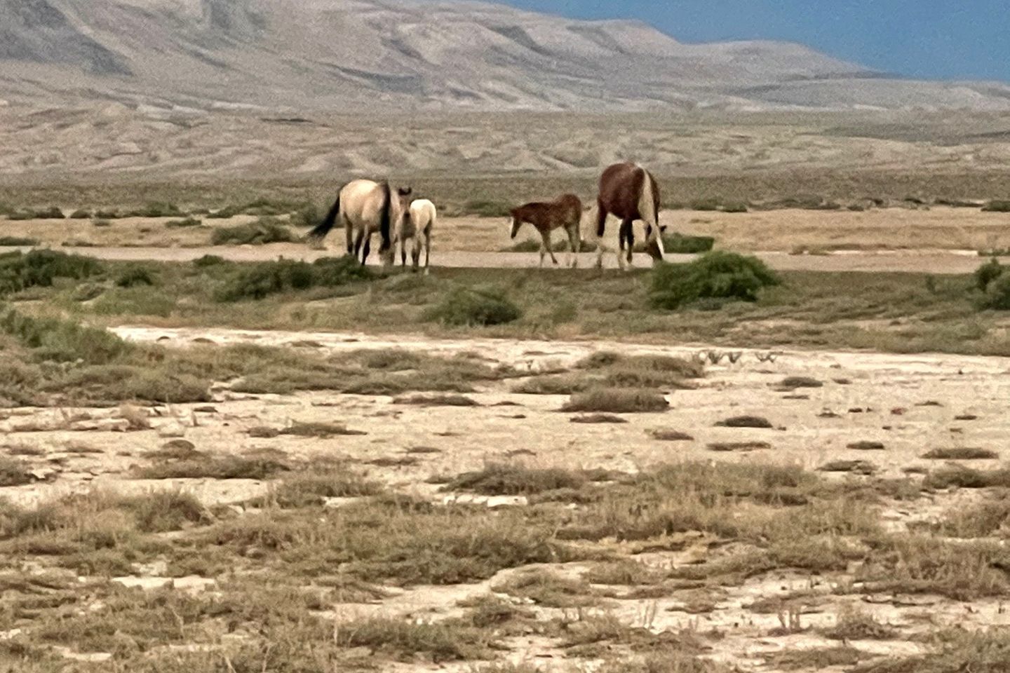
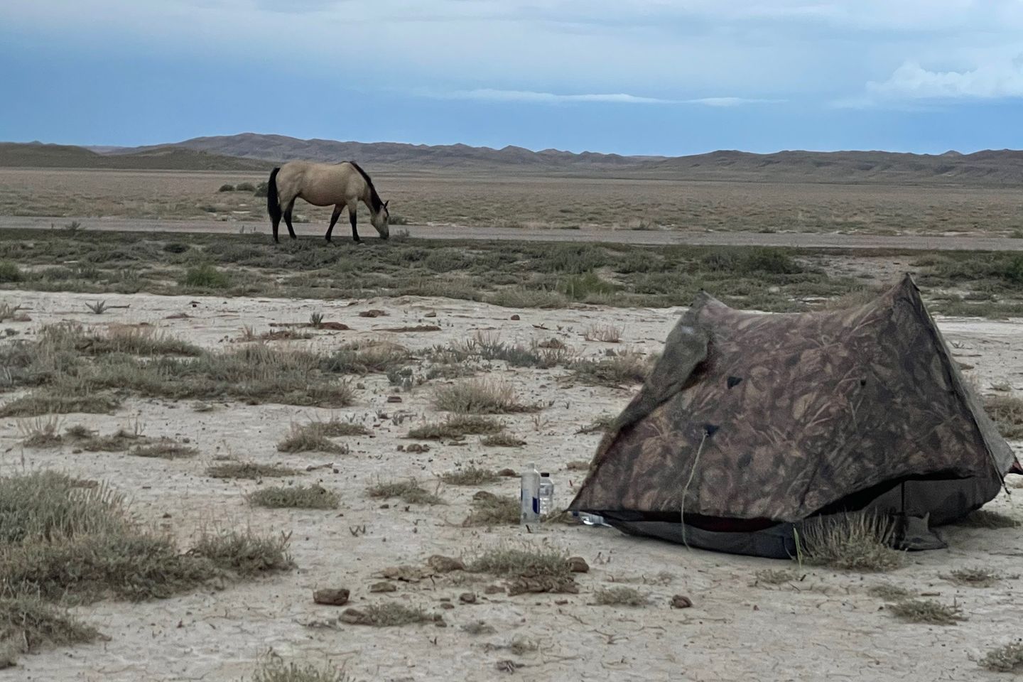
When the gang all arrived, we decided to camp at our selected spot, since there was open ground, though it was a crusty clay mixture. Nearby storm clouds were dissipating and created some good photo opportunities. Then a group of wild horses almost walked through our camp. This is something I had been wanting to see, and Pockets was ecstatic to see them. An overall good day of hiking.
Previous: Aug 1st, 2021
Next: Aug 3rd, 2021
