Want to document and share your hike with friends and family?
Our App is Available for iOS!
Download it now!
Day 95 (July 29, 2021)
Day 95 (July 29, 2021)
Shawn Bryan Jul 29th, 2021
21.7 miles on CR 500 and Highway 71 (to near last water cache)
First I need to talk about last night. Wind — lots of it, and some rain. It appears we were between two thunderstorms at once and got the winds from both, but luckily not much rain. But the winds were intense, gusty, and lasted a long time. That meant lots of flapping noise from my tent, and little sleep. But I was fortunate. Feral’s tent collapsed at one point. Once he got it back up, he spent several hours holding on to his poles to keep it from going down again. Not a pleasant evening.
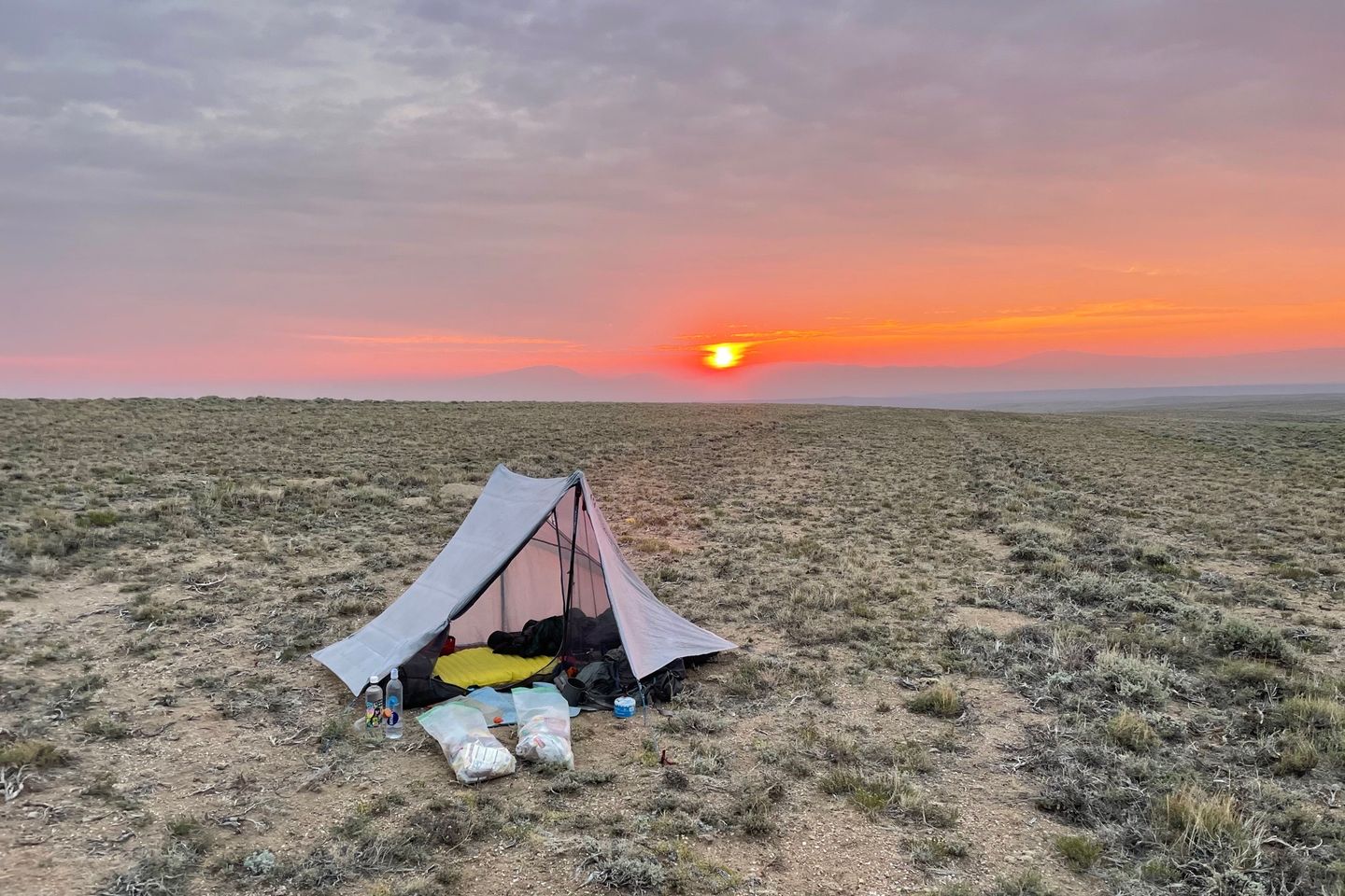
The left over clouds and smoke from California wildfires at least led to a beautiful sunrise.
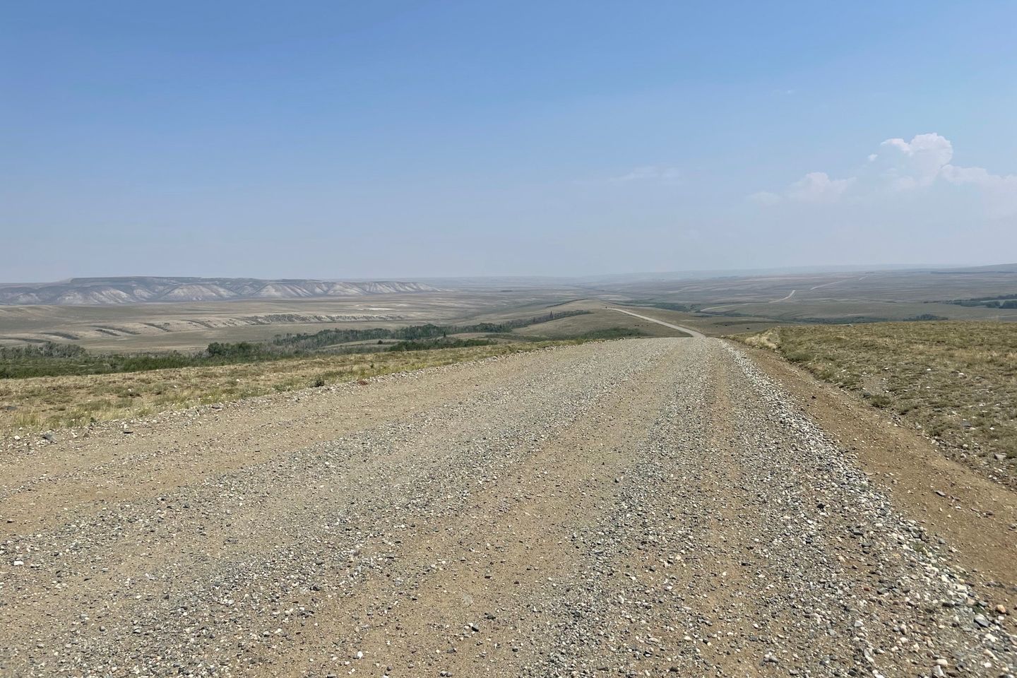
The rest of the day was rather boring. It was hot and sunny with very little breeze. Trees were rare. Even though it was a dirt road, it was hard packed with the occasional logging truck and ranch vehicle going by. It was nearly like walking a hard surface road. And I felt it. As the day wore on my shins began to hurt, especially my left shin. I stretched during breaks to keep ‘shin splints’ at bay.
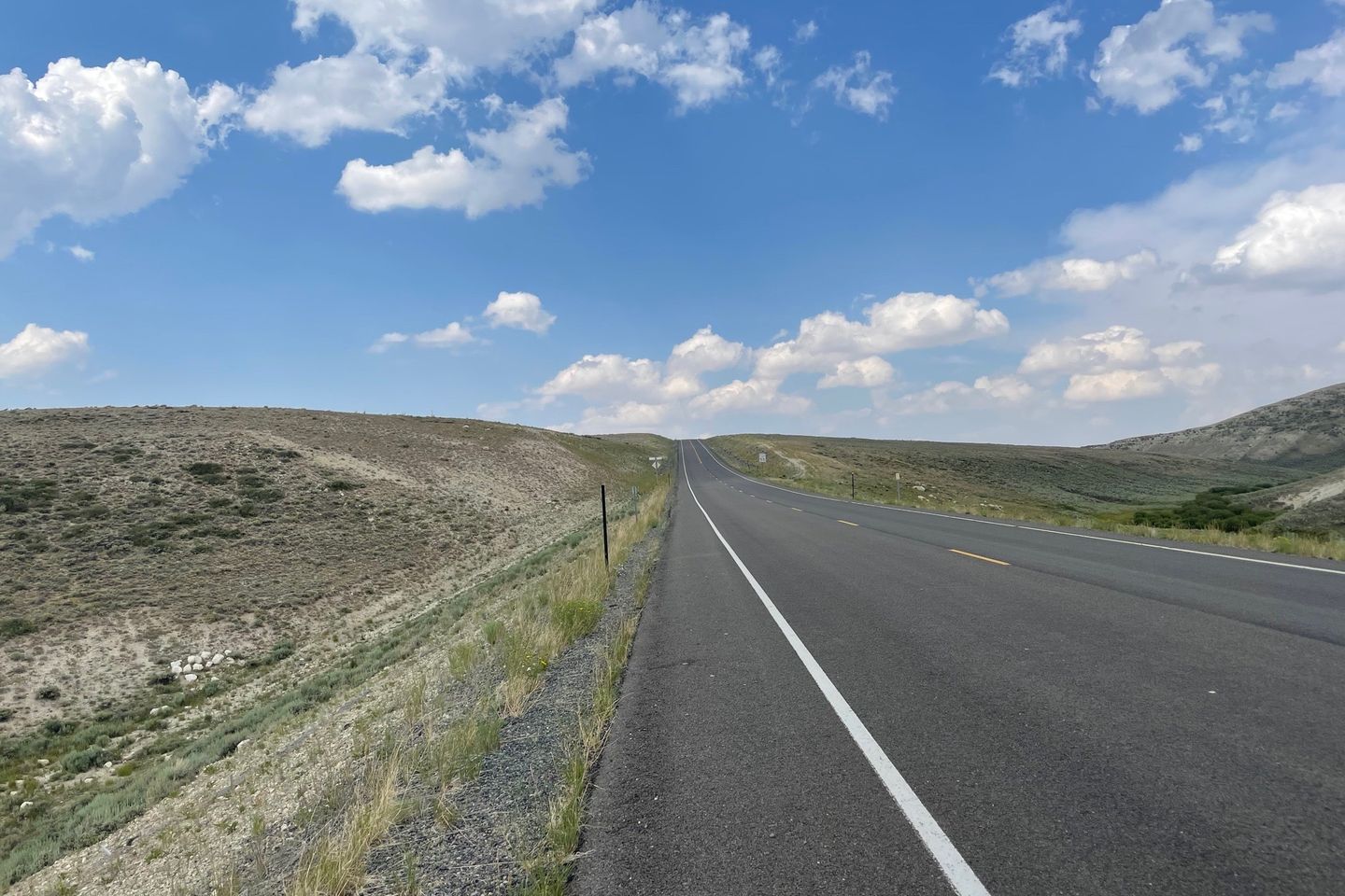
We reached the end of the dirt road late afternoon after finding water cache number three. Feral and I set a goal to reach at least the fourth cache before camping. It was down highway 71. Up until several years ago, this road was dirt and was the CDT. It was then paved and the CDT was moved further to the west in some hills. So, we still were not on the CDT, but close. The paved road did not help my left shin at all.
We found the last water cache as planned and had a little more daylight to hike. But hiking some more would put us on private land for a while. But the area near the cache was BLM land. However, we were in a small, steep sided valley as well. Feral thought the top of the west ridge looked flat, so he hiked up to check it out. Sure enough, there were multiple possible campsites up there. The bad news - it is the top of a ridge line and exposed, and we saw thunderstorms in the distance. Cross our fingers...
Previous: Jul 28th, 2021
Next: Jul 30th, 2021


