Want to document and share your hike with friends and family?
Our App is Available for iOS!
Download it now!
Day 92 (July 26, 2021)
Day 92 (July 26, 2021)
Shawn Bryan Jul 26th, 2021
Near Coyote Hill to Riverside. (14.0 miles)
Another road walk. But completely our fault/plan. The goal was Encampment, WY, which sits next to Riverside. These two small towns are used as a resupply point by some CDT hikers who have to hitch there from Battle Pass. However, due to our road walk plan to get around the fire closure north of Steamboat Springs we needed to hike back up to a Battle Pass to the CDT to keep continuous footsteps on our journey to Canada.
Not much to report on today’s road walk. Sunny and warm today with a relatively short distance to cover. We needed to resupply in one of the towns to set up our hike back up to Battle Pass then to Rawlins, so we planned on spending the night somewhere in or near town.
Wildlife: lots of pronghorn and a few more white pelicans at a wetland area. The pelicans seem out of place in this relatively dry, sagebrush area, but Carbon County is one of their roosting places. Pretty neat. Unfortunately we had a negative wildlife encounter. Just Jim found a severely injured pronghorn in the ditch by the road near Riverside. Pockets was able to call Wyoming Game and Fish to report it . Sad.
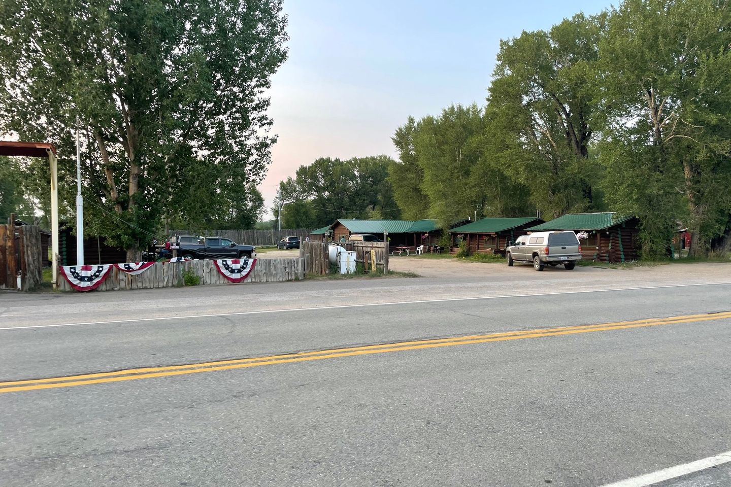
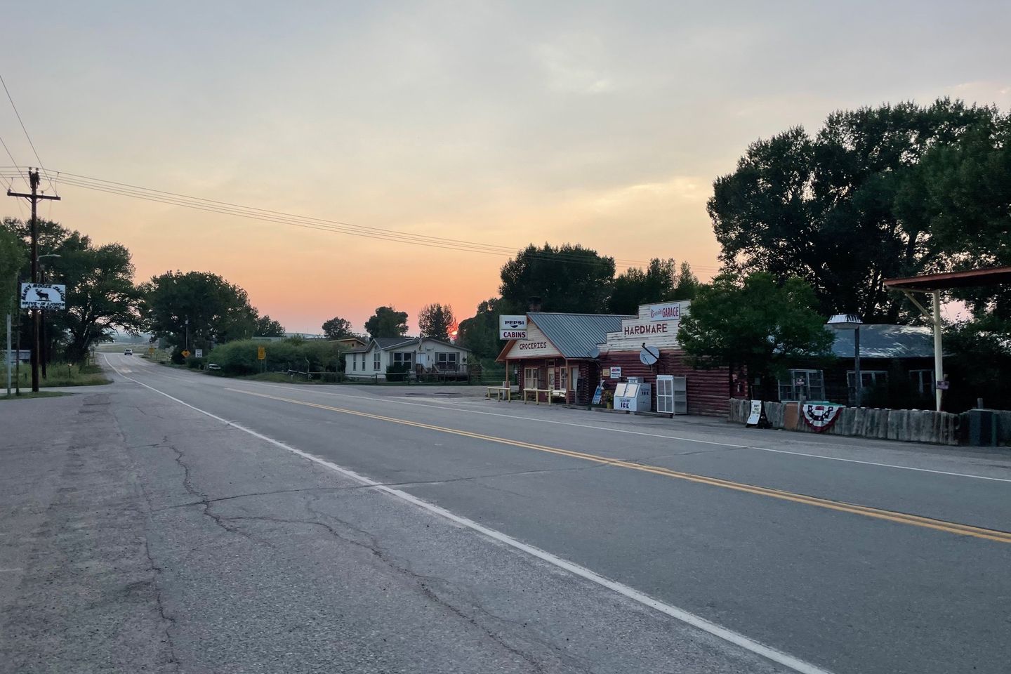
The road led into Riverside first. We hoped to camp in the RV park, but they were full, both tent campsites and their cabins. But next door was a small convenience store with some small (outdated) cabins available. The really good news was the restaurant across the street, which was open and had good food. We had lunch and dinner there.
And.... Feral introduced us to yet another plan to get to Rawlins. The initial plan to hike up to Battle Pass would be painful so he thought we should hike/road walk to Saratoga south of Riverside and then go cross country from there to Rawlins. That would shorten the trip a little and avoid the long climb to the pass. And being in one more town meant we really didn’t need to resupply very much. We all agreed, but were not looking forward to a whole day of hard surface road walking to get there. A little Google Map magic helped us find a series of dirt roads for most of the walk that was actually slightly shorter than the highway to Saratoga. So that is now our plan tomorrow. We have no idea where we will stay. As we say on the trail, “That is a tomorrow problem.”
Previous: Jul 25th, 2021
Next: Jul 27th, 2021

