
Want to document and share your hike with friends and family?
Our App is Available for iOS!
Download it now!
Day 50--Crabtree Meadow to Kearsarge Pass (and thence to Onion Valley Campground)
Day 50--Crabtree Meadow to Kearsarge Pass (and thence to Onion Valley Campground)
Otter, A Procrastinor's Journey(s) Jun 9th, 2021
Written, Tuesday, 8 June 2021
Well, this was a wild one!
I really slept pretty well last night, after yesterday's climb. I did wake up briefly around 0030 when a group of hiker headlights went by my tent. I think that was The Ambassadors going for their own Mount Whitney climb...to meet the sunrise.
I went back to sleep and didn't wake again until 0430, knowing I had a tough day ahead. On the heels of Mount Whitney, today I'll climb Forester Pass, which is the first major pass in the Sierra for NOBO hikers, and it's the highest point on the PCT.
After chores and breakfast, I hit the Trail at 0515 (or, rather, I hit A trail...I still have to walk about a mile back to the PCT from my campsite).
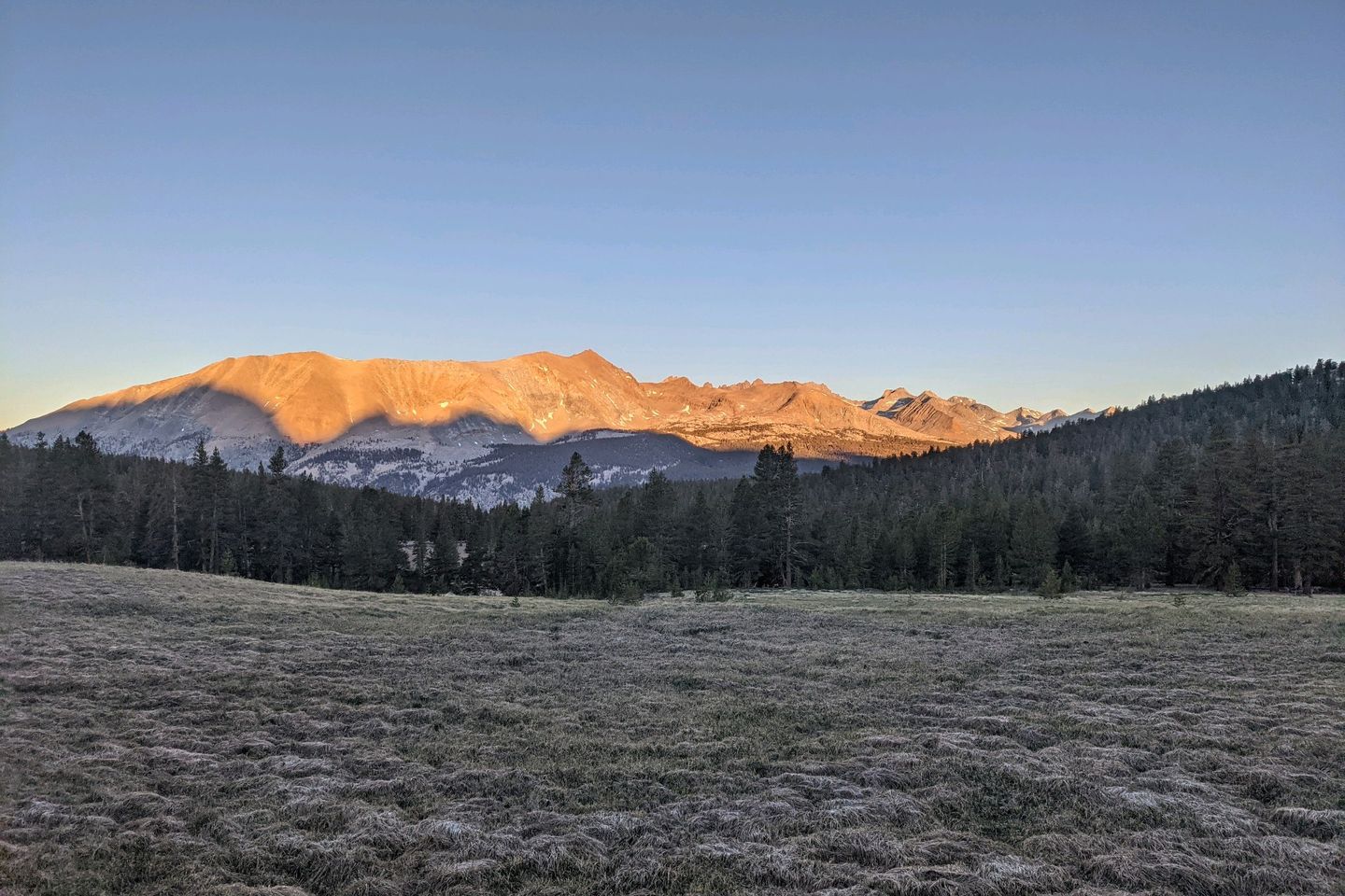
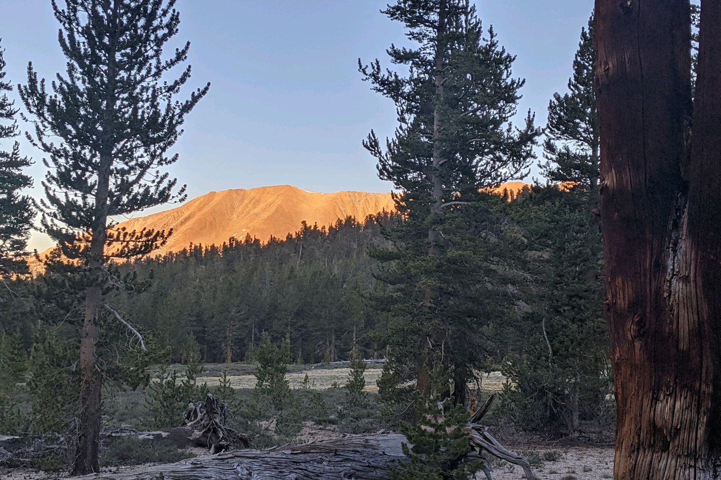
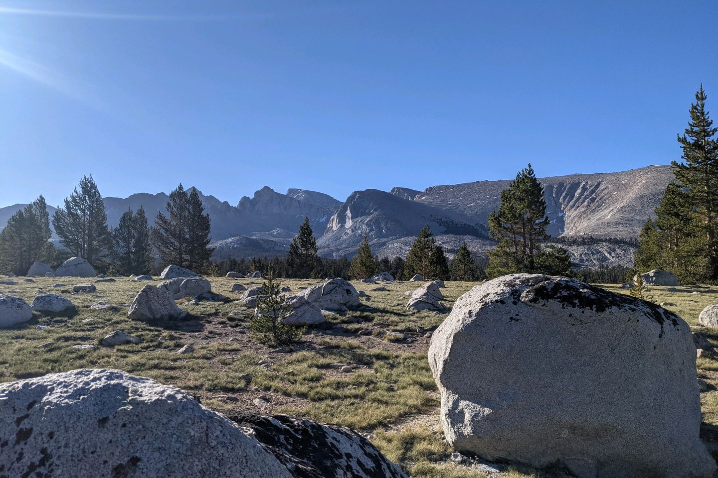
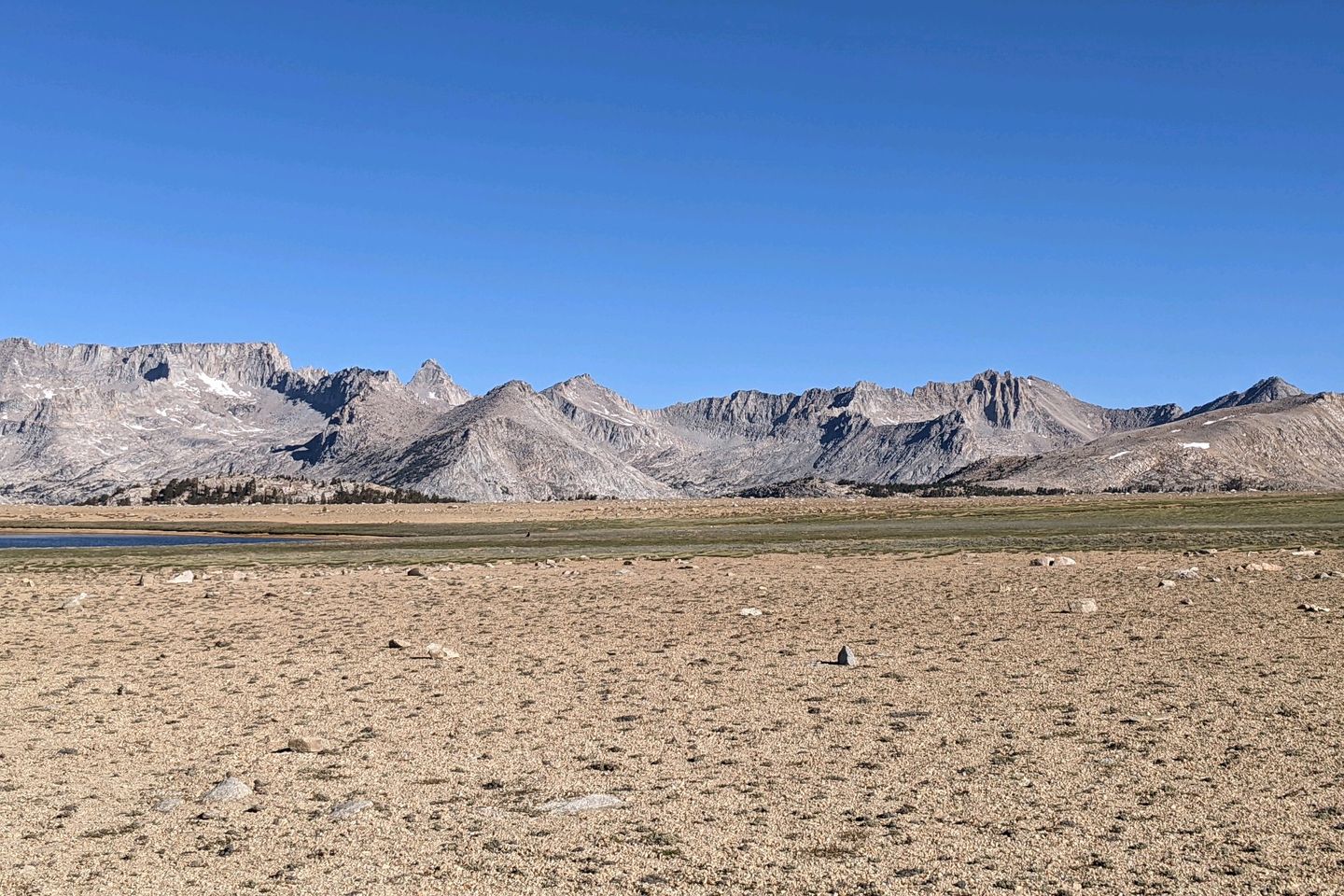
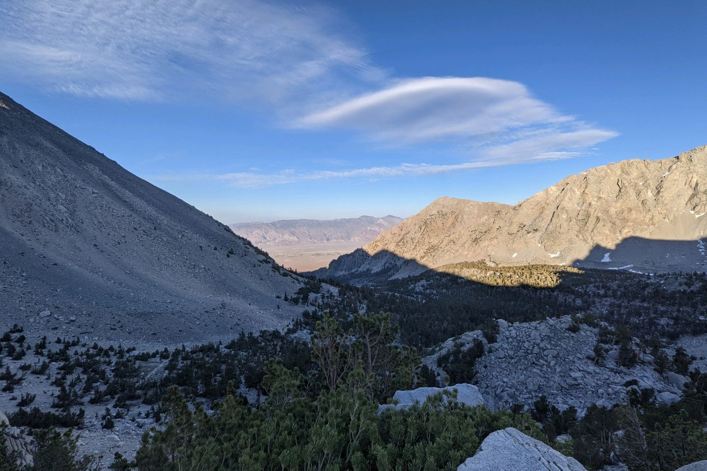
I find the PCT by a little after 0530. The early going isn't too tough, and I cover the first 5-6 miles quickly, passing by some beautiful scenery, including the spectacular Bighorn Plateau with it's breathtaking cirque, then dropping down a bit into Tyndall Creek where I am able to get good water for the climb ahead.
This is where the grind begins. Over the next 4 1/2 miles, the Trail rises about 2,500 feet to get over Forester (which is named not after a person but a group of US Forest Service people who found the possible pass and blasted a gap in the mountain rock to make a path a reality).
Along it's route, the PCT (unlike the Appalachian Trail) passes over very few mountain peaks. If you want to go to the top of a mountain, you can often take a side trail (such as yesterday's trip up Mount Whitney), but building the Trail over the high peaks of the western mountain range would have been far too difficult for the Trail builders...and far too tough for hikers too!
Instead, the PCT travel s the path of least resistance, over the shoulders of high peaks and, here in the Sierra, over a series of passes that are, generally speaking at the low points where the spined of two adjacent mountains connect.
That doesn't mean the PCT is less challenging than the AT, just that the AT is generally lower than the PCT. Even at Tyndall Creek today, I'm 4,000 feet higher than the highest point on the AT, and I'll soon be at double the altitude of the highest point of the AT (Clingman's Dome in the Great Smokey Mountains National Park, at 6,644 feet).
The climb out of Tyndall really is a grind. The forest around the creek soon gives way to a grey, rocky, and barren climb that offers little shade for the weary hiker. Luckily, there is a good breeze, and the temperatures aren't too bad. Still, I find myself wishing I had started earlier in the day.
Along the way, I pass Bucket and Sage, a father/daughter hiking team I've met several times before and really enjoy. We have a brief conversation as we all grind upward.
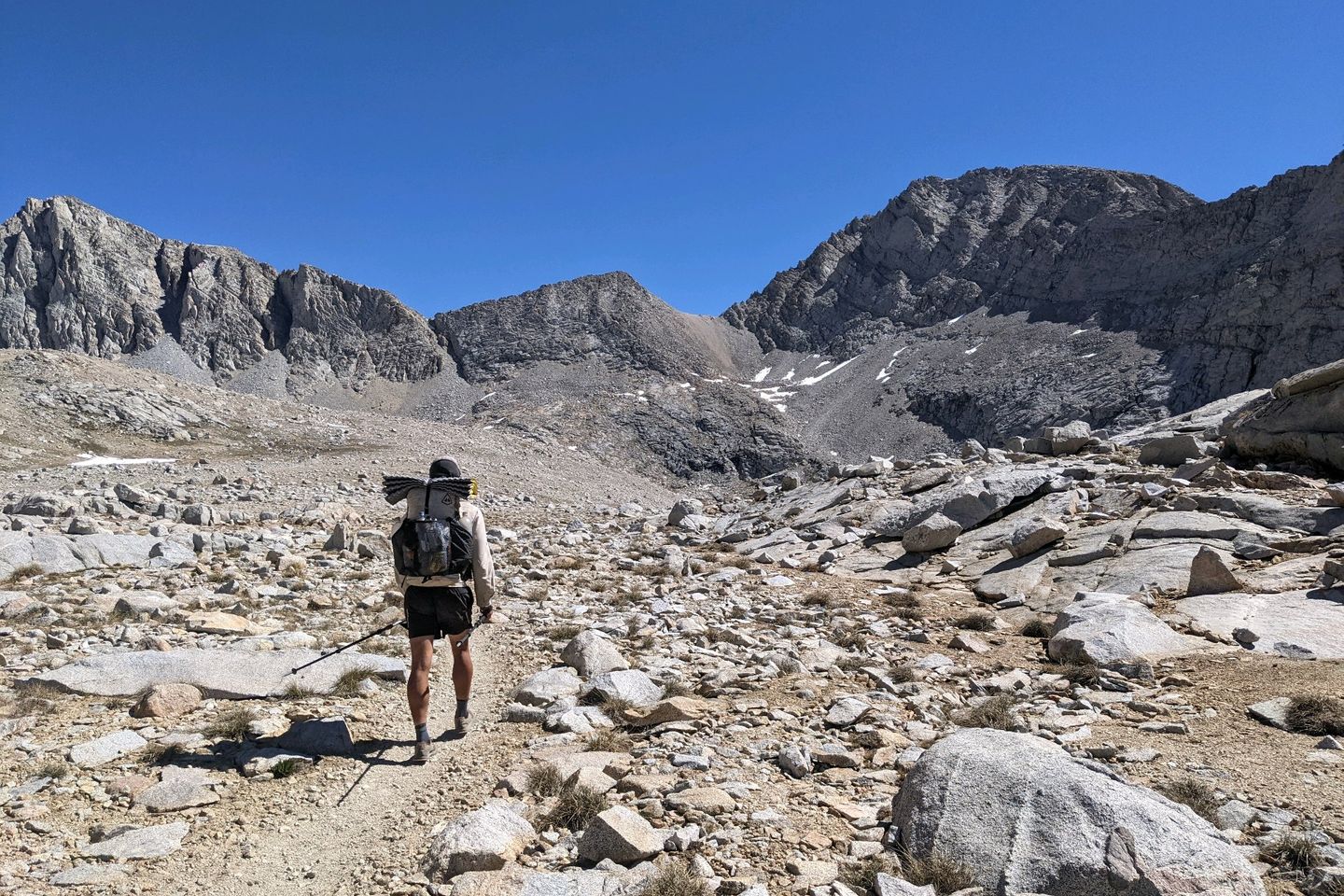
I am looking for the exact location of the pass, but all I can see is a sheer rock walk rising in front of me. Luckily, I don't have to do any real navigation here. If I just follow the Trail, it will take me where I need to go, but, man, it looks like it's going to involve rappelling UP the wall!
In the end, there's no rappelling. The Trail takes you right up to the wall and then starts a series of tight, steep switchbacks for the last 600+ feet of elevation gain to get over the pass.
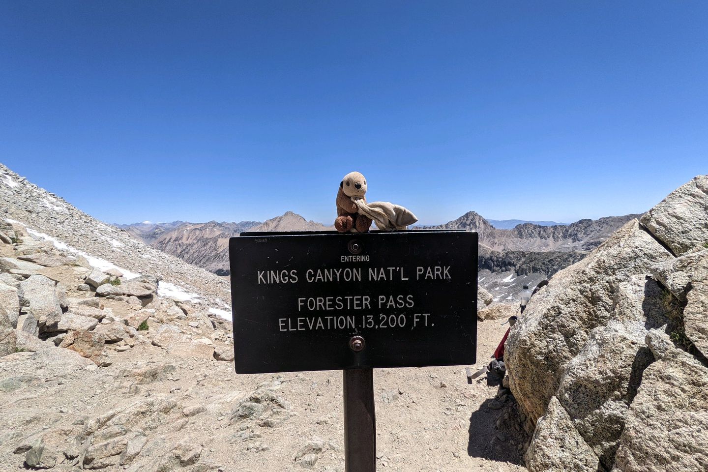
At 13,153 feet above mean sea level, Forester is officially the highest point on the PCT, so it's all downhill from here, folks!
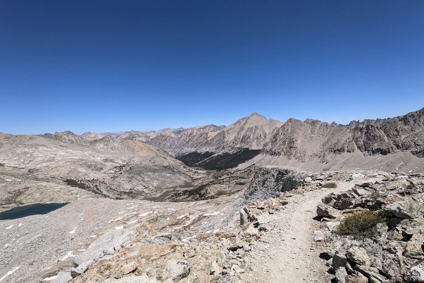
By now, it's between 1000 and 1030, and I don't spend a lot of time savouring the triumph. The climb down is also fairly strenuous, and it takes me a while before the Trail becomes less steep and I can look around again.
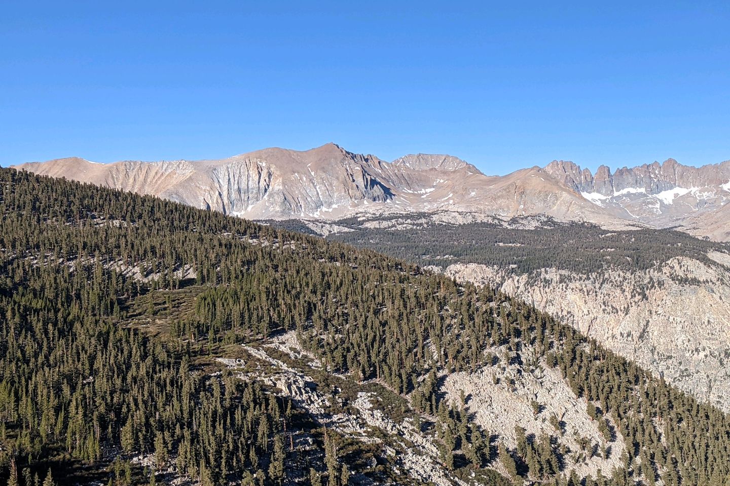
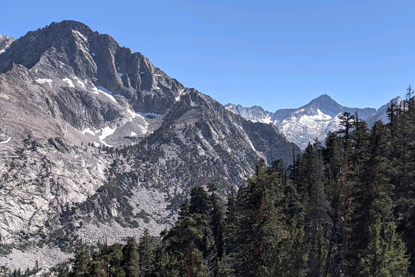
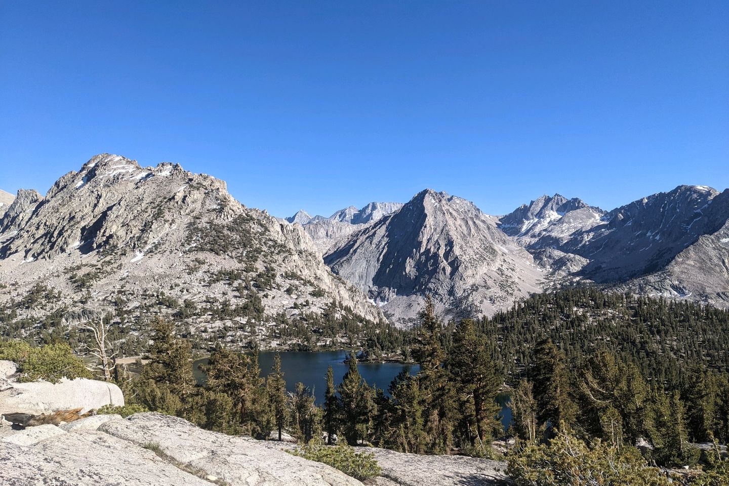
Plenty of good scenery this afternoon, including Vidette's Meadow, and lots of water along the way. None of the water crossings are difficult--just rock hops.
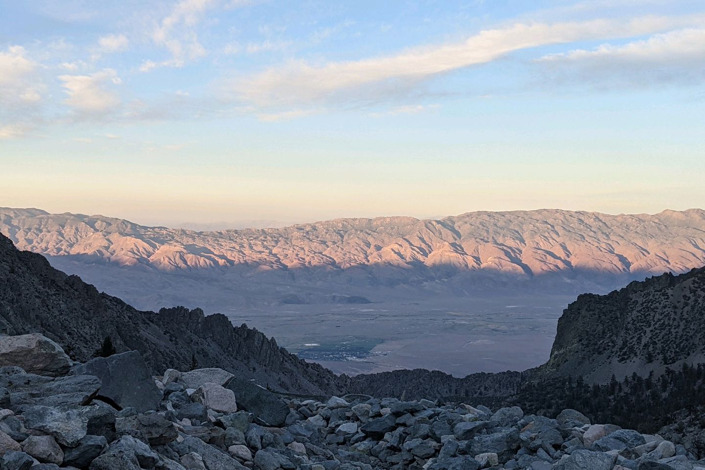
I'm headed for the a camp near Kearsarge Pass, a side-trail which is an exit point for resupply in the towns if Independence and Bishop CA. My plan is to camp close to where the PCT intersects the Kearsarge Pass Trail. That will make it easier tomorrow, when I want to get into town for a resupply and a zero-day recovery.
At some point, though, I realize that I'm making pretty good time, and it miiiiight be possible to go over Kearsarge Pass late today, if I arrive at the junction by, say, 1730. I would probably have enough daylight left to get over the Pass and down the other side.
This is really dumb, but, then, you guys know I'm going to do any dumb thing that comes into my head. I'm blaming it on the thin air at this altitude.
Sure enough, I get to the junction at 1725 and decide to go for it. It's 7.5 miles to the trailhead on the other side of the pass, and, in spite of my strenuous day, I am reasonably sure I can make it to the trailhead before dark.
Hahahahaha.
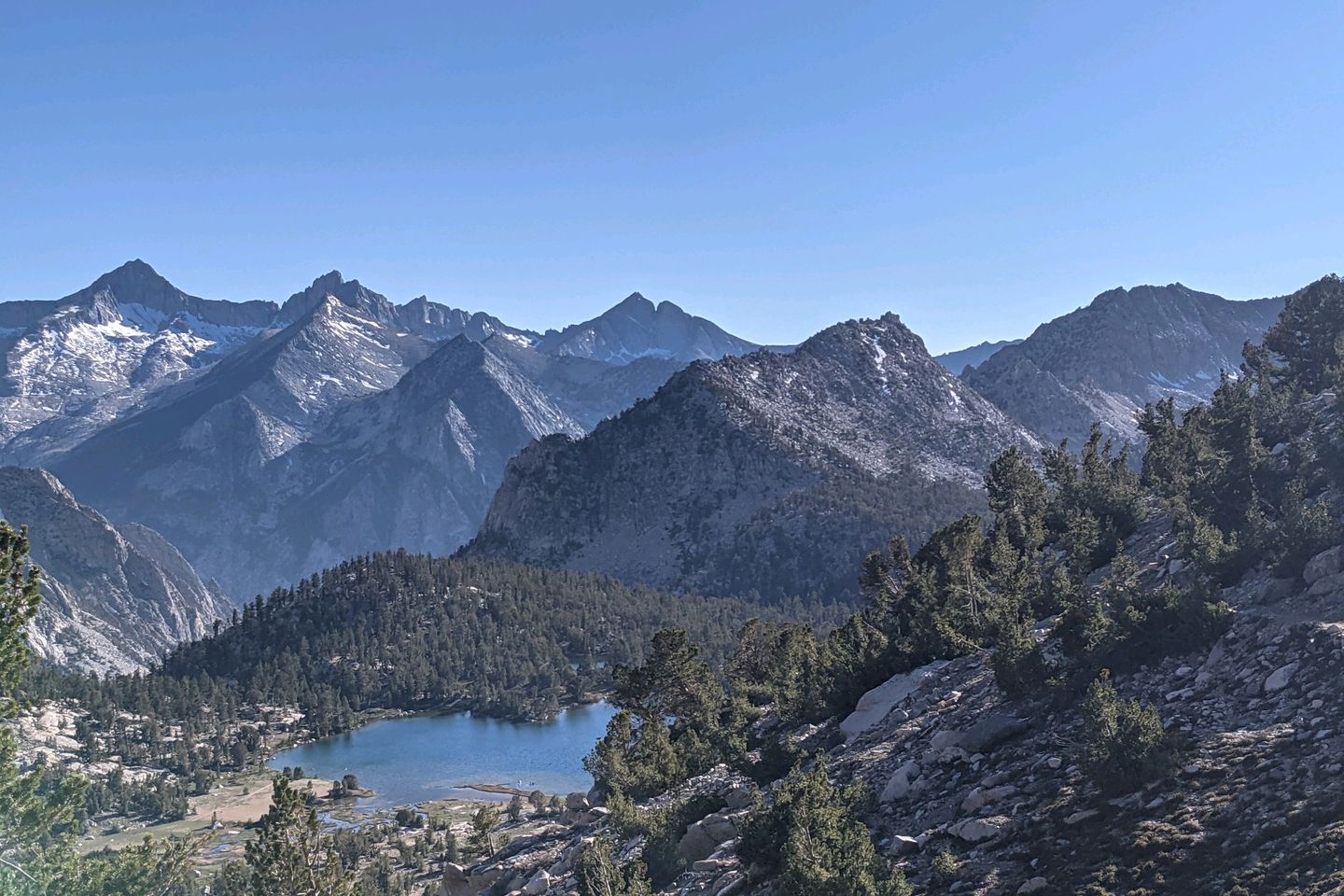
The first 2.2 miles aren't really too bad, even if they are pretty climby, but the next 9.7 miles which take me to the pass itself are brutally steep . Plus the wind is picking up, and we're getting buffeted significantly.
Still, I make the pass by about 1845. I stop for a 5-minute conversation with a hiker named Poppy who is going the opposite direction, and whose favorite animal is, coincidentally, the sea otter. Honestly, thus conversation would probably have gone in longer, but the wind at the pass was whipping hard, and we both needed to get further down to avoid being blown off this mountain.
On the way down, the wind didn't slacken much. I was in shadow, and it was quite chilly. I didn't want to stop to put on my puffy, even though I should.
The trail down was pretty rocky so my progress wasn't as fast as I wanted. If I'm going to make it to the trailhead before dark, it's going to be close. This reminds me so much of the time I had to climb down the backside of Mount Madison in the White Mountains before dark on the Appalachian Trail. Every time I check my watch, I'm falling behind...
In the end, I didn't make it before dark, but I only had to turn on my headlamp for about 15 minutes, and it didn't matter much because, at this hour (almost 2100), there's almost no chance I'll get a hitch into town anyway.
I rolled out my cowboy camping set-up right at the foot of the trail, raided my bear can for Clif Bars and Belavitas as my late supper.
Hard day, but not a bad day at all. Up over the highest point on the PCT and completed a difficult task I set for myself (though not quiiiiite as fast as I had hoped).
I'll worry about the ride to town in the morning, but for now I'm safe, dry, and warm at Onion Valley Campground.
Total Miles Hiked Today: 22.1 Total Miles Hiked: 789.1
NOTE: In addition to the 22.1 PCT miles I hiked today, I also hiked approximately 8.5 miles of side trail from Crabtree Meadow to the Trail and from the Trail, over Kearsarge Pass, to Onion Valley Campground
Sea Otter Fact of the Day: In the dark of the underwater ocean, sea otters use their dextrous paws and sensitive whiskers (called "vibrissae") to search for prey.
Previous: Jun 7th, 2021
Next: Jun 11th, 2021


