Want to document and share your hike with friends and family?
Our App is Available for iOS!
Download it now!
Day 49--Rock Creek Camp to Crabtree Meadow (and Mount Whitney)
Day 49--Rock Creek Camp to Crabtree Meadow (and Mount Whitney)
Otter, A Procrastinor's Journey(s) Jun 7th, 2021
Written Monday, 7June 2021
Well, I hadn't intended to climb Mount Whitney today, but that's what happened.
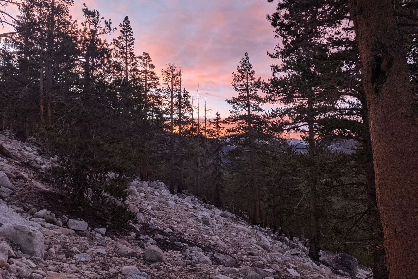
I woke up at about 0400 and was on the Trail by 0450, headed toward the traditional Mount Whitney staging area at Crabtree Meadow. I did a pretty good job of covering the the 5.6 miles between camp and Crabtree and found myself at a decent camping spot by 0815. I set up camp by 0845 and, if I had stayed true to our original plan, I would have waited until very early tomorrow morning to climb Mount Whitney.
But...
I looked at my watch, looked at my map, and decided that was a terrible waste of time.
I quickly put a few essential items into my backpack, leaving behind everything heavy, and my trusty sidekick, Arthur, and I set out to climb to the highest spot in the Lower 48.
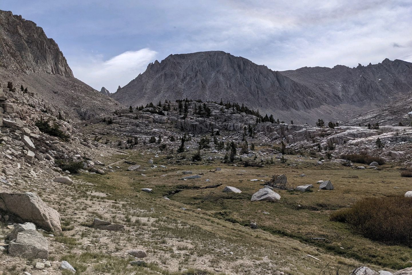
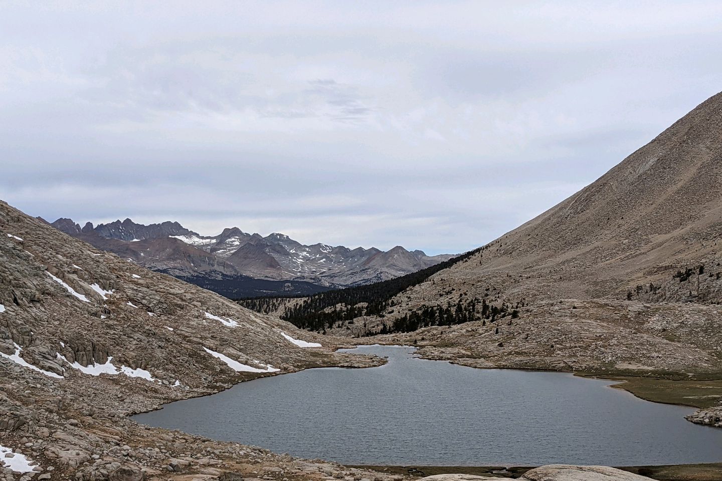
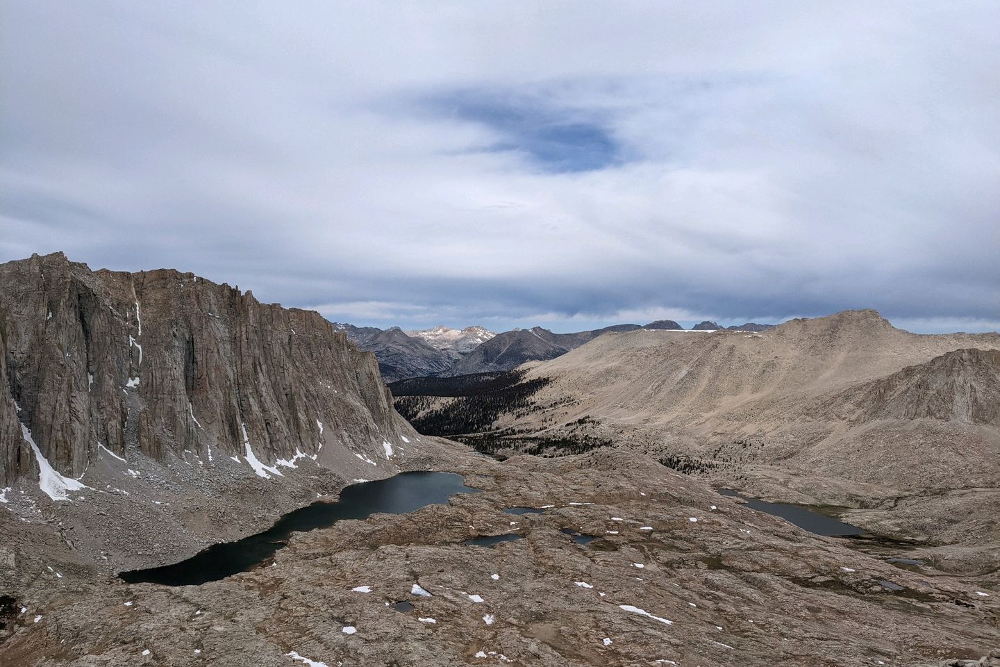
The hike started nicely enough, passing lakes (one of which is shaped like a guitar, thus the name Guitar Lake...see if you can spot it in the pictures above) and streams, but once the climbing started, it was serious--rocky, and steep. It took me almost 4 1/2 hours from campssite to summit--a distance of about 7.5 miles.
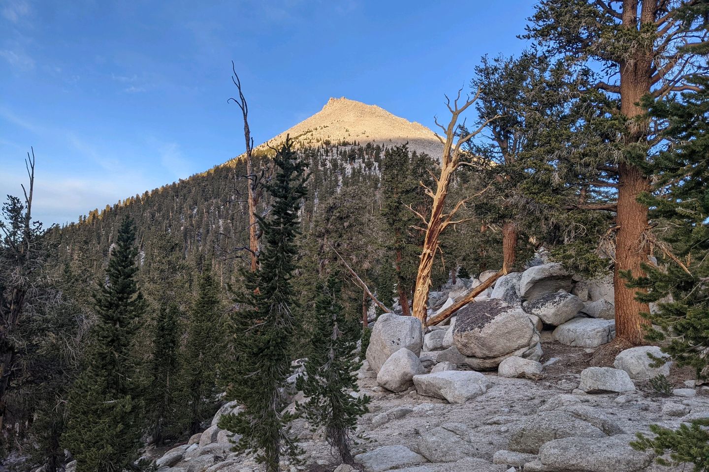
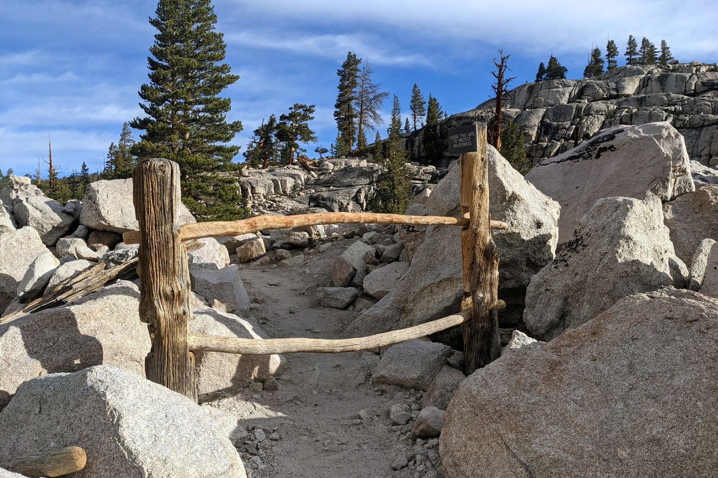
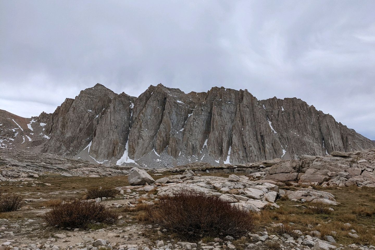
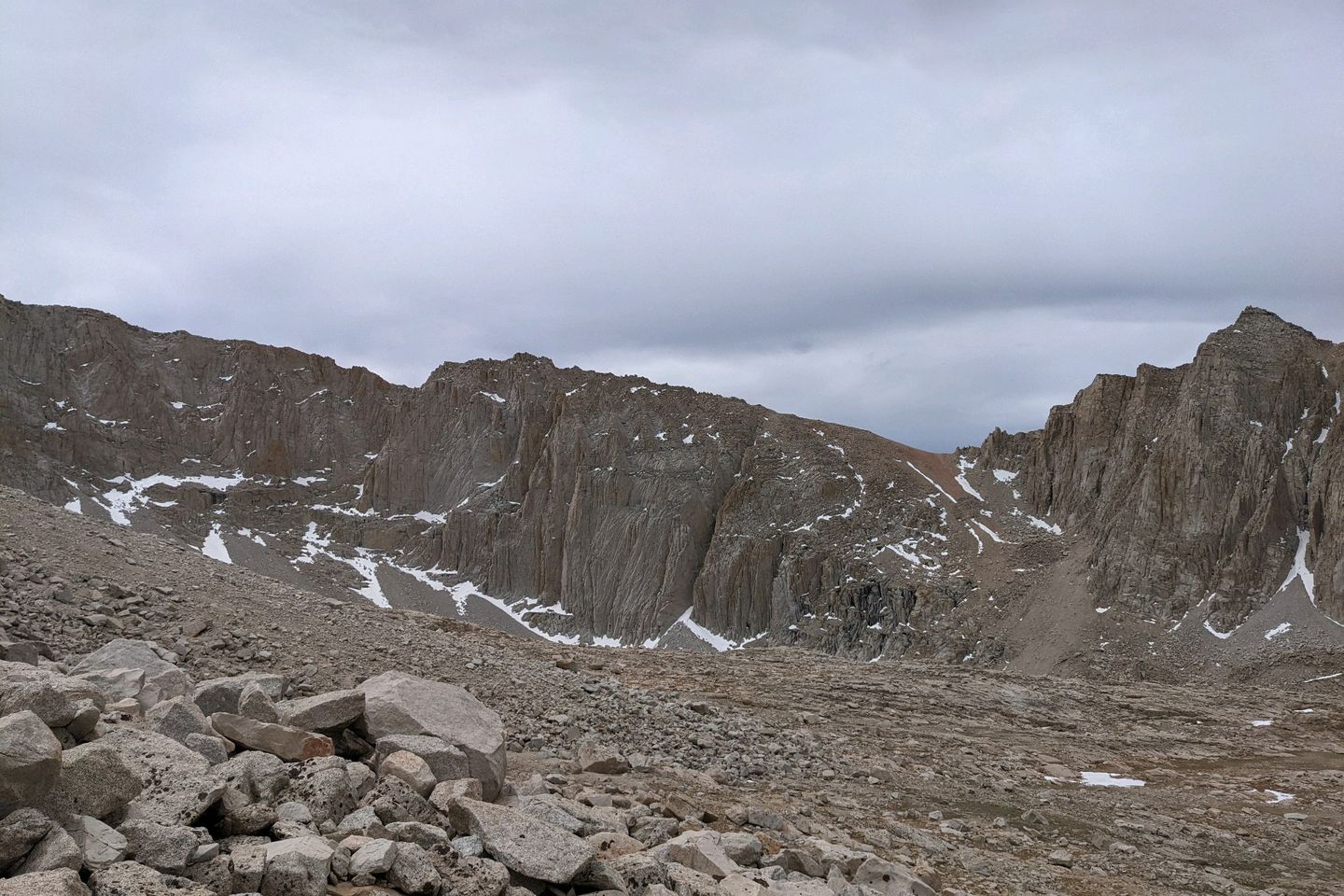
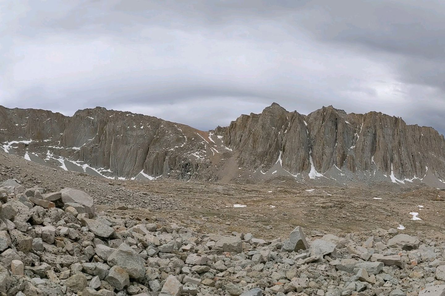
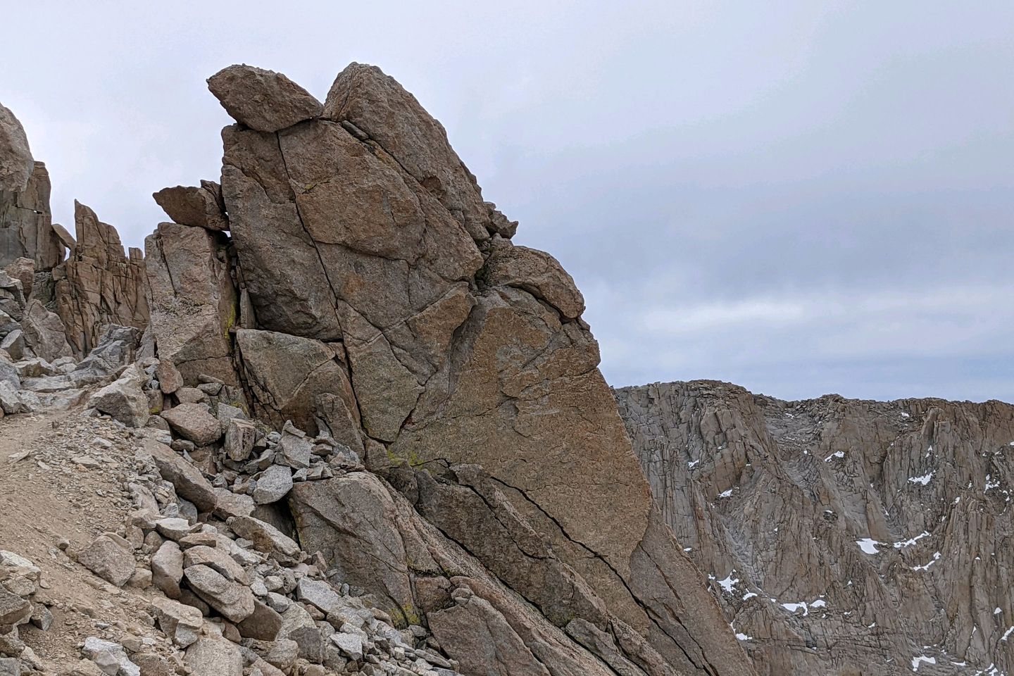
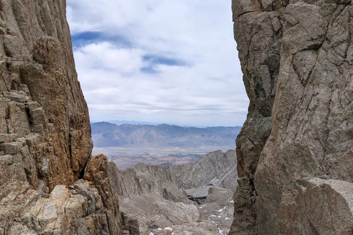
Views along the way are crazy gorgeous. Crazy! Eye-popping!
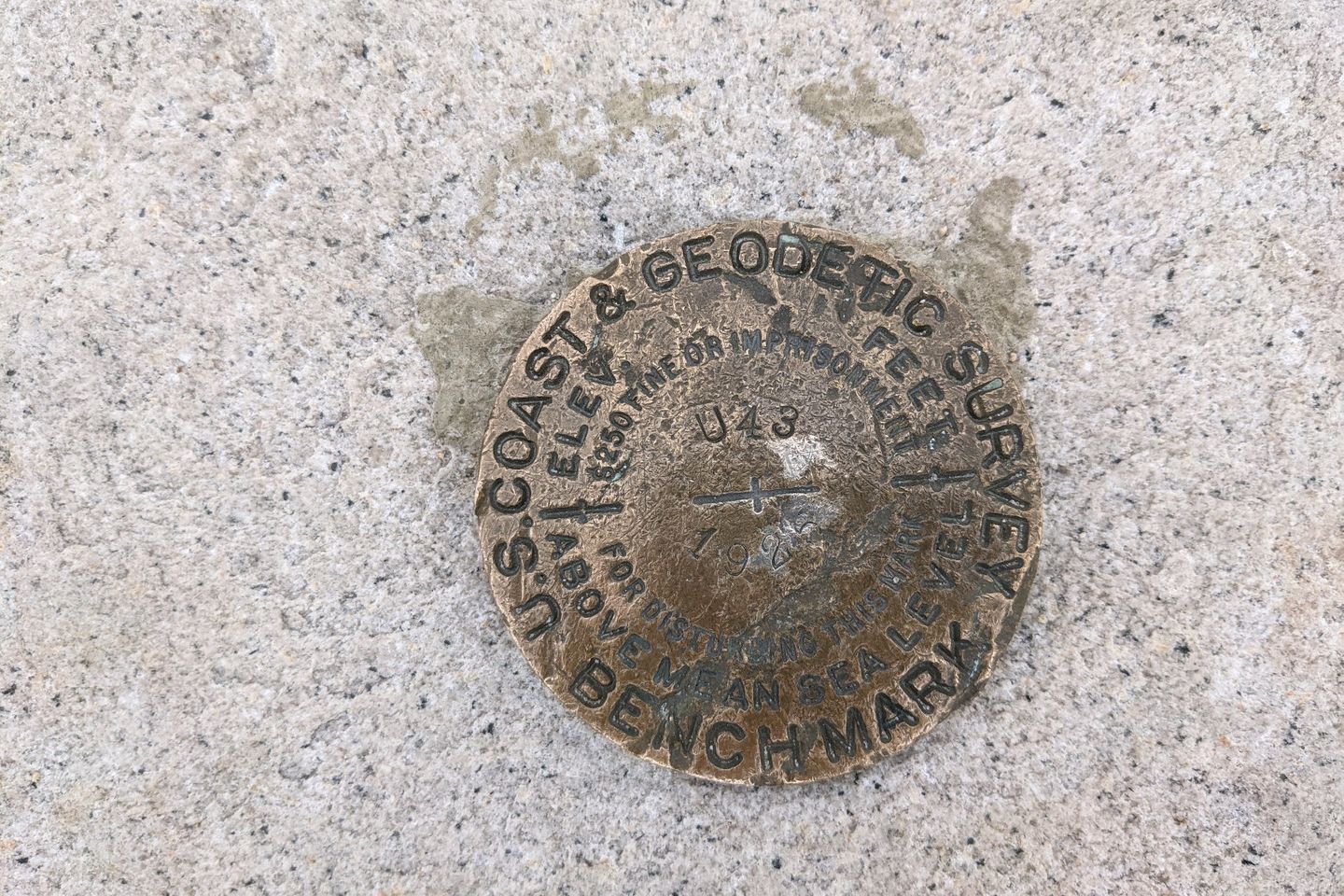
Mt. Whitney itself is a practically a solid block of granite. Over the last 10 million years, all of the softer material has been stripped away by glacial erosion. At 14,505 feet, the peak is the highest point in the contiguous US, and it was originally summited by 3 fishermen from the nearby Owens Valley in 1873. Local people wanted to name it Fisherman's Peak, but eventually it was named for Dwight Whitney, the head of the California Geological Survey (and, by most accounts, a total jerk).
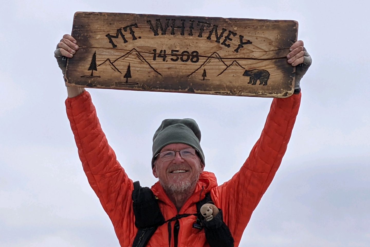
This is the highest I have ever climbed under my own power and the top altitude I have hiked since I climbed Mt. Fuji (12,389 ft) on 4 July 2014. I doubt I will ever top this altitude again so I savor the moment.
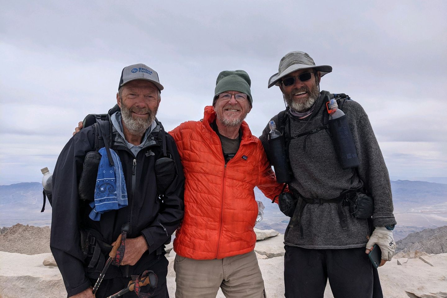
Luckily for me, Bang and Knee-Deep, two really good hikers my own age joined me on the summit shortly after I arrived so we took turns taking each other's pictures. I also had a chance to call Dad and use a flicker if Verizon data service to book rooms in the town of Bishop for me and the Ambassadors a few days from now. That's efficiency!
The hike down was just as tough as the hike up, and I didn't get back to my tent until at least 1800. Many, many, many swear words were spoken along the way.
Looked for the Ambassadors, but couldn't find them for supper so made a quick dinner and hit the hay. I think they are already in their sleeping bags, resting before a midnight start (they are hoping to summit at sunrise).
Tomorrow is Forester Pass (another big climb...yay!).
Safe, dry, and warm tonight!
Miles Hiked Today: 5.8 Total Miles Hiked: 766.3
NOTE: Mount Whitney is not on the PCT. It's a side excursion, so the only PCT miles I get credit for today are the miles between Rock Creek and the turn-off for Crabtree Meadow. The Whitney round-trip is about another 16 miles.
Sea Otter Fact of the Day: Sea otters are not particularly fast swimmers. They can swim as fast as 15-20 miles per hour over very short bursts, but typically they zoom along at 2-3 miles per hour or less.
Previous: Jun 6th, 2021
Next: Jun 9th, 2021

