Want to document and share your hike with friends and family?
Our App is Available for iOS!
Download it now!
Day 46--Kennedy Meadows (South) to Campsite Below Olanche Peak
Day 46--Kennedy Meadows (South) to Campsite Below Olanche Peak
Otter, A Procrastinor's Journey(s) Jun 4th, 2021
Written, Friday, 4 June 2021
Welp. I can tell you right now that the Sierra section of the PCT is going to run me right out of adjectives, adverbs, and superlatives. You are going to get tired if reading the words "stunning", "breathtaking", and "the highest", etc. So if the next 3 weeks of entries get repetition, feel free to leave new, better words in the comments, and I will try to work them into a post...
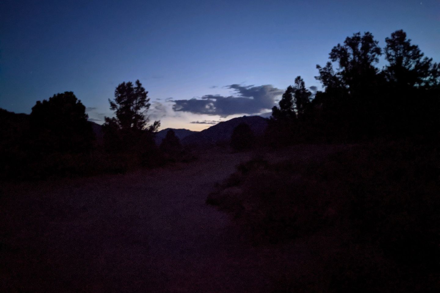
As always before I return to the Trail, I slept last lightly, a bit anxious. I always worry that I will accidentally sleep late and, this, have a too late start to the day.
As it was, I couldn't sleep past 0330, so I got myself up, ate breakfast, and packed as quietly as I could do as to not disturb other hikers sleeping nearby.
As my last act before leaving Wifi and cell service behind, I sent a Happy Birthday message to my Dad, back in Virginia. Happy 84th birthday, Dad!
By 0420, I headed out into the Trail, with my headlamp on. I had about 0.7 miles to walk back to the Trail, and I immediately feel how heavy my pack is, with 6 days of food and a bear canister.
No, I am not carrying a small, canned bear...
Bear cans are designed to hold your food and--at least theoretically--keep bears from getting to it. The federal government and various local agencies require them in many areas where large populations of people come into contact with large populations of bears. In our case, the mandate doesn't start for another couple of days, but Kennedy Meadows is the last place most of us can pick up the can so I'm carrying an extra 2 lb can for the next 270 miles...in addition to the heaviest food load yet.
This is ALS not great news for my old ZPacks backpack, which is audibly groaning under all the weight as I reach the Trail junction. Man, I hope my new pack meets me at my next stop. Not sure how many more miles my trusty, old ZPacks pack has left. She's definitely not designed for the load she's carrying today.
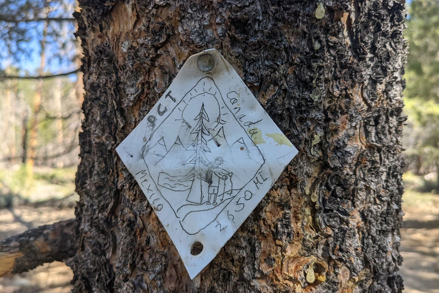
As usual, I start with a couple of wrong turns before I get firmly established on the Trail. I can now say that, at least as far as the PCT is concerned, I am now officially in the Sierra Nevada mountain range.
The Spaniards named this range because of its appearance. Sierra means searated, and Nevada means snowy, and that's exactly what the range looks like in a normal year--a jagged, snow-covered sawblade of impossibly high mountains, running mostly south to north through central California. To the west is the fertile, wet valleys that feed America and much of the world. To the east is the hot, dry desert, including Death Valley, the lowest and hottest place in the US.
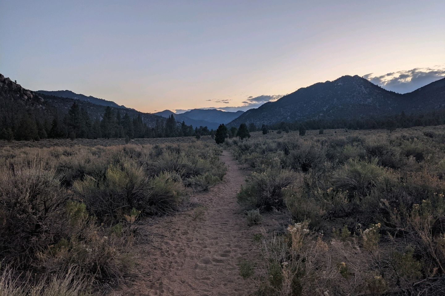
As the sky lightens, I can see ahead to the rough, forbidding peaks we will be hiking through for the next 3-4 weeks. This year, because of the very dry winter, the mountains are not covered in snow. Oh, there are visible patches and streaks, but usually at this time of year, the mountains would still be enrobed in white. Not in 2021. Probably a great thing for us hikers, but definitely bad for farmers and firefighters...
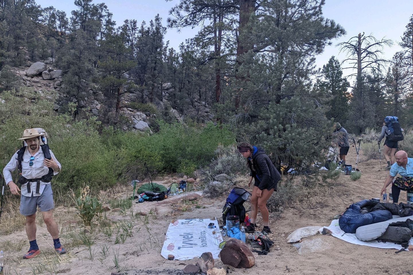
I have a beautiful, peaceful hike for the first 3 miles or so, the Trail rising gently before me, and I find The Ambassadors camp at about 0600, a lovely spot near the banks of the Kern River. The time and place are perfect for a snack and a chat as the Ambassadors are packing up.
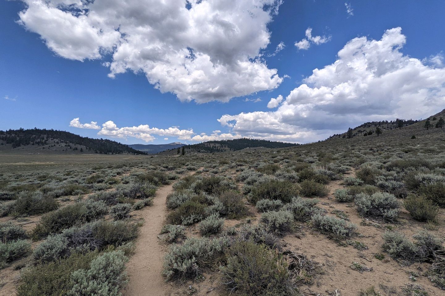
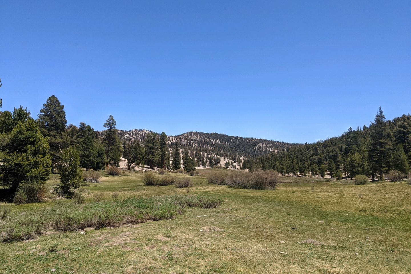
At about 0630, I get myself moving again. Ahead, the low point between two mountains forms a gateway into the Sierra corridor, and the Trail is headed right through it, a long, steady, gentle climb to about 7,500 feet and into a beautiful meadow on the other side. During the morning, most of The Ambassadors pass me, as I am slower than almost all of them
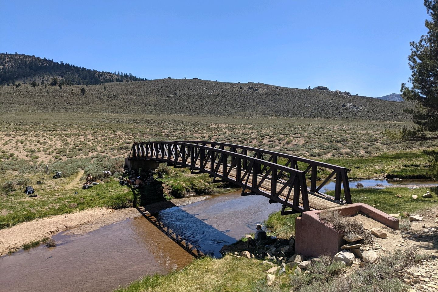
For the next couple e miles, the Trail is straight and level, finally dropping slowly down to, again, the Kern River, which is bridged where the PCT crosses it. During a normal year, this would probably be a raging torrent right now, fed by snowmelt from the mountains, but this year, the Kern is just a broad, flat, gently flowing river, a little more than ankle deep.
This is where everyone has stopped for lunch, and a few hikers are even having a makeshift game of Ultimate Frisbee on the flat, sandy river bank.
I have a good lunch, trying to eat down my heavy food supply and then start back up the Trail toward Cow Creek.
This is where it gets ugly. Not only is the creek almost dry, it sits at the base of a very steep climb. From the bottom, the Trail looks like it goes straight up. Carrying my overburdened pack, it takes me over an hour to make the next 1.9 miles. Ouch!
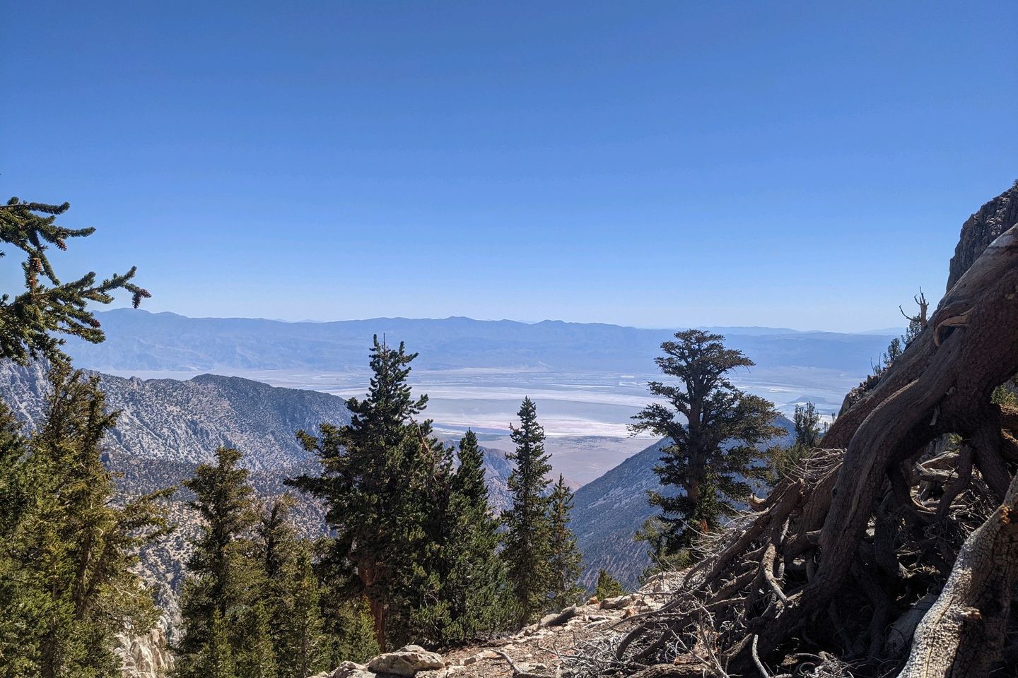
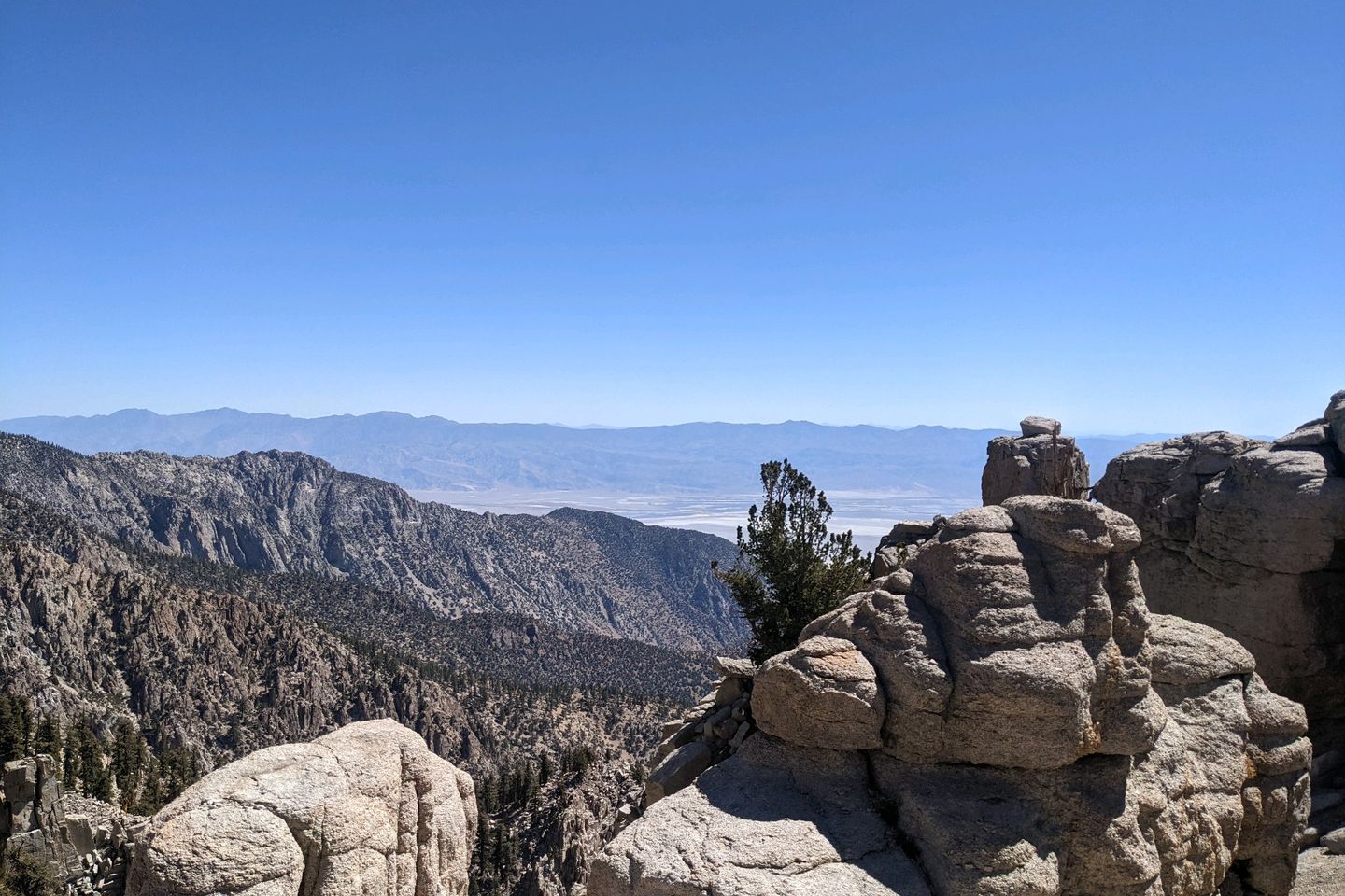
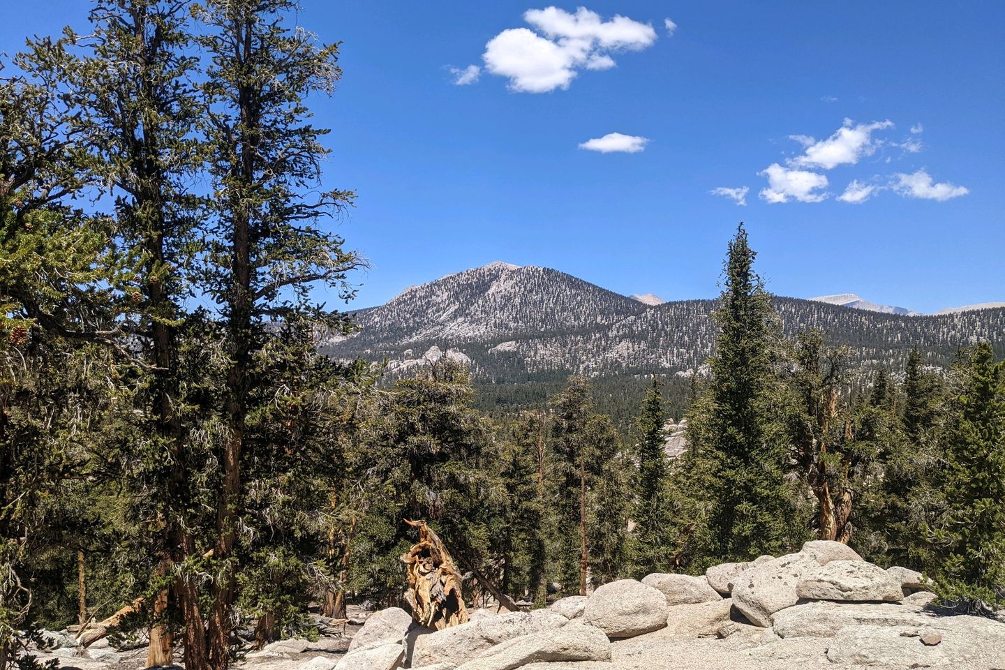
But, when I'm done, I'm above 10,000 feet for the first time on the PCT, and we have an incredible view of the valley we hiked through this morning. And equally impressive views of the sawtooth mountains towering over us.
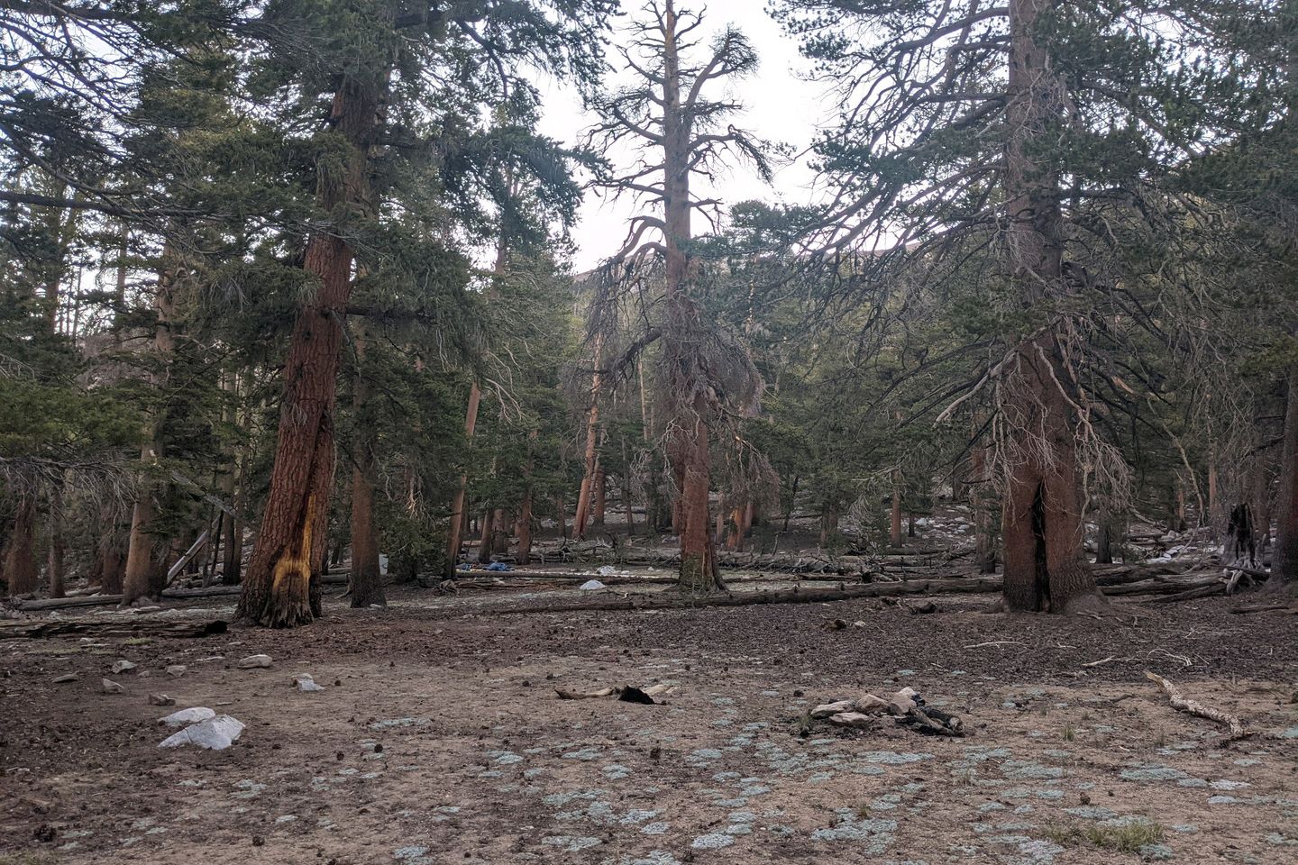
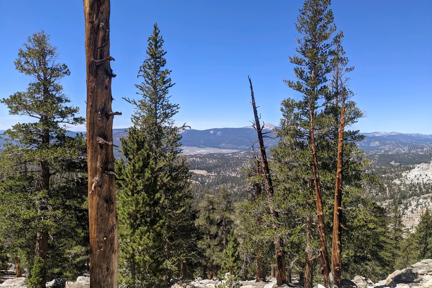
The climb continues but levels off somewhat as we enter a forest of foxtail firs and other evergreens below Olanche Peak.
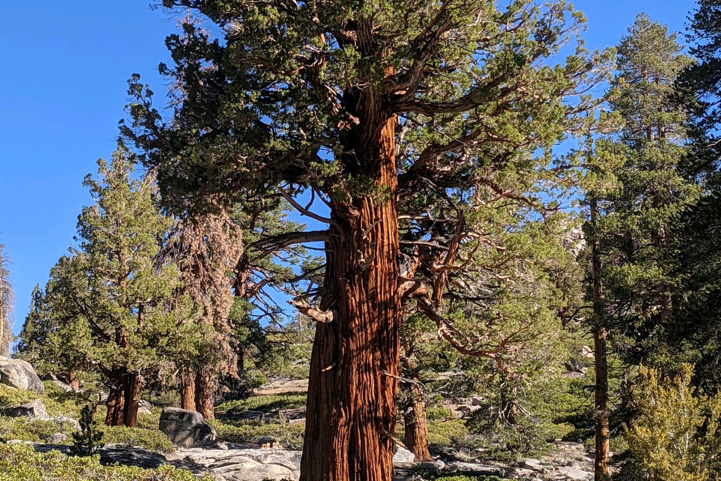
Finally, the Trail turns slightly downward and drops me into our campsite for the evening, surrounded by ancient trees (for real! Some of these trees are probably over a thousand years old). Gorgeous!
Baewatch, Catch, Elle, Anchor and catch up soon. Florian is somewhere ahead. Maverick is somewhere behind.
As for me, I'm safe, dry and warm in the Sierra tonight.
Miles Hiked Today: 22.8 Total Miles Hiked: 725.0
Sea Otter Fact of the Day: The loose skin underneath a sea otter's front legs forms pockets in which otters store their favorite ricks or, perhaps, a snack for later
Previous: Jun 4th, 2021
Next: Jun 5th, 2021


