
Want to document and share your hike with friends and family?
Our App is Available for iOS!
Download it now!
Day 31--Hikertown to Tehachapi Willow Road
Day 31--Hikertown to Tehachapi Willow Road
Otter, A Procrastinor's Journey(s) May 21st, 2021
Written Thursday, 20 May 2021
Today is "Infrastructure Day" on this channel do expect lots of pictures of aquaducts and windmills!
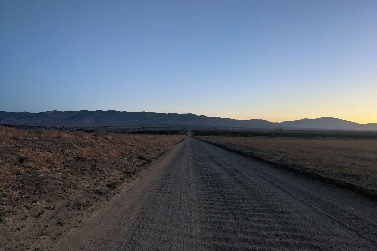
Last night was another windy, chilly night. Although I found a reasonably good wind-break amid the weirdness that is Hikertown, the wind and various flapping, unsecured tarps really prevented me from getting a sound sleep. When 0400 rolled around, it was easy to get up, pack up, eat a fast breakfast, and pound the last of my Power Are before setting out for the Trail, headlamp ablaze.
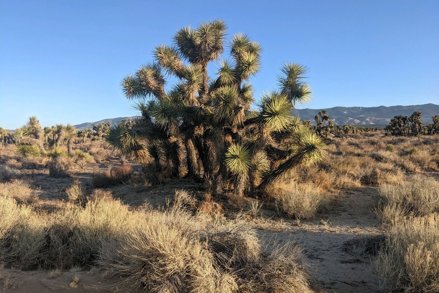
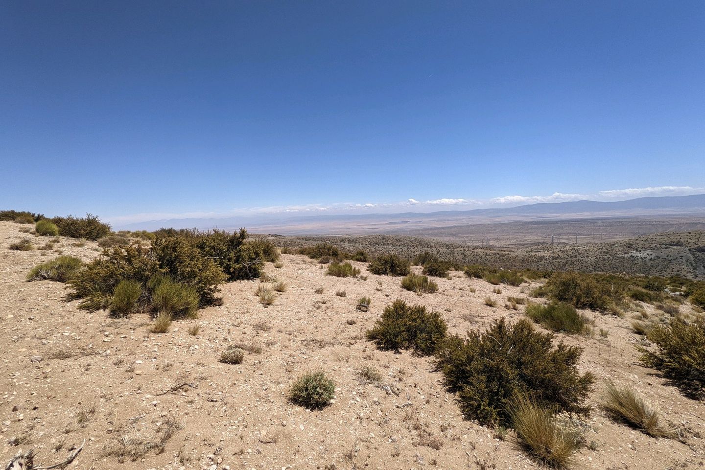
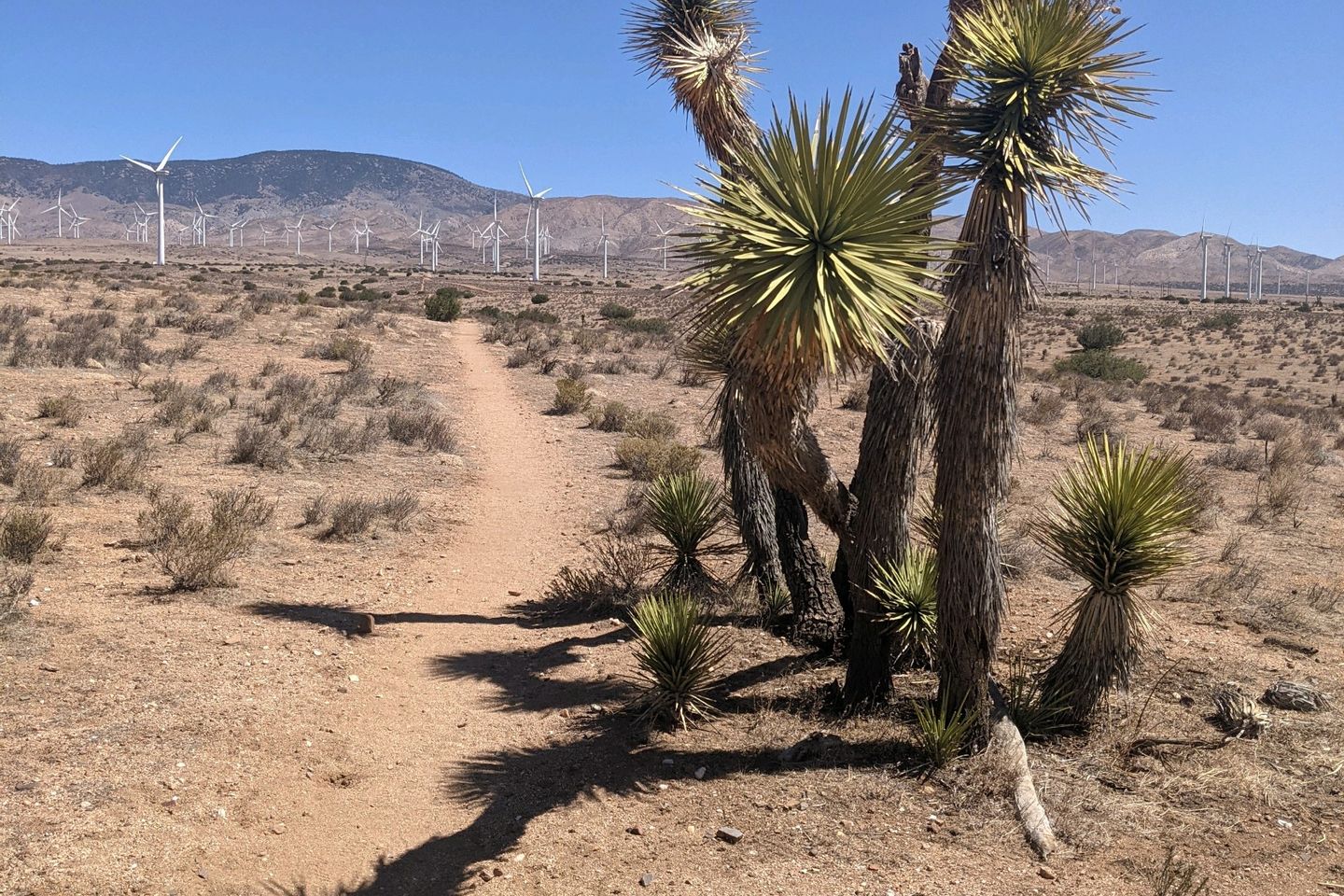
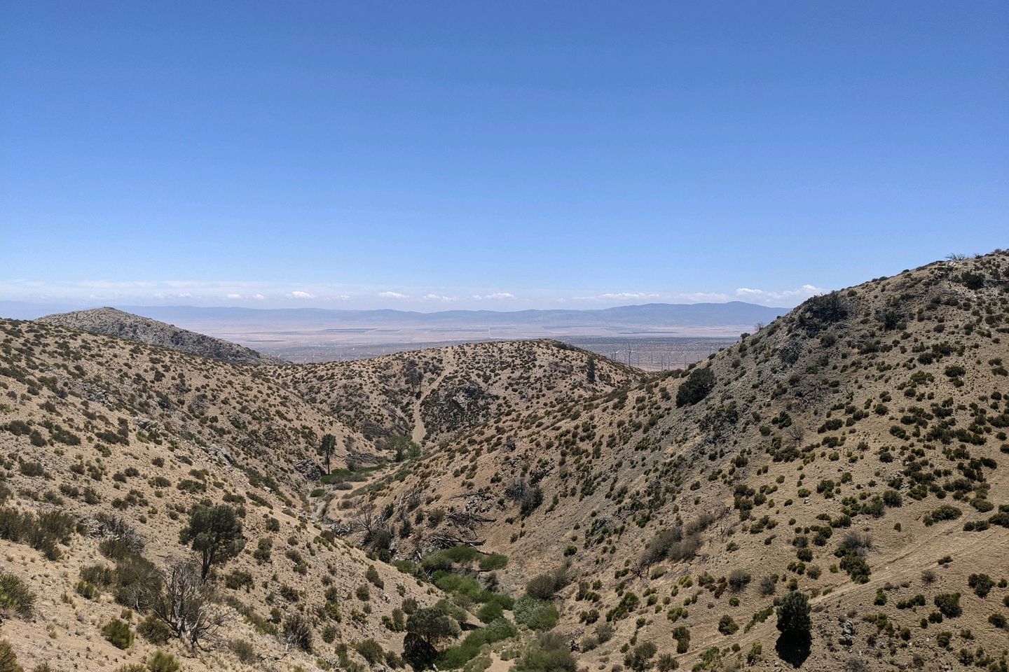
This is the Antelope Valley, the very western tip of the Mojave desert. Bounded by the San Gabriels (through which we have just passed ) to the south, the Tehachapi range to the northwest, and the Sierra Pelona mountains to the west, this flat, dry space can often be 100°F or more during the day at this time of year, but we are benefitting from an unusually cool period. We'll take it.
As I headed into the valley, the cold wind was blowing hard, and, even wearing my fleece and a beanie, I was chilly, and my hands were stuff on my trekking poles. The only answer was to move faster and generate some heat.
Luckily, the Trail this morning was flat (not just flat-ish... flat. Like table-top flat) and fairly straight, with just a couple of turns. The only impediments to progress are a few gates, as we move across the lands if various property owners and/or government agencies.
Soon, we are paralleling a feeder canal to the Los Angeles Aquaduct, one of several that funnels millions of gallons of water every day, from various parts of California to LA to keep Angeleno's lawns green (and, sure, help thirsty children). I don't know anything about California water politics except what I've seen in the movie Chinatown, but the enormity of this engineering project is impressive, no matter what.
The sun is coming up as I walk, and the wind does seem to be dying so I slow down a little and allow myself to enjoy the rural desert at dawn Birds are starting to sing their morning song. Nearby, a rooster is announcing his readiness to start the day. And, in the distance, I can hear dogs barking.
Just as the sun peeks over the horizon, the Trail makes a turn (as does the Aquaduct) and goes from paralleling the Aquaduct to riding in top of it. The water is now flowing in pipes beneath my feet, encased in a concrete , and, for the next straight, flat 10 miles that concrete will be the Trail.
As the sun rises, and the concrete surface becomes more visible, I can't help but laugh. Every 50 feel or so, embedded permanently in the concrete, are the tracks if various desert creatures--birds of varying sizes, rodents, coyotes, ungulates (maybe antelope?), cats large and small. Even in the supposedly dead desert, concrete workers are beset by critters that mar their work!
The Aquaduct is strong enough to support vehicle traffic and there is a surprisingly large amount out here in the middle of nowhere. I'm passed every few minutes by a car or pick-up truck.
Ironically, even though I am walking above an man-made river, this is a very dry stretch of Trail. There is no accessible water out here, and the first water source is 17.3 miles past Hikertown, where I started my day.
I'm carrying 4 liters of water, but I'm also benefitting from the early start and the unusually cool temperatures (still wearing my fleece) so I don't need nearly as much water as I thought I would.
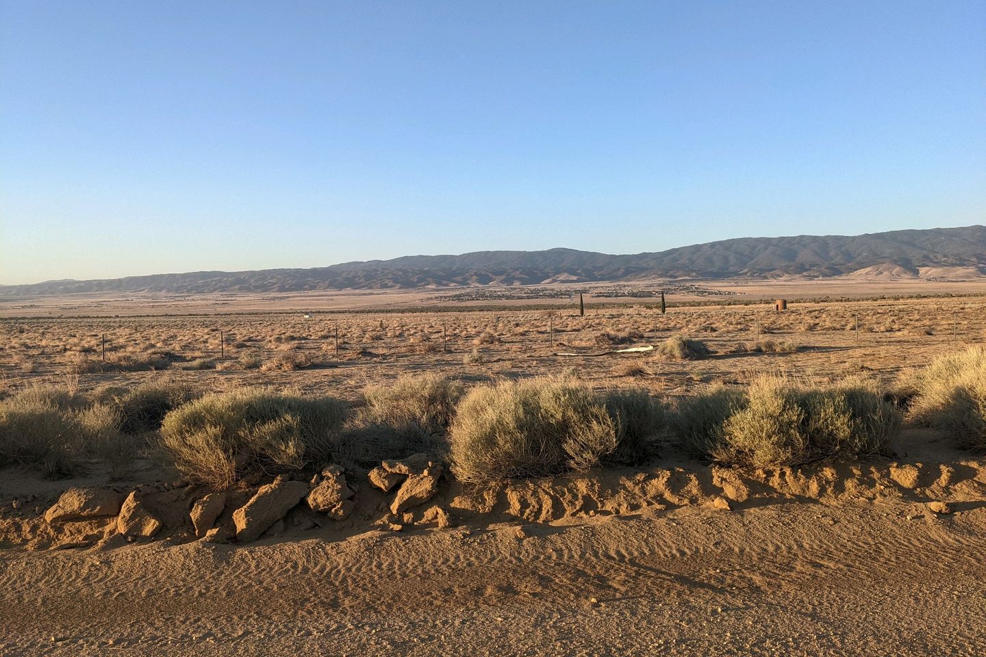
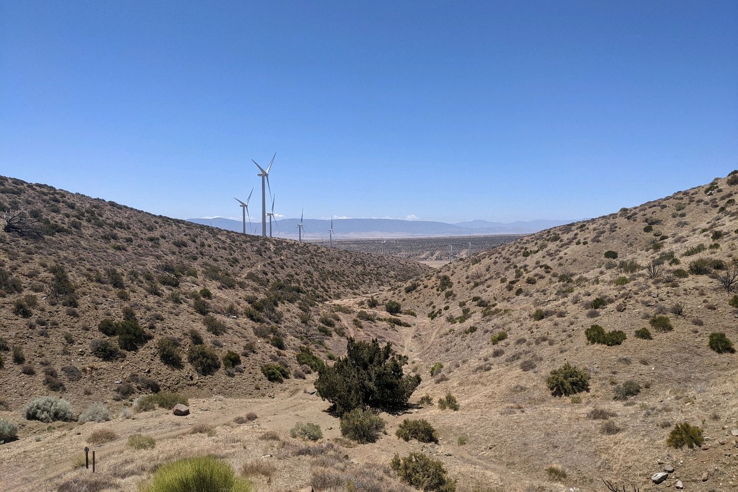
As flat and straight as it is, the Aquaduct just rolls by in the early morning hours, and by around 10, I have done 15 miles or so, having passed just one pair of hikers along the way. The Trail finally turns northward, off the Aquaduct and heads upward into the Tehachapi range.
The name "Tehachapi" is derived from the Kawaiisu Native American word Tihachipia, which means "hard climb," but this isn't too terrible at first. The skirt of the mountains rises gently, and the Trail is headed right toward the gap between two if the Tehachapi hills.
One thing is definitely noticeable: immediately after turning off the Aquaduct, the wind speed started to increase again. It's no longer freezing cold, but I can leave my fleece on and not get overly warm. I'm not even sweating in the gentle climb.
Shortly, I pass the first water source of the day, but I have barely touched the water I have, and the next source is just 6 miles further so I press on.
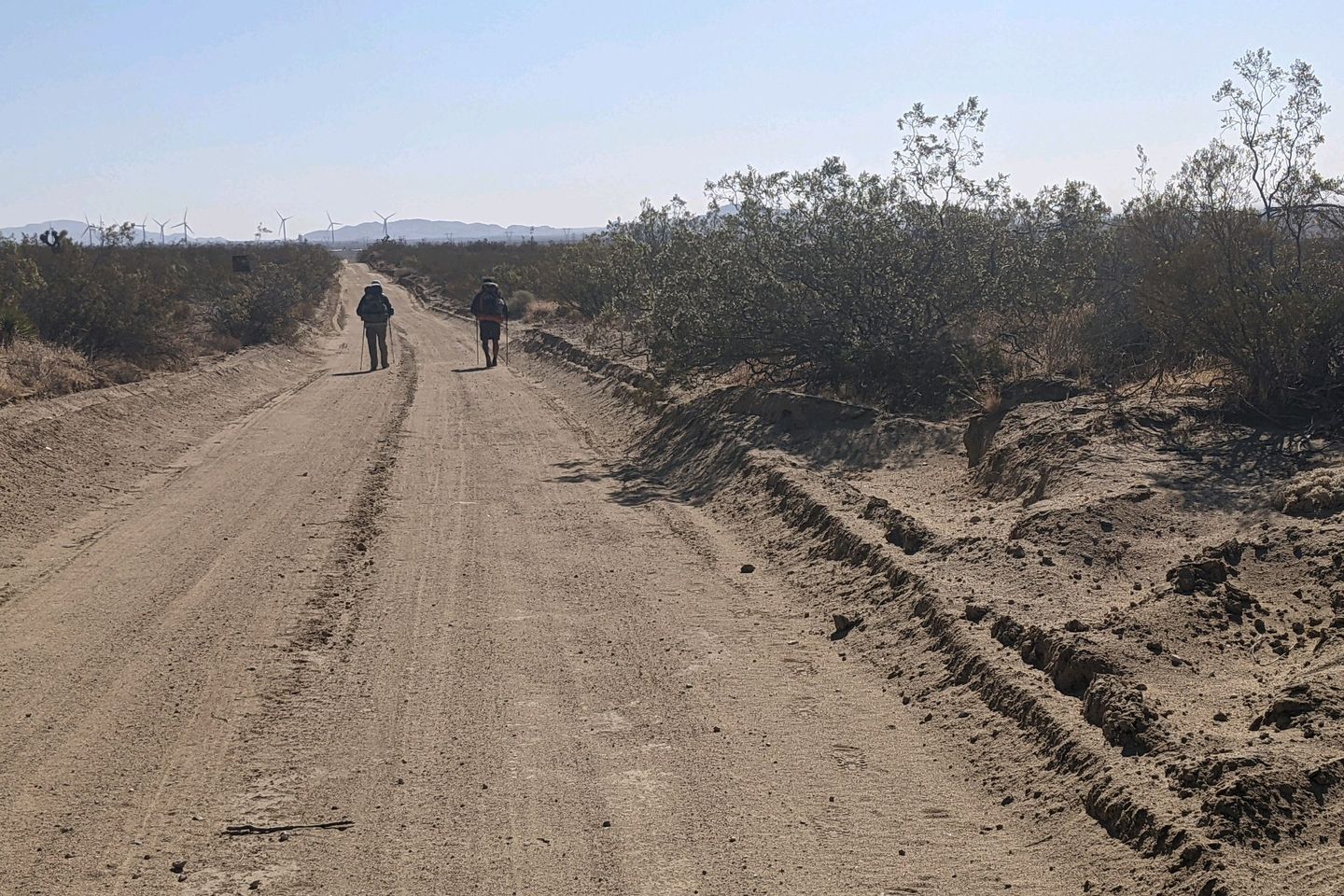
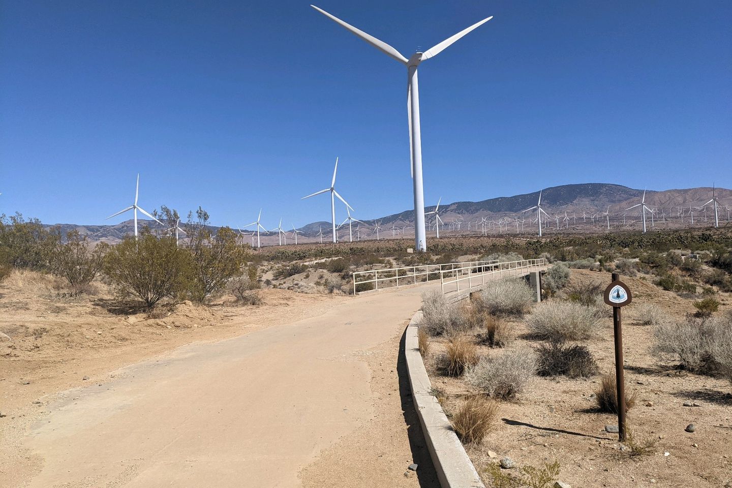
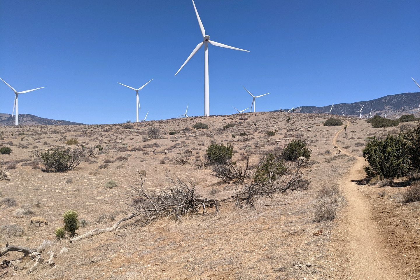
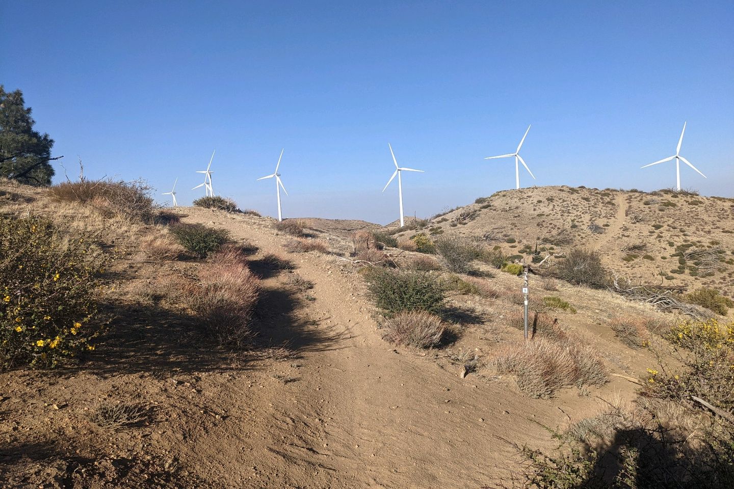
After the water source, the incline does increase substantially, and so does the wind. The first windmills of the Tehachapi Pass Wind Farm start to appear around us, spinning at about the maximum rate their generators will allow, making a quiet but constant whooshing sound. First we see a few, then a few dozen, and finally hundreds of the windmills as we climb.
I notice that the weather app on my phone has placed a "High Wind Warning" alert on the lock screen, but I don't have cell service now to check the details. So, thanks for the heads up....
As we climb, the wind does become insanely strong. Based on my long experience and extensive meteorological training, I estimate the winds were steady at 45 knits with gusts to 70.
Just kidding. I don't know a darn thing about estimating wind speed. I just know that I was, at various times, blown sideways, backwards, and forwards. I frequently had to use my trekking poles as braces to avoid being knocked off my feet.
I do finally reach a high point and start to descend into a canyon, which gives me a bit of a respite. The Trail moves sharply downward, hugging the canyon wall and eventually delivers me to Tyler Horse Camp, a small flat spot at the head of the canyon, hard by a very slowly flowing stream if water that may sometimes be more substantial but is now barely a trickle.
On the flat spot are four hikers, all asleep. I recognize Legs, Unstoppable, and Wiggles but not the fourth guy. I know they hiked out of Hikertown last night.
Even though I'm still not feeling very thirsty, I know I've hiked 23 miles today and I better drink so I suck down 2 liters if water with some snacks, and refill the bottles from the stream using my dipper to pull water from the very shallow pools and transfer it to the bottles. It takes me a few minutes to get the job done, and during that time both Kitty and Resupply show up, which is odd because I know they left Hikertown a couple hours ahead of me this morning and I definitely didn't pass them on the Trail.
As it turns out, Kitty dropped his phone somewhere this morning and he and Resupply turned around to look for it and then took a wrong turn. They did eventually find their way back to the Trail and the phone, but it was definitely a setback in their progress. Thank God Kitty found his phone, though. We are all so dependent on our devices for everything from photography, to supply orders, to navigation. Losing one's phone out here wouldn't quite be a matter of life or death, but it would be a pretty big deal.
By the time I'm done getting water and chatting with Kitty, a couple of the sleeping guys--Legs and Wiggles--have awakened and hit the Trail again. I'm the next guy out.
As you would expect, coming off a stream, the Trail rises steeply, again hugging the wall if the canyon closely. As we climb, the wind also starts to increase, and pretty soon it's back to the same intensity it was before we entered the canyon.
This Trail surface is in pretty had repair. In the past, the this particular footpath has been carved into the surface of a hill, basically making a long ledge on which to walk. But, given the soft, sandy soil, dry conditions, and lack of maintenance, the Trail has eroded significantly. At some points, it's not even recognizable as a trail anymore. So, in addition to the wind, add tricky navigation and ankle deep sand.
Also, some of that sand is being picked up by the wind and flung in our faces. So, basically, we're being sandblasted by the Trail itself! See, this is the kind of entertainment money can't buy.
This turns out to be another one of the PCT's patented climbs that will not culminate, passing from one hill to the next, higher, hill endlessly.
There are some great views but progress is exhausting, and I am happy to come upon a camp site with an undocumented water cache and a couple of metal boxes filled with goodies, including homemade cookies (at mile 549). There are folding chairs to sit on, and a couple rings of chaparral around the site to form a wind-break. This is awesome and unexpected!
Wiggles is already there, relaxing and enjoying a snack. We chat for a while, and I start to think about how I want the day to end. I've already done a tad over 30 miles, and it's very tempting to call it a day and camp here at this lovely spot. On the other hand, it's pretty high up, and the wind is likely to only get worse. If I can get over the hump and get lower, maybe I won't have to endure yet a third freezing, windy night in a row.
It's about 1630 so I have a little less than 4 hours of light left... Hmmm. As nice as the bird in my hand is, I decide to go abandon it for the two in the bush. I put on my pack and head out once again into the sandblaster
In another half an hour, the climb finally reached a top and starts downward. The Trail condition improves, but the wind doesn't abate much. If anything, it's blowing harder. I really get battered, but I make surprisingly good progress.
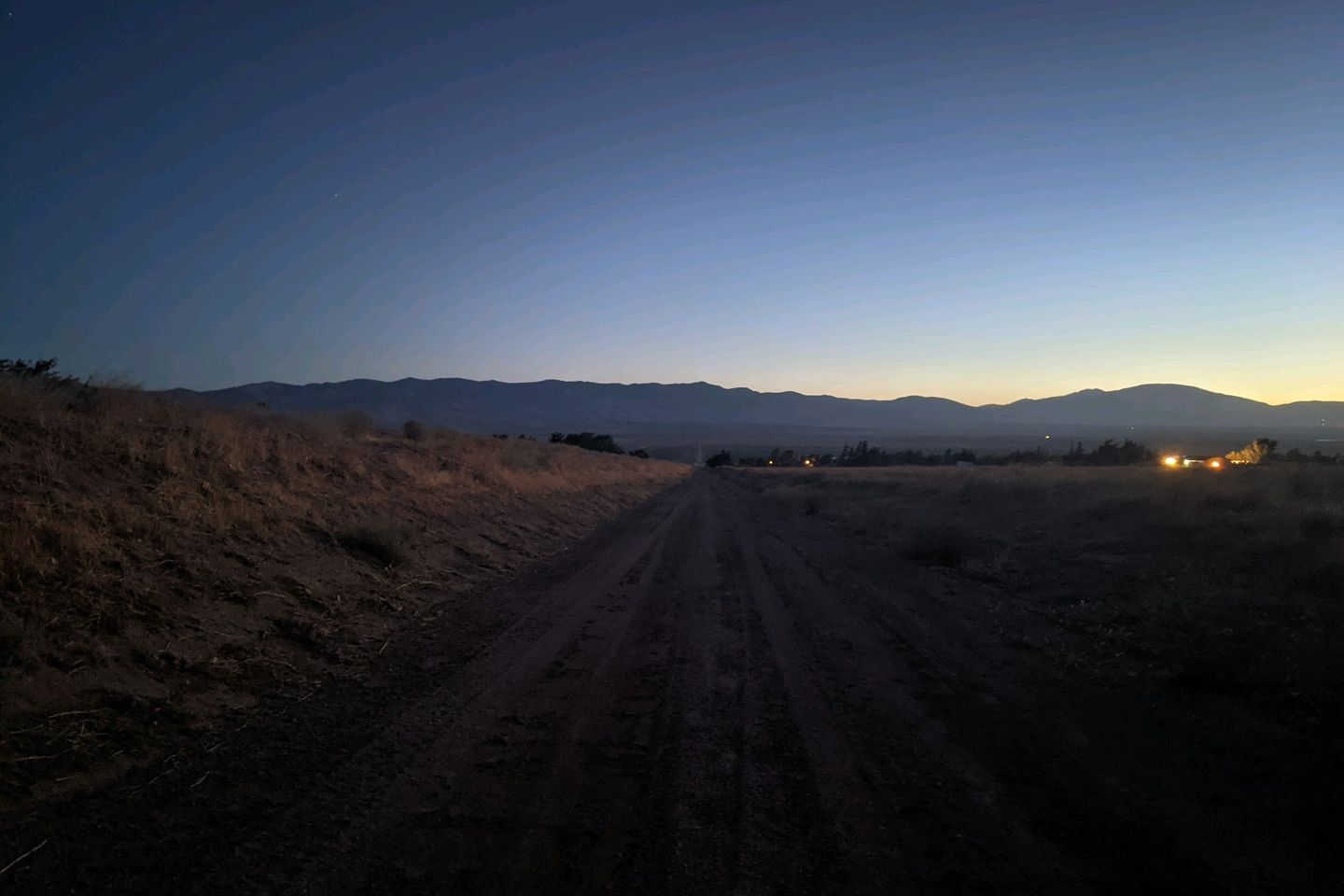
By just after 2000, I find myself at a small spot near Tehachapi Willow Road, the low point on this segment.
I've hiked 40.6 miles today, it's going to be dark soon, and this is probably my best bet to get some sleep out of the wind.
I set up my camp as quickly as possible and just eat some snack items before crawling under my quilt. Another hiker who beat me here tries to engage me in conversation, something I usually enjoy at the end of the day, but I am just too exhausted to participate.
I am shocked to have hiked 40 miles in a day, and I doubt I ever will again. It was mainly possible only because the first 17 miles of the day were so easy. That probably won't happen again. Ever.
Anyway, I'm safe, driy, and wsrm-ish here in the Tehachapi Pass tonight, and tomorrow I'll get into the town of Tehachapi for a break.
Night, all!
Miles Hiked Today: 40.6 (New PR, probably forever) Total miles hiked: 558.2
Sea Otter Fact of the Day:. Sea otters can be born with coloration ranging from dark chocolate brown to golden blonde
Previous: May 19th, 2021
Next: May 21st, 2021


