Want to document and share your hike with friends and family?
Our App is Available for iOS!
Download it now!
Day 15--Campsite South of I-10 to Campsite North of Whitewater Preserve, in Sand-to-Snow National Monument
Day 15--Campsite South of I-10 to Campsite North of Whitewater Preserve, in Sand-to-Snow National Monument
Otter, A Procrastinor's Journey(s) May 5th, 2021
Written, Tuesday, 4 May 2021
Had a terrible night's sleep last night. In last night's late stop and "small world surprise" I hadn't noticed that the spot I layrd down my ground sheet (a 7-foot length of Tyvek) was ever so slightly sloped. Thus I spent the whole night sliding down the ground sheet and crawling back up to the top.
That's another one of those things that wasn't funny at the time, but in retrospect...
Anyway, when 0330 rolled around, I didn't mind sitting up and starting to pack, doing some planning for the day, rating my breakfast as quietly as possible, and getting ready to go. As soon as Good Things woke up, I folded up my ground sheet, which creates a horrendous racket, stow it in the mesh pocket of my pack, and get myself on the Trail in darkness.
Today is likely to be my hottest day on Trail which is why I I have chosen today to slog across the desert floor. I am such a clever planner!
But before I can get to the slog, I still have to get myself off this darn mountain, which involves yet another 1,800 foot descent. Along the way, as the sun is just starting to peek over the crest of the mountains, Good Things passes me like I am standing still. Don't know why I didn't notice this last night, but he is about 6'5", and he has the stride of a speed horse at full gallop.
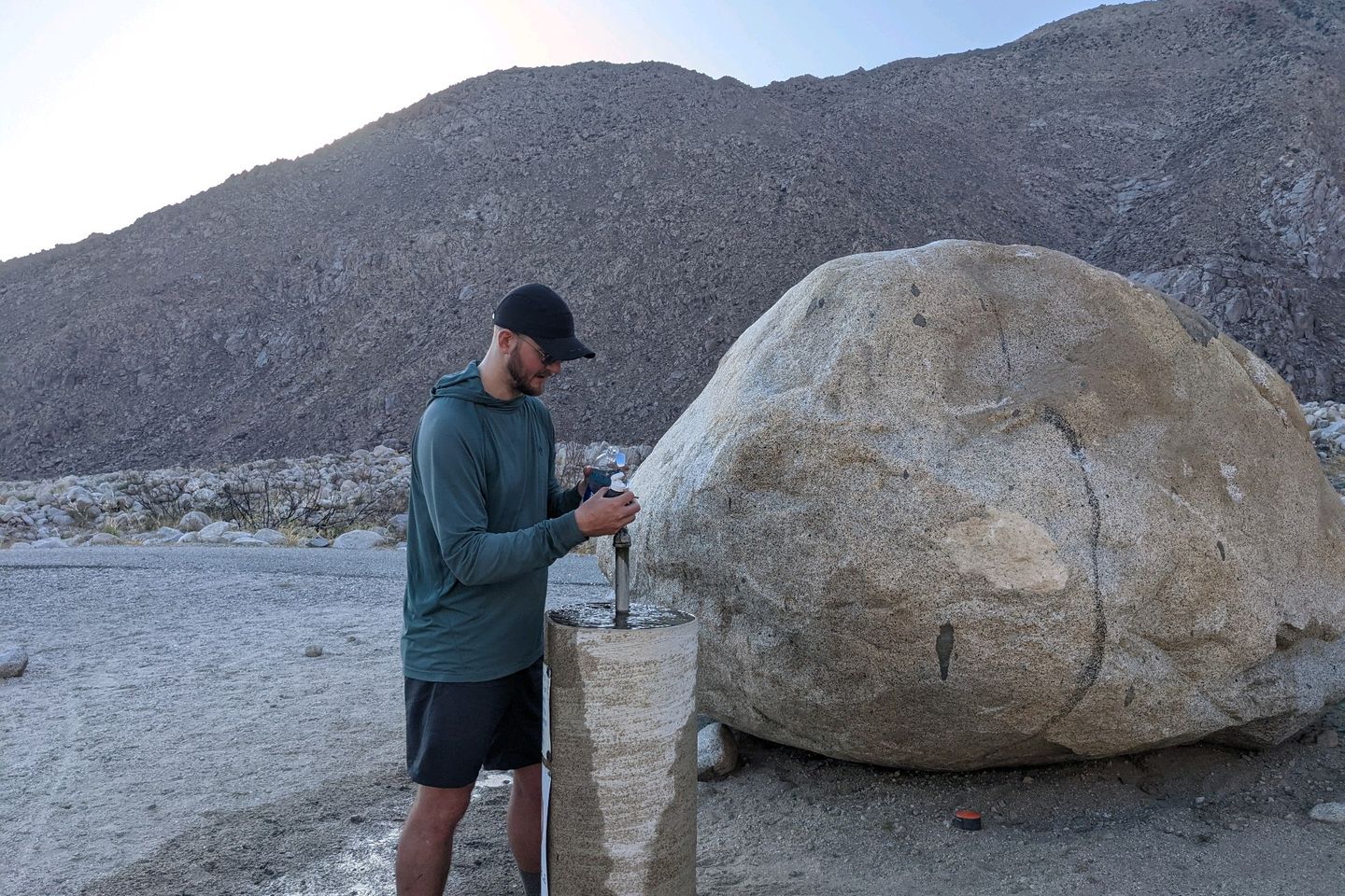
The only reason I catch up with him is that we have to stop for water at the bottom of the hill, where the California Desert Water District has placed an honest-to-goodness water fountain, primarily for the benefit of us hikers.
The water is cold and probably tasty, but it's labeled as requiring treatment or filtration do I don't get to taste it in its natural state. Once again, I drink a couple of liters there and load up 4 liters to carry. Thank you, CDWF!
Good Things is done before me and goes striding off like Secretariat winning the Belmont. I really envy that hiking ability.
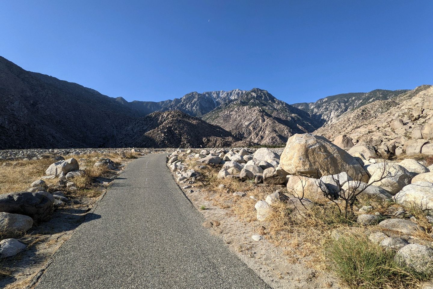
Just as the shadow line creeps across the fountain, putting me in full sun, I start heading into the desert. The first couple of miles are on blacktop road, and I am grateful that it hasn't yet heated up.
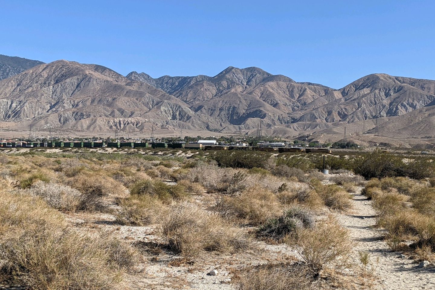
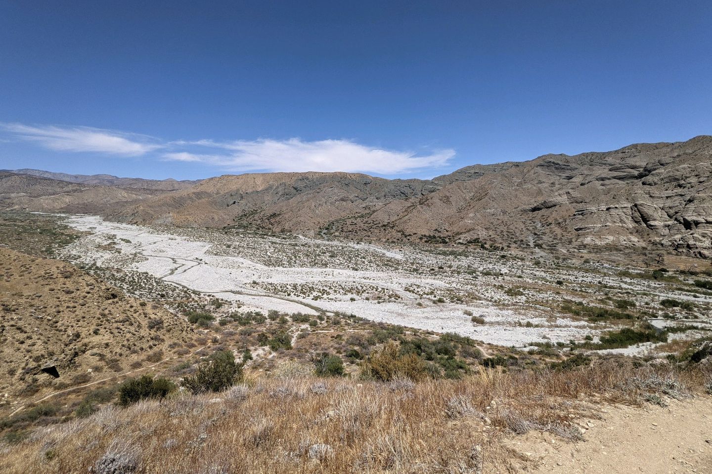
Departing the blacktop near a small community in the middle of nowhere, I step into the true desert and start trudging toward an underpasd of I-10, 3 miles down the Trail. And trudge is the right word. Thr treadway just becomes a line of footproin deep, coarse sand. Occasionally, there is a tall stake for navigational guidance, but mostly it's a very slow push through the sand. And, Lord a'mighty, I feel the temperature rising!
As I'm moving forward at a slug's pace, a mile-long train with 5 locomotives passes in front of me, carrying eho knows how tons of who knows what goods eastward on this river of commerce
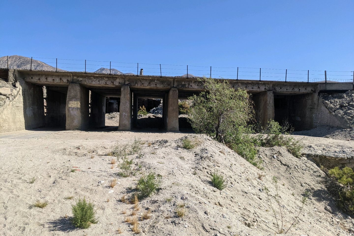
It takes me about an hour and a half to reach the relative cool of the underpass. The underpass itself is about what you would expect from a highway underpass--filthy, trash-strewn, and noisy. I think of my foreign hiking companions and am just thrilled we can show them the most beautiful parts of our country...
At about 1,200 feet MSL, the underpass is the lowest point we have been on the Trail so far, and the lowest altitude we will be at for many hundreds of miles.
And that's how the PCT goes. Yesterday, I was at the highest altitude on the PCT so far (8,943 feet MSL), and today I'm at 1,200. That is, I am told, the longest single descent on the entire PCT for northbound hikers.
One nice surprise: there is a small water cache, so I drink another liter and a half of my water and refill from the cache. Thank you whichever wonderful trail angel thought of us on this warm day.
While drinking and refilling, I meet another hiker who goes by the name White Rabbit. We chat for a few minutes, and it turns out he was a Ranger for 8 years (and 7 trips to Afghanistan) before he left the Army to head back to college in 2017. Since graduating in 2020, he has been touring Brazil and planning a sustainable farm with his brother.
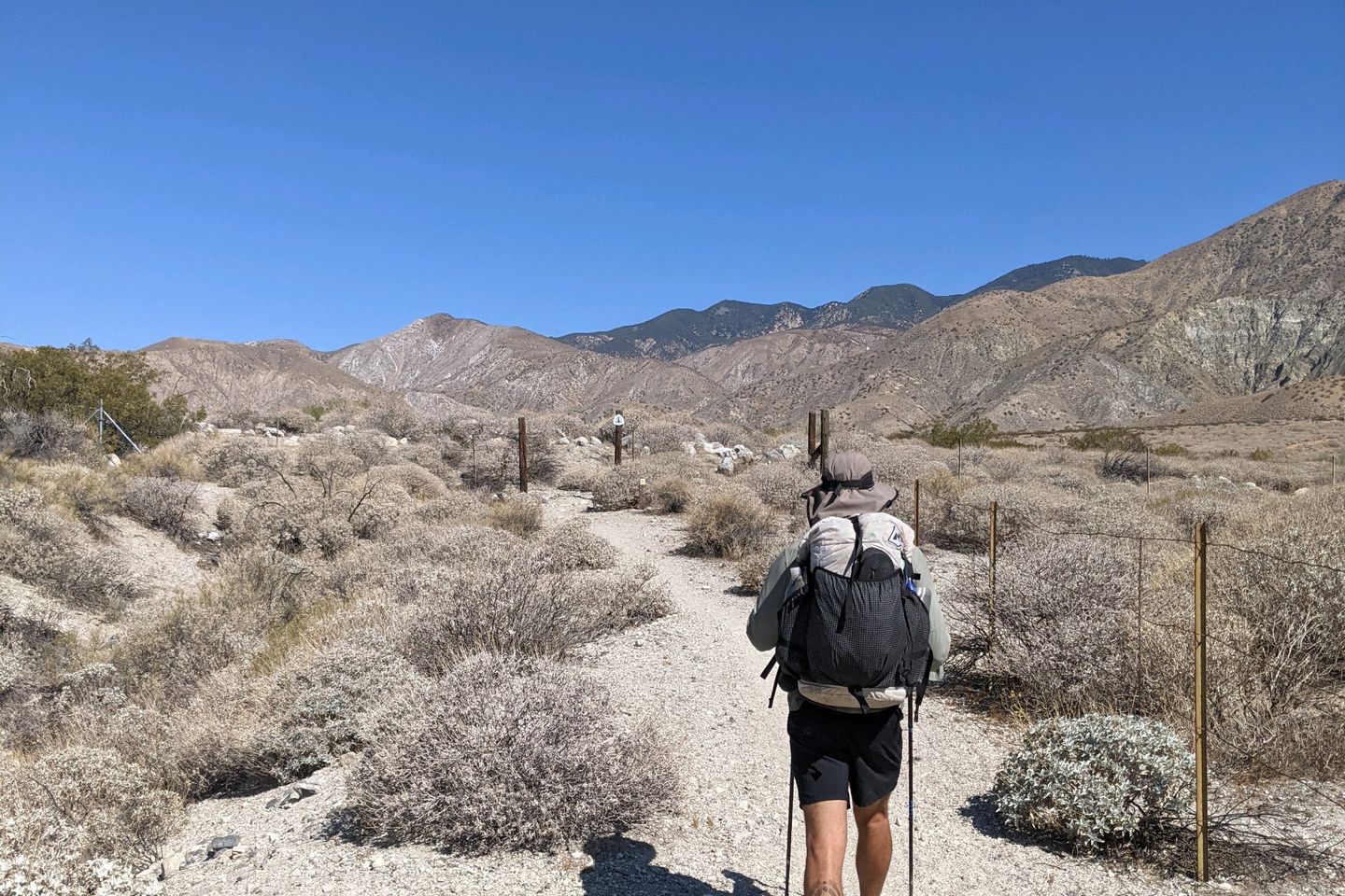
We leave the underpass together, to begin what I'm also told us the longest ascent for northbound PCT hikers, with me in trail and barely keeping up with him. But he seems like he wants to converse, and he continues to ask me questions, and I continue to answer between my gasps for air.
Finally, I realize that he is just being kind to me, and I tell him, "Hey, no need to hang back for me. If you need to make some miles, press in."
Over his shoulder, he says, "Oh. Okay. Hope to see you down the Trail, brother!" And he's off in a cloud of dust. Another hiker I'll never see again.
But no more than 10 minutes later, I round a corner and find White Rabbit stopped, talking to a southbound hiker. I'm going to walk past without interrupting, but White Rabbit calls me over and introduces me to one of his battalion commanders from 1st Ranger Battalion. What's more, his former commander rememberd White Rabbit from nearly 6 years ago. Battalions are large organizations, so White Rabbit must have been pretty good.
While the two men continue to catch up, I excuse myself and start moving ahead (and upward). The incline isn't terribly steep, but in the heat, and with a full pack and a lot of water, it feels that way.
About 20 minutes later, White Rabbit speeds by me again with a cheery, 'Hey, Otter, can you believe that happened? That's amazing! Hope to see you down the Trail!" Another cloud of dust.
The Trail really is a funnel that forces people together, and it's amazing how often it forces these serendipitous connections with people from our past.
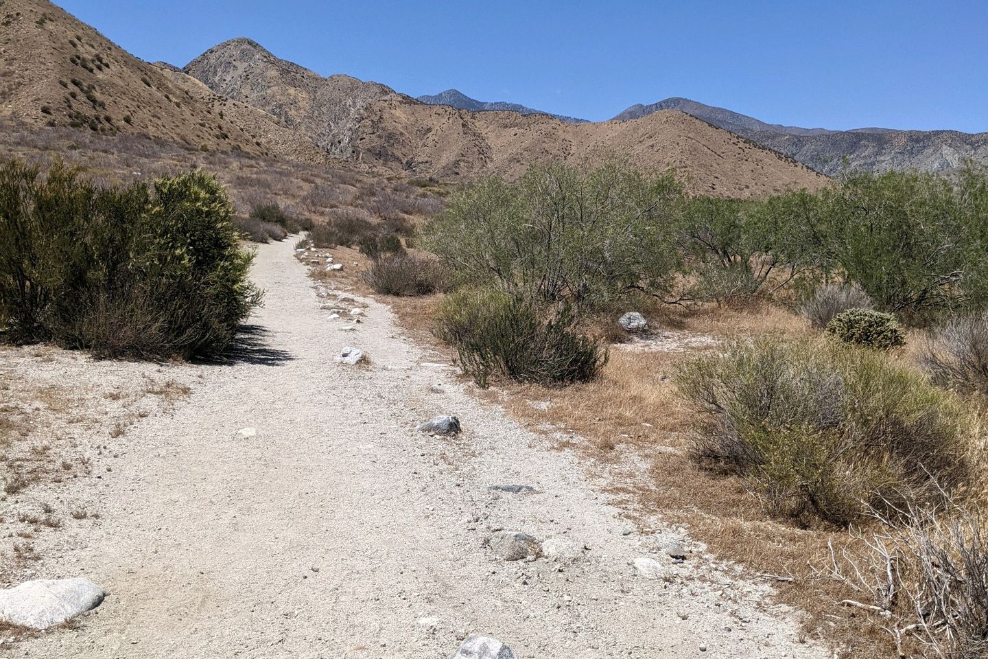
This afternoon's trail turns very rocky and undulates up and down (but mostly up, on yhathis long, long meta-climb) as we start to ascend the flank of the San Bernardino mountain range. Man, it is hot! I can feel the heat radiating up from the Trail.
I hike several more miles and reach a junction. A side trail to the right carries hikers to the visitors center for the Whitewater Preserve (a small lake, formed by the waters from Whitewater Creek, which I can't see but I know is there.
In spite of the heat, I turn left and continue hiking for another 1.4 miles through a pathway that is alternately rocky or sandy but always sweltering. It's still hot.
Finally, about 1400, I find what I be been looking for, the spot where the PCT crosses Whitewater Creek. It's broad and sunny, but there's also some shade provided by a treed hillock. At least a dozen hikers are lounging in the shade, taking turns immersing themselves in the cool creek water, refilling water, chatting, and avoiding hiking on in the heat.
It was so nice to rest and cool off for awhile. I hopped in the creek, fully dressed, to wash as much of the sweat out of my clothes as I could. As I air dried, I chatted with a pair of hikers, Jack from Minneapolis and Peanut Butter from Washington state. They're friends from the Peace Corps, and they're section hiking the first 450 miles of the PCT before Peanut Butter starts med school and Jack goes off to his next job with Doctors Without Borders.
Half-Hook, who stayed with us in Idyllwild was also here. He's doing well.
I enjoy myself so much that I forget to take any pictures, even though I linger for a full hour and a half.
Finally, around 1530, I'm dry, and I know I need to get back out there. I get my pack back on, and head out, picking my way over the hot rocks.
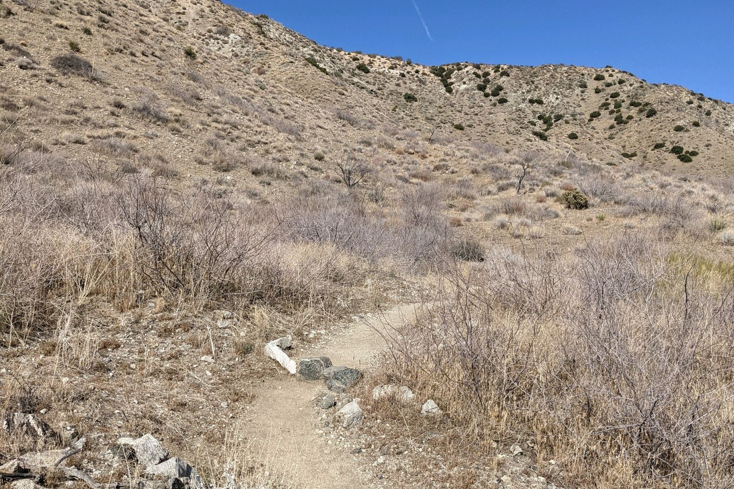
Shortly after the creek, the Trail again turns definitely upward on a baking hard-packed trail. Every step carries me and my nearly full pack upward as it follows the contours of this mountain.
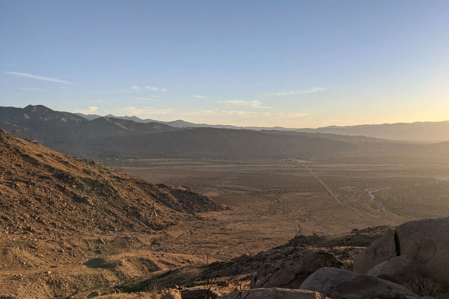
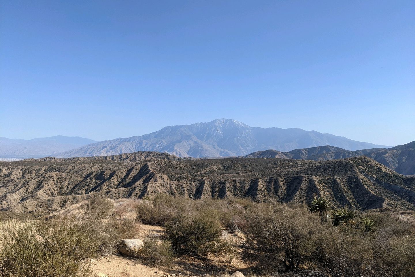
At last, almost 3 miles past the creek, I get to a high spot where there is a small camp site Even though it's only about 1700, I've done 20 miles on the hottest day of the hike so far. I don't feel bad for stopping a little early. Looking backwards, I can see the wind farm and desert floor we passed through early today and, beyond that, the San Jacinto range which took us so long to cross, a truly majestic sight from here.
I decide I'll cowboy camp so no need to set up my tent. Over the next 90 minutes, I'm passed by all the hikers I left behind at the creek. They are all pressing on to another water source a couple miles ahead.
Surprisingly, Good Things shows up and decides to stay. I passed him, without knowing it, while he was relaxing at the visitors center (the side trail I didn't take).
Oh, I almost forgot. Happy Star Wars Day! May the 4th be with you!
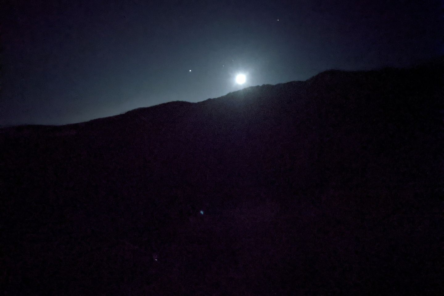
I'm safe, dry, and warm on this mountain under the stars above.
Miles hiked today: 20.8 Total miles hiked: 223.5
Sea Otter Fact of the Day: In addition to their hard teeth to crack open prey, sea otters may use a rock as a hammer or anvil to bash shelled prey open. This puts them on the short list of animal known to use tools.
Previous: May 4th, 2021
Next: May 5th, 2021


