
Want to document and share your hike with friends and family?
Our App is Available for iOS and Android!
Download it now!
Day 4--Mount Laguna to Campsite on Granite Mountain
Day 4--Mount Laguna to Campsite on Granite Mountain
Otter, A Procrastinor's Journey(s) Apr 25th, 2021
Written Friday, 23 April 2021
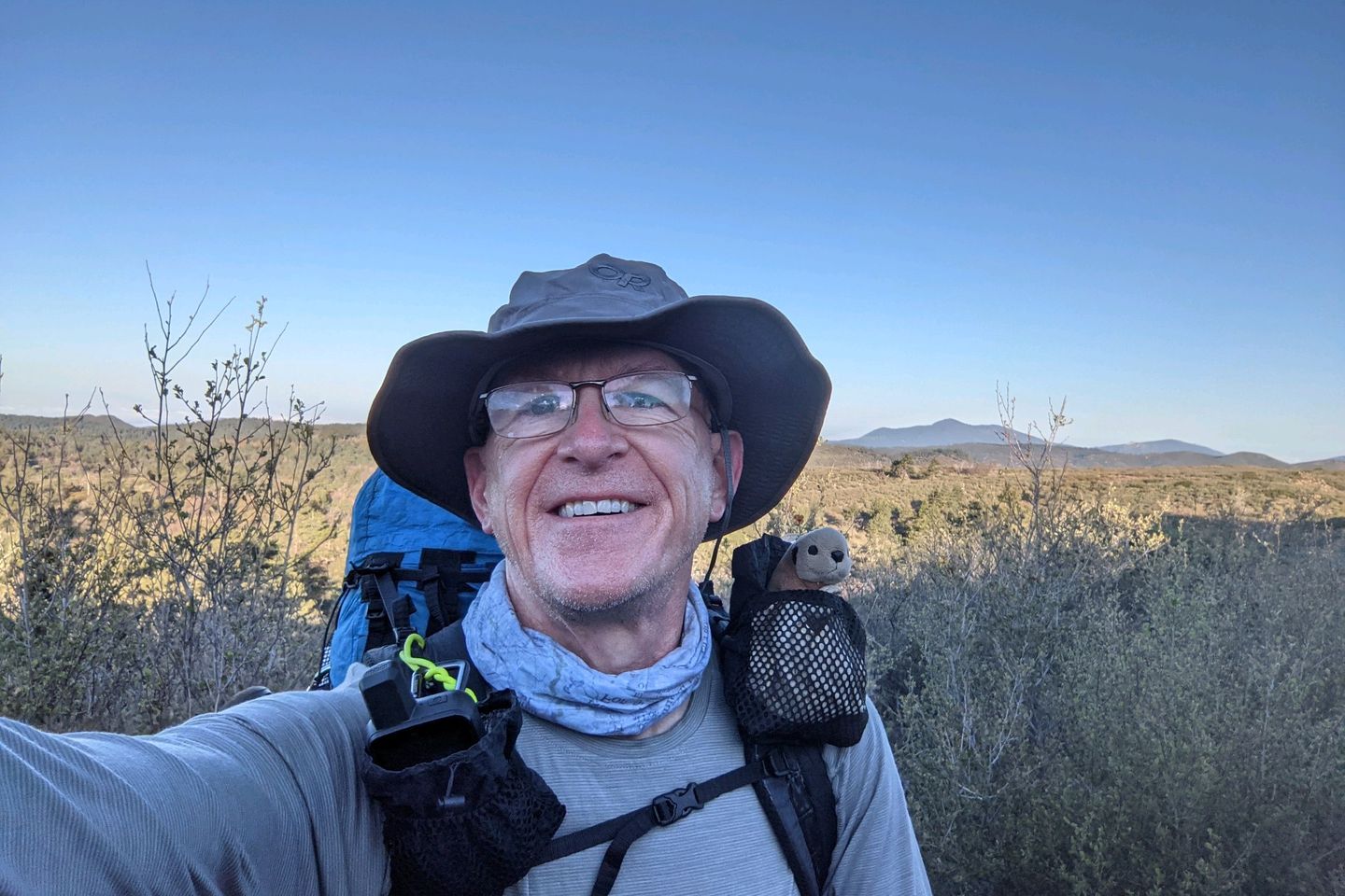
Today was, I'm pretty sure, one of the top 3 hiking days I've had. Ever.
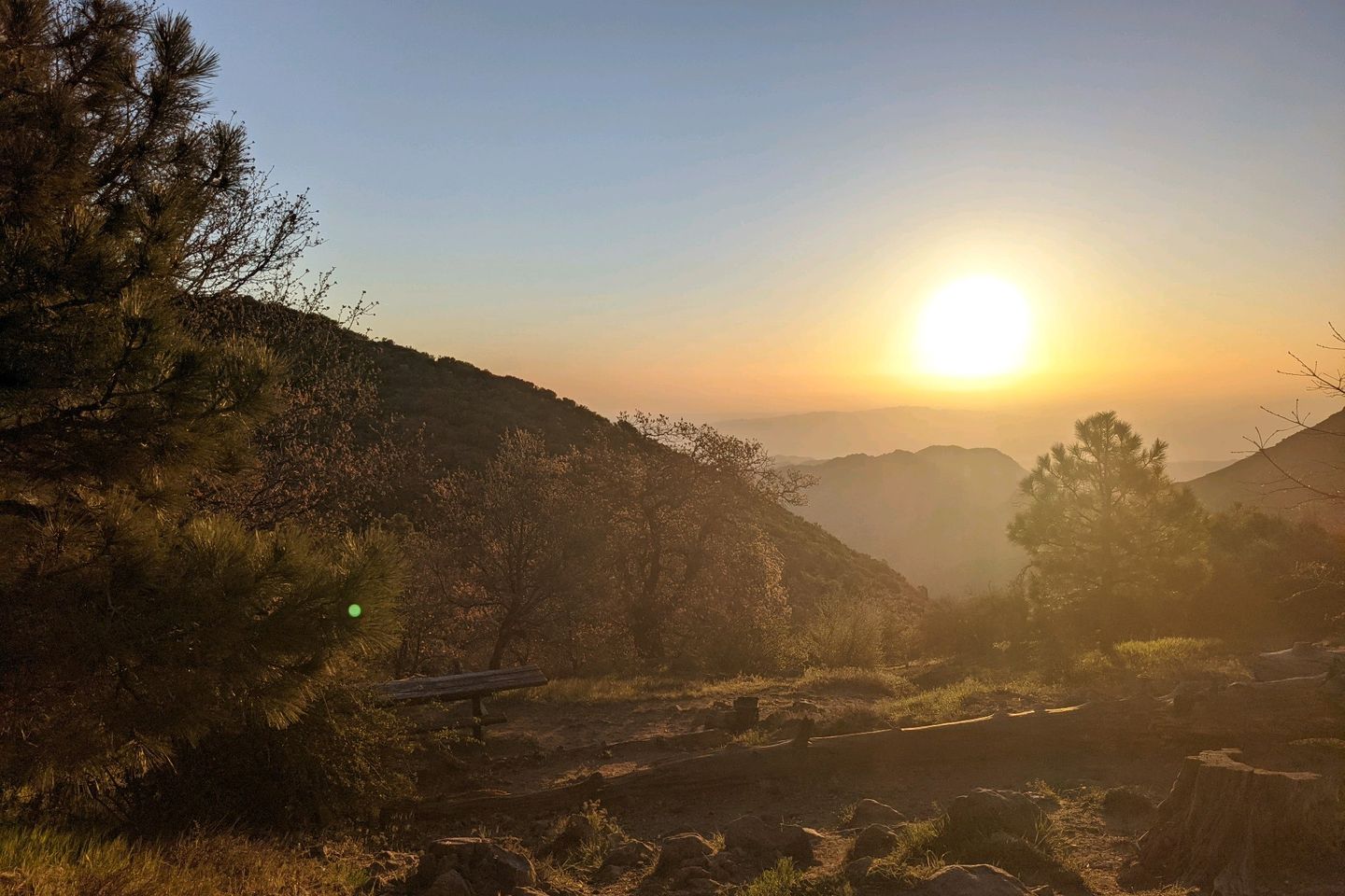
I didn't sleep particularly well last night, but was up early, and the packing was quick. Silke and I were out the door at 0620 and back on the Trail by 0630, just as the sun was breaking the horizon in the east.
The mist had rolled in again overnight so it was a tad chilly, but a good pace kept me warm. On a clear day, we would have been able to see what remains of the old Mount Laguna Air Force Station (a radar site, I think), but with the fog and mist, I didn't spot anything.
In a few minutes, Silke asked, "Would you mind much if I pick up the pace a little and move out? Just to warm the muscles..."
The nicest way I have ever been called slow... 😊
Silke is a very strong hiker, quite a bit faster than me so we said our farewells. Not too long after, I couldn't see her anymore as she zoomed ahead.
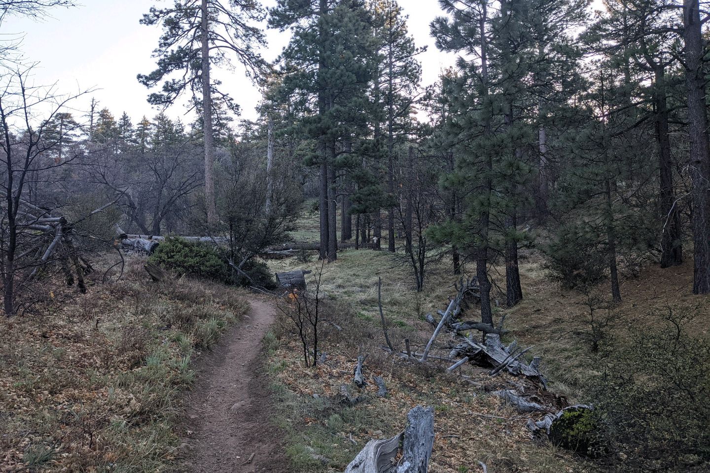
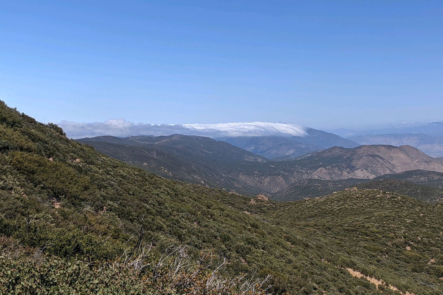
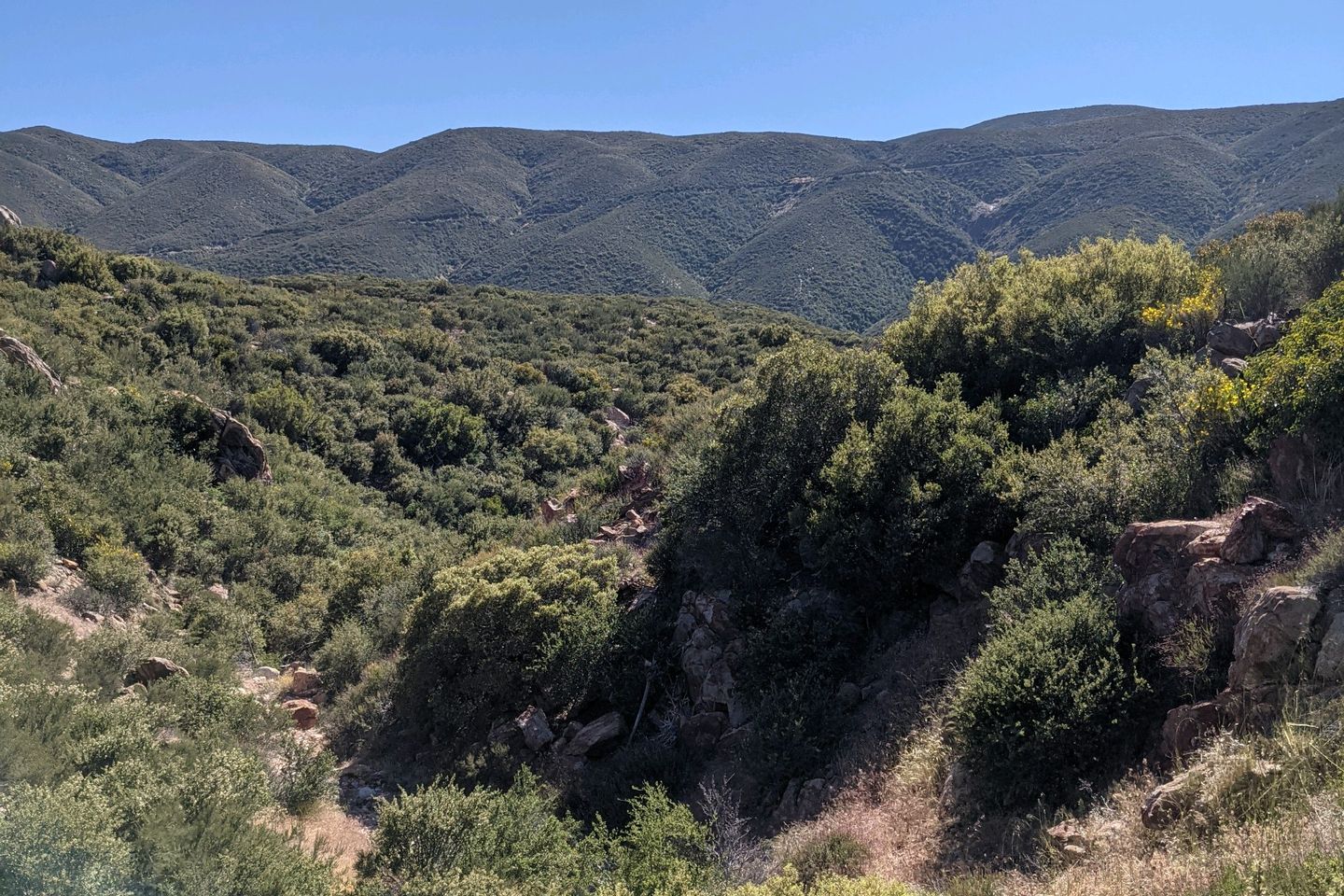
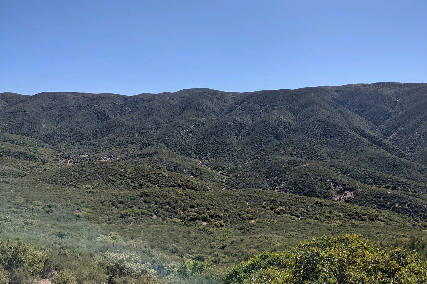
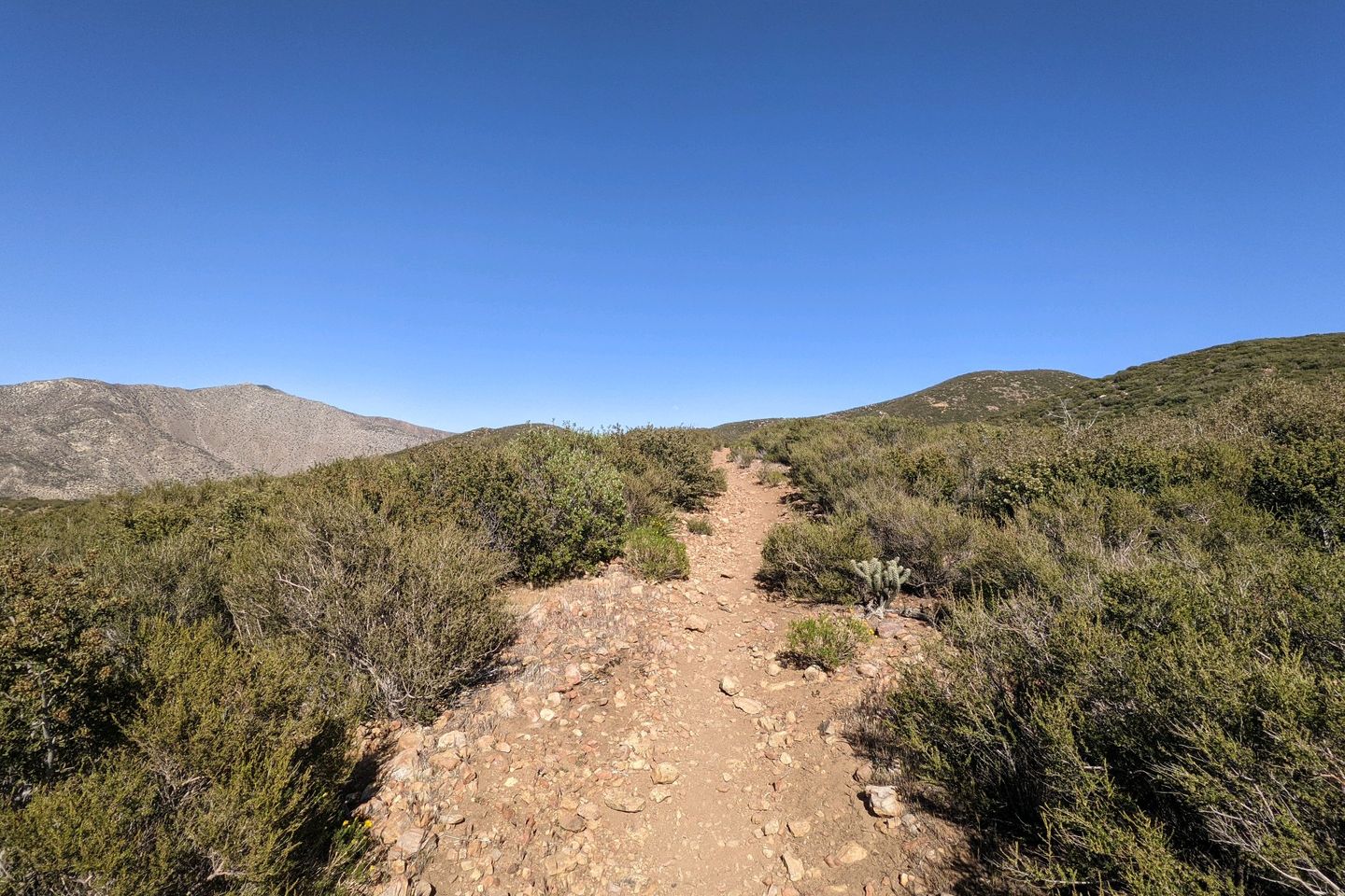
The next 3 1/2 hours were spent in a gradual reverse of yesterday's ecological patterns. Moving over fairly flat ground, the evergreen forest slowly faded back into chaparral, and the mist burned off, opening up a view eastward into Storm Valley.
An hour into the hike, I ran across another hiker, whose trail name is Longshot. We chatted as we hiked along. He's from Philadelphia, works in health care process management, and this is his first long-distance hike. Seemed pretty strong to me.
I paid almost no attention to time or distance on this lovely, cool, sunny morning. Thus I was totally surprised to arrive at Pioneer Mail Picnic Area at almost exactly 1000. That means we covered almost 10 miles in 3 1/2 hours! For me, that's a blistering pace.
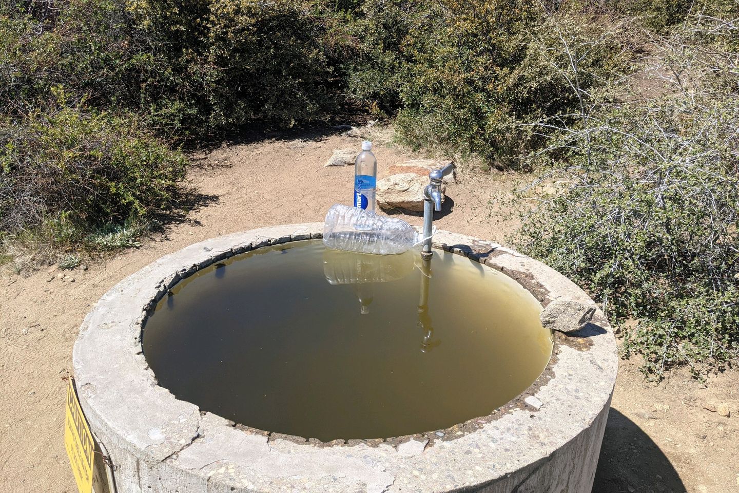
Of course, Silke had been here for half an hour already, and she had found Florian and Lauren. We ate a quick lunch together as Florian and Lauren dried their tents in the sun, and I filled and treated 4 liters of water for the Trail ahead. This is the last reliable water for 24 miles, so I want to carry as much as I can. Of course, I pound a liter and a half with my lunch too.
I'm ready to go before everyone else. Pack on. Head up the Trail.
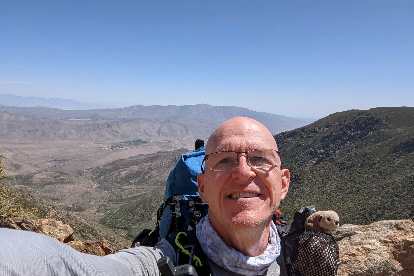
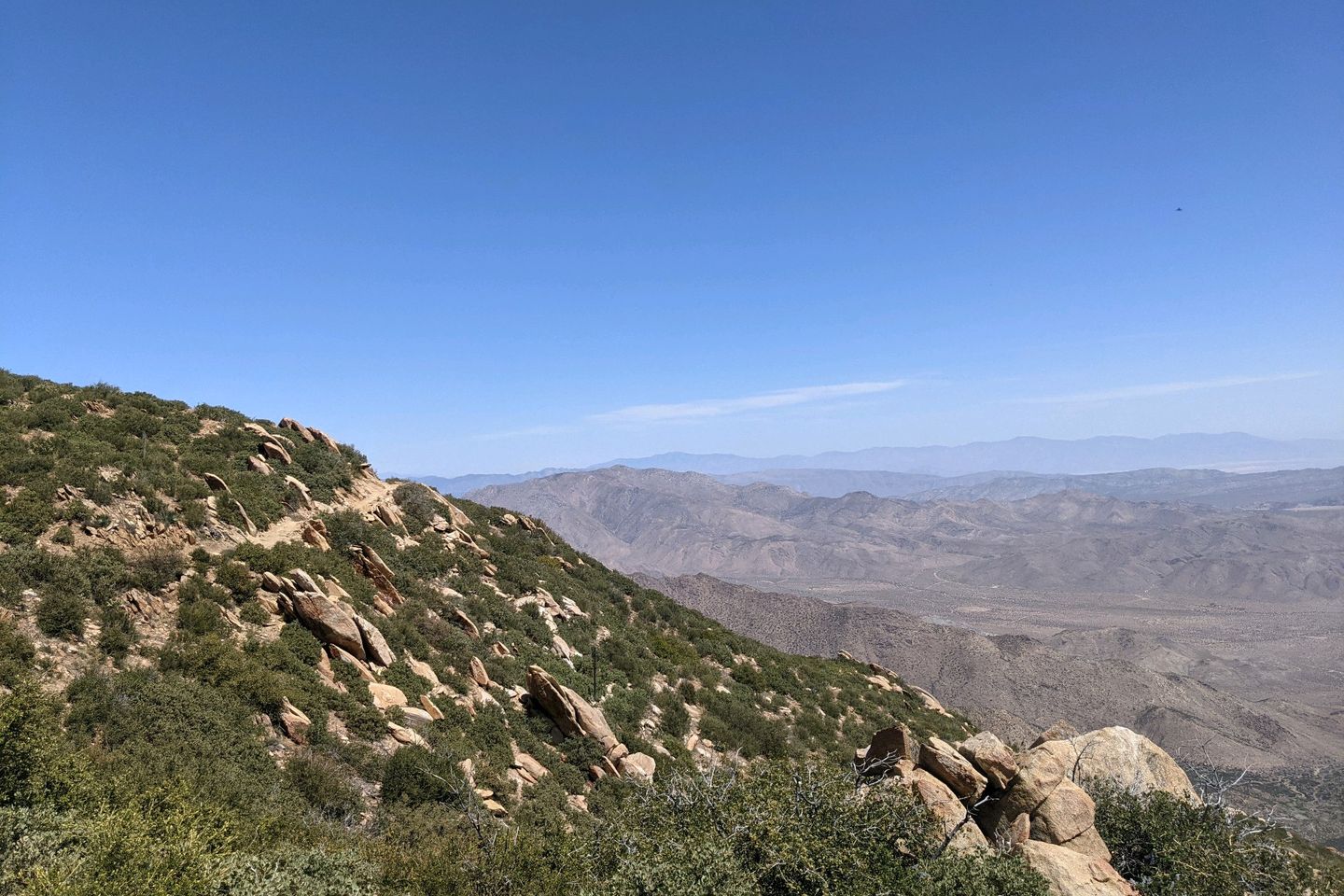
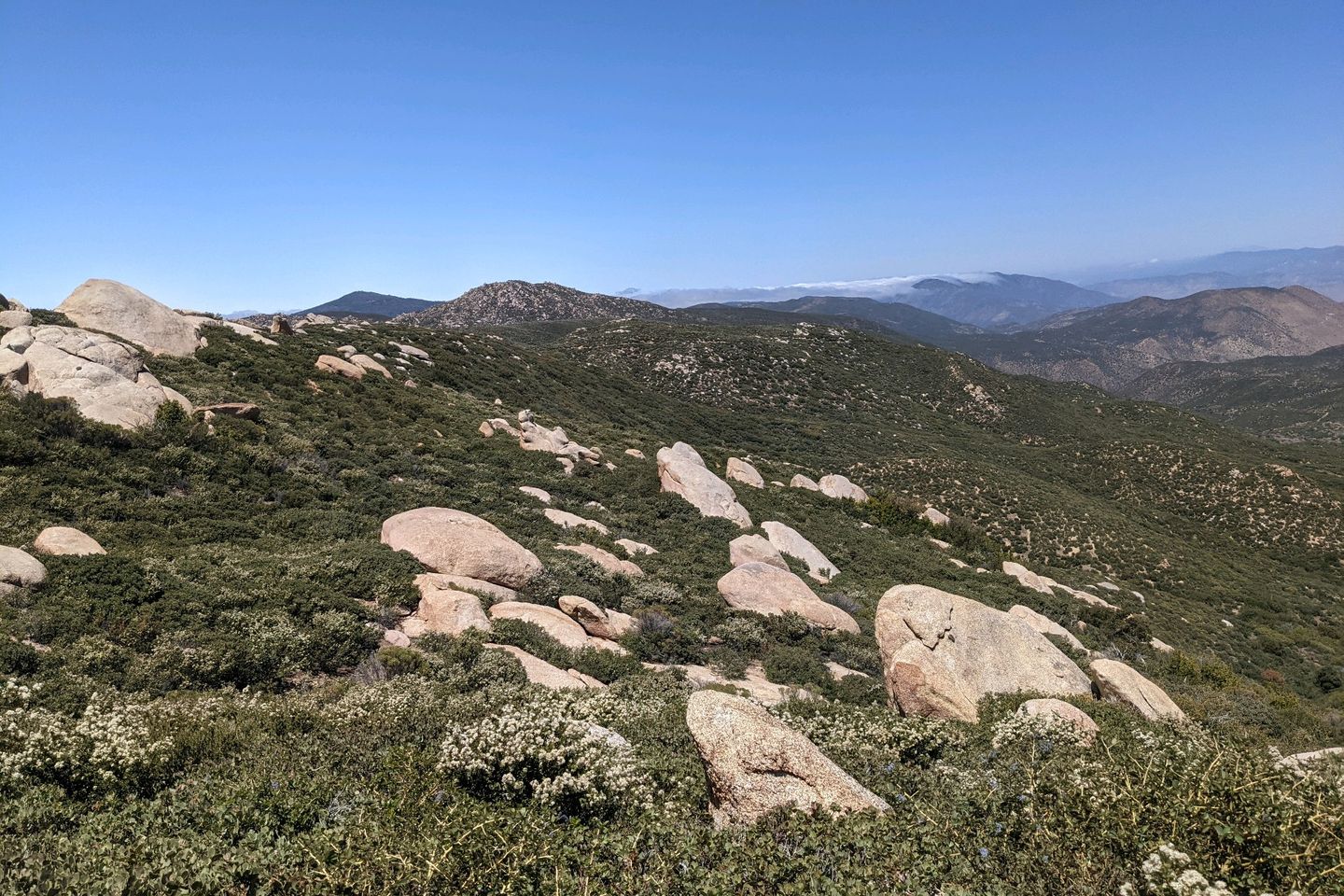
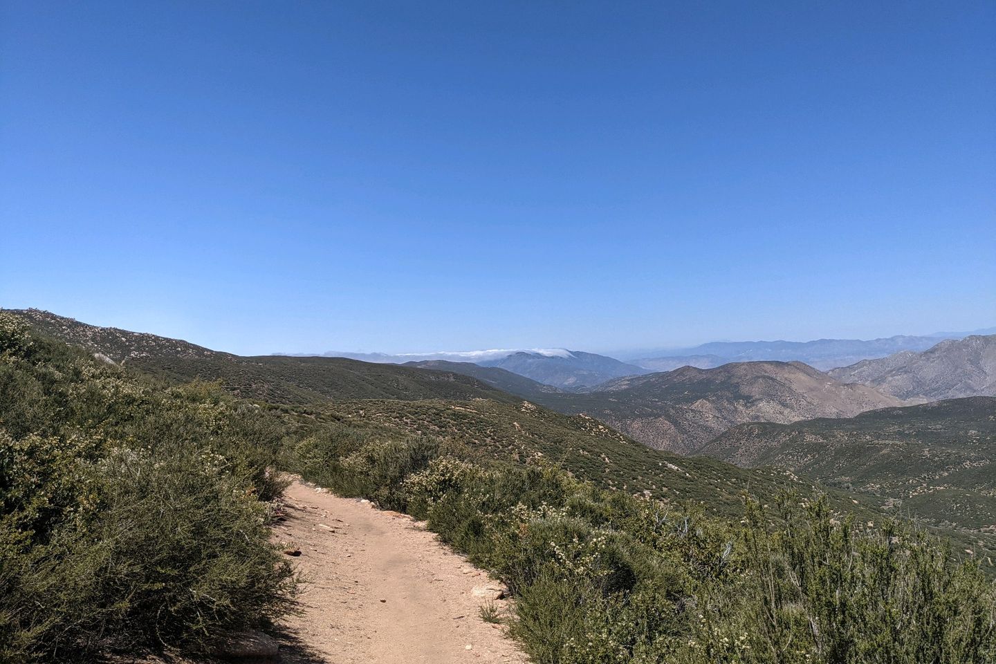
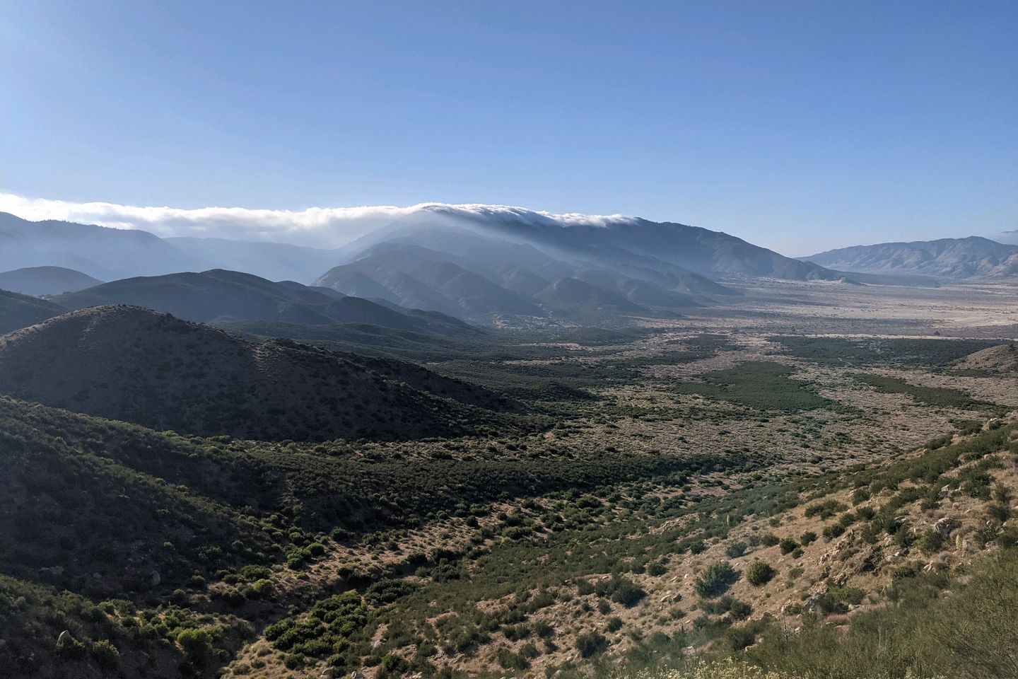
The next 11-12 miles of Trail are almost a blur. The path follows the contours of Garnet , Oriflame, and Chariot Mountains, undulating upwards and downwards, but mostly downwards. For nearly the entirety of this halting descent, I am on a ledge hewn out of the side of these mountains, with a full view of the desert valley below and other mountains in the distance. It's a true feast for the eyes.
As we progress, we pass by or through many interesting geological formations too, making me wish I knew more about geology so I could understand how these formations came to exist.
At the far end of Chariot Mountain, the Trail takes a sharp downward plunge, losing several hundred feet of elevation in about half a mile, at the end of which I stop for a snack and some water in a small pool of shade.
By now, it's 1530, and I am a little giddy about the scenery I've enjoyed so far and the distance I've covered--20-21 miles by now. I still feel great and press on.
The first half mile past my snack break is a steep, upward climb on a dirt road that gets me up to the Trail, now following a contour of Granite Mountain. The general ecosystem changes again too. The paths are a lot rockier. The scrub is a lot shorter, and, by and large, everything seems sparser and browner.
At some point around here, I also catch a hiker, Brandon, whom I have been slowly overhauling for the last hour. He steps aside to let me by, but then falls right into step behind me, and we chat as we hike. He's about 20, a self-professed ski bum, from Wausau WI who has already thru hikes the Superior Trail in northern Minnesota.
We pass a good camp spot, but it's only about 1645 so we decide to press on a bit to get closer to the town of Julian, which is the next town stop on the Trail. Another hour of hiking tonight will set us up for an easy trip to town tomorrow morning.
Pressing on, Brandon and I discuss the fact that we have both put in some miles and that we will sleep well tonight.
Not too long after this, I nearly meet disaster. The trail here is poorly maintained and seriously eroded, sloping to the downhill side. As I take a step into my left foot, I roll my ankle, which wouldn't normally be a big deal. But I try to plant my trekking pole in the ground to stabilize myself, and the eroded soil just collapses beneath my weight. I fall full force off the side of the Trail, thinking I am about to tumble down a long embankment.
Luckily, my downward progress is arrested by a sizable chaparral bush, whick, poky and bristly as it is, beats a cactus or a long fall.
I involuntarily unleash a stream of curses and extricate myself from the bush, only to look up at Brandon's horror-stricken face. I can't do anything but laugh. I know that must have looked funny. But I also know Brandon is thinking, "OMG, I'm going to have to take care of this random guy I just met who is old enough to be my grandpa."
I assure him I am okay, climb back onto the footpath and set out for camp.
Could have been bad. Wasn't.
Presently, we do arrive at a place where one hiker is already camped and there's room for two more tents. We decide to call it, a little after 1800.
The other hiker is a female, about my age, whose trail name is Condor. She mentions how much she is looking forward to going into Julian tomorrow and how luv she was to get a room.
Oops! It never occurred to me that I might need to reserve something ahead of time.
Luckily, I have cell service and use the time while my cold supper is soaking to call around to the various hotels in and around Julian, but there is nary a room to be had.
I'm about to give up when I think to check AirBnB. I find a place at n almost reasonable price, book it, and get confirmation from the host, all inside 20 minutes. Is technology awesome, or what?
As I'm hitting notes to myself before lights out, I realize I have hiked 28.4 miles today, which is, I believe, my second longest hiking day ever. And the people, the scenery, and the Trail itself were so engaging I barely noticed.
Oh, yeah, still had 3 liters of water left so, after supper, I'll still have a liter to carry me to town in the morning.
An amazing day all around and , near-disastet aside, certainly one of the best days I've had on an trail at any time.
I'm safe, dry, and warm in my tent tonight, on the skirt of Granite Mountain, looking out over the desert.
Miles hiked today: 28.4 Total miles hiked: 71.2
Sea Otter Fact of the Day: The species name for the sea otter is Enhydra Lutris
Previous: Apr 25th, 2021
Next: Apr 25th, 2021


