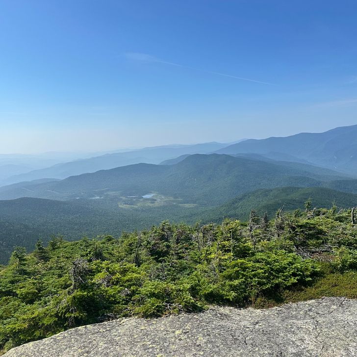
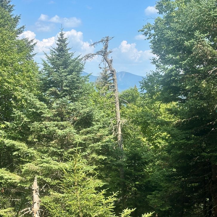
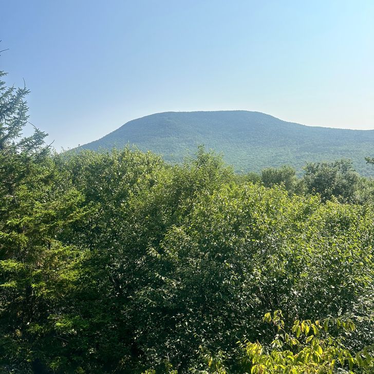
2025 Appalachian Trail Thru-hike


About This Hike
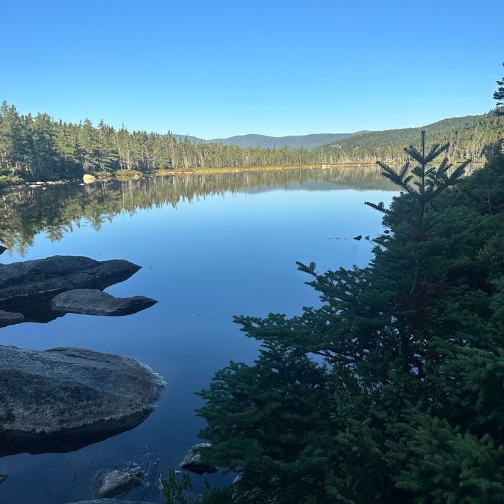
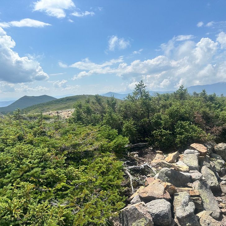
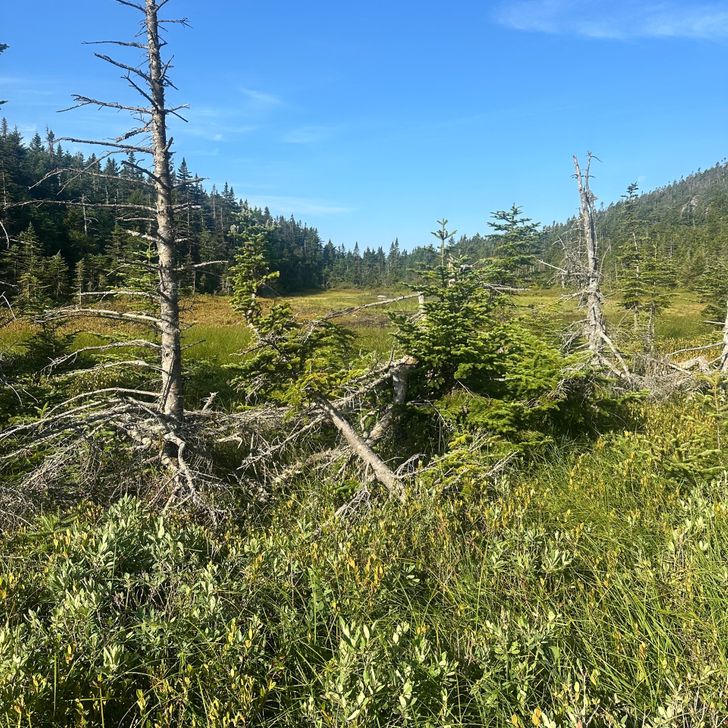
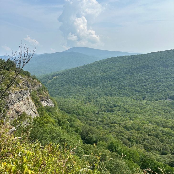
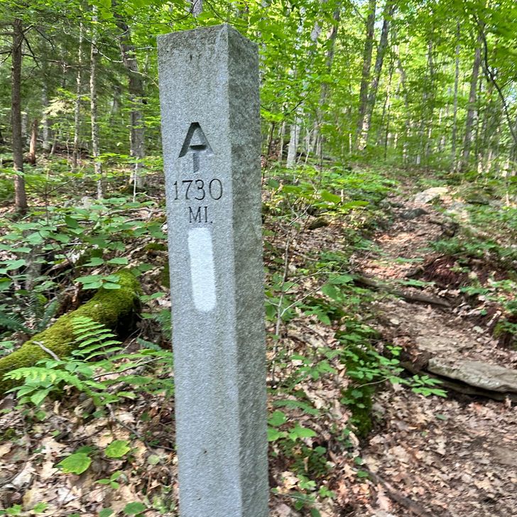
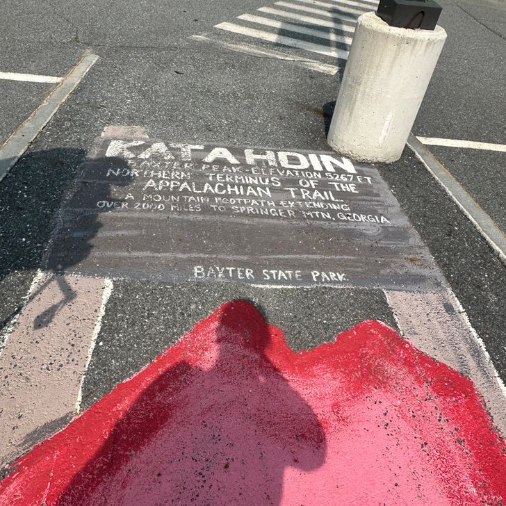
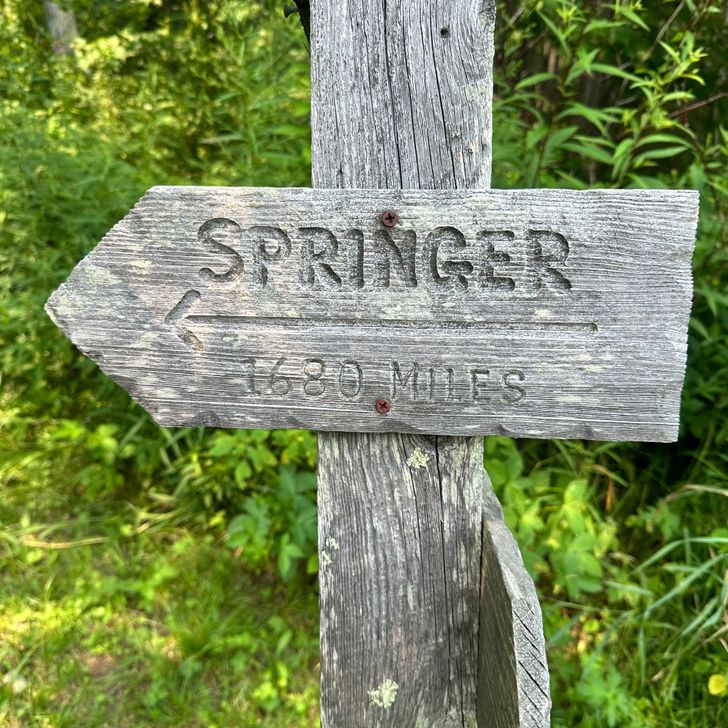
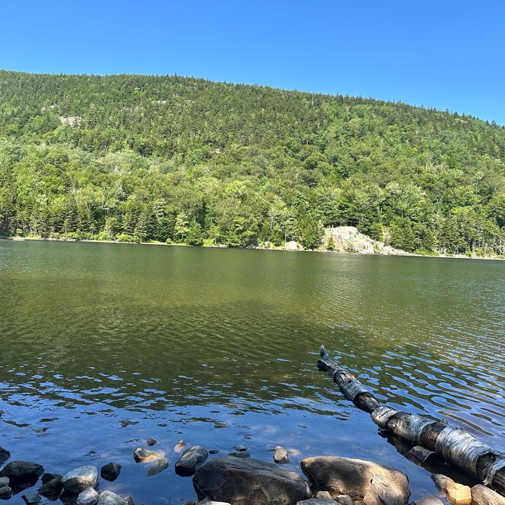
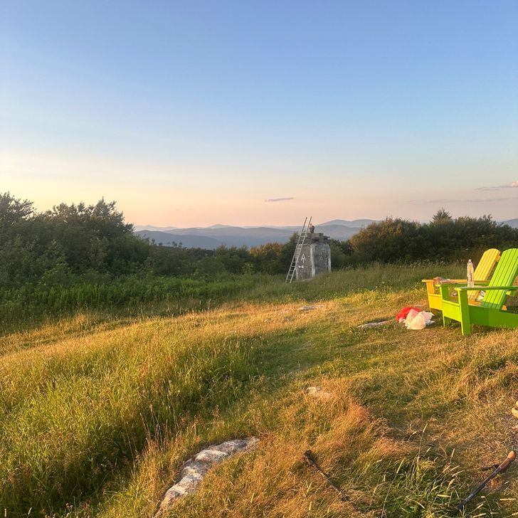
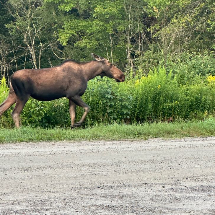
Appalachian Trail
Total Distance— units.miles.abbreviation
Total Days—
Journal Entries0
Avg Distance/Day— units.miles.abbreviation
Longest Day— units.miles.abbreviation
Waypoints0
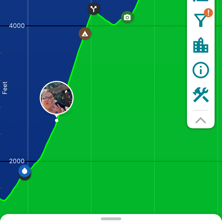
Map
Explore the full hike map