2021 Pacific Crest Trail Thru-hike

28
Aug
2021

Day 115-Day 131--OR Hwy 242 (Near Bend, OR) to US Hwy 2 (Near Leavenworth, WA)

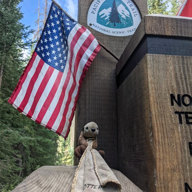
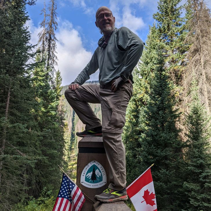
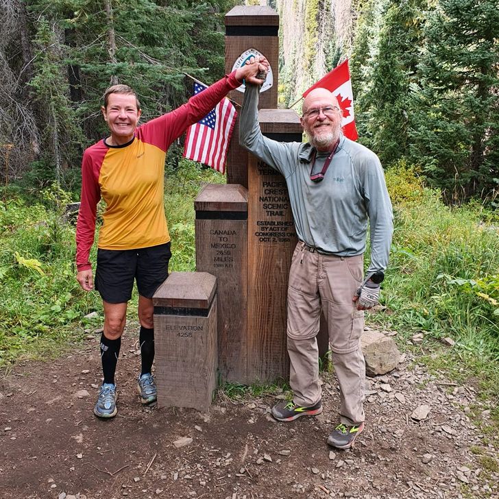
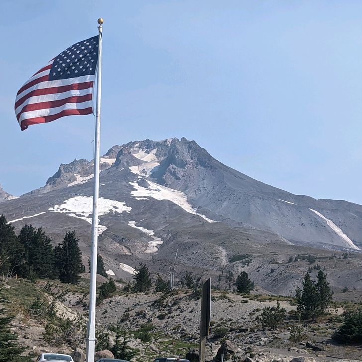
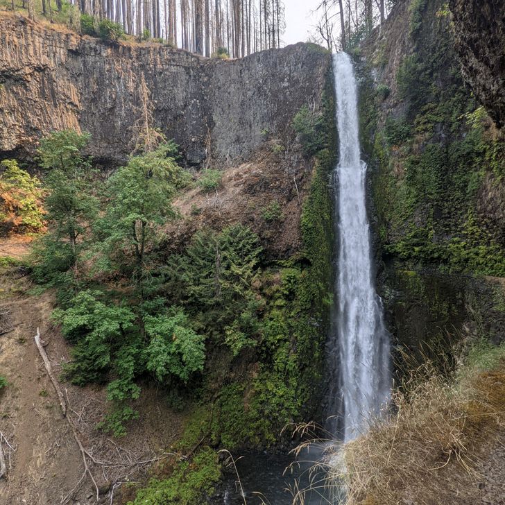
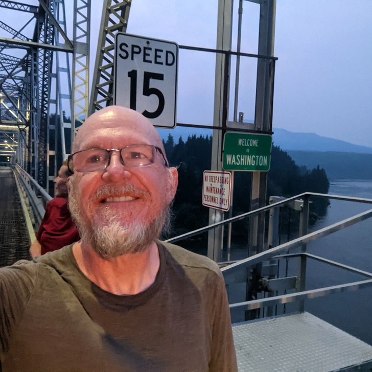
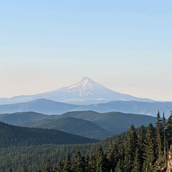
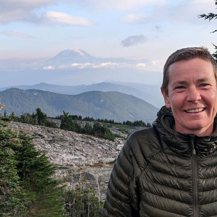
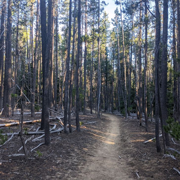
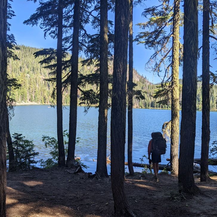
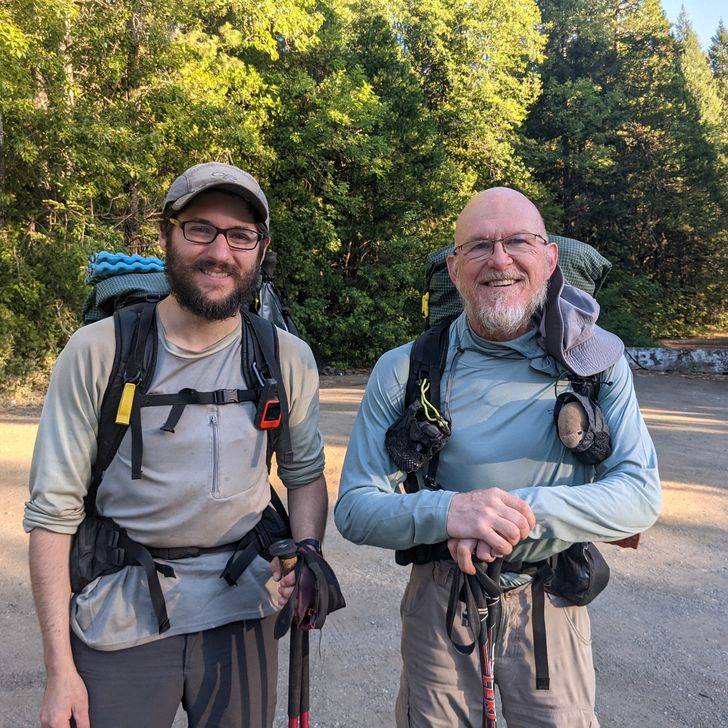
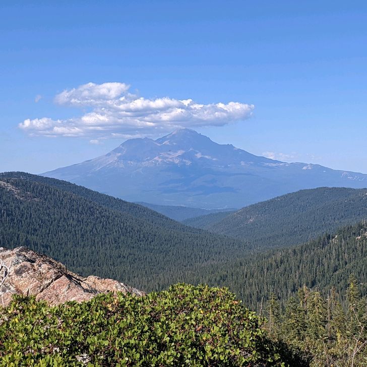
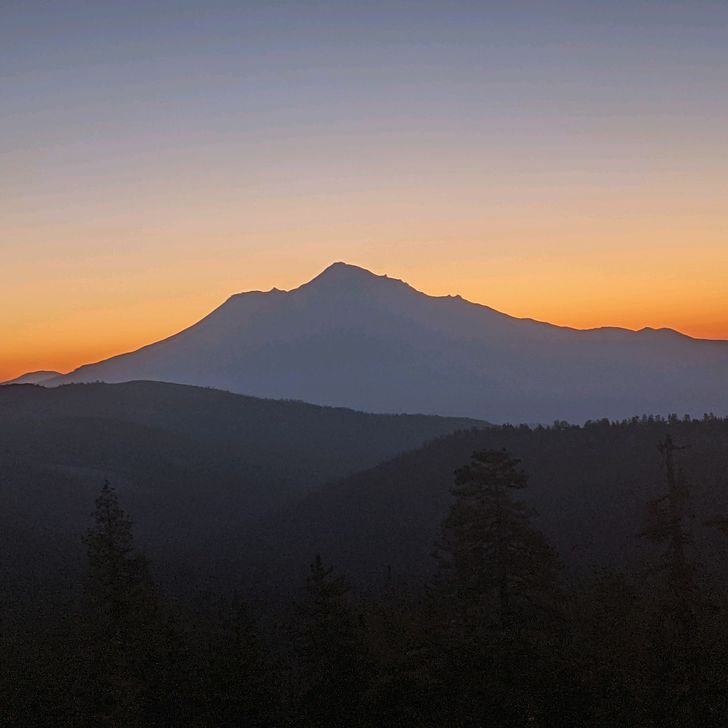
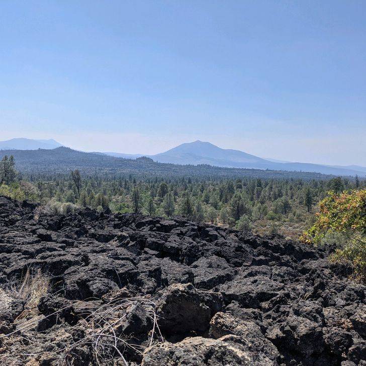
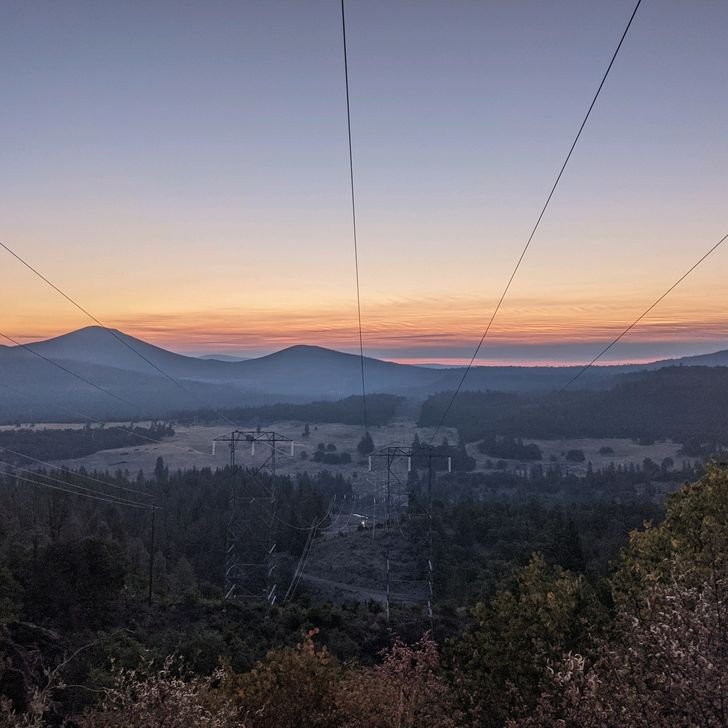
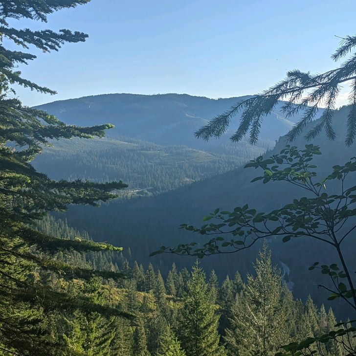
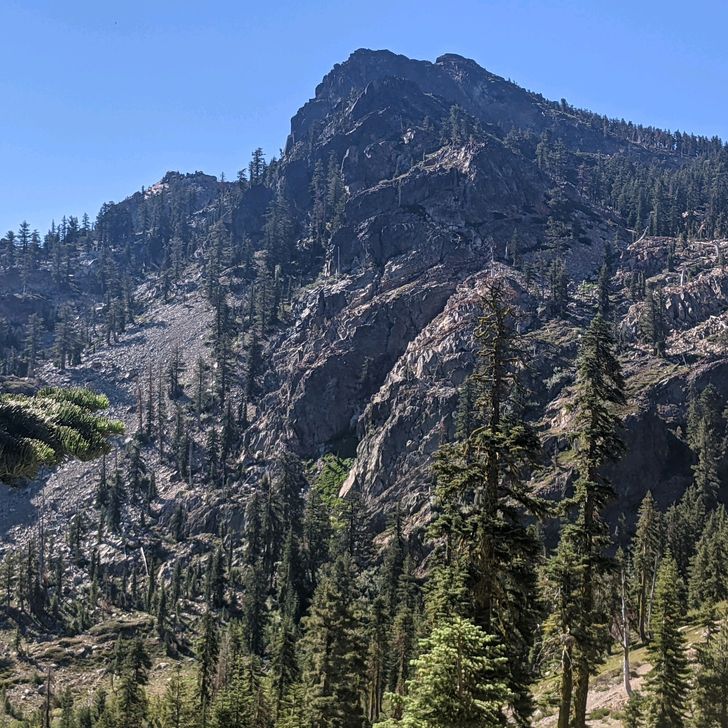
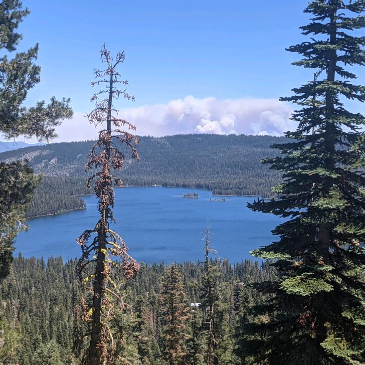
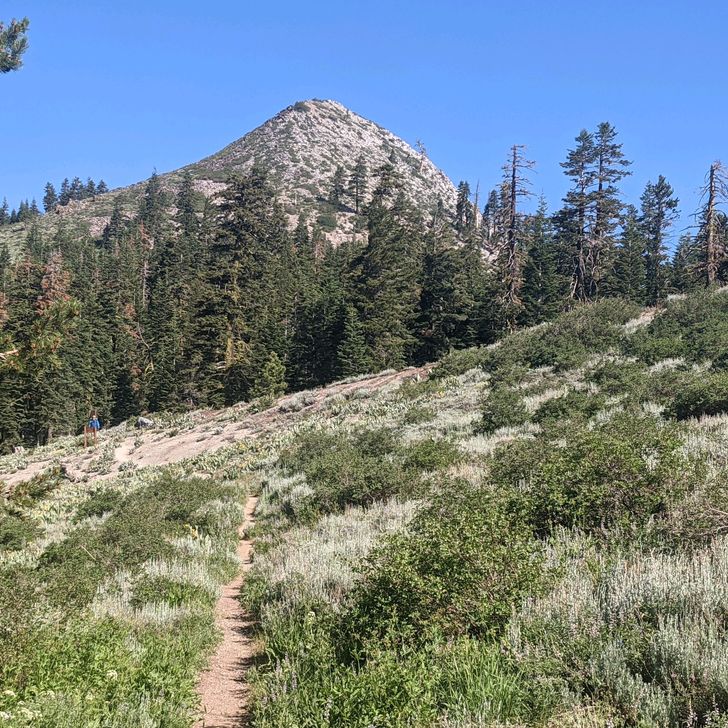
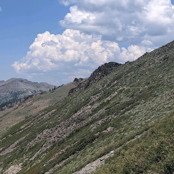
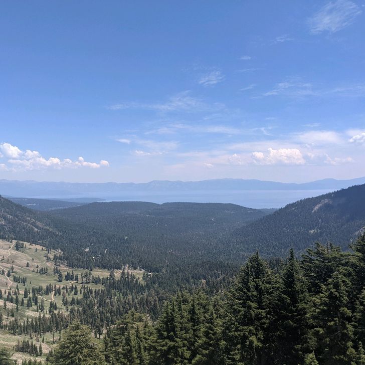
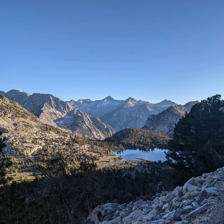
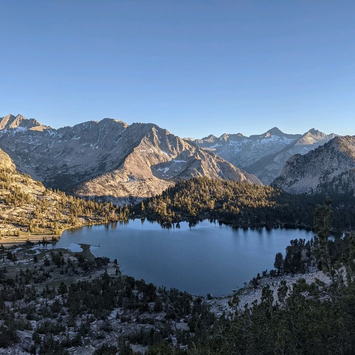
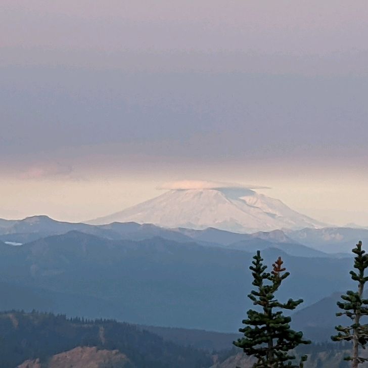
Written Saturday, 28 Aug 21 I am writing this entry from Leavenworth WA, 27 miles east of the PCT, a town that is designed and built to simulate a Bavarian village in the Northern Cascades. Really. Well, it's more of a Disney simulacrum if a Bavarian village, but at least the Schnitzel is good ("Folks, don't order the Schnitzel. They're using Schnauzer!"--Bill Murray, Stripes). Seriously, I have no idea what possessed people to build a gaux-Bavarian village in this particular location, but I'm traveling with a German, so we had to check it out. Since I last wrote to you, Anchor and I traveled 480 miles in 14 days without a full day off, checking Oregon off our to-do list, and polishing off almost 2/3 of Washington state, passing by some of the most beautiful scenery and over some of the most difficult treadway on the Trail. Both distance and time set personal records for me (and probably Anchor too). How in the world did this happen? It starts with a bus ride ("It starts with an earthquake, birds and snakes, an aeroplane..."--REM, It's the End of the World as We Know It). As you may remember from the last entry, Anchor's and my luck avoiding fires finally ran out at McKenzie Pass OR. Immediately ahead was an active fire closure, and just beyond that was a fire restoration area (also closed by the US Forest Service) that we had to get around. The most efficient way to do that was to ride a take a bus ride from the lovely town of Bend OR to the hamlet of Government Camp OR and then a shuttle from Government Camp to the famed Timberline Lodge, where we intersected the PCT once again, just about 100 Trail miles from where we started. The total fire closure area was only about 39 miles, but the road situation made it best to skip the 100 Mike's surrounding the two closures. To be clear, we could have gone to heroic lengths, making long hikes into and out of the back country to make more PCT miles (or, at least, avoid fewer PCT miles), and we know some hikers who did just that. However, after some deliberation, both Anchor and I agreed that we are past the stage where we are interested in doing cheetah flips to be more "pure" about our hike. Our solution is what the PCT Association recommends, and it's the easiest thing to do so that's what we did. Will I come back in the future to make up these miles when the fire closures reopen? Maaaaaybe. Maybe not. Probably not. Special note to Destry: this is why I bailed on the co-hike. This area is exactly where we would have been hiking together, and I would hate to have brought you out to Oregon for a bus ride. The Timberline Lodge is at the foot of the very impressive Mount Hood (named after British Admiral, Sir Samuel Hood) and served as a movie set for Stanley Kubrick's The Shining. After the bus ride, Anchor and I opted to skip the reputedly lavish buffet in the hotel and start hiking immediately. We thus also missed an opportunity to pose with Jack Nicholson's axe from The Shining ("Heeeeere's Johnny!" Jack Nicholson, The Shining). Over the next 14 days, Anchor and I went on an Odysee/death march that brought us to our current position. On the first 2 days, we managed to hike into Cascade Locks OR, right on the Oregon-Washington border, negotiating a 5,000-foot descent into the Columbia River Gorge (RIP, my knees) and dropping below 100-feet above mean sea level. This is the lowest point on the PCT, but Anchor and I are feeling pretty good about finishing Oregon in a little over 2 weeks, even if we had to do some of the miles by bus. The next two-day leg of our journey took us to the tiny but beautiful town of Trout Lake WA (after climbing 5,000 feet out of the Columbia River Gorge, of course). The wonderful retirees of Trout Lake have banded together to shuttle hikers from Trail to town and town to Trail 4 times a day, which makes things so easy! Anchor and I got into town on the last shuttle, did a 3-day resupply, had 2 meals, showered, and got out of town on the first shuttle the next morning, all in about 12 hours. From Trout Lake, our journey carried us on a uppy-downy, three-day stretch to White Pass WA, where we had resupply boxes waiting. The first two days of this stretch was our introduction to Washington's famous damp, foggy weather, but we arrived in the stunning Goat Rocks Wilderness just as the weather was lifting... also just as the wind was picking up, making for an uncomfortable night high on the slope of Old Snowy Mountain, with an eye-popping view of Mount Adams. Also, we were visited by the mountain goats after which this wilderness area is named. They didn't seem much bothered by our presence or interested in our food. They were just wandering by. The following morning, it was still so windy that Anchor and I delayed hiking for two hours, hoping the wind would die down a bit. It didn't, but once we hiked a mile or so, we went around Old Snowy and were instantly shielded from the bluster. That gave us a much safer passage along the Knife's Edge which offered panoramic views of the Wilderness and our first glimpse of Mount Rainier, like Mount Shasta much, much larger than all of its neighbors. This stretch contains some awesomely challenging hiking and drops us steeply down into White Pass, which isn't even a town. It's just a gas station/convenience store/rural post office where Anchor and I can pick up our resupply packages and gorge on some pizza before launching out the next morning for a four-day schlep to Snoqualmie. This stretch is mainly through the Mount Rainier National Park, and theoretically we should have astounding views of "the big guy." Rainier is the tallest mountain in Washington, the tallest mountain in the Cascades, and the most prominent mountain in the lower 48. Man, this is going to be awesome! Except that, leaving White Pass, we climb into a fog bank/rain cloud, and we stay in it for the next 3 1/2 days. That's right, 3 1/2 days of moisture, misery, and not a single view of Rainier which, at one point, is no more than 12 miles away. I am not making this up. The weather does clear up a bit as we are hiking down the ski slopes into Snoqualmie, where both Anchor and I have resupply boxes waiting. Great timing... The good news is that the nice weather held through the next morning when we cross under I-90 to start our 8,500 foot of climbing for the day. You read that right: 8,500 feet! That's the most climbing we have had in a single day since we were in the Sierra, 1,300 miles ago! But we did have some great views! The Alpine Lakes Wilderness, north of Snoqualmie, delivers exactly what you would expect--spectacular, rugged terrain on a footpath that winds it's way through a series of glacial lakes. Plus a lot of climbing, descending, and rocks. RIP my ankles. The three days of this stretch have about 18,500 feet of climbing and very close to the same amount of descent. Quite challenging. Eventually, the Trail delivers me to Stevens Pass and US Highway 2, where I get a hitch into Leavenworth (about 27 miles away) from a nice woman who is just moving to town to start a job with the US Forest Service. She drives me straight to our hotel and won't take any money from me for gas. At the hotel, I meet Anchor who, as usual, is ahead of me. We are double-zeroing here, eating German food, inhaling baked goods, and, perhaps, drinking a couple of carbohydrate-rich beverages. Even better, we are joined by old friends, Marion and Jan-Marc Jouas, who live on Whidbey Island, near Seattle. Lt Gen Jouas was my next-to-last boss in the Air Force, and my best one. Both he and Marion are great leaders and mentors, and being able to see them for a couple of days is very therapeutic after a long, stressful section of hiking. I can't thank them enough for taking their time to drive out and see us. We also see several hikers we have been leap-frogging with for the last 1,000 miles or so. Fly and Taters are kicking it into turbo mode, and will probably finish at least a couple days ahead of us. Pooch, who will finish his triple crown (hiking all three major scenic trails in the US: the Appalachian Trail, the Continental Divide Trail, and the Pacific Crest Trail), is also at least a day ahead of us, and, given his speed, will probably be 2 or 3 days ahead of us at the finish. We're down to 185-ish miles to go (plus another 30 miles to hike back from the border to the nearest road crossing). Not 100% percent sure when we will be done but probably sometime in the next 10-11 days. The next section is, of course, harder than the last. But we will be headed into it well fed and well rested tomorrow. Until then, I'm safe, dry, and warm... ----- Total Miles Hiked This Entry: 481.5 Total PCT Miles Hiked: 2,465.2 NOTE:. Approximately 100 miles of this entry's miles (from McKenzie Pass OR to Timberline Lodge OR) were via bus, rather than on foot. This was necessary to avoid one active fire and one on-going Forest Service fire closure for environmental restoration purposes. ----- Sea Otter Fact of the Entry: Sea Otter mother's usually give birth to their first pup between the ages of 4 and 5 years.
Vista previa de foto del día 1
Vista previa de foto del día 2
Vista previa de foto del día 3
Vista previa de foto del día 4
Vista previa de foto del día 5
Vista previa de foto del día 6
+9
11
Aug
2021

Day 103-Day 114--Interstate Hwy 5 (Near Ashland OR) to OR Hwy 242, McKenzie Pass (Near Bend OR)

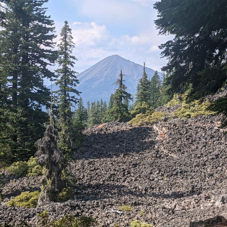
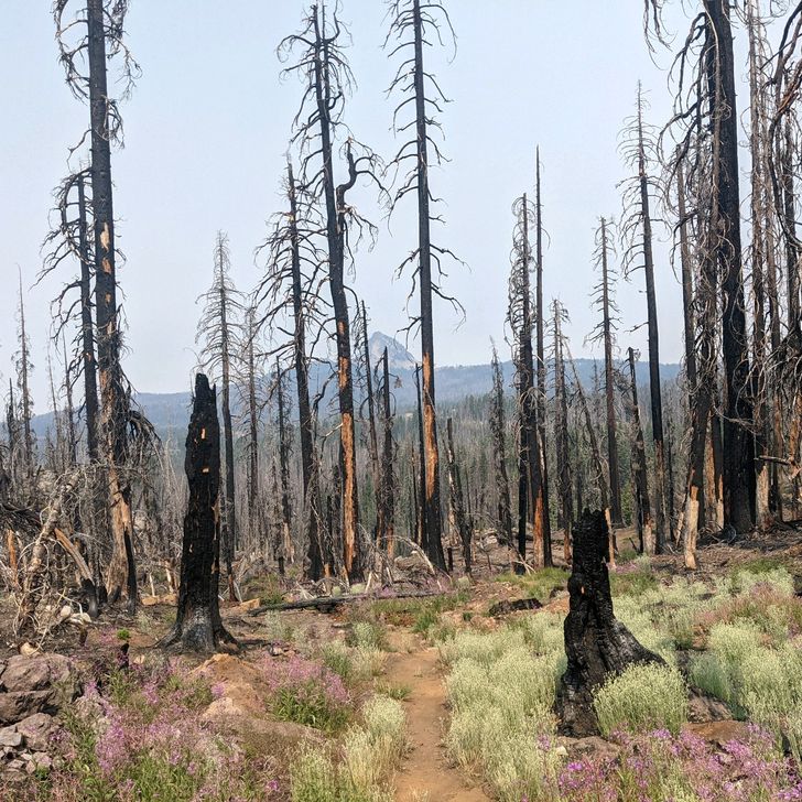
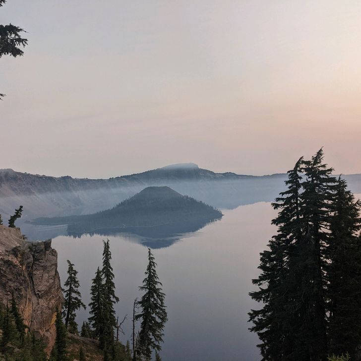
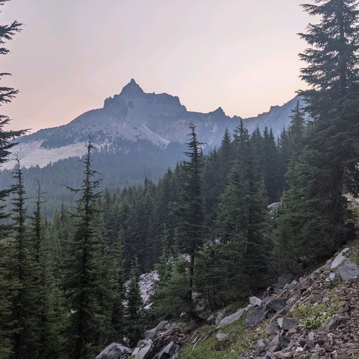
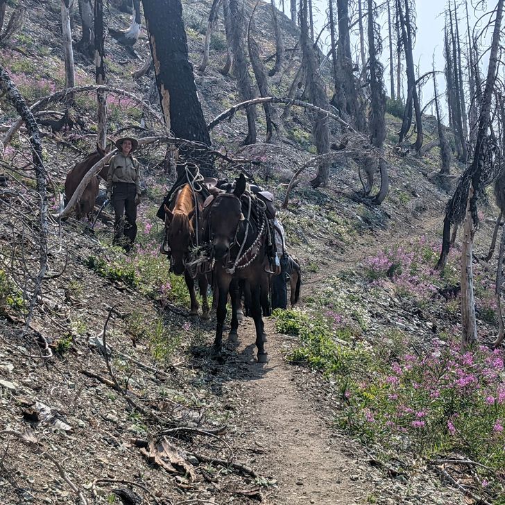
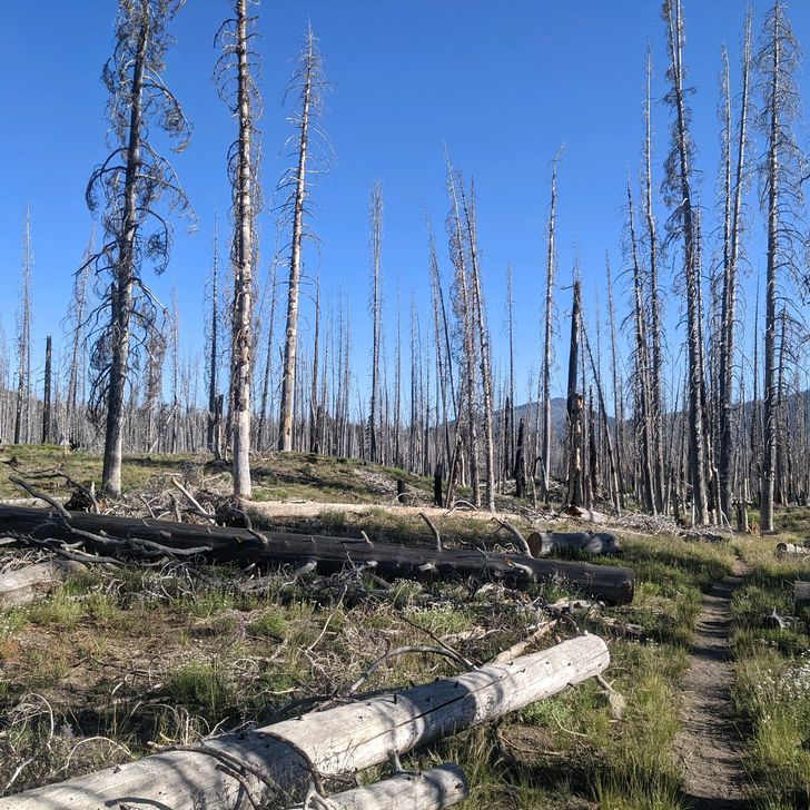
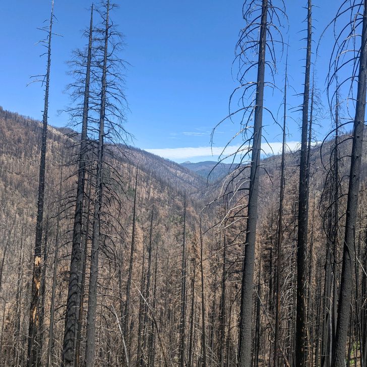
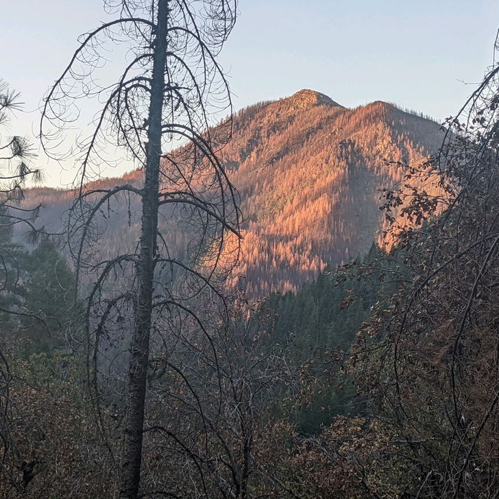
Written Wednesday, 11 Aug 2021 This has been a long 12 days, through some wonderful terrain and some not-so-wonderful terrain. Anchor and I were able to make this long stretch by sending resupply boxes to ourselves in two locations (Mazama Village and Shelter Cove) where the trail passes near convenient stopping points that don't have good local resupply options. This is a technique we'll use again as we get into Washington. Our weather, while still quite warm on some days, has been quite a bit better than what we experienced during the previous month. We had a couple of very cool days (temps topping out in the low 70s) in which I was able to push up my pace a bit. We also had some chilly nights. It's always harder to get out from under the quilt on those mornings. The dry weather continues, which is generally good for us, but terrible for the fire situation. Also, the water carries have continued to be challenging. We had at least on 35-mile stretch with no on-Trail water. If it had not been for two well-maintaned water caches (by a trail angel who goes by the name Devilfish), this passage probably would have been unhikeable. Thank you, Devilfish! Oregon, as advertised, is generally flatter than Northern California. The average daily elevation change is generally less than what we were doing 2 weeks ago in NorCal, and the climbs and descents are more gentle. I needed that relief badly. Most of the miles are gorgeous, alternating between sweeping mountain views and long walks in fir and hemlock forests. On the other hand, at least 25 percent of the Trail in Oregon has been through burn zones, some new but some quite old (one of them was from a fire in 1996) and slow to recover. Often these burn zones cover miles of the Trail, are filled with blow-downs that block the path, and offer no protection from the blazing sun. These are not the stretches we will remember fondly. This section of the hike included two major scenic landmarks, the first of which was Crater Lake. The deepest lake in the United States, Crater Lake was formed about 7,700 years ago when an enormous volcanic eruption caused Mount Mazama to collapse into itself, leaving--you guessed it--an enormous crater behind. The crater, now 1,949 feet deep, eventually filled with water, forming the lake we know today. Crater Lake is not fed by any rivers or streams. Instead, the evaporation of water from the lake is almost perfectly balanced by rain and snowfall. Hydrologists estimate that the complete water content of the lake is replaced about every 250 years. Unfortunately for Anchor, FedEx (a Swiss-Mexican hiker we have been hiking with), and me, our visit to the Crater Lake Rim Trail coincided with the arrival of heavy smoke from wildfires and our views weren't as good as they could have been. Moreover, the famous blue Crater Lake water just looked black from wherever I stood. It wasn't a terrible experience, just different than what I was expecting...and kind of spooky. If you want the typical photos of a vibrant blue-watered lake, you'll have to Google them. The second major landmark--the Three Sisters Wilderness--was a much better experience. The "three sisters" are all volcanic mountains, formed separately less than 100,000 years ago, and containing no less than 16 glaciers in their skirts. The middle and north sisters are thought to be inactive, but South Sister has erupted as recently as 2,000 years ago and has occasionally shown volcanic activity in this century, so she's considered an active volcano. The Trail not only presents hikers with magnificent views of the Three Sisters, but winds in and around their skirts, passing an amazing, miles-long deposit of obsidian (and beautiful Obsidian Falls), long hikes over lava flows, and an eye-popping view of Mount Washington, a craggy peak known as Three-Fingered Jack, Mount Jefferson, and veiled in smoke, a distant Mount Hood. Truly breathtaking. Arriving at McKenzie Pass (mile 1,983!), we met Olivia, Baewatch's fiancee, who is staying here in Bend for the month of August. She very kindly picked us up at the trailhead, drove us to Bend, and...lent us her car for a day so we could run errands! Thank you, Olivia, for your kindness! Bend turns out to be a great town--probably the nicest place we have stayed while hiking the PCT. Lots of good food, tons of local beers, and a very laid-back, walkable atmosphere. It's a bit hard to leave... Now, at nearly 2,000 miles, Anchor's and my luck has run out. From the start of the PCT to McKenzie Pass, we have a continuous footpath, but we have now reached the first fire closure that is ahead of us, and there's no good way to walk around it, so when we depart, we'll have our first skipped miles on the PCT. ? Really disappointing. Not sure where we will end up (or how), but I'll update you in my next post. Drop your questions or comments below! In the meantime, I'm safe, dry, and warm! ----- Miles Hiked This Entry: 265.0 Total Miles Hiked: 1,983.7 ----- Sea Otter Fact of the Post: The population of the southern sea otter has plateaued at about 3,200 individuals. Researchers aren't entirely sure why, but leading theories involve increased accidental predation by great white sharks (who are feeding closer to shore than in the past) and a general reluctance by sea otters to venture far beyond the areas in which they are born and reared.

Vista previa de foto del día 1
Vista previa de foto del día 2
Vista previa de foto del día 3
Vista previa de foto del día 4
Vista previa de foto del día 5
Vista previa de foto del día 6
+9
30
Jul
2021

Day 93-Day 102 Interstate Hwy 5 (Near Mount Shasta City CA) to Interstate Hwy 5 (Near Ashland OR)

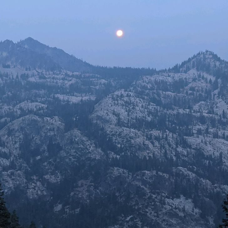
Written Friday, 30 July 2021 This was, I believe, the longest stretch we have gone without taking time off, and I am bushed, even after 2 days to recover in Ashland OR (a very nice, small city in southern Oregon). The big news, of course, is that Anchor and I finished the 1,693.7-mile stretch of the PCT in California (and have taken a 27-mile nibble out of the Oregon section) on Wednesday, 28 July, at about 0630. We celebrated with a shot or two of Kentucky's finest straight bourbon whiskey, Jim Beam (thanks, Jim). So this is what the Trail has done. It has turned me into a morning drinker... Anyway, the first stretch of Oregon turns out to be beautiful but also climby, fairly dry, and, ultimately, hot. So Oregon is already on probation! The 217-mile section from Mount Shasta City to Ashland definitely was not as difficult, overall, as the previous 200-mile section. There has been a bit more shade and a bit more water, although, with the exception of one day, the brutal heat continues. Luckily, the one cool, overcast day (that even included some nice morning rain) was the last full day in California, which included over 8,000 feet of climbing (yet another climb out of a gorge--in this case the Klamath River canyon near Seiad Valley) and about 5,000 feet of descent. It was wonderful to not have the sun beating down on us as Anchor and I made that long climb, and we made nearly 30 miles while barely breaking a sweat (literally). Unfortunately, the hot weather was back the next day, and it's not immediately clear when we will get a break again. Fires continue to be a concern. During most of the hiking days on this stretch, the valleys were filled with smoke, obscuring any real views we might have had. Smoke in the valley doesn't necessarily indicate a nearby fire, but it makes it harder to know if there is a nearby fire, where it is, and, most important, where we should go to maintain a safe distance. Some other hikers have also complained about eye and throat irritation, but luckily neither Anchor nor I have felt those effects. By the way, I tried to get some good smoke pictures for you to give you a sense of what it's like out here, but my Pixel 5 is too good at processing the haze out of the pics. I just can't win! On the upside, I met a hiker--Slice--whose footsteps I have been following for 5 years! Back in 2016, Slice thru hiked the Appalachian Trail, and he published an outstanding blog that was probably the single most important resource in planning my own 2017-2019 Appalachian Trail hike. Then, just a couple weeks before I started this year's hike, Slice announced that he and his fiancee, Mango, would be hiking the PCT, starting 10 days before me, and, again, I have been following his blog for key information on what to expect on upcoming sections (also his hilarious sense of humor). I never expected to catch up with Slice and Mango, but they recently had to hop off the trail for a family event and, on the bus from Mount Shasta City back to the Trail, our paths finally crossed. Of course I went total fanboy and gushed all over Slice. I'm sure he and Mango were thinking, " Uh oh. Stalker alert!" But they were both very gracious, and we had an awesome conversation. Turns out Slice is every bit as nice and funny in person as he is in his blog. What a nice surprise! That's Slice and me in the picture up above Speaking of surprised, the 4 mountain ranges we hiked through on this section were all spectacular! Castle Crags, the Scott Mountains, the Marble Mountains, and the Trinity Alps are among the most imposing and beautiful mountains we have yet seen on Trail. Strangely, with the exception of the Trinity Alps, I haven't heard much about these ranges previously. They deserve more attention! Get out and see them, people! Also, Mount Shasta continues to be a daily presence on our hike, over 2 weeks after we first spotted her. The is how big she is. She is to our backs now, but even as late as our last afternoon on the Trail, a backward glance revealed her majestic peaks rising above several ridges between her and our current position. Just amazing. We have really enjoyed our 2 days of rest here in Ashland. Our last full day off was all the way back in Chester, 17 days ago (and almost 400 miles!), and I really needed the break. We got resupply taken care of for the next 12 days, accomplished some equipment fixed, watched a lot of Olympic coverage, and ate all the food. All. The. Food. No apologies will be forthcoming. Well, better get to bed. We have a ride lined up to get us back to the Trail in the morning. The upcoming segment may take us 12 days or more to complete so it will be a while before I update the blog, but I will give you an update as soon as I can. Hit me up with questions or comments below. In the meantime, I am safe, dry, and warm. ----- Miles Hiked This Entry: 217.4 Total PCT Miles: 1,718.7 ----- Sea Otter Fact of the Post: Sea otters are the only sea animals capable of turning over and lifting bolders in the sea floor (in search of food, of course)

Vista previa de foto del día 1
Vista previa de foto del día 2
Vista previa de foto del día 3
Vista previa de foto del día 4
Vista previa de foto del día 5
Vista previa de foto del día 6
+9
20
Jul
2021

Day 86-92--CA Hwy 36 (Near Chester CA) to Interstate Hwy 5 (Near Mount Shasta City CA)

Written Tuesday, 20 July 2021 Today marks the beginning of our fourth month on the Trail and also 1,500 miles complete. Instead of going through a bloe-by-blow description of the last week, which must get boring for you after a while even if you really enjoy this blog, here are the things I will remember from this past week: 1. The extreme heat. We are experiencing ridiculously high daytime temperatures here in Northern California, and nothing saps my energy faster or makes me grouchier than grinding miles through this incredibly hot weather. We hit 100°F one day, and all the rest topped out in the mid- to high-90s. I am not embarrassed to admit that I am way below average in my ability to hike through heat. Or, as Anchor says, "Otter, I just think hot is not your weather." Yep. 2. The lack of shade. Compounding the high temps are the frequent shadeless stretches, some of which are many miles long. In fact, one 55-mile stretch before, during, and after Hat Creek Rim provided almost no shade for two full days of hiking. I thought I was going to die. I now understand much better the phrase "crazy from the heat.". The sun is beating down on you, and there is no place to hide. It's like God telling you, "If you don't mend your ways, this is what Hell is going to be like for you." Awful! 3. Lack of water. Yes, on top of the heat and lack of shade, this has been the driest stretch since the desert. It may even be the driest stretch on the Trail so far. Between the lack of snow this past winter and lack of rain this spring, many seasonal streams are already dry, and even some reliable water sources are flowing very slowly. Fifteen mile dry stretches are common, and the Hat Creek Rim has a 30-mile stretch in which no water flows across (or even particularly near) the PCT. During one afternoon this week, for the first time since 2017, I miscalculated my water needs and ran myself dry 3 1/2 miles before my next water source (this is where you are probably thinking, "Otter doesn't seem very good at this hiking thing," and you'd be right). It didn't kill me, but contra Nietzsche, I don't think it made me stronger either. I can tell you one thing though: You usually don't have to think about water much, but if you run out of water on a hot day with no firm idea of where your next water source is, water is the ONLY thing you will be able to think of until you get some. 4. Fires. Anchor and I have been very lucky not to have been affected by any of the fires that are now popping up near the Trail with unprecedented frequency. Just as we were leaving Chester last week, Anchor and I saw a plume of smoke several miles away, and we shared an "uh oh." That plume turned out to be the start of the Dixie fire, which now encompasses over 60,000 acres, and forcing the closure of over 100 miles of the PCT (luckily, behind us, but hikers behind us have been stranded, not to mention the property loss and danger to the lives and livelihoods if those who live in these areas). While hiking this week, I saw that the amount of dry fuel available on forest floors virtually guarantees that a minor fire will rapidly turn into a major fire.(Note to my friend Becky's mom: No, Anchor and I will not hike into any fire areas. Promise!) 5. Mouth Shasta. Mount Shasta is one of the most staggeringly beautiful mountains I have ever seen. It's size, compared to everything else around it is astounding. At over 14,000 feet tall, Shasta iis a (potentially active) volcano that reached it's current prominenceby erupting continuously for tens of thousands of years, finishing just 8,000 years ago, with occasional eruptions since then. The most recent confirmed eruption was aroused 800 years ago, although there is a disputed claim of an eruption in 1786. The only two mountain I have seen that compare to Shasta for sheer majesty are Katahdin in Maine and Fuji-san, on the main Japanese island of Honshu. So those are the things I will remember from this week. To be honest, it hasn't been a great week of hiking for me or even a very good one. I have definitely questioned whether the miles are worth the suffering we have to endure, and I am finally starting to feel a bit ground down by the conditions we are hiking in. Okay, enough griping. We're off to hike a longer segment so it will probably be a few extra days before I post again. Looking forward to chatting with you again soon! And don't worry, I'll be fine.? ----- Miles Hiked This Entry: 170.0 Total Miles Hiked: 1,501.3 ------ Sea Otter Fact of the Day: The modern sea otter (Enhydra lutris) is the only surviving member of the genus Enhydra. However, Enhydra Lutris once had a sister species, Enhydra Macrodontia (the big-toothed otter), which went extinct during the Pleistocene era, about 1-3 million years ago

Vista previa de foto del día 1
Vista previa de foto del día 2
Vista previa de foto del día 3
Vista previa de foto del día 4
Vista previa de foto del día 5
Vista previa de foto del día 6
+5
13
Jul
2021

Day 79-85--CA Hwy 49 (Near Sierra City) to CA Hwy 36 (Near Chester CA)
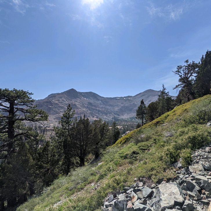
Written Tuesday, 13 July 2021 This is, without a doubt, the toughest single week of hiking I have ever had, with temperatures soaring into the low 100s, big climbs every day, and some very dry sections with long water carries. My previous toughest two days on Trail were back in 2019 on the Appalachian Trail (the back-to-back days I climbed Mahoosuc Arm and hiked into Andover in Maine), but I had a couple days that displaced those at the top of the list this week. Honestly, if it weren't for Anchor's encouragement, I'm not sure I would have made it to Chester. In some ways, the easiest climb of the week was the first one, the 3,100+/- foot climb from the highway outside Sierra City to the to the top of Sierra Buttes, a set of imposing volcanic outcroppings overlooking the Lakes Basin. Of course, for Anchor and me, it seems even longer since we have a preliminary 450-foot climb during the 1 1/2-mile walk from town to the trailhead. Luckily, we have an early start, and the Trail turns out to be very evenly graded, climbing at a steady 350 feet per mile so what could get into a real climbing rhythm, interrupted by just one rocky patch. We're also blessed by a quirk of geography that keeps us in shadow for most of the ascent so it's a lot cooler than it might otherwise be. Wish we had that kind of luck the rest of the week, but we definitely did not. However, this climb is done before we know it (Anchor is way ahead of me by now), and the rest of the day is relatively straightforward, with some knock-out views of the Lakes Basin and up close looks at the volcanic peaks. In fact, the day was easy enough that, when we arrived relatively early at our planned stopping point, we decided to press on another 4.1 miles to the West Branch of Nelson Creek, and I didn't feel wrecked. Except for the fact that the afternoon was quite a bit warmer than usual, it was just about a perfect day. Wednesday started similarly, but--uh oh--things changed suddenly. I got off to a good, early start, and, even with a steep climb in the morning, I covered about 13 or 14 miles before 1000, and I'm already starting to think we might be able to add some miles at the end of the day. Ha. Haha. Hahahahaha. This is where the Trail turns into a gigantic poop show! Unbeknownst to me, the next dozen miles were the scene of a huge forest fire within the last couple of years. Anything resembling shade was burned away. The Trail has been turned into a firebreak, with ankle-deep dust slowing my progress. The temperatures are rising. There's no water. And I start to think about what my tombstone will say after they find what's left of me. This goes on forever! Or at least another 12 miles. And today is hotter than yesterday. To make matters worse, the last few miles were a steep, rocky, shadeless descent into a deeeep gorge, to the Middle Fork of the Feather River--a beautiful, fast flowing stream that we are FORBIDDEN to access because of safety and environmental concerns. Well, if anyone from the U.S. Forest Service is reading this, that was definitely not me washing the dirt off and getting drinking water from the river. It was someone else. This was, undoubtedly, the toughest day I have had in ovet 3,500 miles of long-distance hiking. At 2,955 feet MSL, our campsite is at the lowest point we have been since before entering the Sierra back at the beginning of June. The air here actually feels thick. Thursday will certainly be better, except for the fact that it begins with a 4,000-foot climb out of the Feather River canyon that is both steeper and longer than the descent into it. Geez. Every single morning this week. Even with the climb, I make decnt time, and the only real slowdowns for the day are the heat, and the relative lack of water. The fee available water sources today all require side trips off-Trail to access them. Ugh Anchor and I get to Clear Creek Spring late in the day and decide it's a pretty good spot to camp, in spite of a few bugs. Tomorrow, we will pass through the "town" of Belden CA, where there is a general store for resupply, and a small restaurant where we can get a meal LOL. How do you think that went? Friday morning is a relative novelty since, instead of starting with a massive ascent, it begins with a massive descent into another gorge. Awesome! At least it's not terribly hot. Yet. Anchor and I make the plunge down to 2,218 feet, which is probably the lowest we have been since crossing under I-10, all the way back in the San Gorgonio Pass (over 1,000 miles ago). We were just congratulating each other for making the 10+ mile trip before 0830 when we step up on the porch of the General Store, only to discover that it won't open for another 2 1/2 hours. Also, no restaurant until 1100. You gotta be kidding me. There is no way we are staying around for 2 1/2 hours while the day heats up, just for an overpriced resupply and a shirt-order frozen burger patty. I said some very bad words. Anchor and I do a quick calculation and decide we do have enough food in our food bags to get us to Chester so we light out for the next hill, which, as you have probably already guessed, is not long in coming. Yep. We descended into a gorge, and now we're going to climb out of it...over 5,400 feet over the next 14 hit, unshaded miles. I am not making this up. As a side note, it's a good thing we didn't wait for the General Store to open (Editor's Note: this is not what Otter thought at the time. In fact, he griped about missing breakfast all day and into the night). If we had waited, the climb would have been even hotter which would have been awful on a day when temperatures topped 100°F. Our only saving grace was that water on this side of the mountain was plentiful, and we could stop every hour or so for more H2O. If that had not been true, I probably wouldn't be writing this to you now. Even with the good water, I was praying for mercy from baby Jesus, Mary, and Joseph, and I'm not even Catholic! The upward slog took pretty much the rest of the day, with just a little bit of descent into camp once I crested the hill. As usual, Anchor beat me to camp at Frog Creek and was well along her chore list by the time I arrive, disgustingly sweaty, grimy, and tired. Also grouchy. Today instantly replaces two days ago as my toughest day ever on the Trail. Just brutal. I swear someone told me that the PCT gets easier for a while in Northern California and Oregon. When does that start? Not Saturday, that's for sure. The heat continues. The big ups and downs continue. The lack of shade continues. And there's less water on the Trail. Sometime early on Saturday afternoon, we reach the official end of the Sierra Nevada mountain range and enter the Cascade mountain range. There's even a small sign welcoming us to the Cascades (a small sign on the flip side welcomes southbound hikers to the Sierra). As a geologist, I would have guessed the transition had taken place a hundred miles ago when the mountains became obviously volcanic in origin (Editor's Note: Otter is NOT a geologist. He's an aerospace engineer, and not a very good one). At any rate, the you can really see the difference in the terrain from the High Sierra. In the Sierra, the views were dominated by enormous, searated, rocky crags. Here, the hills are more rolling and covered in trees or other vegetation which gives them a much softer character, almost like the southern Appalachian ranges. On Sunday, for the first day since we arrived in Sierra City, we have less than a mile of climbing during the day. Of course, we do have a 2,000-foot climb during the hottest part of the day, and the water sources are, again 10-12 miles apart. Local temperature are in the high 90s. But it doesn't matter because this afternoon we reach the official mid-point of the PCT, at around 1,325 miles. Lots of picture-taking and fist-bumping ensued. And then we hiked another 5 miles to water at Soldier Creek, which is also where we set up camp. Monday is a short hiking day--just 3 1/2 downhill miles to California Highway 36 where we wait for over 90 minutes for a hitch into the town of Chester for resupply and a down day on Tuesday. Also, we eat all the food. Honestly, for the first time at the end of a segment, I am wrecked. I'm really hoping for lower temperatures and a little less daily up-and-down when Anchor and I resume hiking on Wednesday. Colonel Sanders rolls through on Tuesday, after spending some time with his wife off trail. He is now probably half a day ahead of us. Baewatch is somewhere within a day of us (ahead or behind) Catch is currently well back, nursing shin splints. We're in daily contact via text message or Garmin InReach. Anchor and I both hope there is a way to rejoin with her. We watched the 2021 Major League Baseball All-Star Game tonight, and it reminded me of the time I hiked through a thunderstorm to the Allenberry Resort in Pennsylvania to watch the 2017 All-Star Game. We could definitely use the rain here and now. Anyway, that's all for this segment. Tomorrow (Wednesday, 14 July) we'll start hiking again, headed toward Dunsmuir CA, which we should reach in about a week. Until then, we'll be safe, dry, and warm (but hopefully not as warm as we have been the last several days). ----- Miles Hiked This Entry: 138.0 Total Miles Hiked: 1,331.3 ----- Sea Otter Fact of the Post:. Interesting new research shows that one way sea otters stay warm in the chilly waters of the Pacific Ocean is that their mitochondria leak heat directly into their bodies rather than converting all their food into cellular energy. Read more about it here: https://www.sciencenews.org/article/sea-otter-warmth-mitochondria-muscle-metabolism-biology

Vista previa de foto del día 1
Vista previa de foto del día 2
Vista previa de foto del día 3
Vista previa de foto del día 4
Vista previa de foto del día 5
Vista previa de foto del día 6
+9
6
Jul
2021

Days 74-78--Echo Lakes Parking (near South Lake Tahoe CA) to CA Hwy 49 (near Sierra City CA)

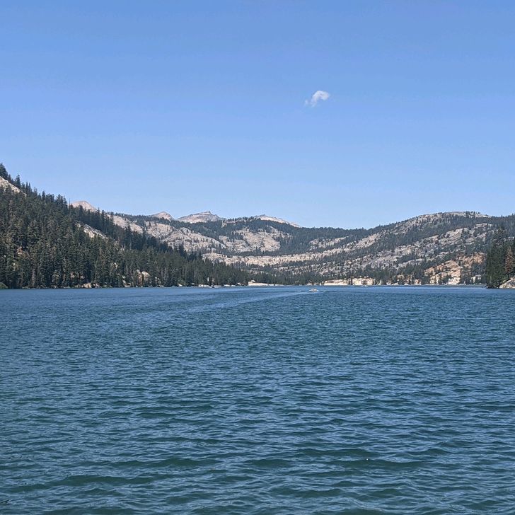
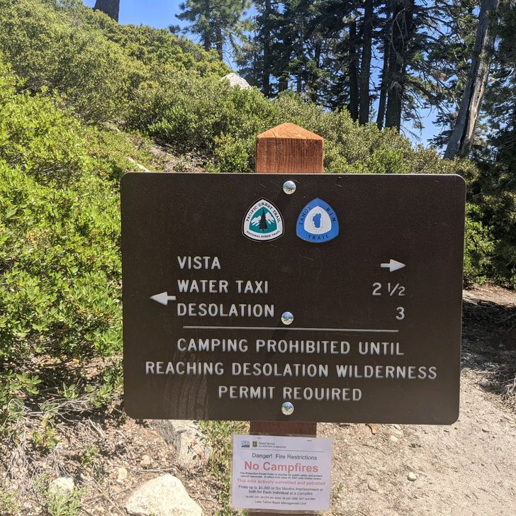
Written Tuesday, 6 July 2021 Okay, folks, time to mix things up! I have NOT been doing a good job of keeping up the daily posting (obviously) so I'm going to try to give the readers of this blog (both of you!) a more near-real-time experience by uploading one post per segment (from town-stop to town-stop) and see how that goes. So, that means a lot fewer posts overall (and fewer pix), but more timeliness and, hopefully, better quality which, let's face it, this blog definitely needs! Also, I'm leaping ahead in time to the present, although I will go back and fill in the gaps between Day 56 and Day 74 later because my public demands it. Well, at least my friend Becky's mom has demanded it. So... The beginning of this post finds us in South Lake Tahoe, which is a fun but overpriced stop along the PCT, shortly before the 4th of July holiday is about to begin. We have all survived the Sierra, Yosemite National Park, (unforgettable...we should all get together and go there someday) and the amazing "Low Sierra" that settles toward the enormous Lake Tahoe, at the low, low altitude of 6,225 feet--the first time we have been at an altitude this low in weeks. South Lake Tahoe is about to get even more packed with people who have just been released from COVID-house-arrest by the tyrant Gavin Newsom, and motel room prices are shooting through the roof! This is definitely no place for a nice Lutheran boy, so time to hit the road....er, Trail Today (2 July) it's just Anchor and me. Colonel Sanders got a head start last night. Baewatch is staying behind to meet his lovely significant-other who is arriving from the East Coast, and Catch is a day or so behind. We don't get an early start. Or even a moderately early start. No, we don't get to the trailhead at Echo Lake until almost 1130, and it's hot. Like Africa hot. Still, things begin fairly promisingly, with manicured trails and gentle ascents near this tourist spot. The lake itself is gorgeous! But there is a sign that does say "Desolation--3 miles," and that should tell you something. Yes, we're going into the Desolation Wilderness, and, yes, the first 15 miles are miserable. The nice, gentle trail surfaces are suddenly littered with fist-sized rocks, and the climbs become markedly steeper. Both of these things slow us down (although Anchor is a much stronger hiker than I am so she is still way out in front) which is terrible because the mosquitoes are thicker in the nap on a Persian carpet, and the slower we go, the easier it is to drink my blood. It's a horror show. Oh, and it's hotter than blue blazes too. Given our late start, we didn't expect to make big miles today, but, seriously, we did not make big miles today. I don't arrive at our planned camp until 2115, well after dark (which I dislike), and Anchor is nowhere to be found. I assume she has moved on further, and I just throw down my stuff on the ground to cowboy camp. I go to sleep in a sweaty, stinky funk. So this segment is off to a great start. At least I slept pretty well, and things look a bit better when I set off around 0500. I have no firm idea of where Anchor is, but I plan to hike about 25 miles today (Saturday) and, hopefully, catch up with her. Before long, I pass out of the Desolation Wilderness, without even seeing a Rodent of Unusual Size, and the terrain does ease up a bit. The climbs and descents are a bit easier, though there are still a lot of them, there are a lot fewer rocks, and there's a little bit more shade. This is also where you can start to see the terrain changing significantly from the Sierra range--influenced predominantly by tectonics and glaciation--to a lower, rounder set of mountains which have been formed mainly by ancient volcanic activity. A glance backward from a high-spot reveals the serrated High Sierra to our south and that serves to make the difference even more obvious. Saturday (3 July) is another hot day, but I do generally make better progress than yesterday. I have my lunch on a high saddle overlooking Lake Tahoe and linger much longer than I normally would, such is the beauty of the view. The afternoon is a hot slog, relieved only by Anchor's surprise appearance from behind me. All day long, I had assumed she was ahead of me. Turns out, she camped before me last night, and we have been headed for the same spot all day. Of course, she caught up to me and passed me going away, about 2 miles before we got to camp. Tonight, on the night before Independence Day, we are camped on the banks of the American River, which is fitting. Under threat of thunder storms, Arthur and I retire to our tent to watch the movie "1776" which is our annual tradition, even on the Trail (I had it preloaded on my phone). Stories that I was heard snoring through much of the movie are a pack of lies spread by my enemies. The 4th of July was another hot one. I made good time out of camp in the morning. Lots of ups and downs, but mostly downs because we are headed for Donner Pass for lunch. Yes, that Donner Pass. The one where the ill-fated Donner Party became snowbound during a pioneering wagon trek westward in 1846 and may (or may not...stories differ) have resorted to cannibalism to survive until spring. I just have a big burger and a salad at the Donner Summit Ranch, along with Anchor who has, once again, caught up with me and passed. So, I was passed at the Pass. After lunch, Anchor is off well ahead of me, and, truth be told, I'm not feeling all that great. The burger is sitting like a chunk of lead in my gut, and the temperatures are broiling. Shortly after I pass though a couple of creepy tunnels under I-80, I run into a pair of older ladies (even older than me) who are a bit lost. They ask for directions, which I give them, and then one of them looks at me and asks, "Can you show us?" You have no idea how much I want to say no. But I don't. I say yes. Sometimes I hate myself. Showing them how to get where they are going involves a mile backtrack (through the creepy tunnels) and another mile to get back to where we I met the ladies in the first place (a third trip through the creepy tunnels). I certainly hope this helps me get into heaven because by now I am hot as hell, and I have almost 19 miles to go to get to camp. I can't drink enough water to slake my thirst if I stop at every stream I pass, which I do. I was kind of grumpy for the rest of the afternoon--no way to be on Independence Day. I dragged into camp around 1845, looking like a bunch of wilted dandelions, but we were camped next to White Rock Creek so at least I was able to get my feet into some cold, flowing water which does wonders for my disposition. Before heading into our tents, Anchor and I discuss our progress. We have done almost 150 miles this week, and that's exactly where we want to be. There was almost nothing remarkable about Monday, 5 July, except that Anchor did not pass me. Sure, I practically ran 25 miles, and I barely stopped for lunch or any other breaks, and she was closing in on me at the end, but she didn't pass me! At the end of the day, we are just a few miles from the town of Sierra City, our next town-stop for supplies so the morning will be pretty easy. And, indeed it is. We're both out of camp at 0530, and we make it to California Highway 49 before 0700. A timely hitch puts us in town just a few minutes later, but we discover that the one real breakfast place in this tiny, 200-person town is closed on Tuesdays. Really. Tuesdays. But we do find some coffee, wait for the General Store in town to open, and get our resupply done. Colonel Sanders also comes into town while we are resupplying (we passed him while he was in the town of Truckee for a zero). He's heading back out this afternoon so he can meet his wife in the town of Quincy for a couple of days this week. Anchor and I find a nice place to stay for the night in the home of a local lady who rents rooms to hikers and other visitors, and that's where we are now. Had a great dinner at a restaurant that has Taco Tuesday, which almost makes up for the breakfast place being closed this morning when we got to town Headed back onto the Trail tomorroe, for what will probably be a full week, on the way through some hot, rugged territory, on the way to Chester CA, which is probably the next time I will check in. Leave your questions, suggestions, and Donner Party jokes in the comment section. ----- Miles Hiked This Post: 101.0 Total Miles Hiked: 1193.3 ----- Sea Otter Fact of the Post: Under regulations of the U.S. Fish and Wildlife Service, "Alaska Natives (Indians, Aleuts, and Eskimos) who reside in Alaska and who dwell on the coast of the North Pacific Ocean or the Arctic Ocean may harvest sea otters for subsistence purposes or the creation and sale of Native articles of handicraft or clothing if the harvest is not wasteful." These are the only U.S. persons allowed to hunt sea otters.

Vista previa de foto del día 1
Vista previa de foto del día 2
Vista previa de foto del día 3
Vista previa de foto del día 4
Vista previa de foto del día 5
Vista previa de foto del día 6
+9
14
Jun
2021

Day 56--From King's River and Tentsite to Tentsite Near Big Pete's Meadow

Written Monday, 14 June 2021 I did sleep well last night, even with all the mosquitoes plotting my murder, just outside. The night turned quite chilly, and that drove off the mosquitoes at some point. I even slept in a little after yesterday's bad day, and I feel a lot better today. Luckily, with the morning chill, the mosquitoes haven't yet retuned as we break camp. We hike a mile or so up the Trail to a sunny spot for breakfast (Anchor, Baewatch, the Colonel, and me), but by now the mosquitoes are on to us, and we don't linger. Today's featured climb is Mather Pass, and it turns out to be a lot easier than either of the passes we crossed yesterday. Plus there are beautiful views into the valley on the other side. Most of the afternoon is spent following the middle fork of the King's river down into the deep valley, back down below the treeline and through a forest of tall evergreens. Stunning. Late in the day, I find a nice spot near Big Pete's Meadow (just beyond Little Pete's Meadow, of course) and decide to camp there. Most important selection criterion: not enough mosquitoes to drain me dry overnight. Brandon, the hiker whom I terrified on the way into Julian when I went flying off the Trail into a giant bush, joins me at dusk, and we catch up with each other's hiked. He's a pretty smart guy who lives for adventure. At bedtime, Brandon put up his tent, but I just goop up my face and beard with DEET, pull my quilt over me, and dare the mosquitoes to do their worst. I'm dry and warm tonight. We'll have to wait until morning to see if I'm safe... ----- Miles Hiked Today: 20.9 Total Miles Hiked: 832.6 ----- Sea Otter Fact of the Day:. Sea otters prefer to hunt in waters that are 20 to 50 feet deep

Vista previa de foto del día 1
Vista previa de foto del día 2
Vista previa de foto del día 3
Vista previa de foto del día 4
Vista previa de foto del día 5
Vista previa de foto del día 6
+8
13
Jun
2021

Day 55--Campsite South of Glen Pass to King's River and Tent Site

Written Sunday, 13 June 2021 The less said about today, the better. Even though I was camped just south of Glen Pass and had only about 1,100 yo 1,200 feet to climb to get over the pass, it took me forever. The path was very steep and very rocky, and my pace was very slow. The north side of the pass was equally steep and rocky. It took me a second forever to descend to the Rae Lakes, which are breathtakingly beautiful. Unfortunately, I was in such a grouchy mood I didn't really appreciate them properly. For some reason, the early morning difficulties colored the rest of the day for me. I couldn't find any rhythm all day, and even a good lunch break didn't cure my blues. The afternoon consisted of a long, terribly slow climb up over Pinchot Pass. Pinchot Pass is named after Gifford Pinchot, Teddy Roosevelt's first Forest Service chief, not Bronson Pinchot, the star of the late-80s comedy TV series, Perfect Strangers. Even at the top of the pass, I was struggling. The path itself wasn't too bad. I am just having one of those days. It takes me hours more to get to where Colonel Sanders, Baewatch, and Anchor are camped for the night, and when I arrive, I am immediately attacked by 10 million mosquitoes. This may be a conservative estimate. Apparently, while we have been relaxing in Bishop, the spring mosquitoes have awakened. And they are hungry. I can't get my tent up fast enough to escape at least a thousand bites. This did not help my mood at all. So, here I am, safe, dry, and warm in my tent, in a foul mood, but I can hear those bastard mosquitoes outside, plotting. Wish me luck... ----- Miles Hiked Today: 21.7 Total Miles Hiked: 811.7 ----- Sea Otter Fact of the Day: When boating in sea otter territory, you should maintain at least 5 kayak lengths from any sea otters you encounter, so as to not disturb them (and cause them to burn additional energy).

Vista previa de foto del día 1
Vista previa de foto del día 2
Vista previa de foto del día 3
Vista previa de foto del día 4
Vista previa de foto del día 5
Vista previa de foto del día 6
+9
12
Jun
2021

Day 54--From Kearsarge Pass Trail to Camp Site South of Glen Pass

Written Saturday, 12 June 2021 Today was an absolute whirlwind! After a comfortable night at the somewhat pricey Creekside Inn, we were up and ready to make two runs of hikers from Bishop back to the Onion Valley Campground. The first run left at 0600 and consisted of The Ambassadors and six or seven other hikers who wanted an early start (which seems like an awesome idea, given the 2,500 foot climb and 7.5 mile walk, just to get back to the PCT). The second run is at 0930, for folks who want the full benefits of their time in town and one last breakfast before hiking again. On both runs, I end up carrying random hikers from Onion Valley back to Bishop, and, in the end, I figure we did 67 rides in 7 round trips between town and trailhead. When I turn in the vehicle at UHaul, the manager checks everything out, including the odometer. He looks over his glasses and says, "So...how many miles do you think you drove?" "Well, the shuttle service was a little more popular than I expected it to be..." In the end, he gave me a generous discount on the mileage fee, and we called it a good deal for both of us. After that, I had a couple of hours to eat a leisurely lunch in the cafe of a nice bookstore (Spellbinder Books on Main Street) so I had several sandwiches and a couple of desserts or maybe it was a couple of sandwiches and several desserts. I don't me exactly, but everything was good. After lunch(es), I schlepped across town with my heavy pack to meet up with a wonderful Trail Angel named Debbie who is carrying me, Sunshine, Sam, and Hannah back to the Trail--or at least as close as she can get us. On the ride, the mountains look so steep and forbidding.... By 1615, Debbie has us back to the trailhead, and by a little after 1630, I was slogging back up toward Kearsarge Pass...2,500 feet up on a hot afternoon. This is definitely some sort of record for a late start on the Trail for me. In fact, I don't get back to the PCT itself until about 1945, and I don't have much time to make headway so I just hike a mile or so (this is officially a nearo, not a zero because another quadruple zero would look like I was loafing), fund a spot under a tree and set up my gear for a cowboy camp. I make a quick supper and get under my quilt after dark. The last few days haven't been as relaxing as most town stops are, but I had a great time, met a whole bunch of new hikers, and feel like I did help some. Anyway, I'm safe, dry, and warm and back on the Trail. ------ Miles Hiked Today: 0.9 (seriously!) Total Miles Hiked: 790.0 ----- Sea Otter Fact of the Day: The US center for sea otter conservation is the Monterey Bay Aquarium in Monterey, California. We should all get together there someday.

Acerca de esta travesía

Pacific Crest Trail
Distancia total
Días totales49
Entradas de diario57
Distancia media/día
Día más largo
Puntos de paso0

Mapa

Explora el mapa completo de la travesía