Want to document and share your hike with friends and family?
Our App is Available for iOS and Android!
Download it now!
Day 32 (May 27, 2021)
Day 32 (May 27, 2021)
Shawn Bryan May 28th, 2021
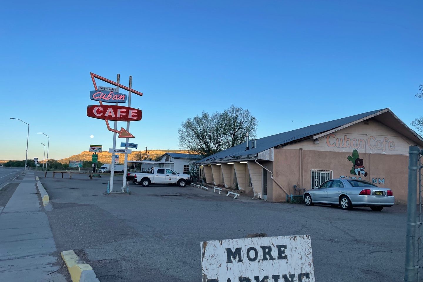
Del Prado Motel (629.1) to 652.2 (23.1 miles)
I fueled up with a big breakfast at the Cuban Cafe. Pancakes, butter, and syrup are great hiker energy!
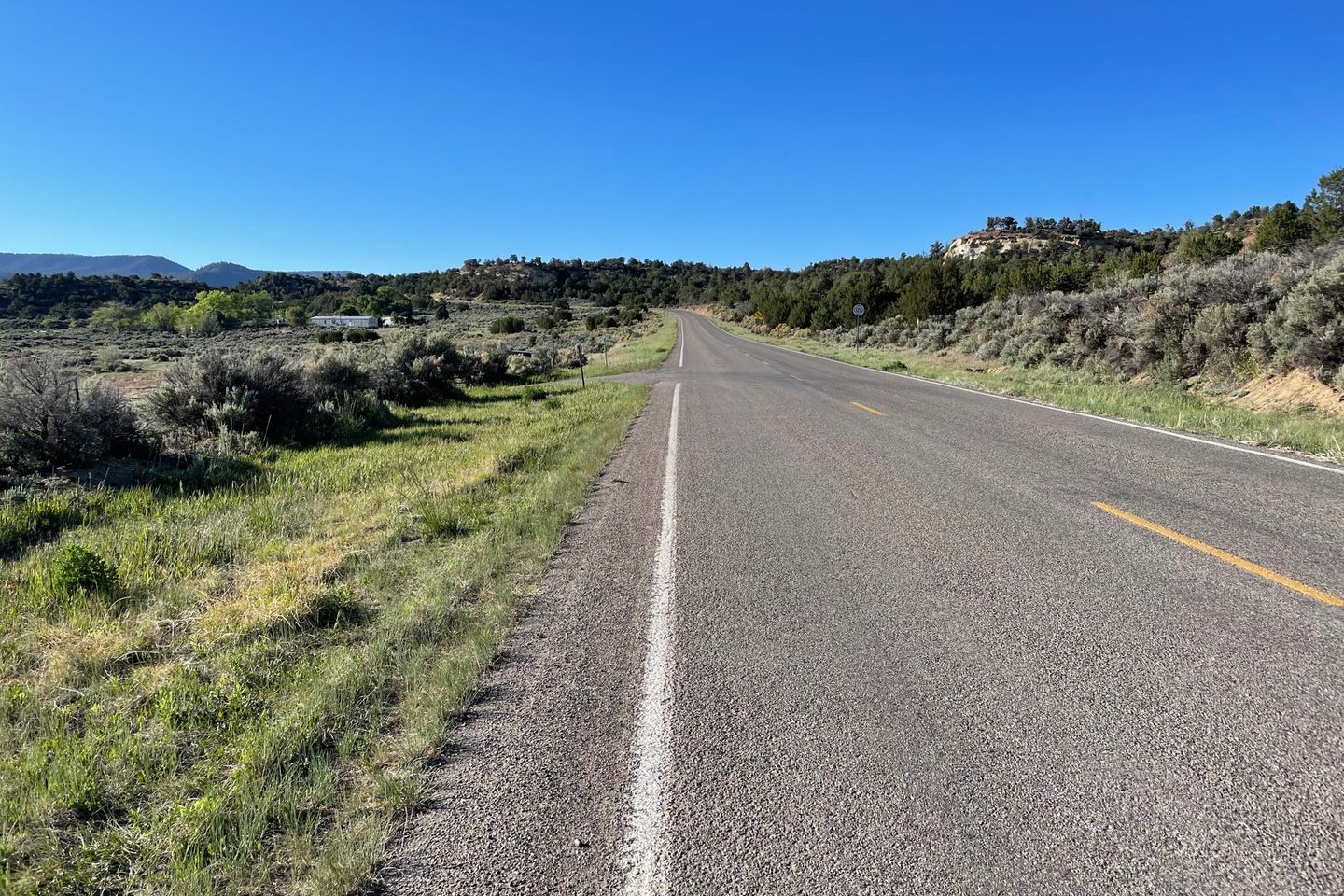
Road walk out of town, of course. The first four miles were a circuitous route leading toward the mountains north of town. Normally Guthook had been good indicating road junctions. But on this section not so much. I had to carefully watch the app to make turns off the road to the next road etc. At least the turn off to true trail was well marked.
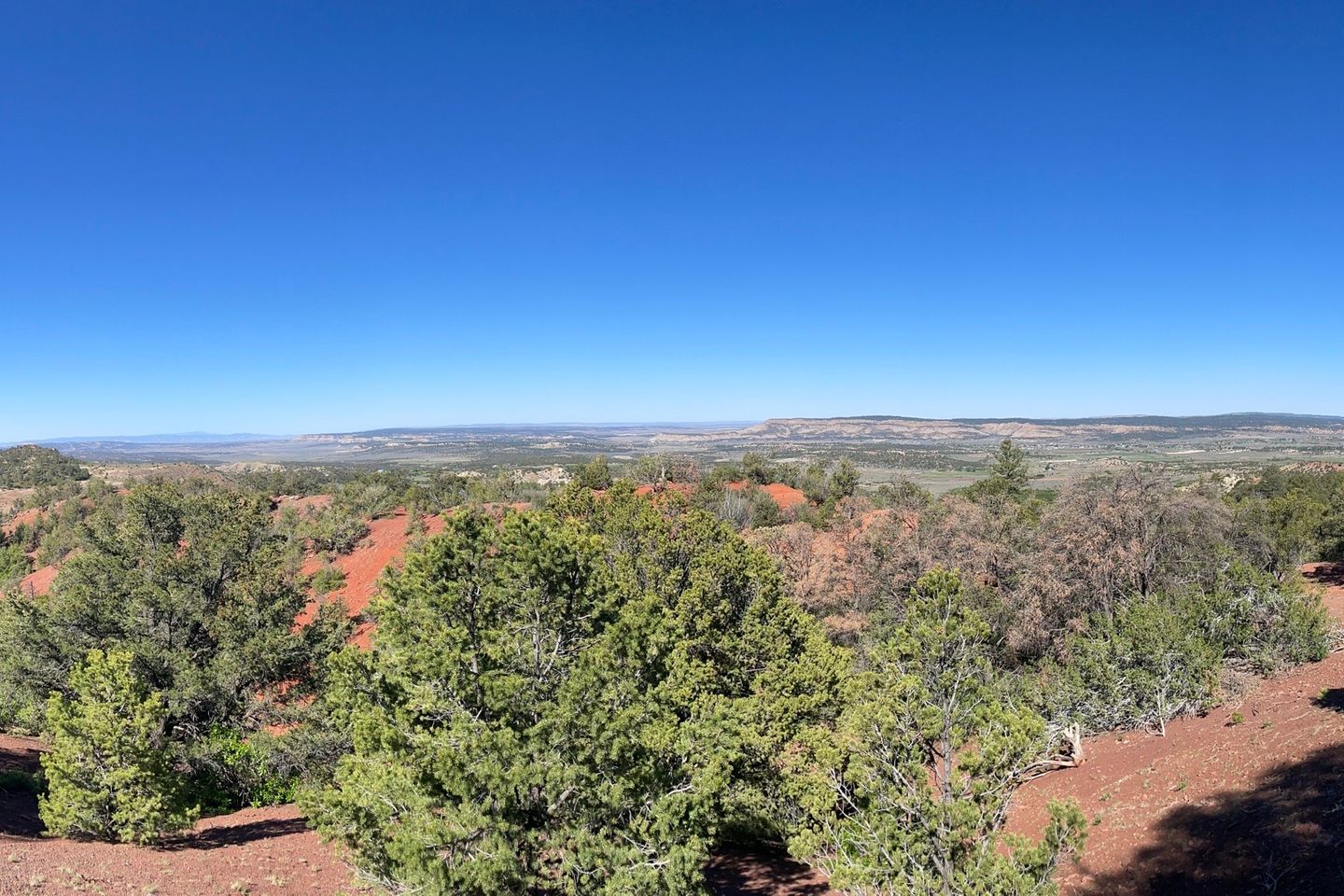
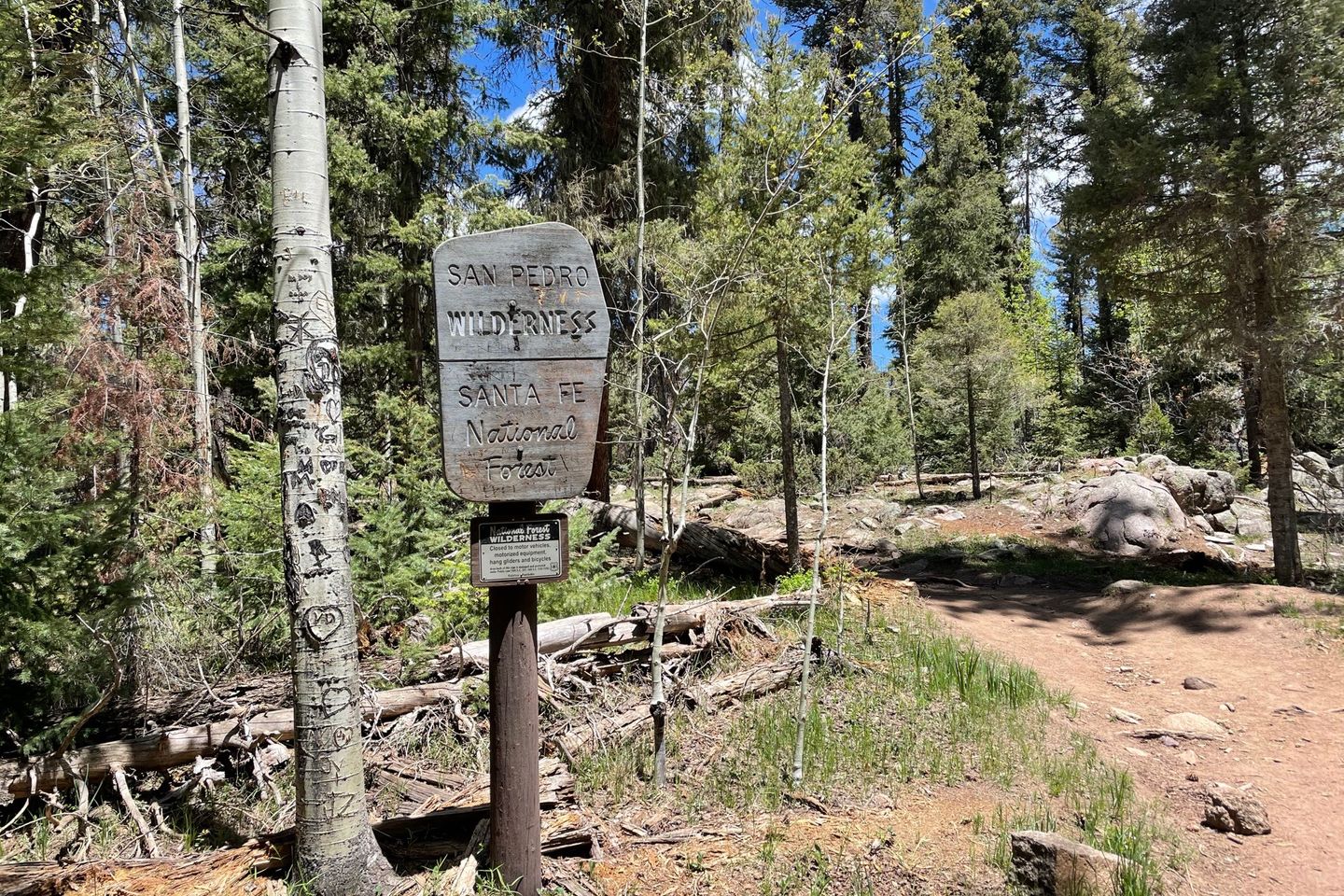
About 2/3 of the day was climbing into the San Pedro mountains north of Cuba. But the trail was well designed and had good switchbacks on the steeper sections.
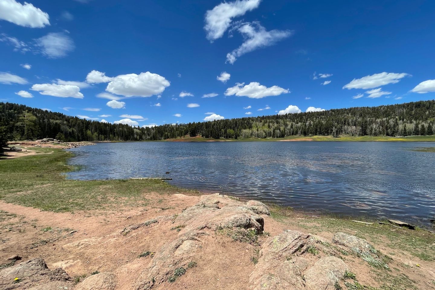
It was a big change in environment— mountains! Much of the day was spent above 10,000 feet. The first goal of the day was San Gregorio Reservoir, which looks like a natural mountain lake. A good dirt road leads to a short trail to the lake, so there were day hikers and fishermen as well. I found a beautiful spot where a stream fed the reservoir for a lunch break and to collect water.
The trail took a turn for the worst just north of the reservoir. There was an area of intense blowdowns that appeared to be fairly recent and included large trees. The trail was completely obscured and required some creative navigation to get around. Fortunately, the area wasn’t large.
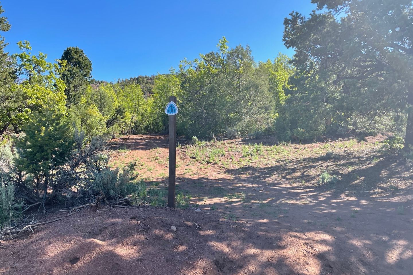
A note on trail markings: I have briefly mentioned in other posts that the CDT is inconsistently marked, which is frustrating at first but you come to accept it. Another factor in this is that the CDT is often other trails that are being used as part of the larger whole. So local trail names add to the confusion. Just north of the reservoir the trail signs call the trail Vaca Creek Trail. OK. But some maps call it the Clear Creek Trail. So trail intersections can be fun to figure out. To add another layer of potential confusion, the CDT was re-routed in this area several years ago and was several miles to the west. This old trail is still shown as the CDT on several charts. Sigh. Just when you completely give up, all of a sudden the trail will have a CDT marker.
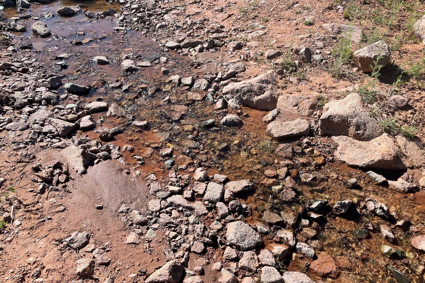
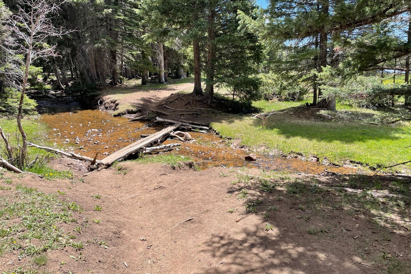
Water was not a problem today. There were numerous small creeks fed by the little remaining snow melt all along the way. That was nice, both not to worry about water and also not to need to carry the extra weight.
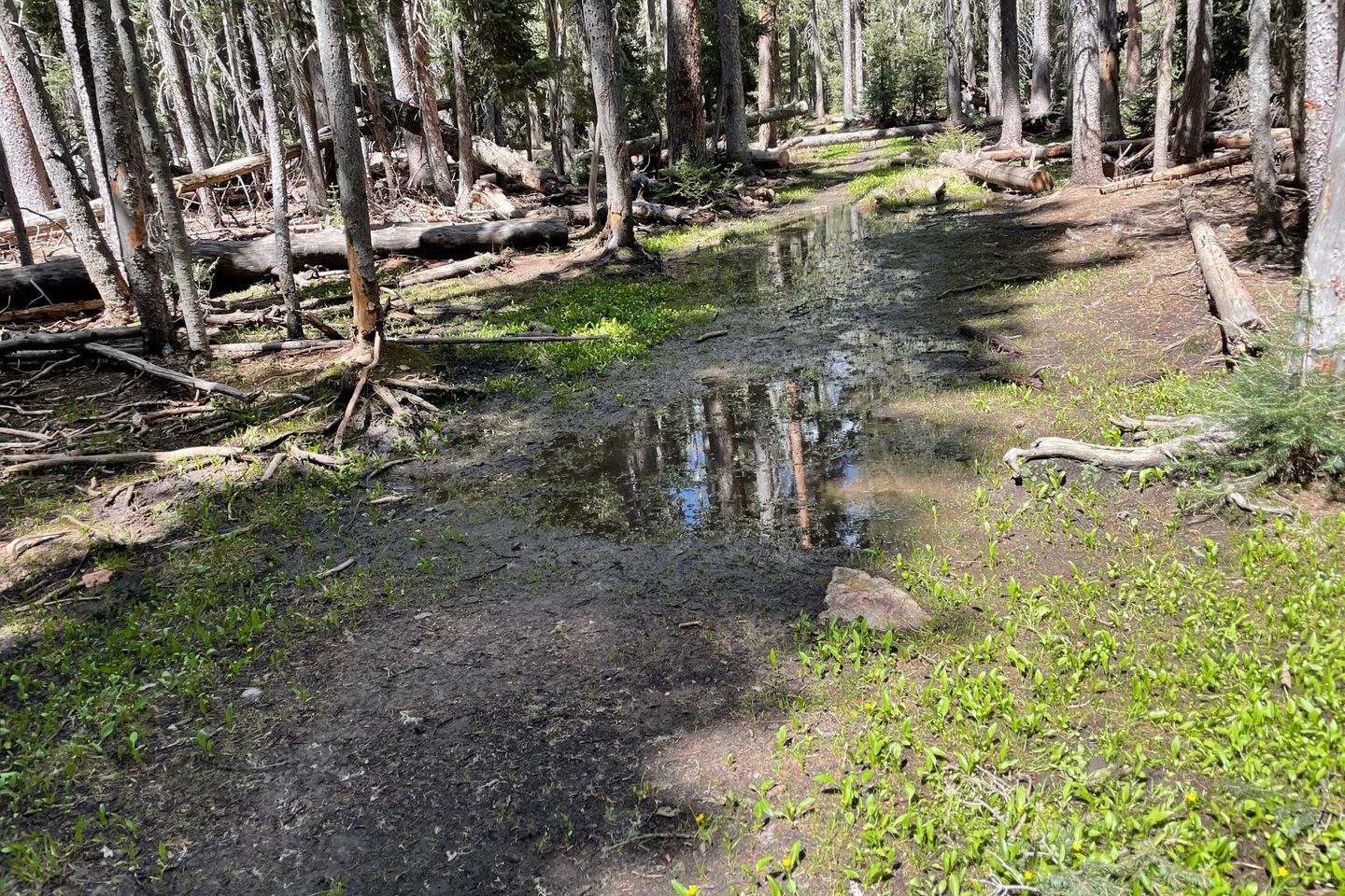
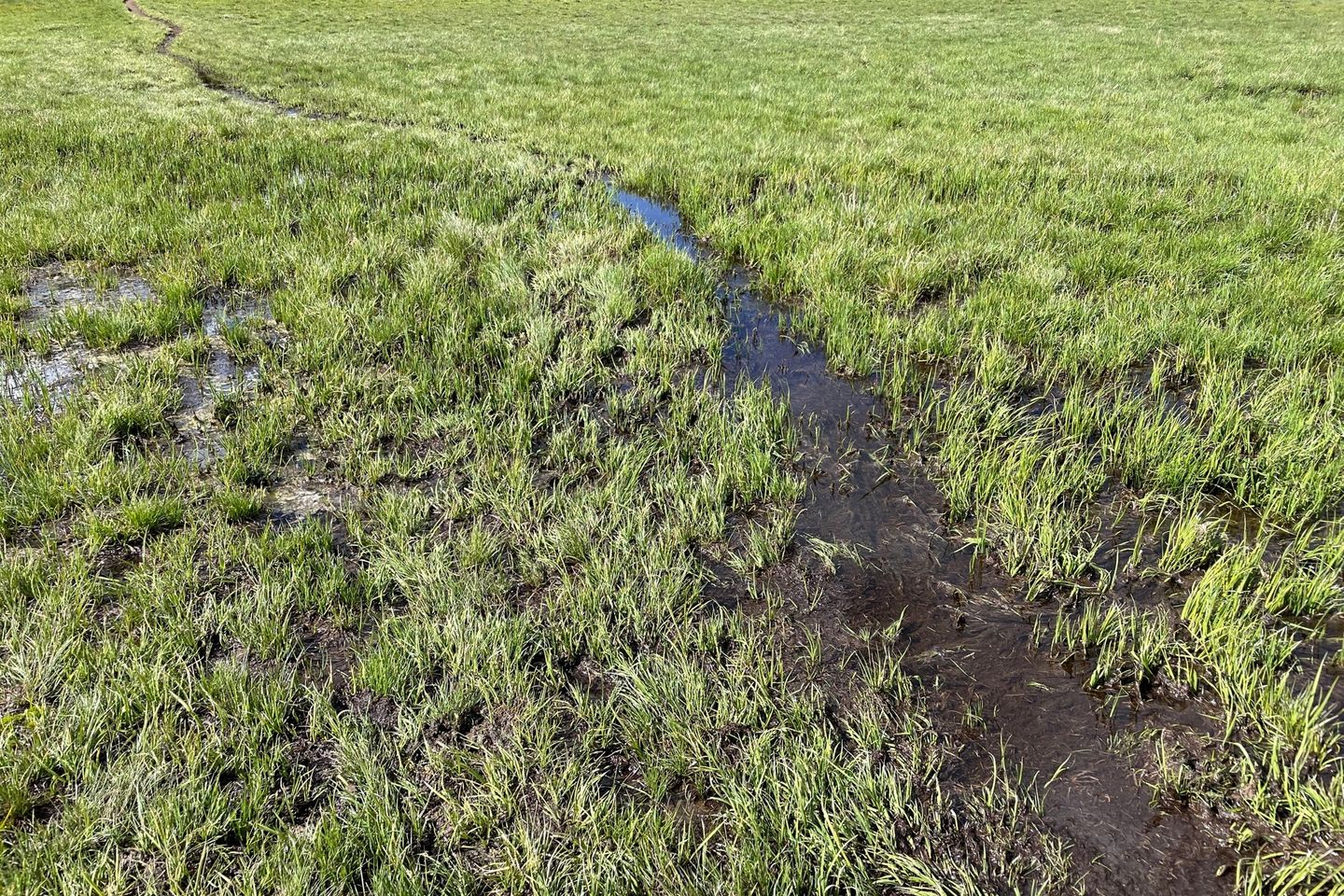
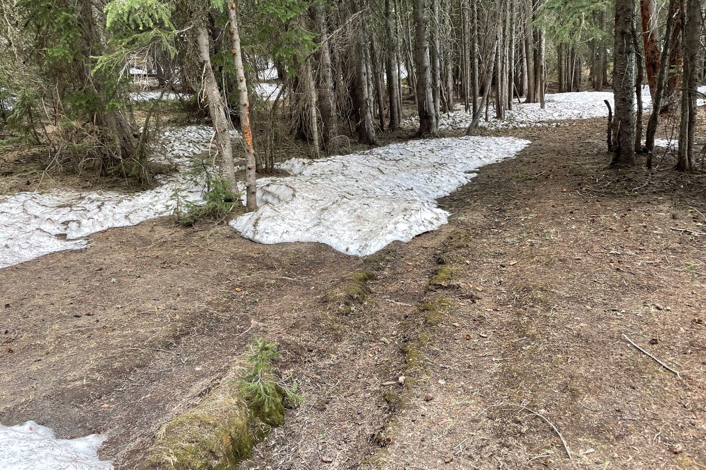
As the trail went higher, small patches of snow could be seen in the shadow of the trees. In the higher, flatter sections, this led to boggy areas of snow melt. There was no getting away from wet shoes. The good news is that there was very little snow on the trail. Comments from even 10 days ago indicated a lot more snow remaining in this area. Lots of melt recently.
Despite the readily available water, I made a water mistake. My goal for a campsite was on the northern descent from the mountains, and there wasn’t water close to it, so I needed to collect some to camp and then make the next source tomorrow. Bottom line: I missed my last listed source. Topographical map to the rescue. I found a stream on my map (on my phone) fairly close to the trail just before the descent began. With all the boggy areas I had been through, I was hoping it would have sufficient flow. Sure enough it did, just enough to collect. Whew.
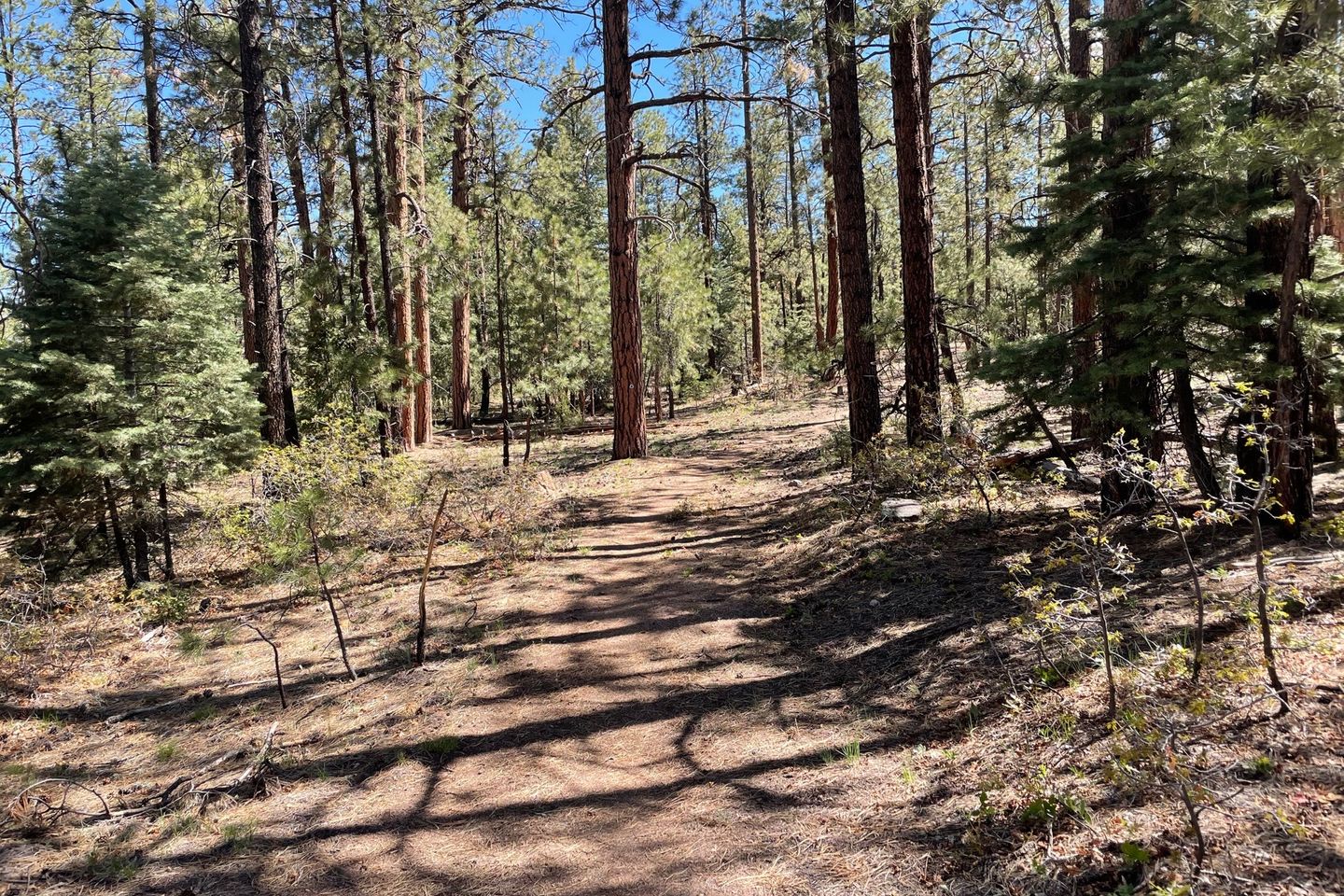
The descent was a different environment again. The mountains caught all the moisture on the south and west facing and top areas, leaving the north side drier. It was still forested, but just drier. Added to that, there had been a big blowdown event there some years ago. Trail maintenance crews had cleared the trail well but it was an eerie place with lots of downed trees. It also led to a funny wildlife incident. A young buck deer and I surprised each other at close range. He was so surprised he froze at first. Then he started to move off, but with all the downed trees he did it slowly. Unfortunately for him, he kept moving in the general direction of the trail. He got more and more frustrated as I was ‘following’ him. He finally found a more open area and moved off. With all the deadfall and movement, I couldn’t get a picture.
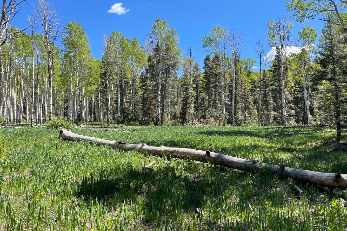
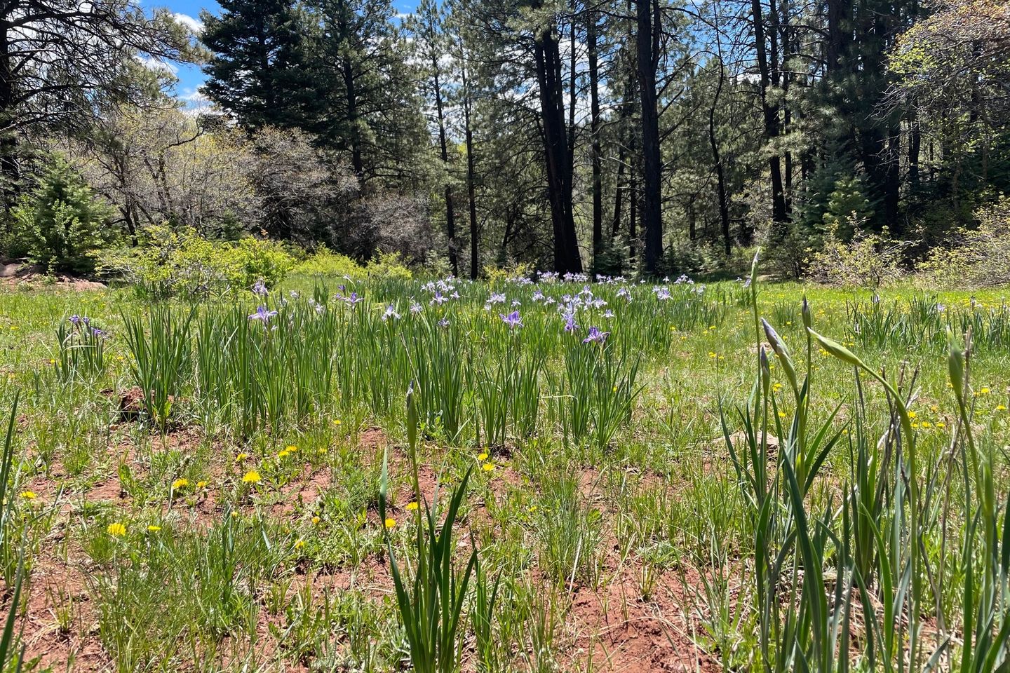
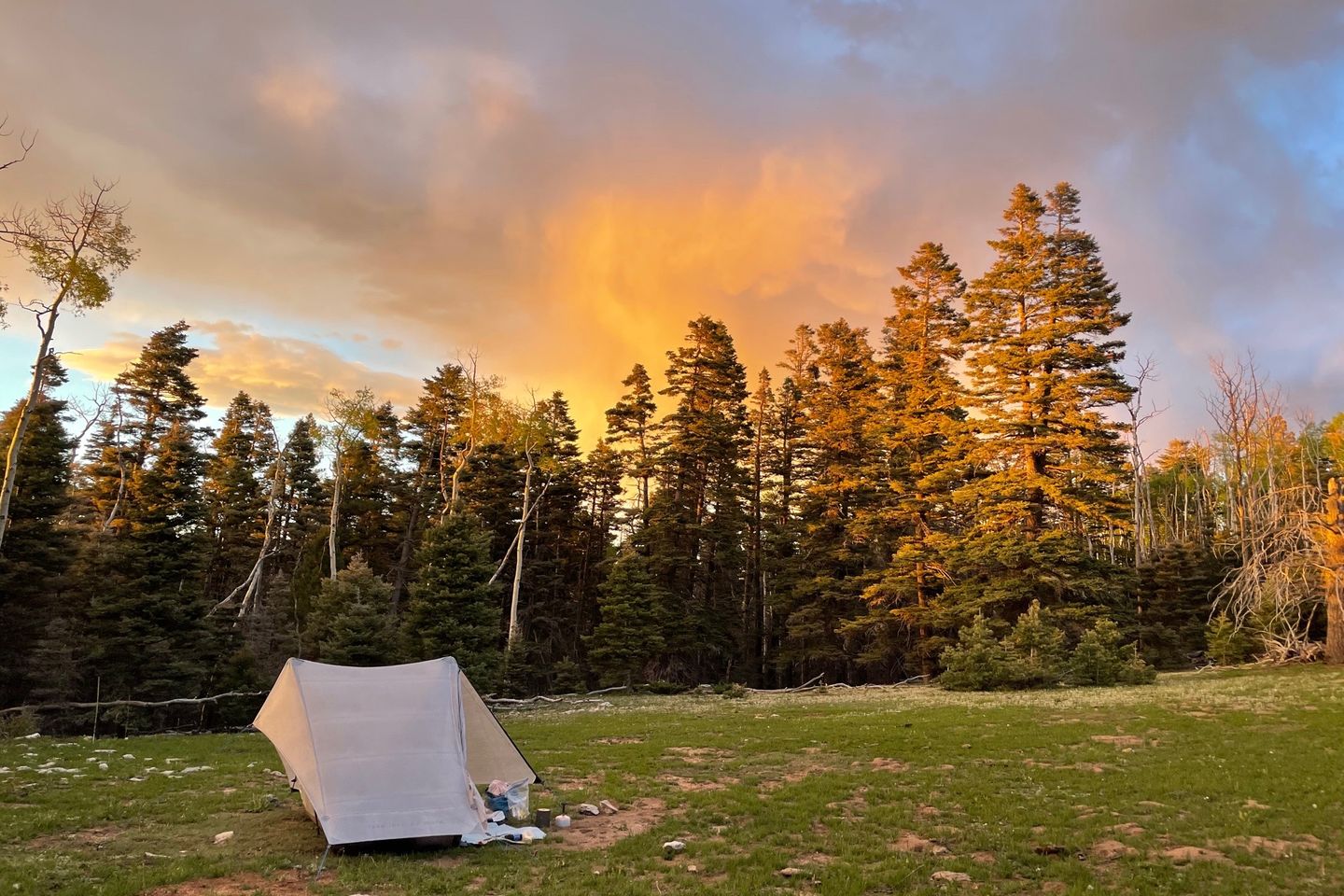
The planned campsite was not a great site and I had daylight left so I picked another spot further down based on a comment in Guthook. It worked out well. I camped in a meadow in the middle of all the blowdowns that had a couple of flat spots. The sunset was nice, reflecting off of a decaying rain cloud nearby. Another funny wildlife incident right after sunset. A grouse showed up who didn’t like my tent. He would carefully approach and within a couple of feet would wildly flutter his wings, apparently trying to scare it off. This went in for about 15 minutes before he gave up.
Finding campsite
Previous: May 26th, 2021
Next: May 28th, 2021


