Want to document and share your hike with friends and family?
Our App is Available for iOS and Android!
Download it now!
Day 14--Saddle Junction to Campsite South of I-10
Day 14--Saddle Junction to Campsite South of I-10
Otter, A Procrastinor's Journey(s) May 4th, 2021
Written Monday, 3 May 2021
True to her word, Jeannine arrived to pick me up, promptly at 0600. She even texted me at 0550 to make sure I still wanted to go at 6. I did. I was back at Humber Park, the foot of the Devil's Slide Trail, by 0620.
Thank you, Jeannine, for being so kind (and early)!
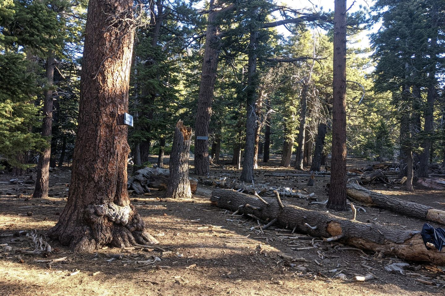
I was honestly dreading the he climb back up to Saddle Junction, where I left the Trail in Friday, but it wasn't that bad in the cool of the morning. It take me almost exactly an hour to make the 2-mile climb (about 1,500 feet vertical). Man, my bag is full!
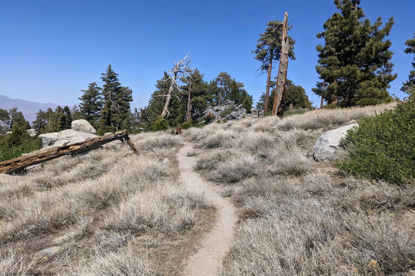
Once I reach Saddle Junction, I'm sweating, even in the cool temps, so I take off and stow my fleece before setting out northward once again.
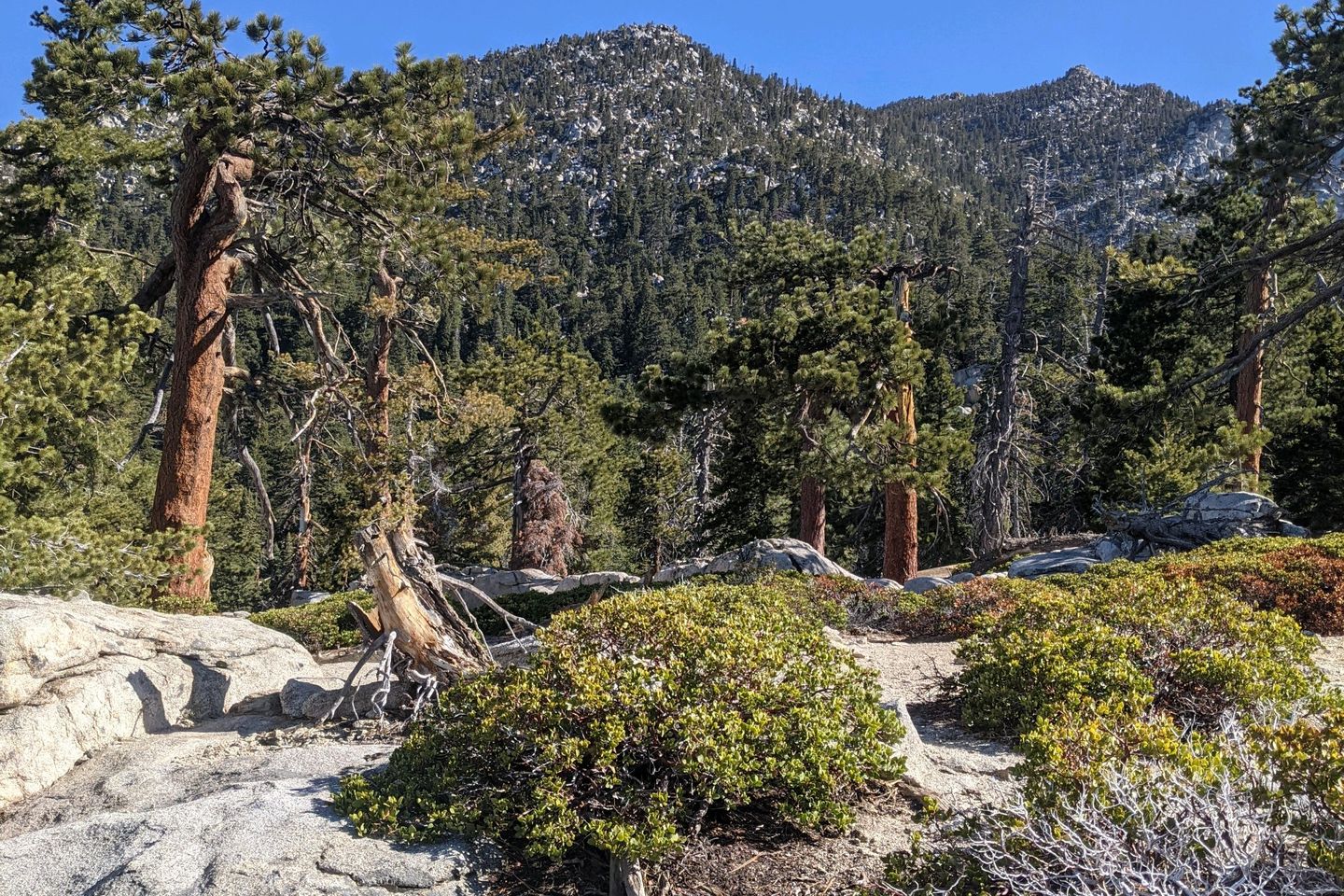
The climbing is not yet done since I am headed toward the summit if San Jacinto. The PCT itself doesn't go over the peak, although you can go to the peak via a side trail if you want to. I don't. I'll save my side-trail climbing for Mount Whitney, in the Sierra, if I make it that far, but there's no reason I need to schlep this full, heavy pack up an extra 1,500 feet of altitude.
Still, the PCT is headed in that general upward direction, and I'm still feeling pretty good. A few miles in, I come to a spot where multiple trails intersect, and, naturally, I choose the wrong one leaving the junction, a mistake I don't realize for about a half mile.
Yes, there's a reason I was never asked to be a navigator in the Air Force!
I double back and finally get back to the junction. Verrrrry carefully, I select the (correct) exit path, and I'm back on track. Based on previous experience, I suspect this is not the last time I will get myself off track on the PCT.
Close to the turn-off for the summit side-trail, at around 9,000 feet, I take a lunch break at a small spring where I can load up with water to carry me through an upcoming 14-mile waterless section. The next water source is beyond where I will try to camp tonight so I need enough to camp and cook. I pound a couple of liters during lunch and carry 4 liters out. Ugh. My pack is so heavy!
Boo hoo, me.
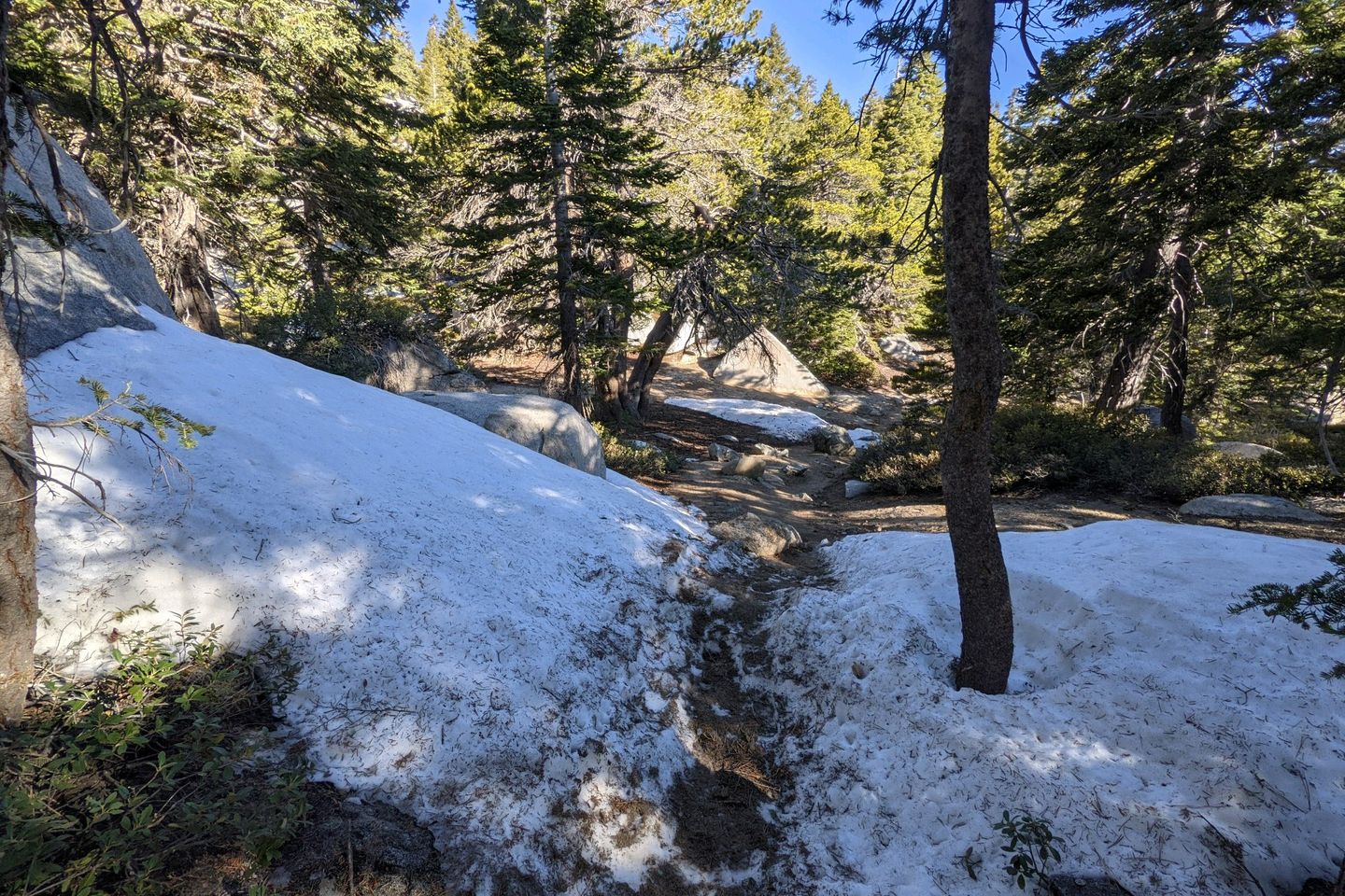
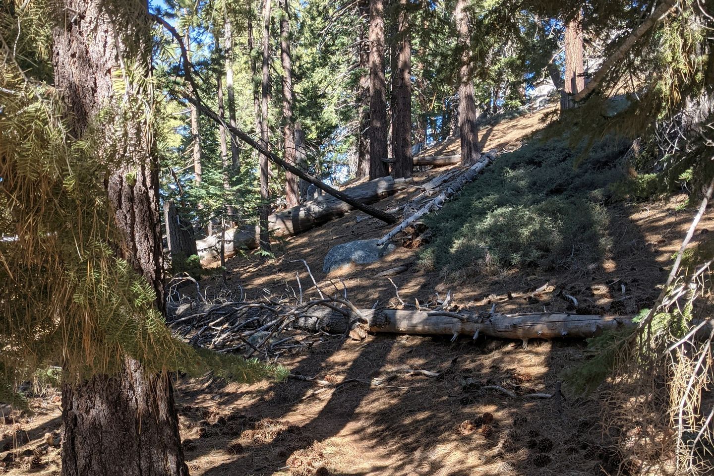
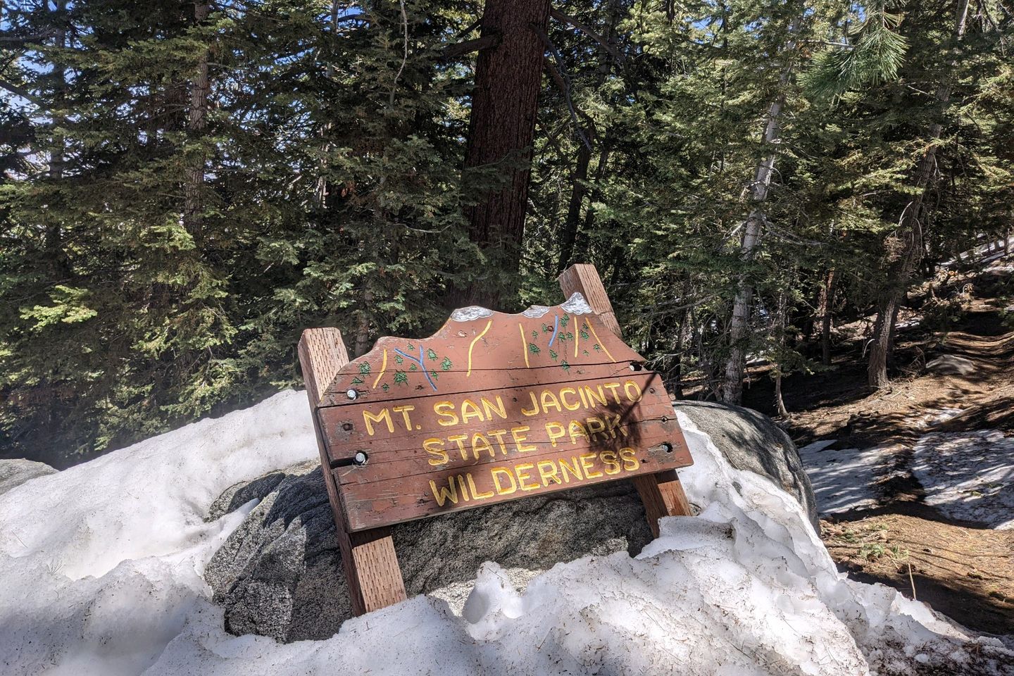
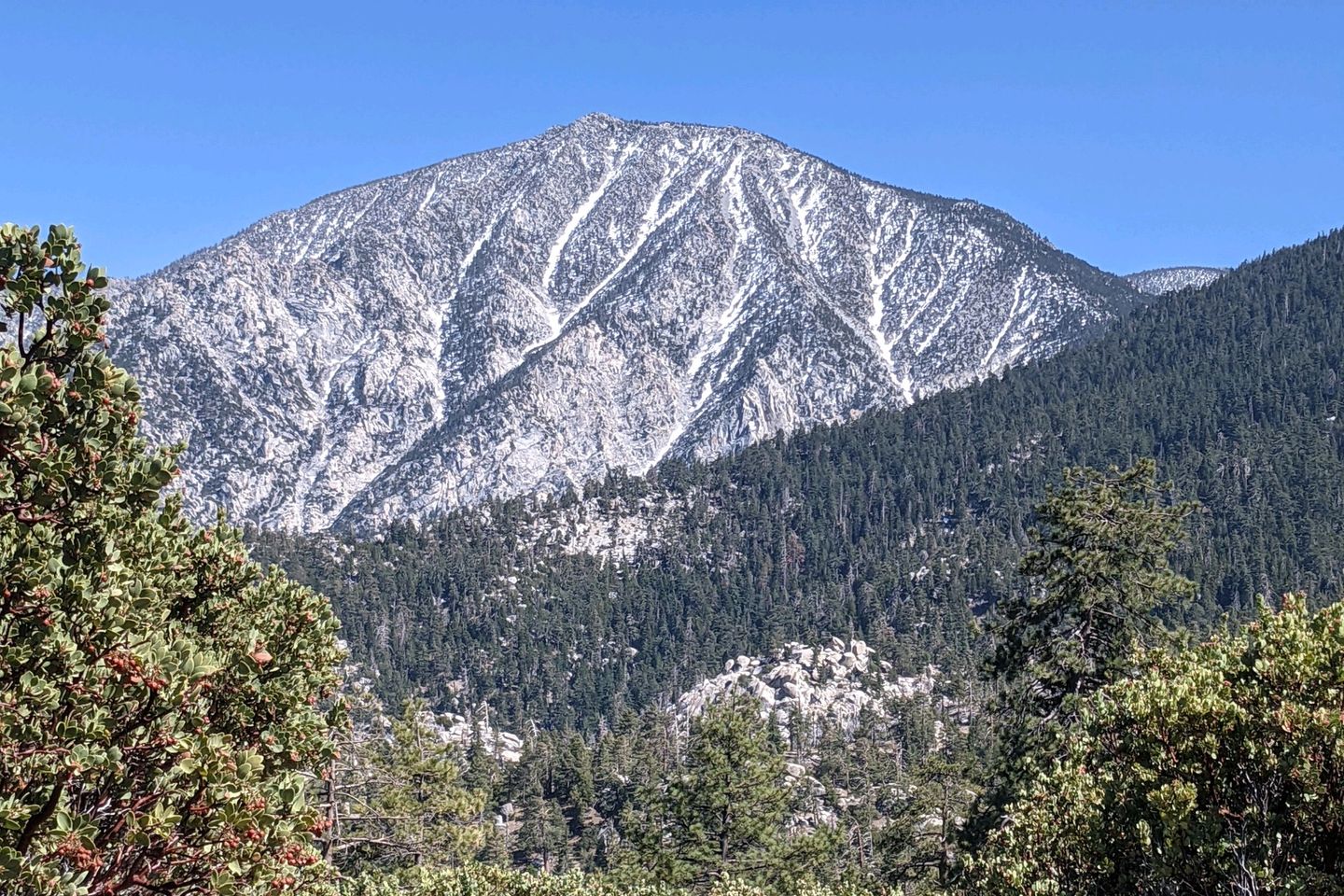
The Trail does turn mostly downward from there, sometimes sharply. We're also now on a northerly face of the mountain, and, for the first time, there are longer stretches of leftover snow to negotiate. It's not deep or dangerous. It's just slippery. I fall several times, but no damage done.
It's slow going for a while, but eventually the descent solves the snow problem, and I probably won't see snow on the Trail again for 500-600 miles (in the Sierra).
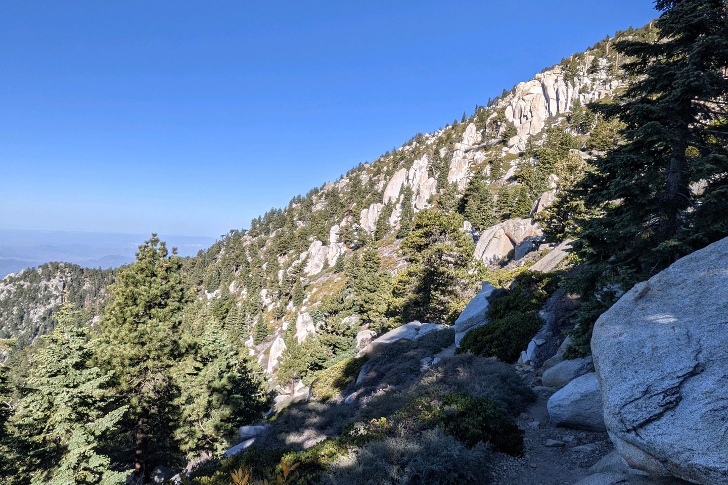
One other effect of the descent is that temps are heating up. Gone are the cool temps of the early part of the day, replaced by afternoon heat, just as the Trail carries us across a more westerly face of San Jacinto. The sun bears down from a cloudless sky on a shadeless trail. The lyrics of Buster Poindexter's "Hot, Hot, Hot" are on a continuous loop in my noggin.
As the afternoon drags on, I start passing potential camp sites, but I bypass them--ovrr the strong objections of my knees and quads--hoping to get as close as I can to that next water source.
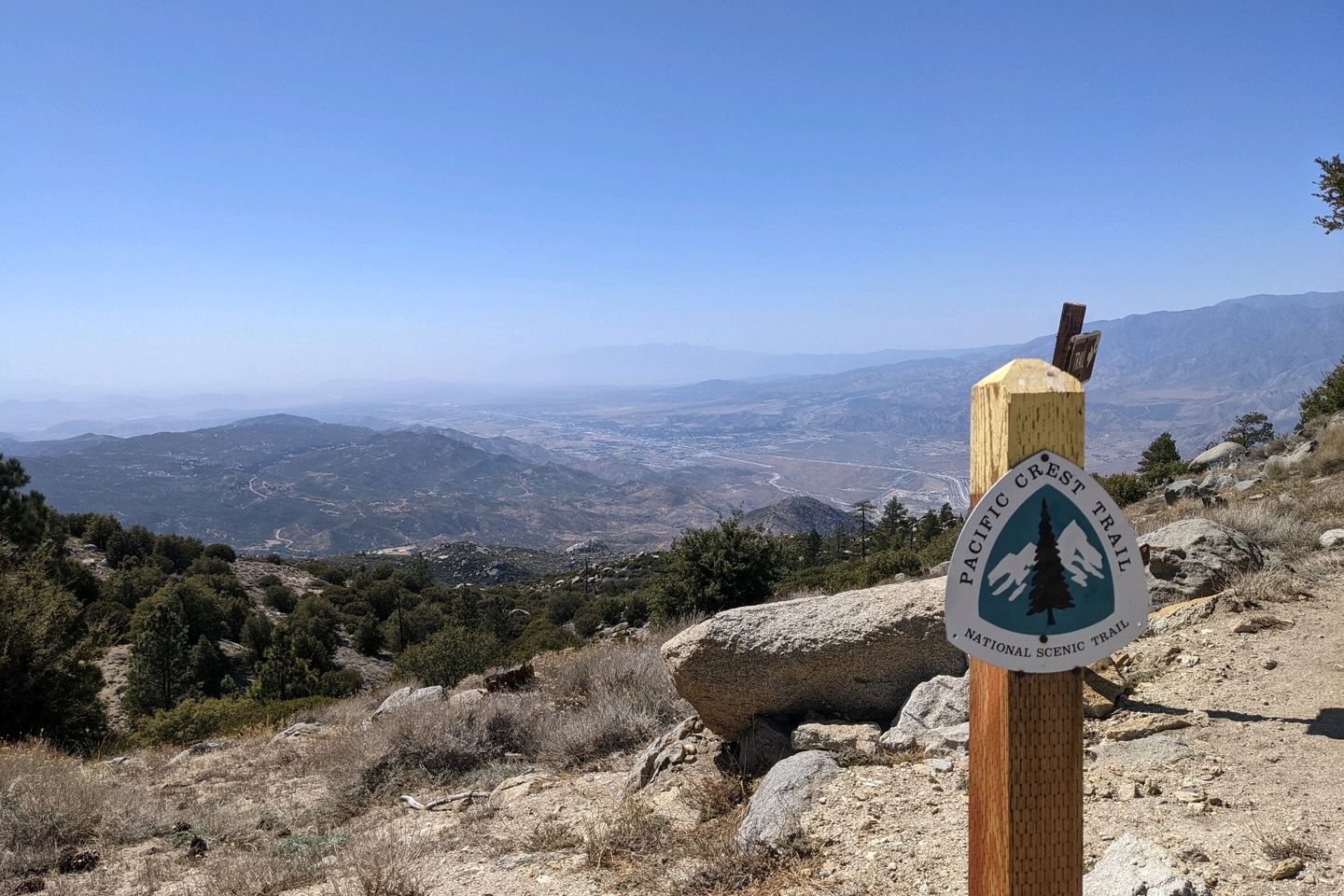
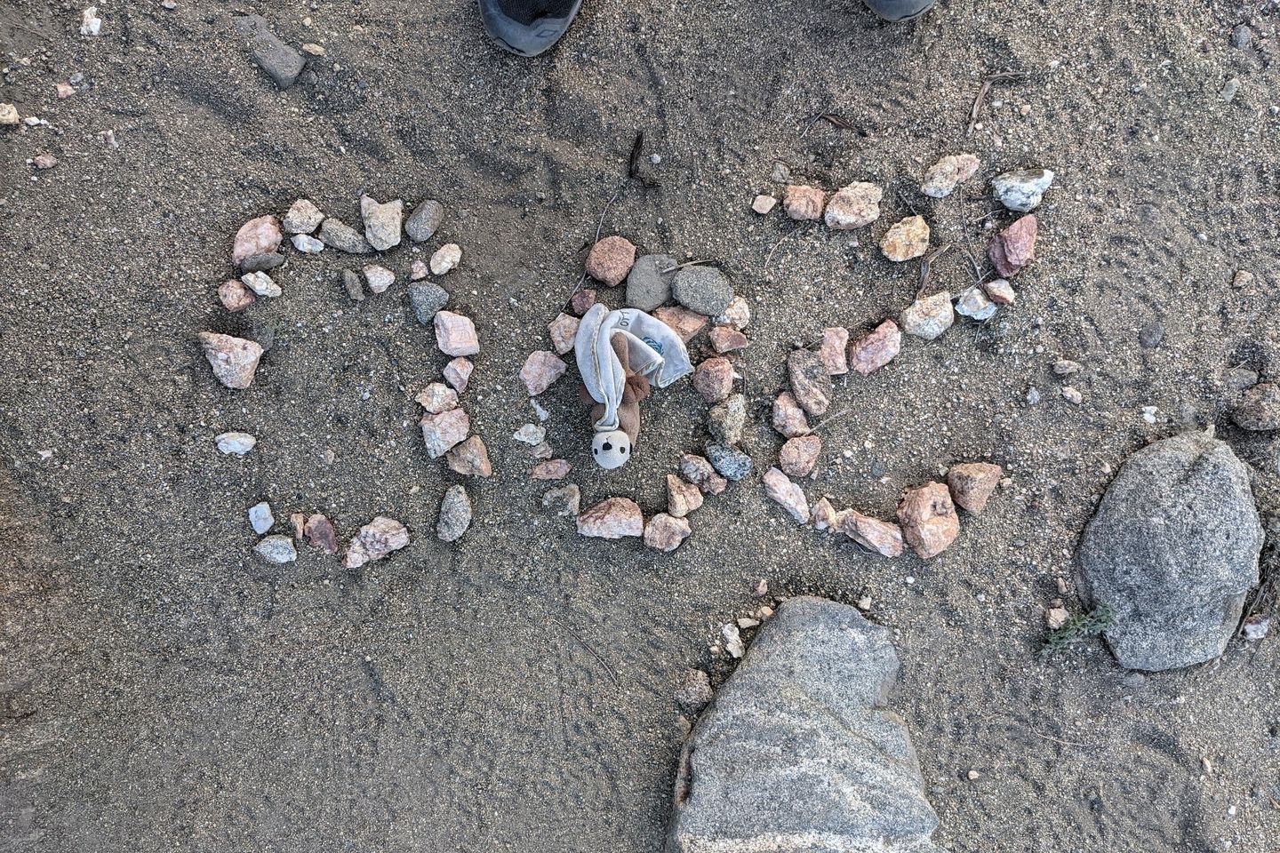
I did pass the 200 mile point too.
Finally, at about 1830, I come to a small spot, already occupied by two hikers, one of whom I've met on the Trail.
I ask if there's that for one more. The guy I have met starts to equivocate, but the other guy says, "Yeah, we can make room for you," and starts to move his gear the create some space. I can't help but notice that the guy I had met previously had his gear spread out over an area about the area of New Jersey.
Once we carve out some space for me, we make introductions. The accommodating guy is Good Things. I introduce myself as Otter.
Good Things says, "Wait a minute. You're Otter? Are you from the east coast? I think a friend of mine told me to be on the lookout for you."
Sure enough, turns out he is aquatinted with Soups, one of the fastest, syringes hikers I met on the Appalachian Trail...in 2017! There's no way I could ever keep up with Soups on the Trail, but we had stayed in correspondence. Turns out Soups had sent Good Things a BOLO for me, just last night!
So this is obviously where I was meant to be. The Trail is full of weird coincidences like this.
Anyway, putting up a tent here is out of the question so cowboy camping it is.
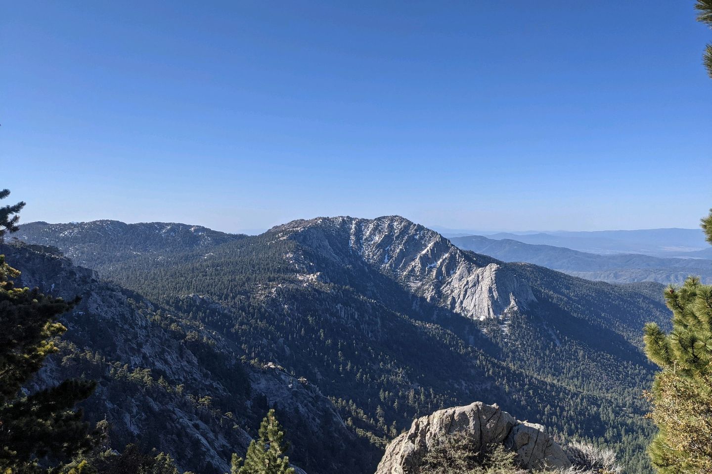
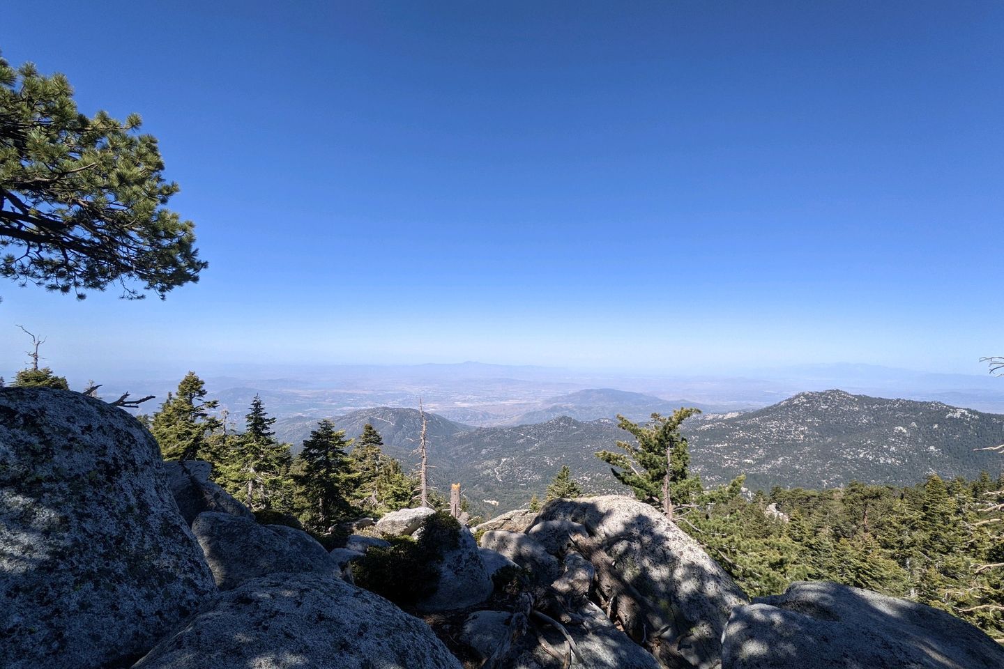
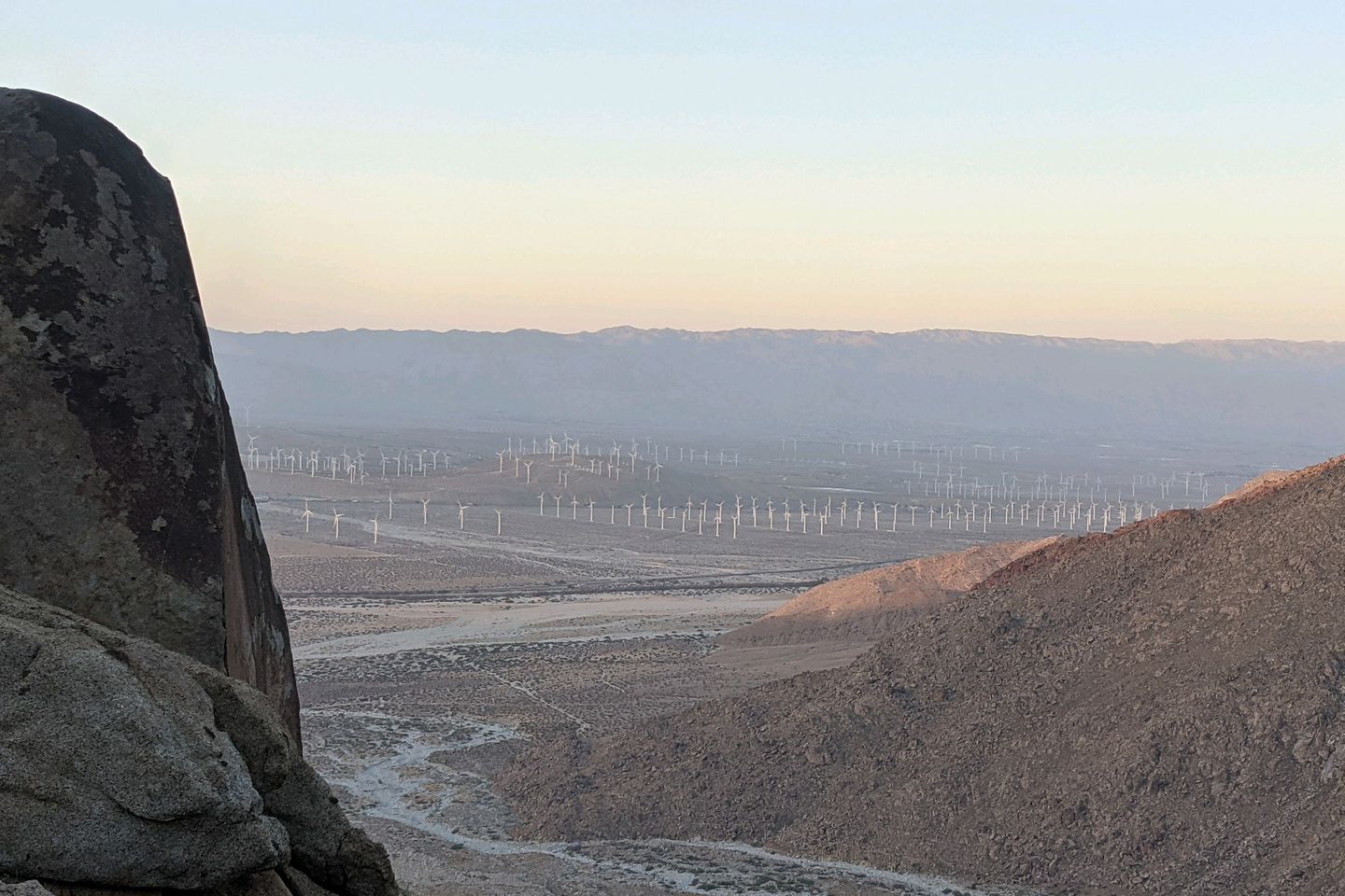
I'm safe, dry, and warm here on the flank of San Jacinto. We're looking out across the desert, over an enormous wind farm, and, in the distance, Interstate 10. Seems like I have been on some part of this mountain for about 3 hiking days.
Night!
Miles hiked today: 23.2 Total miles hiked: 202.7
Sea Otter Fact of the Day: Sea otters have evolved special kidneys that enable them to extract the the water they need to survive from salty sea water
Previous: May 2nd, 2021
Next: May 5th, 2021
Comments (2)
So, we finally found your log and are caught up on your first 200 miles! Looks like you're in a beautiful spot near Big Bear today. Keep the pictures and stories coming and make sure to take a left at Cajon Pass (or take a right onto the Spanish Trail and go right past my old home at George AFB). Bandit says hello and be well!


Haha, yes! I took the left. Sent you a separate email about my PKSD...! Scrunches for Bandit!